The best cycling routes in Illawarra Escarpment State Conservation Area
4.5
(39)
1,367
riders
43
rides
Touring cycling routes in Illawarra Escarpment State Conservation Area traverse a landscape characterized by the dramatic Illawarra Escarpment, which features sandstone cliffs and verdant gullies. The region offers diverse terrain, including extensive coastal cycling paths along the Pacific Ocean and shared paths around Lake Illawarra. Cyclists can also find routes that ascend into the escarpment's eucalypt and cedar forests, providing elevated views.
Best touring cycling routes in Illawarra Escarpment State Conservation Area
- The most popular touring cycling route is View…
Last updated: July 2, 2026
5.0
(1)
119
riders
Moderate bike ride. Good fitness required. Mostly paved surfaces. Suitable for all skill levels.
5.0
(1)
33
riders
70.1km
04:15
370m
370m
Moderate bike ride. Good fitness required. Mostly paved surfaces. Suitable for all skill levels.

Sign up for free
24
riders
66.0km
04:31
1,030m
1,030m
Hard bike ride. Very good fitness required. Mostly paved surfaces. Suitable for all skill levels.
19
riders
21.8km
01:51
580m
580m
Hard bike ride. Very good fitness required. Mostly paved surfaces. Suitable for all skill levels.
7
riders
52.8km
04:12
710m
710m
Hard bike ride. Very good fitness required. Mostly paved surfaces. Suitable for all skill levels.
Get access to more routes and recommendations from other explorers.
Sign up for free
Already have an account?
Our route recommendations are based on thousands of hikes, rides, and runs completed by other people on komoot.
Start today with a free account
Your next adventure awaits.
Login or Signup
Popular around Illawarra Escarpment State Conservation Area
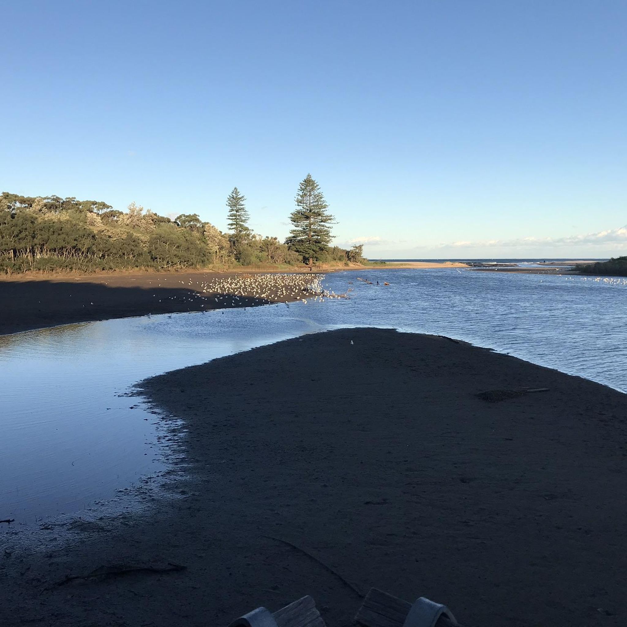
Tips from the Community

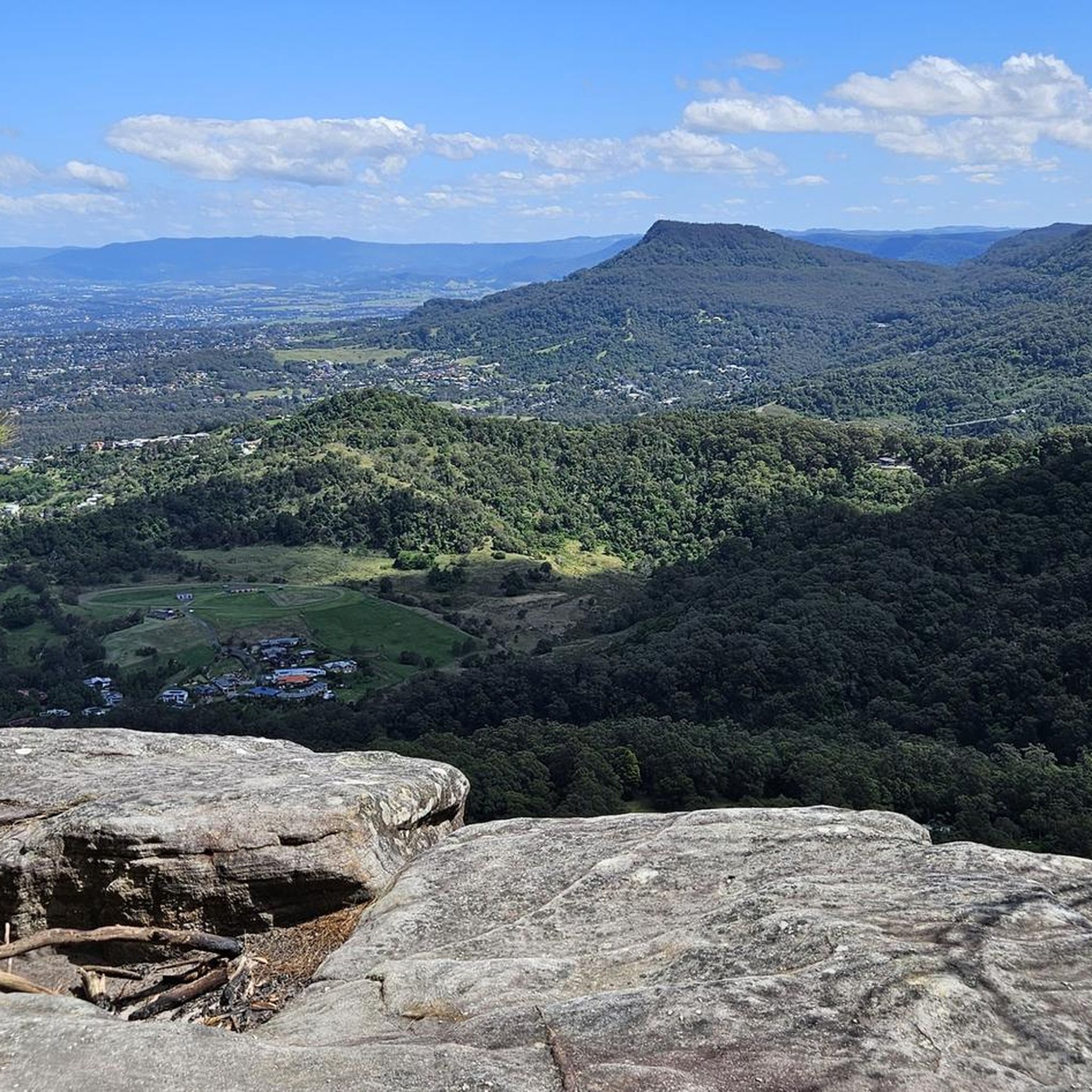
Otford Lookout sits high above the southern coastline of Royal National Park, with sweeping views over Bulgo Beach, the Illawarra coastline, and the Pacific Ocean. The adjacent parking lot is also the southern trailhead for the Coast Track and Werrong Beach Track, making it a popular starting point for some of the park’s best coastal walks. Even if you’re not heading out on an adventure, it’s a worthwhile stop to take in the fantastic cliff-top scenery.
0
0
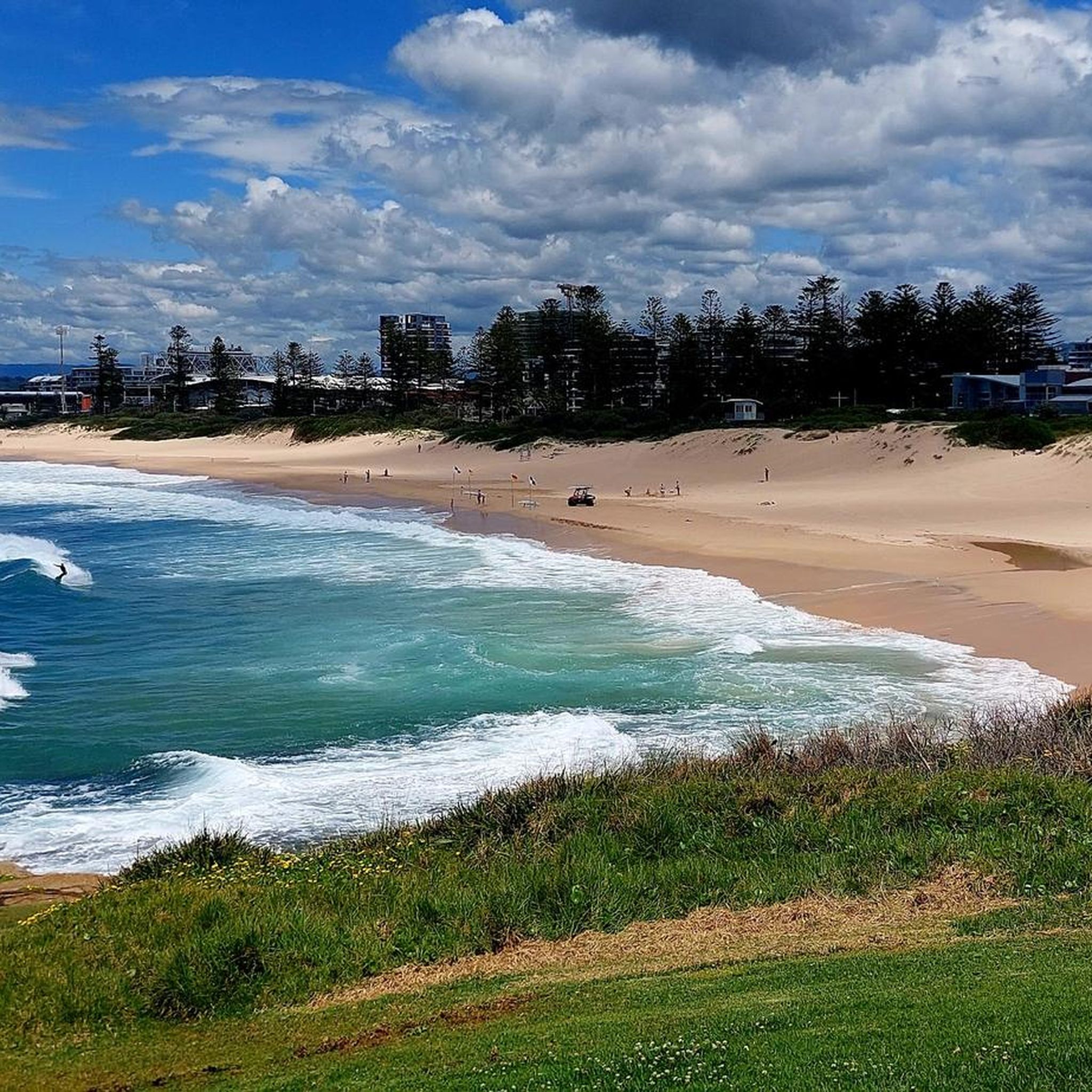
Towradgi Beach is a beautiful stretch of golden sand that extends from Towradgi Creek to the mouth of Fairy Creek. Popular for swimming, surfing, fishing, and beach walks, it also includes a saltwater rock pool, picnic areas, playgrounds, and direct access to the shared coastal cycleway. Its wide shoreline, family-friendly facilities, and picturesque coastal setting make it one of Wollongong's most popular beaches.
0
0

This lookout rewards you with clear views along the shore, where the Illawarra escarpment runs alongside the ocean in the distance. The viewpoint sits just above the water, with rock platforms and smaller bays breaking up the shoreline. It’s an easy place to stop along the track, with uninterrupted views in both directions.
0
0
Bulli Beach is a long surf beach backed by dunes, open grass reserve, and the escarpment rising behind the coastline. The beach is around 900 metres long and is well known for surfing, with Sandon Point forming its northern headland. A shared walking and cycling path runs beside the sand, linking the northern suburbs along the coast. Conditions can change quickly, with rips and surf depending on swell and tide.
0
0
Audley Visitor Centre and the surrounding picnic area sit right along the Hacking River in the central valley of Royal National Park. The historic precinct includes open lawns, picnic areas, and access to walking and cycling routes through the park. Set along the river near the Audley weir, it is a popular starting point for exploring the park’s bushland and waterways.
0
0

Belmore Basin is a beach sheltered by the breakwall, and is a popular spot for lounging, fishing, and going for a walk on the Blue Mile. From here, there are nice views of the Wollongong Breakwater Lighthouse from across the little harbor.
0
0
This Surf Lifesaver Statue commemorates 100 years of surf lifesaving in the city of Wollongong. The North Wollongong Surf Lifesaving Club and Wollongong City Surf Life Saving Club erected this statue to remember the Bathing and Life Saving Club of 1908.
0
0
The Wollongong Breakwater Lighthouse sits at the entrance to Wollongong Harbour. It was constructed in 1872 to lead ships safely into the harbour during the area's coal boom. Nowadays, the lighthouse is no longer used as a navigational aid, but it also stands as a monument. The lighthouse is a great spot to enjoy a sunset and watch waves crash on the basalt rocks of the breakwater.
0
0
Frequently Asked Questions
How many touring cycling routes are available in Illawarra Escarpment State Conservation Area?
There are over 40 touring cycling routes available in the Illawarra Escarpment State Conservation Area. These routes cater to various skill levels, with 16 easy, 14 moderate, and 14 difficult options to explore.
What types of landscapes can I expect to see while touring cycling in the Illawarra Escarpment region?
The region offers a diverse range of landscapes. You'll encounter the dramatic Illawarra Escarpment with its sandstone cliffs and verdant gullies, ranging from sub-tropical rainforests to eucalypt and towering cedar forests. Many routes also feature extensive coastal paths along the Pacific Ocean and scenic shared paths around Lake Illawarra.
Are there any family-friendly touring cycling routes in the Illawarra Escarpment State Conservation Area?
Yes, the region offers several family-friendly options, particularly along the coast and around Lake Illawarra. These shared paths are often mostly flat, providing continuous ocean views or serene lake scenery, and are dotted with cafes, parks, and playgrounds for leisurely stops. Many of the 16 easy routes are suitable for families.
What are some notable viewpoints or landmarks I can visit on a touring cycling route?
You can find numerous scenic viewpoints. Mount Keira and Mount Kembla offer sweeping panoramic views of Wollongong and the coastline. Sublime Point Lookout provides expansive ocean and coastal plain vistas. For a route that includes stunning coastal views, consider the View from Bald Hill – Otford Lookout loop from Stanwell Park.
Are there any touring cycling routes that feature waterfalls?
While the Illawarra Escarpment is known for picturesque waterfalls like Red Cedar Creek Falls, specific touring cycling routes directly to them might be limited. However, many routes traverse the lush escarpment forests where smaller cascades might be visible, especially after rain. For dedicated waterfall visits, you might need to combine cycling with short walks.
What do other touring cyclists say about the routes in Illawarra Escarpment State Conservation Area?
The touring cycling routes in Illawarra Escarpment State Conservation Area are highly rated by the komoot community, with an average score of 4.5 stars from over 33 reviews. Cyclists often praise the varied terrain, from challenging escarpment climbs to serene coastal rides, and the stunning natural beauty of the region.
Can I find circular touring cycling routes in the area?
Yes, many of the touring cycling routes in the Illawarra Escarpment State Conservation Area are designed as loops, allowing you to start and finish at the same point. Examples include the popular View south toward Sandon Point – Coledale Beach Camping Reserve loop from Wombarra and the challenging Mount Brisbane loop from University of Wollongong.
Are there any challenging touring cycling routes for experienced riders?
Absolutely. The Illawarra Escarpment offers several difficult routes for experienced touring cyclists. These often involve significant elevation gains and provide rewarding panoramic views. A challenging option is the Otford Lookout – Lady Carrington Drive loop from Stanwell Park, which features substantial climbing.
What is the best time of year to go touring cycling in the Illawarra Escarpment State Conservation Area?
The Illawarra region generally enjoys a mild climate, making it suitable for touring cycling for much of the year. Spring and autumn offer pleasant temperatures and often stable weather conditions, ideal for exploring both coastal and escarpment routes. Summer can be warm, especially on exposed coastal paths, while winter is generally mild but can bring cooler temperatures and occasional rain.
Are there any routes that combine coastal paths with forest sections?
Yes, some routes offer a blend of coastal and forested environments, providing a diverse touring experience. The Towradgi Beach – Gravel Path Through Forest loop from Wombarra is a great example, combining scenic coastal paths with sections that wind through diverse forest types.
What are the options for parking near touring cycling trailheads?
Parking is generally available at various access points along the coastal cycling paths, around Lake Illawarra, and near the starting points of many escarpment routes. Specific parking availability can vary by trailhead, so it's advisable to check local signage or route descriptions for details before you go.
Can I access touring cycling routes using public transport?
Many areas within the Illawarra region are accessible by public transport, particularly train stations along the South Coast line which run parallel to the coastline. This allows cyclists to reach various starting points for coastal routes or connect to areas closer to the escarpment. Check local transport schedules for the most up-to-date information on routes and accessibility.
Most popular routes in Illawarra Escarpment State Conservation Area
Most popular attractions in Illawarra Escarpment State Conservation Area

Get inspired with the komoot mobile app


Explore more
Browse the best Cycling routes in other regions.
