The best road cycling routes in Garawarra State Conservation Area
4.6
(5)
729
riders
8
rides
Road cycling in Garawarra State Conservation Area offers diverse landscapes and varied terrain between Sydney and Wollongong. The region features a mix of diverse forests, including scribbly gum and subtropical rainforest, alongside coastal paths providing views of the Illawarra region. Routes often include well-paved surfaces, with some segments presenting elevation changes. This area provides a natural environment for road cyclists seeking different levels of challenge.
Best road cycling routes in Garawarra State Conservation Area
- The most popular road cycling route…
Last updated: July 4, 2026
117
riders
66.6km
03:47
1,040m
1,040m
Hard road ride. Very good fitness required. Mostly well-paved surfaces and easy to ride.
59
riders
84.1km
04:38
1,090m
1,090m
Hard road ride. Very good fitness required. Some segments of this route may be unpaved and difficult to ride.

Sign up for free
42
riders
28.2km
01:33
440m
440m
Moderate road ride. Good fitness required. Mostly well-paved surfaces and easy to ride.
30
riders
46.7km
02:42
800m
800m
Moderate road ride. Good fitness required. Mostly well-paved surfaces and easy to ride.
26
riders
31.4km
01:46
500m
500m
Moderate road ride. Good fitness required. Mostly well-paved surfaces and easy to ride.
Get access to more routes and recommendations from other explorers.
Sign up for free
Already have an account?
Our route recommendations are based on thousands of hikes, rides, and runs completed by other people on komoot.
Start today with a free account
Your next adventure awaits.
Login or Signup
Popular around Garawarra State Conservation Area
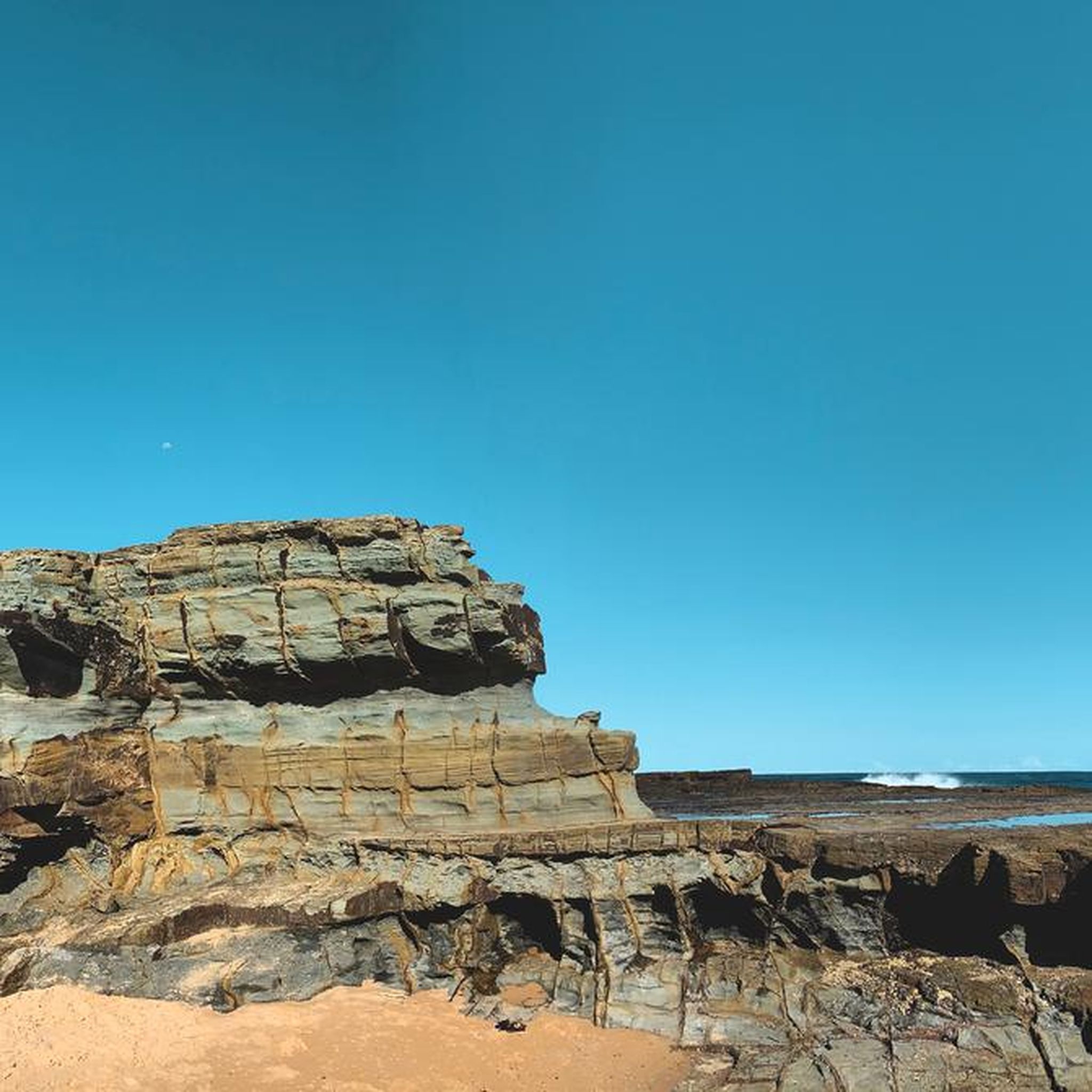
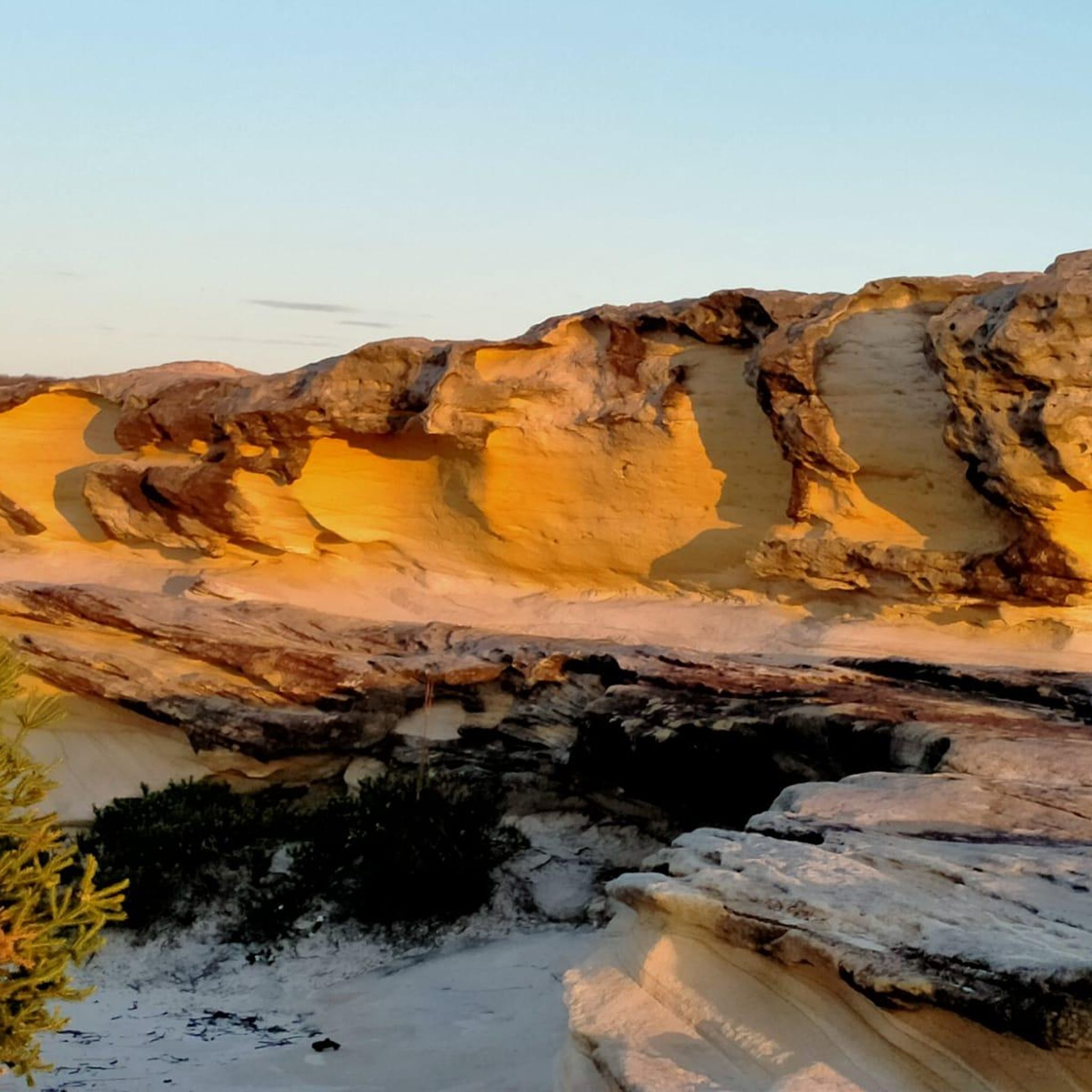
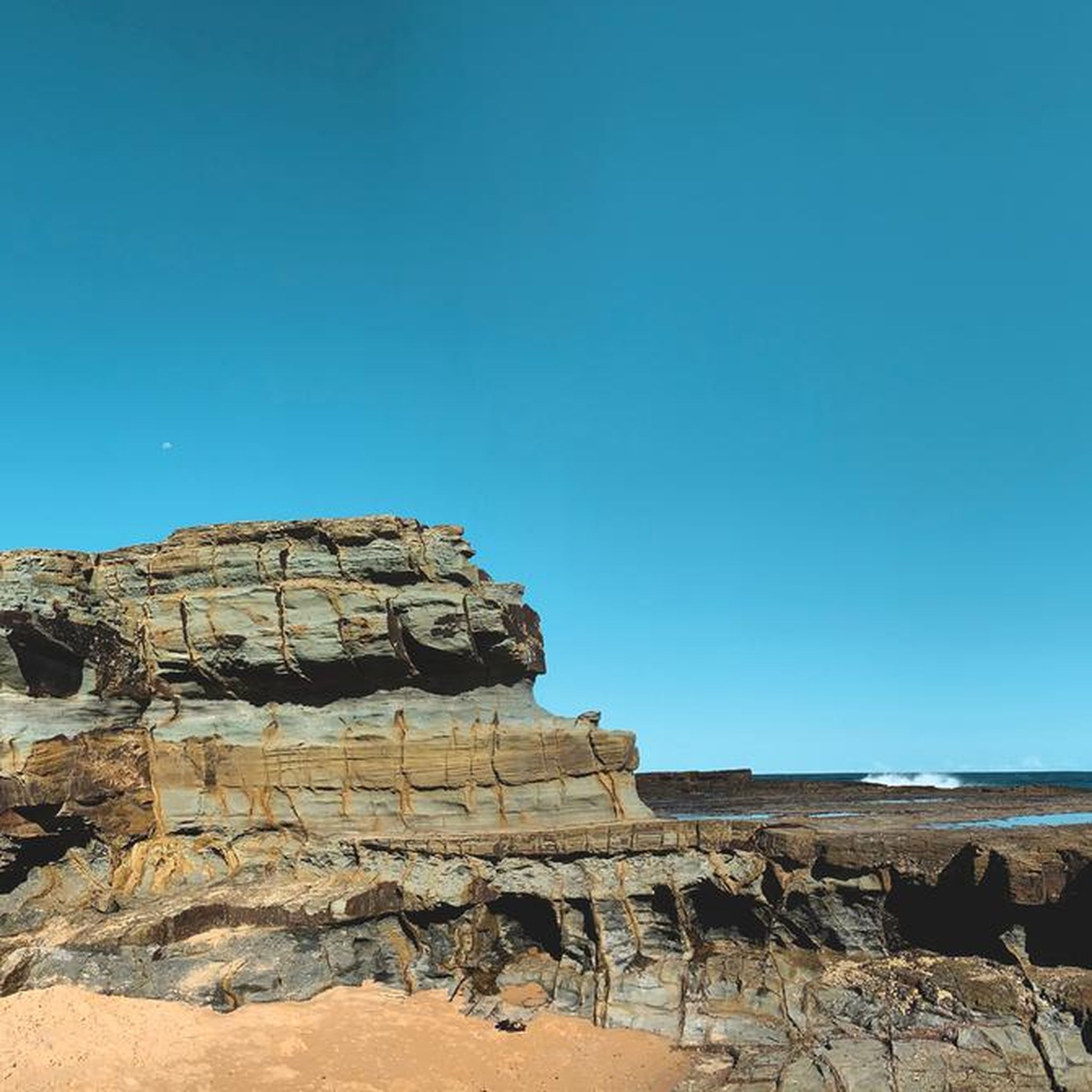
Tips from the Community

Otford Lookout sits high above the southern coastline of Royal National Park, with sweeping views over Bulgo Beach, the Illawarra coastline, and the Pacific Ocean. The adjacent parking lot is also the southern trailhead for the Coast Track and Werrong Beach Track, making it a popular starting point for some of the park’s best coastal walks. Even if you’re not heading out on an adventure, it’s a worthwhile stop to take in the fantastic cliff-top scenery.
0
0

McCauleys Beach is separated from the main stretch of sand by rock platforms and smaller reefs. The beach is known locally as an off-leash dog beach and generally feels quieter than nearby Sandon Point. A coastal path runs above the sand with views north and south along the coastline, while the escarpment rises sharply behind the suburb. Surf conditions can still be rough here, with rips and exposed sections depending on swell
0
0
This lookout rewards you with clear views along the shore, where the Illawarra escarpment runs alongside the ocean in the distance. The viewpoint sits just above the water, with rock platforms and smaller bays breaking up the shoreline. It’s an easy place to stop along the track, with uninterrupted views in both directions.
0
0
Bulli Beach is a long surf beach backed by dunes, open grass reserve, and the escarpment rising behind the coastline. The beach is around 900 metres long and is well known for surfing, with Sandon Point forming its northern headland. A shared walking and cycling path runs beside the sand, linking the northern suburbs along the coast. Conditions can change quickly, with rips and surf depending on swell and tide.
0
0

Uloola Falls Trailhead has a massive car park and a set of stairs leading down to the Uloola Falls Trail, marked with a sign and map.
1
0
Audley Visitor Centre and the surrounding picnic area sit right along the Hacking River in the central valley of Royal National Park. The historic precinct includes open lawns, picnic areas, and access to walking and cycling routes through the park. Set along the river near the Audley weir, it is a popular starting point for exploring the park’s bushland and waterways.
0
0
This Surf Lifesaver Statue commemorates 100 years of surf lifesaving in the city of Wollongong. The North Wollongong Surf Lifesaving Club and Wollongong City Surf Life Saving Club erected this statue to remember the Bathing and Life Saving Club of 1908.
0
0
The Karloo Trackhead begins with some interesting signage and art, and then heads into the bush. This track is very popular and easily accessible, with a few bus stops and the Heathcote Train Station just a few steps away.
0
0
Frequently Asked Questions
How many road cycling routes are available in Garawarra State Conservation Area?
There are 9 road cycling routes available in Garawarra State Conservation Area, offering a range of experiences from moderate to difficult.
What kind of terrain can I expect on road cycling routes in Garawarra State Conservation Area?
You can expect diverse terrain, with most routes featuring mostly well-paved surfaces. Some longer or more challenging segments might include unpaved sections. The routes traverse varied landscapes, including havens of scribbly gum and red bloodwood, patches of subtropical rainforest, and coastal paths with spectacular views of the Illawarra region.
Are there any scenic viewpoints or natural features along the road cycling routes?
Yes, the area is rich in natural beauty. Many routes offer spectacular coastal views, especially those near the Sea Cliff Bridge. You can also find scenic waterfalls, such as those near Kellys Falls picnic area, and ride through diverse forests. For more details on the area's features, you can visit the official Garawarra State Conservation Area page on nsw.gov.au.
What are the typical distances and elevation gains for road cycling routes in this area?
Routes vary significantly. For example, the Otford Lookout – Otford Lookout loop from Stanwell Park is a difficult 65.9 km route with over 1,000 meters of elevation gain. A moderate option like the Sea Cliff Bridge loop from Stanwell Park covers about 28 km with around 447 meters of elevation gain.
What are the difficulty levels of road cycling routes in Garawarra State Conservation Area?
The routes cater to various fitness levels. There are 6 moderate routes and 3 difficult routes. Moderate routes typically require good fitness, while difficult routes demand very good fitness due to significant elevation changes and longer distances.
Can I see wildlife while road cycling in Garawarra State Conservation Area?
Yes, the conservation area is an excellent spot for wildlife observation. Cyclists often have opportunities for birdwatching, with species like satin bowerbirds, honeyeaters, and lyrebirds. You might also spot swamp wallabies and echidnas among the wildflowers, particularly during seasonal blooms.
What do other road cyclists enjoy the most about road cycling in Garawarra State Conservation Area?
The area is highly rated by the komoot community, with an average score of 4.8 stars. Reviewers often praise the diverse landscapes, the challenging yet rewarding climbs, and the spectacular coastal views, especially along routes that include the Sea Cliff Bridge.
Are there any family-friendly or beginner-suitable road cycling routes?
While many routes require good to very good fitness, some segments or shorter loops, such as parts of the Sea Cliff Bridge loop from Stanwell Park, can be suitable for any fitness level. It's advisable to check the route details for distance and elevation to match your family's or your own beginner fitness level.
Are permits required for road cycling in Garawarra State Conservation Area?
Generally, permits are not required for cycling on designated public roads and trails within the Garawarra State Conservation Area. However, it's always a good idea to check the latest information on the official NSW National Parks and Wildlife Service website for any specific regulations or alerts before your visit.
What is the best time of year for road biking in Garawarra State Conservation Area?
Late winter and early spring are particularly beautiful times to visit, as the park comes alive with vibrant blooms of banksias, Christmas bells, and wattles, attracting various bird species. However, the area offers enjoyable cycling conditions throughout much of the year, with coastal breezes providing some relief during warmer months.
Are there circular road cycling routes available?
Yes, many of the road cycling routes in Garawarra State Conservation Area are designed as loops, allowing you to start and finish at the same point. Examples include the Roadbike loop from Otford and the Otford Lookout – Otford Lookout loop from Waterfall.
Is parking available for road cyclists in Garawarra State Conservation Area?
Parking is generally available at key access points and trailheads within or near the Garawarra State Conservation Area, such as Stanwell Park or Otford. It's recommended to check specific starting points of your chosen route for the most convenient parking options.
Most popular routes in Garawarra State Conservation Area

Get inspired with the komoot mobile app


Explore more
Browse the best Road cycling routes in other regions.
