The best road cycling routes in Molonglo River Reserve
4.3
(77)
4,330
riders
150
rides
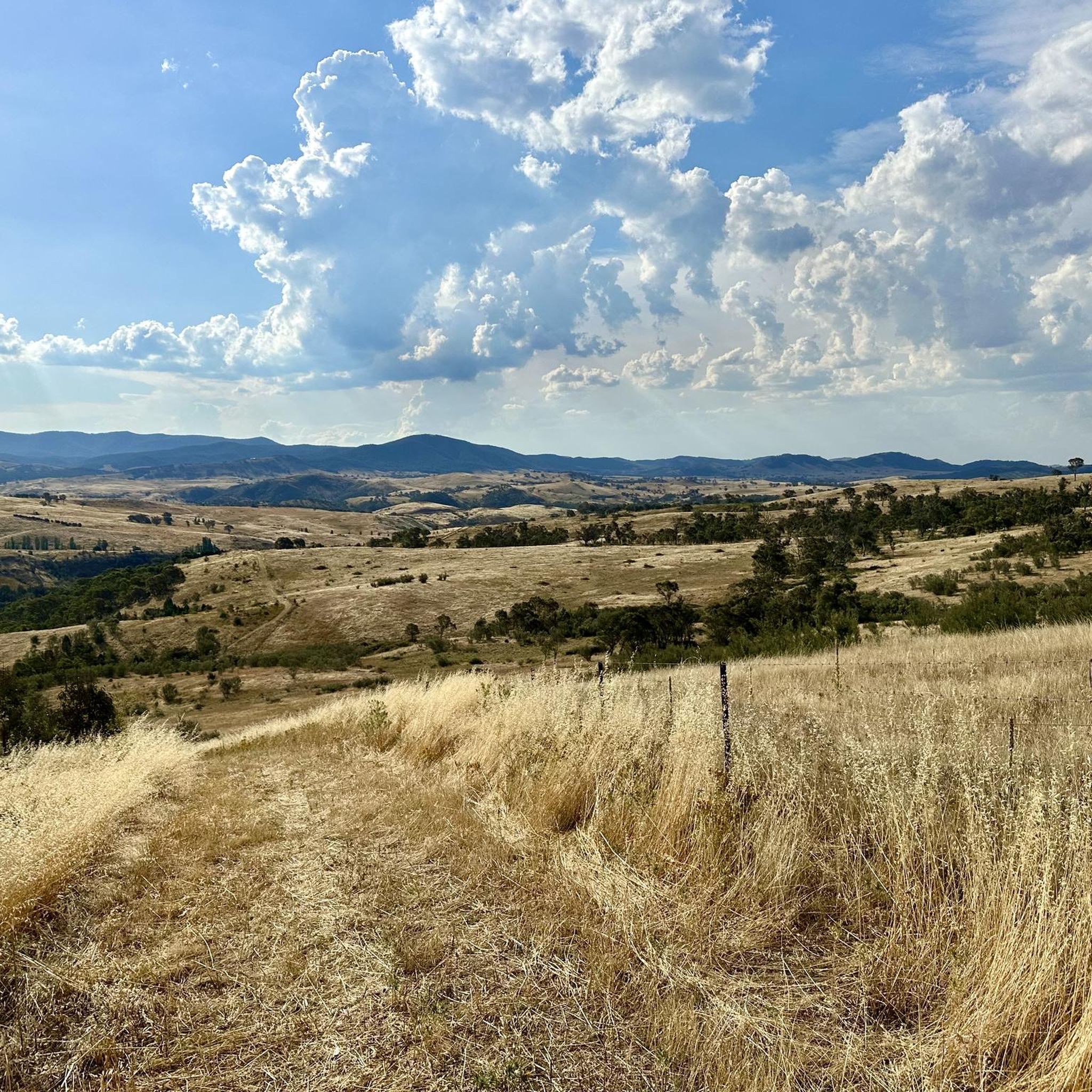
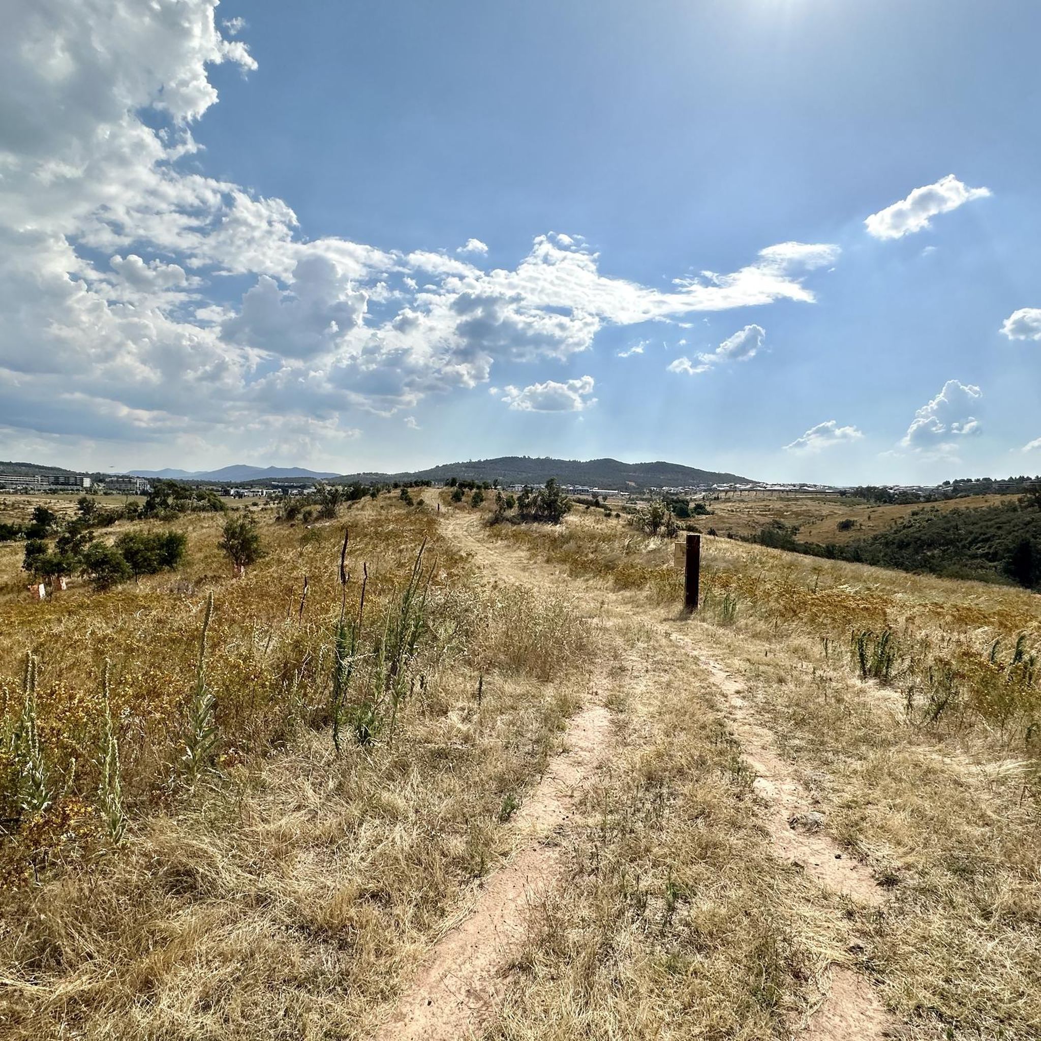
Road cycling in Molonglo River Reserve features routes that traverse river valleys and offer views of the surrounding landscape, including the Molonglo River and Lake Tuggeranong. The terrain includes both flat sections along waterways and gradual ascents towards points like Mount Stromlo. This area provides varied road cycling experiences within the Australian Capital Territory.
Best road cycling routes in Molonglo River Reserve
- The most popular road cycling route is Mount Stromlo Observatory – Mt Stromlo Summit Climb loop from District of Molonglo Valley, a 10.7 miles (17.2 km) trail that takes 1 hour 10 minutes to complete. This route features a steady climb towards the prominent Mount Stromlo Observatory.
- Another top favourite among local road cyclists is View of Telstra Tower – Warrina Inlet Bridge loop from District of Molonglo Valley, an easy 14.9 miles (24.0 km) path. This route offers flat terrain along the river with views of the Telstra Tower.
- Local road cyclists also love the Lake Tuggeranong – Tuggeranong Lookout loop from Curtin, a 35.0 miles (56.3 km) trail leading through varied landscapes, often completed in about 2 hours 28 minutes.
- Road cycling in Molonglo River Reserve is defined by river valleys, rolling hills, and scenic lake views. The network offers options for easy, moderate, and more challenging ability levels.
- The routes in Molonglo River Reserve are highly rated by the komoot community with an average score of 4.4 stars from over 70 reviews. More than 4000 road cyclists have used komoot to explore Molonglo River Reserve's varied terrain.
Last updated: July 5, 2026
36
riders
17.1km
01:08
270m
260m
Moderate road ride. Great for any fitness level. Some segments of this route may be unpaved and difficult to ride.
21
riders
Moderate road ride. Great for any fitness level. Some segments of this route may be unpaved and difficult to ride.

Sign up for free
14
riders
23.8km
01:00
170m
170m
Easy road ride. Great for any fitness level. Mostly well-paved surfaces and easy to ride.
45
riders
Easy road ride. Great for any fitness level. Mostly well-paved surfaces and easy to ride.
43
riders
24.4km
01:23
360m
360m
Moderate road ride. Good fitness required. Mostly well-paved surfaces and easy to ride.
Get access to more routes and recommendations from other explorers.
Sign up for free
Already have an account?
Our route recommendations are based on thousands of hikes, rides, and runs completed by other people on komoot.
Start today with a free account
Your next adventure awaits.
Login or Signup

Tips from the Community

Kurrajong Point is a small lakeside beach and picnic area located at the end of Weston Park Road. It is a popular stop for swimming, paddling, and connects to the loop trail around Weston Park.
0
0
The SIEV X National Memorial commemorates 353 people who died when the SIEV X refugee vessel sank in 2001. The memorial is an art installation with 353 painted timber poles arranged in rows beside the lakeshore.
0
0

Weston Park is a scenic peninsula park with picnic areas, playgrounds, barbecues and a miniature railway, making it a popular family‑friendly recreational spot. It lies between Yarramundi Reach and Tarcoola Reach, with water on three sides, making it an ideal spot for weekend gatherings and lakeside relaxation. The park’s location near the water also makes it a significant venue for rowing events and provides boat access to the lake.
0
0

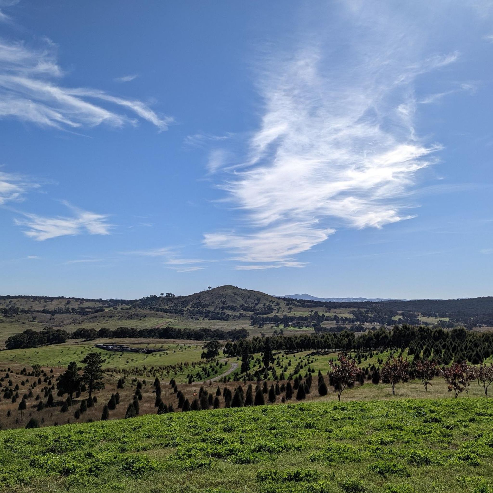
The National Arboretum in Canberra has beautiful cycling tracks that run across the whole place. It’s perfect for mountain or gravel bikes. The natural scenery combined with the zen of flowing tracks and changes in elevation means you could ride forever.
0
0

Great coffee at Wild Honey, cafe in foyer on King Edward Terrace.
0
0
Stop by for a visit at this historical building and sit next to Sir John Gorton who was the 19th prime minister of Australia from 1968 to 1971.
0
0

Get warmed up for a chilly April start and +80km loop to Black Mountain and back. Be able to peel off the layers when its warmer and you are climbing Mt Ainslie and Black Mountain
0
0

Excellent road cycling route to the summit of Mt Stromlo.
0
0
Frequently Asked Questions
How many road cycling routes are available in Molonglo River Reserve?
Molonglo River Reserve offers a wide selection of road cycling routes, with over 150 tours available on komoot. These routes cater to various skill levels, from easy to more challenging rides.
Are there easy road cycling routes suitable for beginners in Molonglo River Reserve?
Yes, Molonglo River Reserve has numerous easy road cycling routes perfect for beginners. For instance, the View of Telstra Tower – Warrina Inlet Bridge loop from District of Molonglo Valley is an easy 14.9-mile (24.0 km) path that offers flat terrain along the river.
What are the typical distances and elevation gains for road cycling routes in the reserve?
Routes in Molonglo River Reserve vary significantly. You can find shorter rides like the Mount Stromlo Observatory – Mt Stromlo Summit Climb loop from District of Molonglo Valley, which is 10.7 miles (17.2 km) with about 265 meters of elevation gain. Longer routes, such as the Lake Tuggeranong – Tuggeranong Lookout loop from Curtin, stretch to 35.0 miles (56.3 km) and feature around 420 meters of climbing.
Are there challenging road cycling routes for experienced riders in Molonglo River Reserve?
While many routes are easy to moderate, some offer more challenge. The terrain includes gradual ascents towards points like Mount Stromlo, providing opportunities for experienced riders to test their endurance. The reserve features 5 difficult routes among its offerings.
When is the best time of year to go road cycling in Molonglo River Reserve?
The Australian Capital Territory generally experiences warm, dry summers and cool winters. Spring (September to November) and Autumn (March to May) are often considered ideal for cycling, offering pleasant temperatures and less extreme weather. Summers can be hot, while winters can be chilly, especially in the mornings.
Are there family-friendly road cycling options in Molonglo River Reserve?
Yes, many of the easier and flatter routes along the river are suitable for families. These paths often provide scenic views and a more relaxed cycling experience, making them enjoyable for all ages. Look for routes marked as 'easy' on komoot.
What kind of views and scenery can I expect along the road cycling routes?
Road cycling in Molonglo River Reserve offers diverse scenery, including river valleys, rolling hills, and scenic lake views. Routes often traverse along the Molonglo River and Lake Tuggeranong, with opportunities to see landmarks like the Telstra Tower and Mount Stromlo Observatory. The Old Parliament House – Australian Parliament House loop from District of Molonglo Valley offers a glimpse of historical sites.
Are there any circular road cycling routes in Molonglo River Reserve?
Yes, many of the road cycling routes in Molonglo River Reserve are designed as loops, allowing you to start and finish at the same point. Examples include the Mount Stromlo Observatory – Mt Stromlo Summit Climb loop from District of Molonglo Valley and the Murrumbidgee River loop from District of Molonglo Valley.
What do other road cyclists enjoy the most about road cycling in Molonglo River Reserve?
The area is highly rated by the komoot community, with an average score of 4.4 stars from over 70 reviews. Reviewers often praise the varied terrain, scenic river and lake views, and the network of routes that cater to different ability levels, from leisurely rides to more challenging climbs.
Where can I find parking when visiting Molonglo River Reserve for road cycling?
While specific parking areas for each route are not detailed here, Molonglo River Reserve and surrounding areas typically offer various public parking options near trailheads and access points. It's advisable to check local signage or use mapping applications to locate convenient parking closest to your chosen starting point.
Is Molonglo River Reserve accessible by public transport for cyclists?
Molonglo River Reserve is located within the Australian Capital Territory, which has a public transport network. While direct access to all trailheads by public transport might vary, many routes start from areas within or near Canberra that are serviced by buses. Cyclists should check local bus routes and schedules for the most convenient access points.
Can I spot wildlife while road cycling in Molonglo River Reserve?
Molonglo River Reserve is known for its natural environment, and it's possible to encounter various wildlife, especially along quieter sections of the routes. Keep an eye out for native birds and other local fauna, particularly during early morning or late afternoon rides.
Most popular routes in Molonglo River Reserve

Get inspired with the komoot mobile app


Explore more
Browse the best Road cycling routes in other regions.
