The best running trails in Rob Roy Nature Reserve
4.7
(3)
289
runners
27
runs
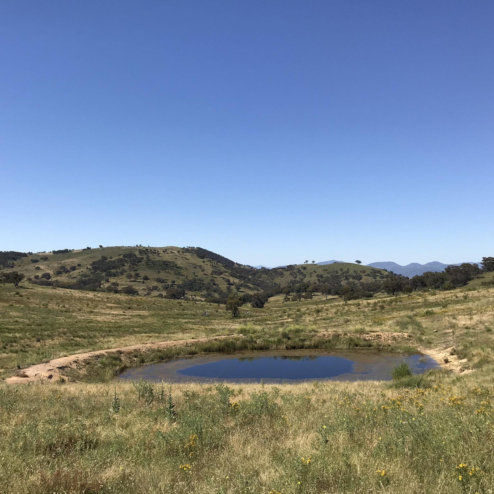
Jogging in Rob Roy Nature Reserve offers diverse landscapes for runners, covering over 2,000 hectares of largely forested terrain. The reserve features a mix of grassy woodlands, open grasslands, and creek lines, providing varied running experiences. Trails range from mostly paved surfaces to fire trails and footpads, with options for different fitness levels. Mount Rob Roy, at 1,094 meters, presents a challenging destination for experienced runners, while other routes offer panoramic views of southern Tuggeranong and the Murrumbidgee River valley.
…Last updated: July 4, 2026
5
runners
12.4km
01:31
490m
490m
Hard run. Very good fitness required. Mostly paved surfaces. Suitable for all skill levels.
44
runners
5.98km
00:37
40m
30m
Moderate run. Good fitness required. Mostly paved surfaces. Suitable for all skill levels.

Sign up for free
5.0
(1)
12
runners
19.9km
02:25
770m
770m
Hard run. Very good fitness required. Mostly paved surfaces. Suitable for all skill levels.
44
runners
5.28km
00:33
30m
30m
Moderate run. Good fitness required. Mostly paved surfaces. Suitable for all skill levels.
3
runners
8.08km
00:57
220m
220m
Moderate run. Good fitness required. Mostly paved surfaces. Suitable for all skill levels.
Get access to more routes and recommendations from other explorers.
Sign up for free
Already have an account?
Our route recommendations are based on thousands of hikes, rides, and runs completed by other people on komoot.
Start today with a free account
Your next adventure awaits.
Login or Signup
Popular around Rob Roy Nature Reserve

Tips from the Community

Frequently Asked Questions
How many running routes are available in Rob Roy Nature Reserve?
Rob Roy Nature Reserve offers a wide selection of running routes, with over 30 trails to choose from. These include 2 easy routes, 19 moderate routes, and 9 difficult routes, catering to various fitness levels and preferences.
What kind of terrain can I expect on the running trails in Rob Roy Nature Reserve?
The reserve features diverse terrain, including grassy woodlands, open grasslands, and creek lines. You'll find a mix of trail types, from mostly paved surfaces suitable for an easier run, to fire trails, footpads, and even some off-track sections. Be prepared for undulating and steep slopes, which can sometimes be rocky or grassy and potentially slippery.
Are there challenging running routes for experienced runners?
Yes, for experienced runners seeking a challenge, Rob Roy Nature Reserve offers several difficult routes. A notable option is the Mount Rob Roy – Rob Roy Nature Reserve loop from Conder, which is nearly 20 km long with significant elevation gain, leading to the reserve's high point at 1,094 meters above sea level.
What are some easier running options in the reserve?
For an easier run, the reserve provides routes with minimal elevation gain and mostly paved surfaces. The Point Hut Pond loop from Banks is a popular moderate option, around 6 km, offering a comfortable experience. Another similar route is the Point Hut Pond loop from Gordon.
Can I find routes with scenic views in Rob Roy Nature Reserve?
Absolutely. Many trails within the reserve offer stunning panoramic views. From a steep management trail, you can enjoy excellent vistas of southern Tuggeranong and the Murrumbidgee River valley. Points like Big Monks also provide scenic views of the surrounding houses and hills. Additionally, some routes lead to the top of Lanyon Falls for spectacular sights.
Are there any historical sites to see while running in the reserve?
Yes, you can encounter the site of the Black and White Mine, a copper mine established in 1910, adding a historical element to your run through the natural surroundings.
Are the running trails in Rob Roy Nature Reserve suitable for dogs?
While Rob Roy Nature Reserve is a natural area, specific regulations regarding dogs on trails can vary. It's generally recommended to check local signage or the official ACT Parks and Conservation Service website for the most current information on dog-friendly areas and leash requirements within the reserve to ensure a safe and compliant experience for you and your pet.
What do other runners enjoy most about jogging in Rob Roy Nature Reserve?
The running routes in Rob Roy Nature Reserve are highly rated by the komoot community, with an average score of 4.7 stars. Runners often praise the diverse landscapes, from grassy woodlands to open grasslands, and the variety of trail options that cater to different fitness levels. The challenging ascents towards Mount Rob Roy and the scenic views are also frequently highlighted.
Are there any loop running trails in Rob Roy Nature Reserve?
Yes, the reserve features several excellent loop trails. Popular options include the Running loop from Banks, a challenging 11.3 km route, and the Mount Rob Roy – Rob Roy Nature Reserve loop from Conder, which is a longer, difficult option. For a more moderate experience, consider the Running loop from Conder.
What wildlife might I encounter while running in Rob Roy Nature Reserve?
Rob Roy Nature Reserve protects important woodland bird habitat and is home to critically endangered Yellow Box–Blakely's Red Gum Grassy Woodland. You might also spot vulnerable species such as the Pink-tailed Worm-lizard and the Glossy Black-cockatoo, making it a great spot for nature observation during your run.
Are there any specific points of interest or landmarks within the reserve?
Beyond Mount Rob Roy itself, another prominent point of interest is Big Monks, a trigonometric survey point at 916 meters above sea level, accessible via trails and offering scenic vistas. Lanyon Falls also provides a beautiful natural landmark within the reserve.
Is there public transport access to Rob Roy Nature Reserve for runners?
The region research does not specifically detail public transport options directly to the trailheads within Rob Roy Nature Reserve. Access is generally from the southern tip of Canberra's suburbs. It's advisable to check local bus routes or consider driving to designated parking areas near the reserve's entry points.
Are there any cafes or facilities near the reserve for after a run?
The provided information focuses on the natural aspects and trails of Rob Roy Nature Reserve itself. While the reserve is located at the southern tip of Canberra's suburbs, specific cafes or facilities immediately adjacent to the trailheads are not detailed. You would likely find amenities in the nearby suburban areas of Tuggeranong.
Most popular routes in Rob Roy Nature Reserve

Get inspired with the komoot mobile app


Explore more
Browse the best Running Trails & Routes in other regions.
