Mulligans Flat Woodland Sanctuary - Goorooyarroo Extension
Mulligans Flat Woodland Sanctuary - Goorooyarroo Extension
The best road cycling routes in Mulligans Flat Woodland Sanctuary - Goorooyarroo Extension
4.6
(46)
3,207
riders
82
rides
Road cycling in Mulligans Flat Woodland Sanctuary - Goorooyarroo Extension offers diverse experiences across a unique ecological landscape. The area features the largest remaining Yellow Box–Blakely's Red Gum Grassy Woodland, providing an open tree canopy and varied understory. Cyclists can find a mix of paved and unpaved management trails, suitable for "country road style cycling" within the predator-proof wildlife enclosure and its surrounds. The terrain includes gentle undulations and connections to broader Canberra cycling networks, with "Old Joe" Hill as…
Last updated: July 16, 2026
5.0
(2)
137
riders
39.4km
01:38
240m
240m
Easy road ride. Great for any fitness level. Mostly well-paved surfaces and easy to ride.
5
riders
48.3km
02:11
310m
310m
Moderate road ride. Good fitness required. Some segments of this route may be unpaved and difficult to ride.

Sign up for free
3
riders
50.9km
02:15
430m
430m
Moderate road ride. Good fitness required. Mostly well-paved surfaces and easy to ride.
5.0
(3)
340
riders
89.8km
04:17
810m
810m
Moderate road ride. Good fitness required. Mostly well-paved surfaces and easy to ride.
63
riders
Moderate road ride. Good fitness required. Some segments of this route may be unpaved and difficult to ride.
Get access to more routes and recommendations from other explorers.
Sign up for free
Already have an account?
Our route recommendations are based on thousands of hikes, rides, and runs completed by other people on komoot.
Start today with a free account
Your next adventure awaits.
Login or Signup
Popular around Mulligans Flat Woodland Sanctuary - Goorooyarroo Extension
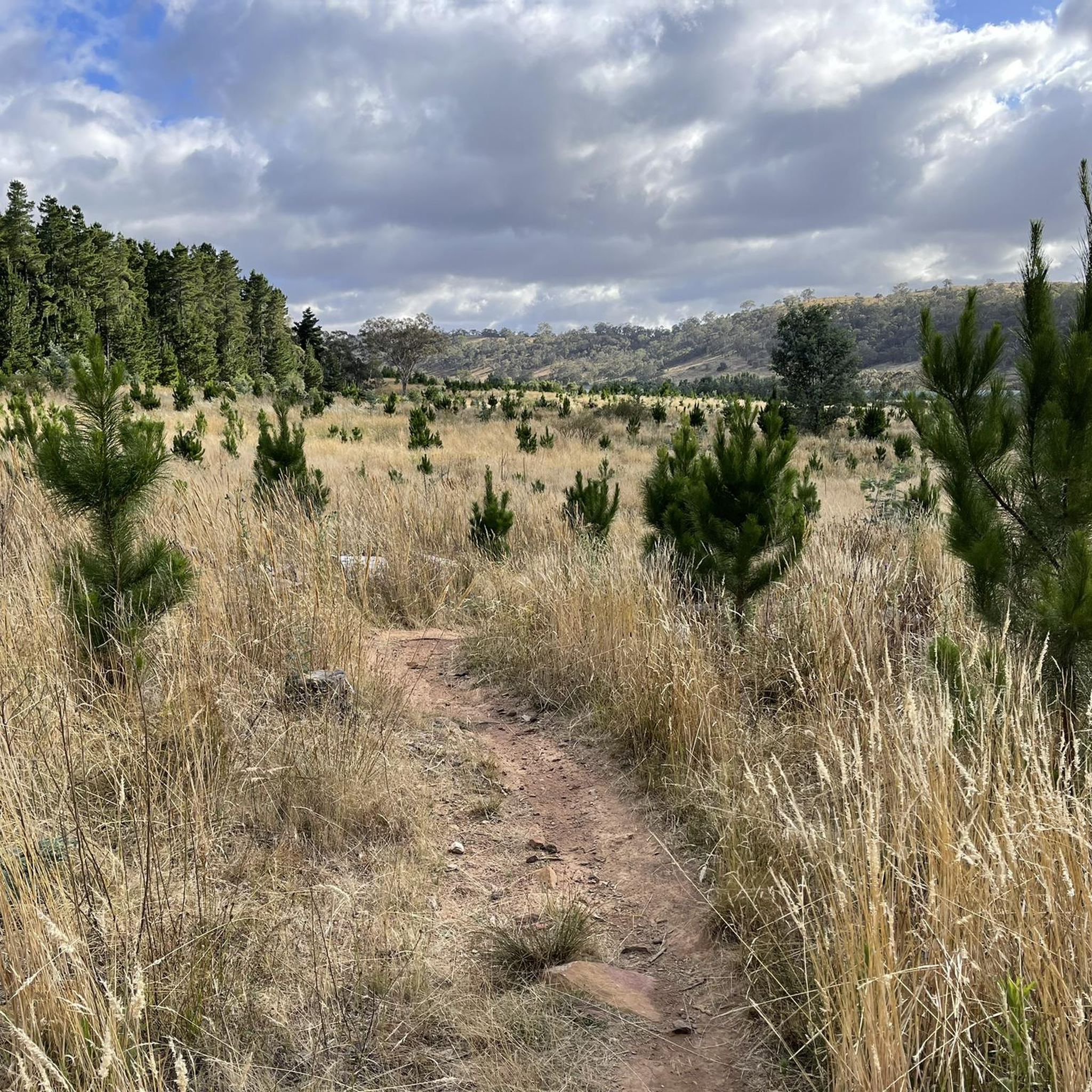
Cycling in Mulligans Flat Woodland Sanctuary - Goorooyarroo Extension
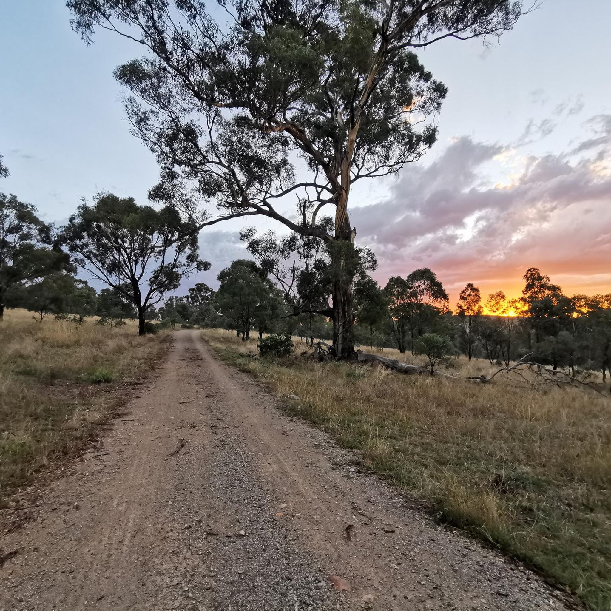
MTB Trails in Mulligans Flat Woodland Sanctuary - Goorooyarroo Extension

Hiking in Mulligans Flat Woodland Sanctuary - Goorooyarroo Extension

Running Trails in Mulligans Flat Woodland Sanctuary - Goorooyarroo Extension
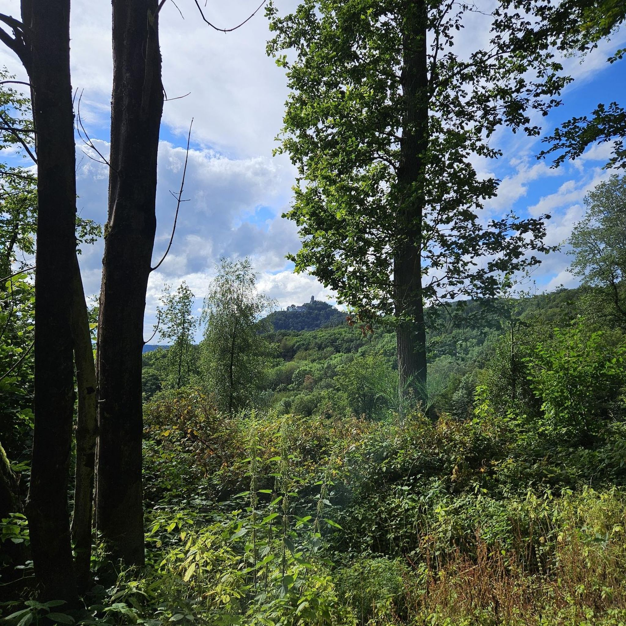
Gravel biking in Mulligans Flat Woodland Sanctuary - Goorooyarroo Extension
Tips from the Community

Scrivener Dam is a concrete gravity dam on the Molonglo River, completed in 1963, and is responsible for creating Lake Burley Griffin as a recreational and ornamental body of water. Named after surveyor Charles Scrivener, the dam is about 33 metres high and 319 metres long, with hydraulically operated fish‑belly flap gates that precisely control the lake levels and provide flood management capability. The dam also carries a roadway and the walking/cycling path, and helps form the backdrop to one of Canberra’s key engineering landmarks.
0
0
The Commonwealth Bridge is the major road crossing over Lake Burley Griffin, carrying six lanes of traffic plus a shared foot and cycle path between Canberra’s city centre and the Parliamentary Zone. It is an integral element of the lake’s heritage landscape, with beautiful views across the Molonglo River. The river runs roughly 115 kilometres from the Great Dividing Range through New South Wales into the Australian Capital Territory, where the Scrivener Dam impounds its waters to form Lake Burley Griffin. Historically rich in native fish and culturally important to local Aboriginal peoples, the river continues beyond Canberra to join the Murrumbidgee River as part of the larger Murray–Darling basin.
0
0
Yarralumla Bay District Park sits on the southern foreshore of Lake Burley Griffin, between Orana Bay and Blue Gum Point, with a sandy beach and designated areas for swimming, paddling, boating, and other water sports. The park includes shaded picnic areas right along the lake’s cycleway/walkway and has launching ramps, piers, and clubhouses for sailing and rowing activities. It is a popular spot for year-round lakeside walking and water‑based recreation.
0
0
Lennox Gardens is a well-manicured lakeside park on the southern shore of Lake Burley Griffin in Canberra’s Parliamentary Zone. The gardens include several international friendship spaces, notably the Beijing Garden and the nearby Canberra Peace Park, which celebrate Canberra’s sister-city relationships. With open lawns, ornamental plantings, and walking paths along the lake, it is a popular place for picnicking and enjoying the beautiful views across the water.
0
0
Canberra Peace Park is a beautiful memorial garden along Lake Burley Griffin in Canberra’s Parliamentary Triangle, near the National Library of Australia. The park was created during the United Nations International Year of Peace in 1986 and formally dedicated in 1990 as a place for reflection and commitment to peace. Its central monument features the word “Peace” inscribed in the official languages of the United Nations and the Ngunnawal language, set within formal gardens overlooking the lake formed by the Molonglo River.
0
0

In 1964, the Molonglo River was dammed, creating this wetland. Today, these 260 hectares of land, forest, and waterways are protected. Within this park are the Kells Swamp Loop, Woodland Walk, and Billabong Walk. Keep your eyes peeled for platypuses, rakali, and micro-bats, and from the bird blind, you may see a few of the 200 bird species that visit this wetland every year.
0
0

The National Arboretum in Canberra has beautiful cycling tracks that run across the whole place. It’s perfect for mountain or gravel bikes. The natural scenery combined with the zen of flowing tracks and change in elevation means you could simply ride forever.
0
0
A lovely spot to stop for a break or picnic and enjoy the beauty of Lake Burley Griffin.
0
0
Frequently Asked Questions
How many road cycling routes are available in Mulligans Flat Woodland Sanctuary - Goorooyarroo Extension?
There are over 85 road cycling routes in the Mulligans Flat Woodland Sanctuary - Goorooyarroo Extension area. These routes cater to various skill levels, with a majority being easy or moderate.
What kind of terrain can I expect when road cycling in this region?
The region offers a mix of paved and unpaved management trails, suitable for 'country road style cycling.' While many routes are predominantly paved, some segments may be unpaved. The terrain generally features gentle undulations within the critically endangered Yellow Box–Blakely's Red Gum Grassy Woodland.
Are there any family-friendly road cycling options in Mulligans Flat Woodland Sanctuary - Goorooyarroo Extension?
Yes, many routes are suitable for families. The area's tranquil environment and gentle undulations make it ideal for less experienced riders. Routes like the Haig Park – Kamberra Function Centre loop from Harrison are rated as easy and navigate through the woodland, perfect for a family outing.
What are some notable landmarks or natural features to look out for while cycling?
Cyclists can enjoy the unique ecological landscape of the critically endangered Yellow Box–Blakely's Red Gum Grassy Woodland. A prominent natural landmark is 'Old Joe' Hill, situated on the ACT/NSW border within the Goorooyarroo Nature Reserve. The area is also a significant predator-proof wildlife enclosure, offering a chance to see reintroduced species.
Is there parking available for cyclists?
While specific parking areas for cyclists are not detailed, the region is well-integrated into Canberra's bike-friendly network. Access points to the sanctuary and its surrounds typically have parking facilities, especially near trailheads or visitor centers like Wildbark.
What is the best time of year to go road cycling in Mulligans Flat Woodland Sanctuary - Goorooyarroo Extension?
The region can be enjoyed year-round, but spring and autumn generally offer the most pleasant cycling conditions with mild temperatures and vibrant natural scenery. Summer can be hot, while winter mornings can be cool but often clear.
Can I connect to other cycling networks from Mulligans Flat Woodland Sanctuary - Goorooyarroo Extension?
Yes, the area allows for 'country road style cycling' and integrates into larger rides that can connect from inner Canberra. The city itself is bike-friendly with designated lanes and an extensive network of paths, facilitating access to and around the sanctuary.
What do other road cyclists enjoy most about this region?
The area is highly rated by the komoot community, with an average score of 4.9 stars from over 40 reviews. Reviewers often praise the tranquil woodland environment, the quiet country roads, and the opportunity to experience a unique ecological landscape.
Are there any longer, more challenging road cycling routes?
Yes, while many routes are easy to moderate, there are longer options for those seeking more of a challenge. For instance, the View of Cotter Dam – Scrivener Dam loop from Gungahlin Place is a moderate 90 km route with significant elevation gain.
Where can I find amenities like cafes or pubs near the cycling routes?
While the sanctuary itself is a natural reserve, the surrounding areas of Canberra offer various amenities. You can find cafes and pubs in nearby suburbs, which can be integrated into your cycling route planning, especially for longer rides connecting from inner Canberra.
Are there any specific routes that offer extended paved surfaces?
Yes, routes like the Majura Parkway Cycle Path – Dairy Flat Bridge loop from Mapleton Avenue offer extended stretches of paved surfaces, connecting various parts of the region and providing a smooth ride.
What is the Wildbark Visitor Centre and is it accessible by bike?
The Wildbark Visitor Centre is located at the sanctuary's edge and serves as a gateway for visitors to learn about conservation. It is accessible, and cyclists can incorporate a visit into their ride to engage with nature and learn about the Mulligans Flat-Goorooyarroo Woodland Experiment.
Are there any routes that offer scenic views or viewpoints?
The region's open tree canopy and varied understory provide scenic views throughout. While specific viewpoints are not highlighted, the gentle undulations and connections to broader Canberra cycling networks, such as the Scrivener Dam – Canberra National Arboretum loop from Mapleton Avenue, offer diverse landscapes and vistas.
Most popular routes in Mulligans Flat Woodland Sanctuary - Goorooyarroo Extension

Get inspired with the komoot mobile app


Explore more
Browse the best Road cycling routes in other regions.
