The 5 Most Amazing Peaks around Rümmelsheim
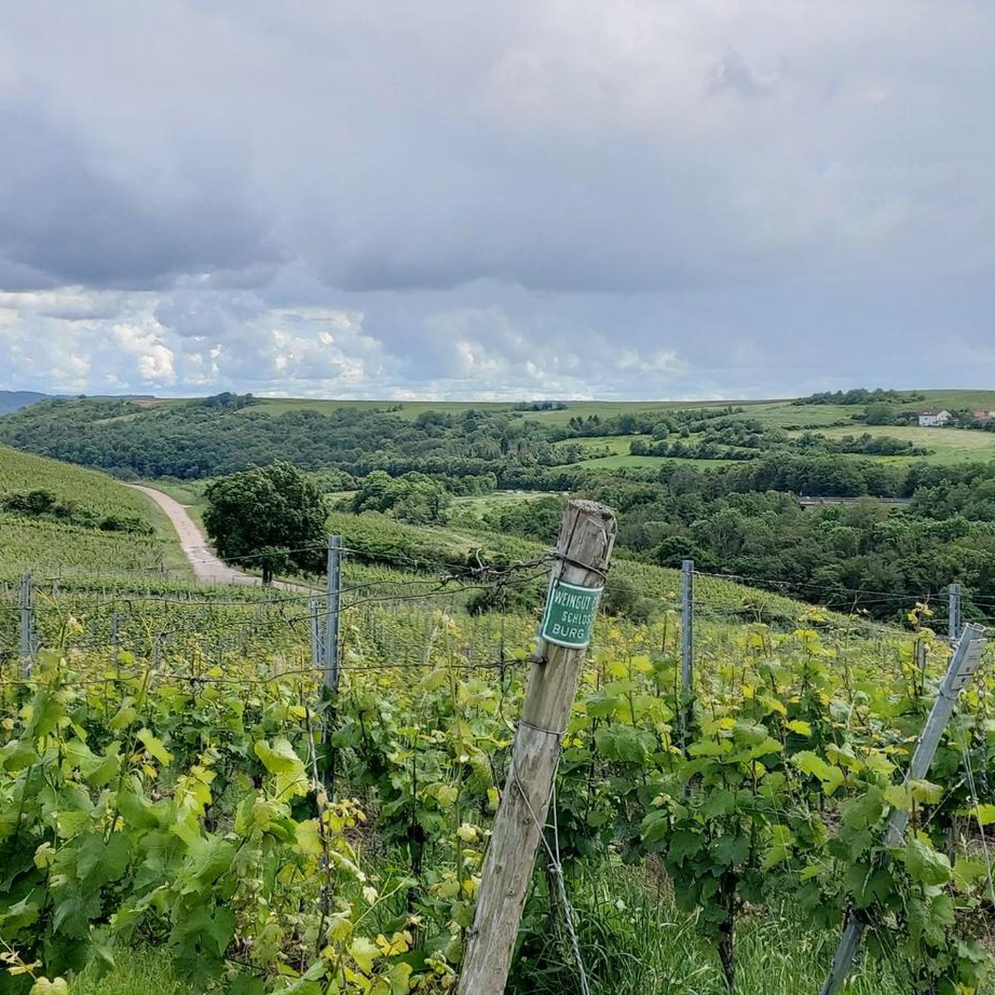
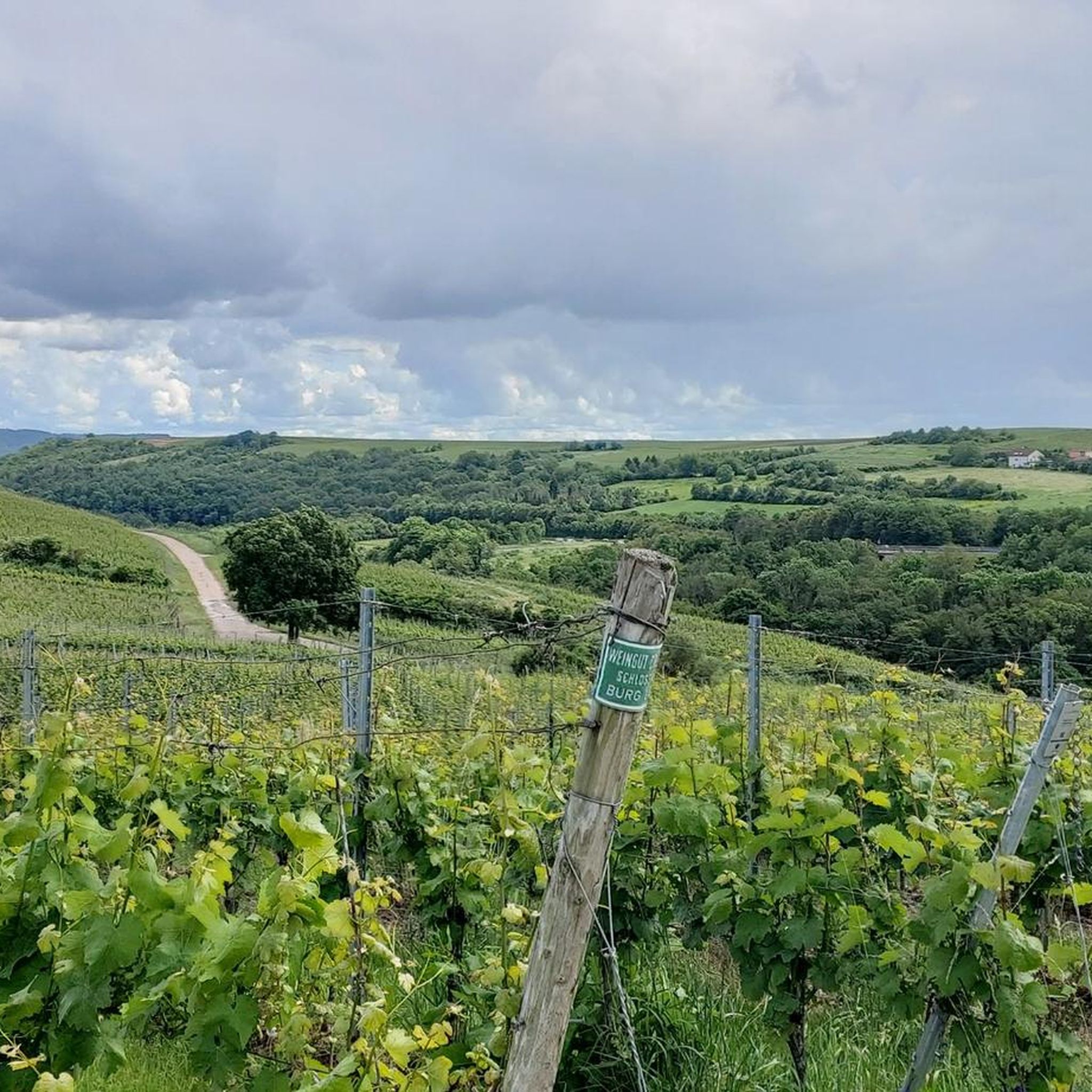
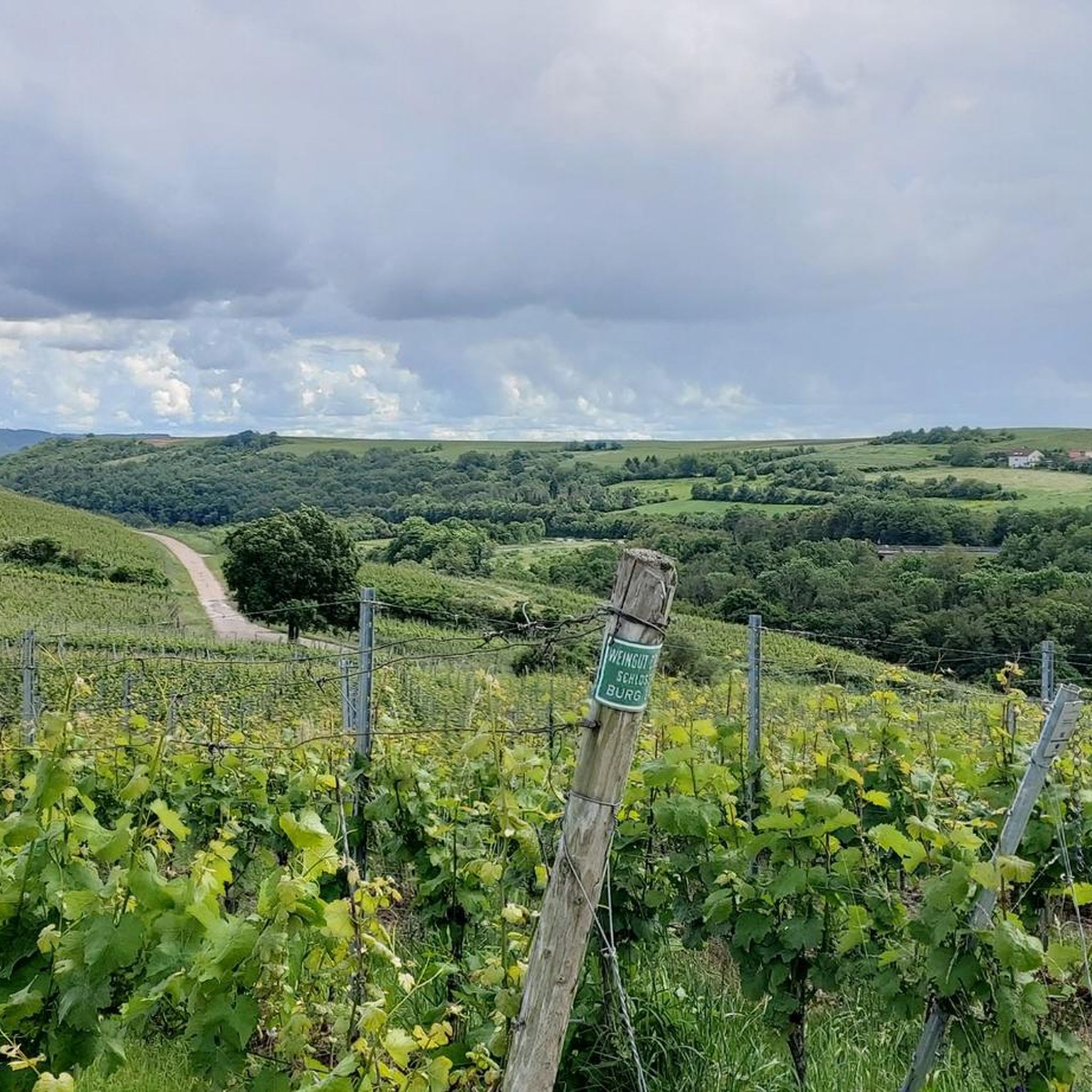
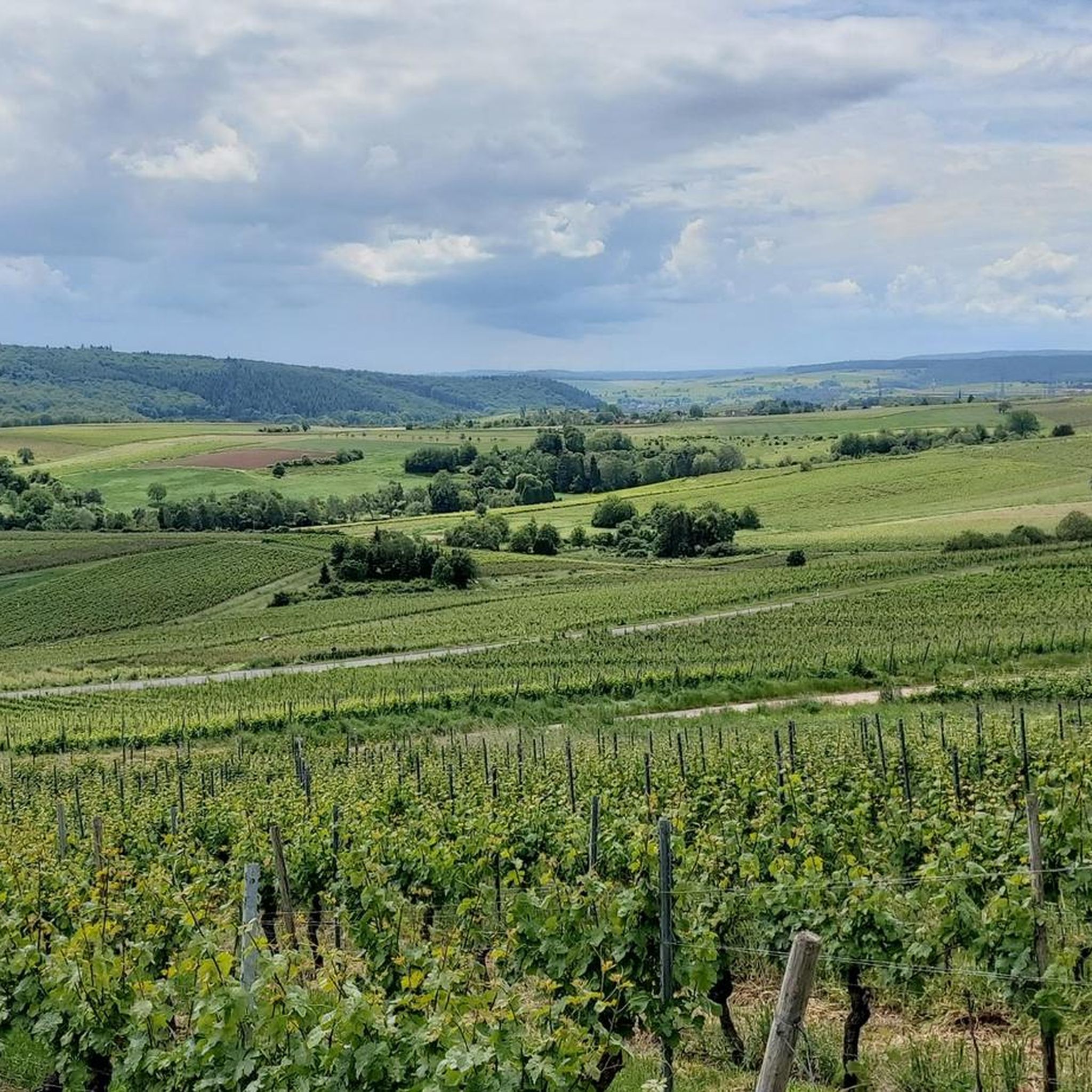
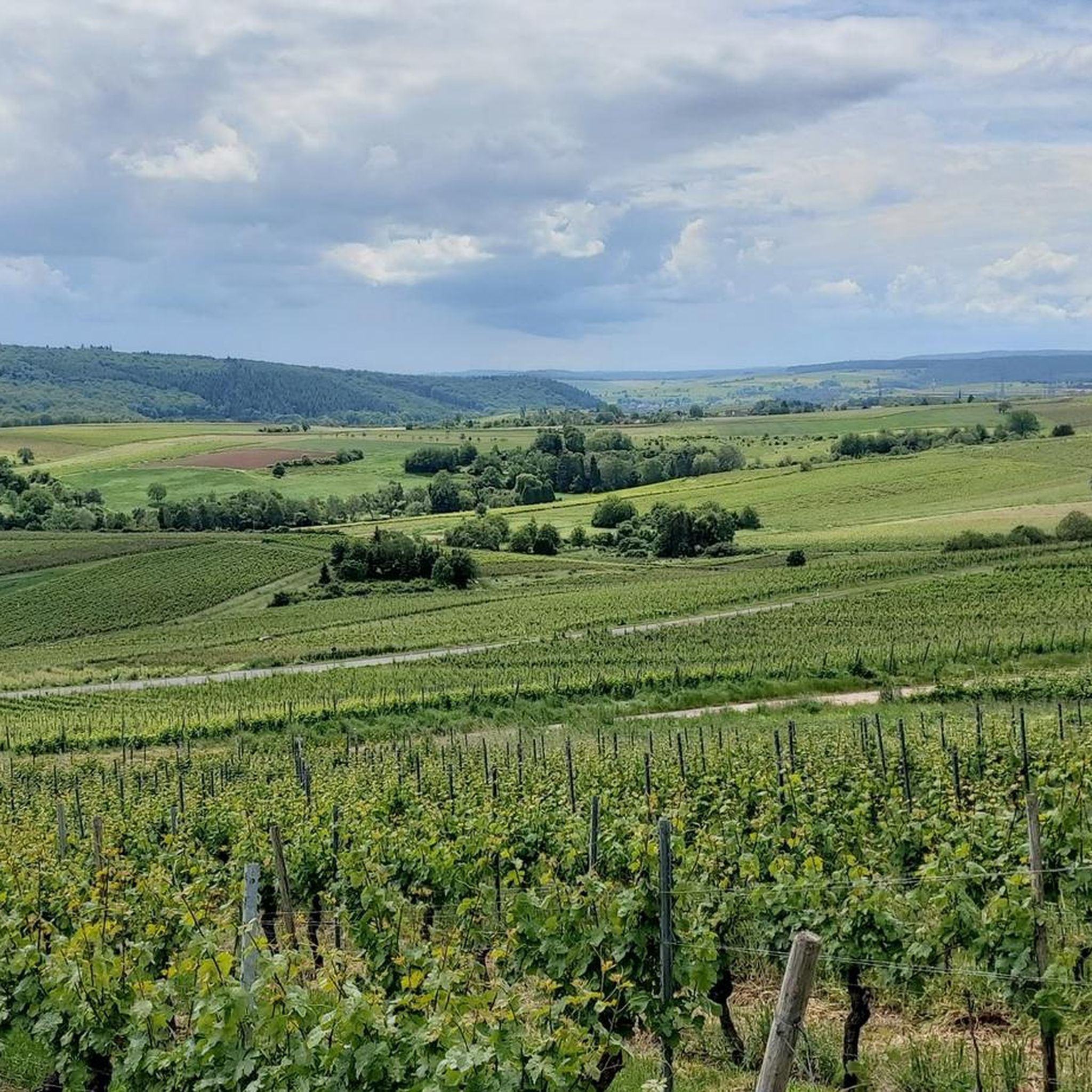
Best mountain peaks around Rümmelsheim are found in a region characterized by a valley setting within a winegrowing area, west of the Nahe river. While Rümmelsheim itself, at approximately 180 meters elevation, does not feature prominent mountain peaks, the broader surroundings offer various natural elevations and elevated viewpoints. The landscape is appreciated for its rugged, hilly terrain, scenic river valleys, and vineyards. These features provide a unique environment for outdoor activities.
Best mountain peaks around Rümmelsheim
- The most popular mountain…
Last updated: October 4, 2026
Salzkopf Tower
Highlight • Viewpoint
Translated by Google •
Tip by

View of the Rhine and Bingen from the Prinzenkopf
Highlight • Viewpoint
Translated by Google •
Tip by

Sign up now to discover places like this
Get recommendations on the best single tracks, peaks, & plenty of other exciting outdoor places.
Franzosenkopf
Highlight • Summit
Translated by Google •
Tip by

Weissenfels Viewpoint
Highlight • Viewpoint
Translated by Google •
Tip by

Bacharacher Kopf
Highlight • Summit
Translated by Google •
Tip by

Sign up for free to discover even more peaks around Rümmelsheim.
Already have an account?
Start today with a free account
Your next adventure awaits.
Tips from the Community

When the visibility is good you really have a great view
1
0

When the visibility is good, you can see as far as the Donnersberg. There are even free binoculars installed here!
2
0

As the name suggests, it was the westernmost location of the Franconians in the past. But riding up it on a mountain bike is an experience. 550 meters of elevation gain in one go from Niederheimbach. It's also ideal for runners for a good workout. And also for hikers for the unique views of and across the Rhine.
0
0

beautiful vantage point for a winter hike in the snow
0
0

If the weather is good, great view
2
0

Bacharacher Kopf is a peak in Rüdesheim am Rhein, Rheingau and has a terrain elevation of 336 meters. Bacharacher Kopf is located near Hinterkirch.
0
0

The Donnersberg is usually clearly visible, it is only 40 km away. But the Odenwald (70 km) often has to be guessed in the haze.
2
0
Frequently Asked Questions
What are the most popular viewpoints and elevated spots around Rümmelsheim?
While Rümmelsheim itself is in a valley, the surrounding region offers several popular elevated viewpoints. Visitors particularly enjoy Weissenfels Viewpoint for its peaceful atmosphere and views towards Bad Kreuznach and Donnersberg. Another favorite is Salzkopf Tower, which, after climbing about 100 steps, provides extensive views of Hunsrück, Taunus, and the Middle Rhine Valley.
Are there any distinct summits or peaks to explore near Rümmelsheim?
Yes, the region features several notable summits. Franzosenkopf is a summit marked by a stone stele, offering views of the Middle Rhine Valley through deforested areas. Another significant elevation is Bacharacher Kopf, which is the highest point in its district at 342 meters, known for its forested top.
What kind of natural landscape can I expect around Rümmelsheim's elevated areas?
The landscape around Rümmelsheim is characterized by rugged, hilly terrain, scenic river valleys, and vineyards. You'll find natural elevations, forested summits, and viewpoints that offer panoramic vistas. The area is appreciated for its natural beauty, including steep cliffs, sharp ridges, and extraordinary rock formations, rather than traditional prominent mountain peaks.
Are there family-friendly elevated spots or viewpoints near Rümmelsheim?
Yes, several spots are suitable for families. Weissenfels Viewpoint is considered family-friendly and offers a great view. Additionally, the View over Guldental from the hilltop cross provides a wonderful vista and is also noted as family-friendly.
What outdoor activities can I do near these elevated areas around Rümmelsheim?
The diverse terrain around Rümmelsheim is ideal for various outdoor activities. You can find numerous routes for cycling, running, and gravel biking. For example, there are cycling routes like the 'View of the Nahe River estuary – Nahe Cycle Path loop' and running trails such as the 'Ruins of Layen Castle – Langenlonsheimer Allee loop'. You can explore more options in the Cycling around Rümmelsheim, Running Trails around Rümmelsheim, and Gravel biking around Rümmelsheim guides.
Are there hiking trails that lead to these viewpoints and summits?
Yes, the elevated areas around Rümmelsheim are well-integrated into the local hiking network. Many trails lead to viewpoints and summits like Salzkopf Tower and Franzosenkopf. These trails often wind through forests and offer varying levels of difficulty, providing opportunities for both leisurely walks and more challenging hikes.
What historical or cultural sites are located on elevated positions in the broader region?
In the broader region, you can find historical sites on elevated positions that offer great views. The Niederwalddenkmal, an imposing monument commemorating German unification, is located above Rüdesheim and provides fantastic vistas. Additionally, the Rossel Ruins, built in 1774 on the highest elevation in the Niederwald, offer wonderful views of the Nahe estuary and the Binger Loch.
What do visitors particularly appreciate about the elevated spots around Rümmelsheim?
Visitors frequently highlight the stunning panoramic views and the tranquility found at these elevated locations. For instance, the Weissenfels Viewpoint is praised for its 'great view and absolute peace.' The opportunity to enjoy nature and take a breather with a wonderful view is a common theme among visitor feedback.
Can I bring my dog on hiking trails to the elevated areas?
Generally, many hiking trails in the natural areas around Rümmelsheim are dog-friendly. However, it's always advisable to check local regulations or specific trail information for any restrictions, especially in nature reserves or protected areas. Keeping your dog on a leash is usually recommended for safety and to protect wildlife.
What is the highest point in the immediate vicinity of Rümmelsheim?
While Rümmelsheim itself is at an elevation of approximately 180 meters, the highest point in the district is Bacharacher Kopf, which reaches 342 meters. The Salzkopf Tower is located on the highest point in the Bingen Forest, offering extensive views from its viewing platform.
Are there any cafes or restaurants near the hiking trails or viewpoints?
The region around Rümmelsheim, being a winegrowing area, often features 'Straußwirtschaften' (seasonal wine taverns) and local restaurants in nearby villages. While direct cafes on every trail might be rare, you can usually find amenities in the towns and villages surrounding the hiking areas, such as Rümmelsheim itself or other communities in the Trollbach valley and along the Nahe river.
What is the best time of year to visit the elevated areas around Rümmelsheim?
The best time to visit depends on your preferred activity. Spring and autumn offer pleasant temperatures for hiking and cycling, with blooming vineyards in spring and vibrant foliage in autumn. Summer is also popular, though it can be warmer. Winter can provide a different, quieter experience, especially if there's snow, but some trails might be less accessible.
Most popular routes around Rümmelsheim
Most popular attractions around Rümmelsheim

Get inspired with the komoot mobile app


Explore more
See even more amazing summits around Rümmelsheim with these guides:
