The 13 Most Amazing Peaks around Warmsroth
Best mountain peaks around Warmsroth are found in the broader Hunsrück region of Rhineland-Palatinate, Germany. While Warmsroth itself, situated at an elevation of approximately 328 to 335 meters, does not feature prominent mountain peaks, the surrounding area offers several notable summits and viewpoints. The municipality is characterized by its forested landscape, providing a natural setting for outdoor activities. This guide focuses on the significant peaks and elevated points accessible from Warmsroth.
Best mountain peaks around Warmsroth
- The most popular mountain…
Last updated: June 24, 2026
Salzkopf Tower
Highlight • Viewpoint
Translated by Google •
Tip by

Franzosenkopf
Highlight • Summit
Translated by Google •
Tip by

Sign up now to discover places like this
Get recommendations on the best single tracks, peaks, & plenty of other exciting outdoor places.
Sign up for free
Schanzerkopf
Highlight • Summit
Translated by Google •
Tip by

Ohligsberg shelter with views over the Rhine Valley
Highlight • Mountain Hut
The view to the east of the …
Translated by Google •
Tip by
Weissenfels Viewpoint
Highlight • Viewpoint
Translated by Google •
Tip by

Sign up for free to discover even more peaks around Warmsroth.
Sign up for free
Already have an account?
Start today with a free account
Your next adventure awaits.
Login or Signup

Tips from the Community


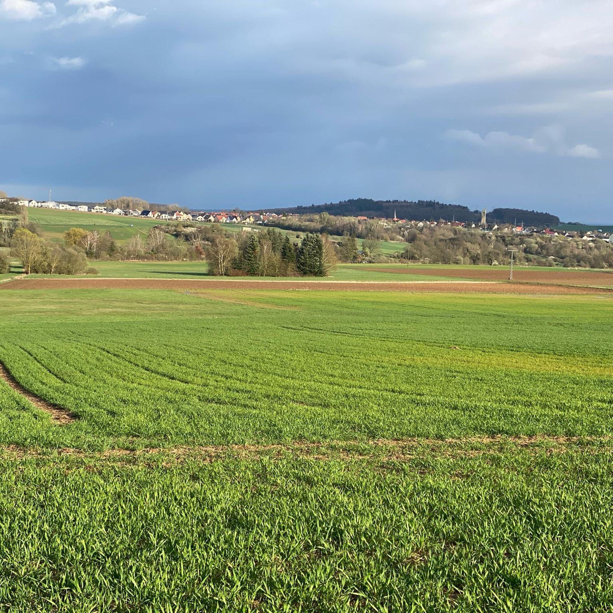
When the visibility is good you really have a great view
1
0

When the visibility is good, you can see as far as the Donnersberg. There are even free binoculars installed here!
2
0


As the name suggests, it was the westernmost location of the Franconians in the past. But riding up it on a mountain bike is an experience. 550 meters of elevation gain in one go from Niederheimbach. It's also ideal for runners for a good workout. And also for hikers for the unique views of and across the Rhine.
0
0

beautiful vantage point for a winter hike in the snow
0
0
Frequently Asked Questions
What are some of the most popular mountain peaks and viewpoints around Warmsroth?
While Warmsroth itself is not known for prominent peaks, the surrounding Hunsrück region offers several notable spots. Among the most popular are the Hochsteinchen lookout tower, which provides extensive views over the Hunsrück, Middle Rhine Valley, and Taunus. Another favorite is Weissenfels Viewpoint, offering scenic vistas towards Bad Kreuznach and Donnersberg. Visitors also appreciate the Ohligsberg shelter with views over the Rhine Valley, a great spot for a break with an unobstructed view of the Binger Forest and Middle Rhine Valley.
Are there hiking trails near the mountain peaks around Warmsroth?
Yes, the area around Warmsroth, particularly in the Binger Forest and Hunsrück, features numerous hiking trails. You can find a variety of routes, from easy to moderate, such as the 'Stromburg Castle – Stromberg Gorge loop' or the 'Wooden marble run – Bridge Over the Kreuzbach loop'. For more options, explore the hiking guide for Warmsroth.
What is the difficulty level of trails leading to these peaks and viewpoints?
Many of the trails leading to the peaks and viewpoints around Warmsroth are considered intermediate. For example, the path to Hochsteinchen lookout tower involves climbing a steel observation tower, while the Salzkopf Tower requires climbing about 100 steps for its panoramic views. There are also easier routes available, and some more challenging ones, depending on the specific trail you choose.
Are there family-friendly mountain peaks or viewpoints around Warmsroth?
Yes, the Weissenfels Viewpoint is categorized as family-friendly. It's a great place to take a break and enjoy the wonderful view, featuring an old oak tree nearby. Many of the shorter, less strenuous trails in the surrounding forests can also be suitable for families.
What other outdoor activities can I do near the mountain peaks around Warmsroth?
Beyond hiking, the region offers excellent opportunities for cycling and gravel biking. You can find various routes, including moderate to difficult cycling tours like the 'View of the Nahe River estuary – Nahe Cycle Path loop' or gravel biking adventures such as the 'Belle Cross – Mini Flowtrail S1 Lalo Forest loop'. Detailed guides are available for cycling and gravel biking around Warmsroth.
What kind of views can I expect from the mountain peaks in this region?
The peaks and viewpoints around Warmsroth offer diverse and expansive views. From the Hochsteinchen lookout tower, you can see the Hunsrück, the Middle Rhine Valley, and even into the Taunus. The Ohligsberg shelter provides an unobstructed and picturesque view to the east of the Binger Forest and the Middle Rhine Valley. Even from Franzosenkopf, deforested parcels offer glimpses of the Middle Rhine Valley.
Are there any historical or cultural sites associated with these peaks?
While the peaks themselves are primarily natural features, some, like the Hochsteinchen lookout tower, feature historical structures. The steel observation tower on Hochsteinchen was built in 1893. The broader Hunsrück region has a rich history, and exploring nearby towns and villages can reveal more cultural insights.
What do visitors enjoy most about the mountain peaks around Warmsroth?
Visitors frequently highlight the stunning panoramic views and the tranquility of nature. Many appreciate the opportunity to take a break and enjoy the peace, especially at spots like Weissenfels Viewpoint. The well-maintained trails and the chance to explore the forested landscape are also highly valued.
Is there parking available for hiking trails near the peaks?
While specific parking information for each highlight isn't detailed, hiking areas in Germany typically have designated parking spots at trailheads or near popular attractions. It is advisable to check local signage or online maps for parking options when planning your visit to specific trail starting points.
Can I find shelters or resting spots along the trails?
Yes, several spots offer shelters or benches for resting. The Ohligsberg shelter with views over the Rhine Valley is a prime example, providing a place for a break with scenic views. The Weissenfels Viewpoint also features a bench, perfect for a breather.
What is the best time of year to hike the mountain peaks around Warmsroth?
The region is beautiful throughout the year. Spring and autumn offer pleasant temperatures and vibrant colors, making them ideal for hiking. Summer is also popular, though it can be warmer. Winter hiking is possible, but conditions can vary, so it's always best to check local weather forecasts and trail conditions before heading out.
Are there any unique natural features or wildlife to look out for?
The area around Warmsroth is characterized by its forested landscape, part of the Hunsrück region. This natural environment provides opportunities for wildlife spotting, though specific species are not detailed. The Weissenfels Viewpoint is notable for a huge old oak tree nearby, adding to the natural charm.
Most popular routes around Warmsroth
Most popular attractions around Warmsroth

Get inspired with the komoot mobile app


Explore more
See even more amazing summits around Warmsroth with these guides:
