The best walks and hikes in Tabarcia
4.8
(8)
48
hikers
4
hikes
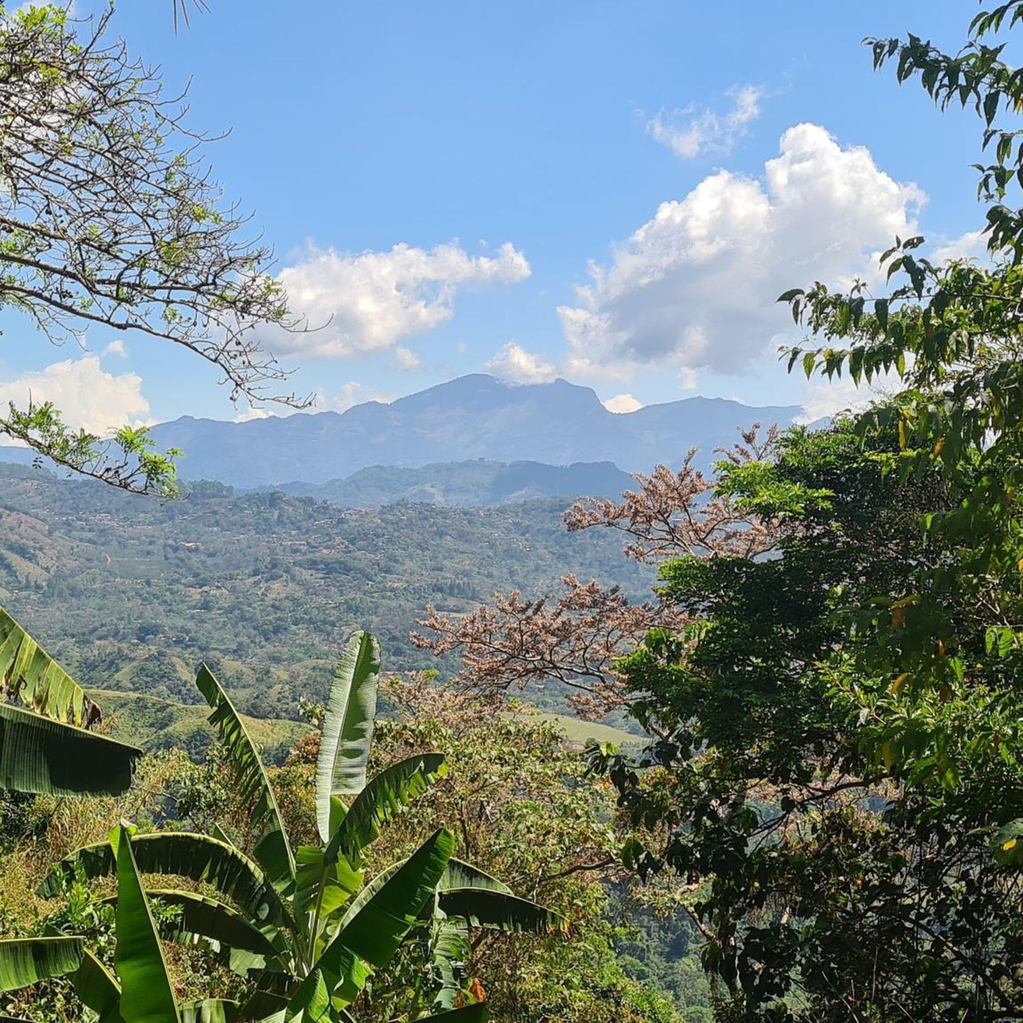
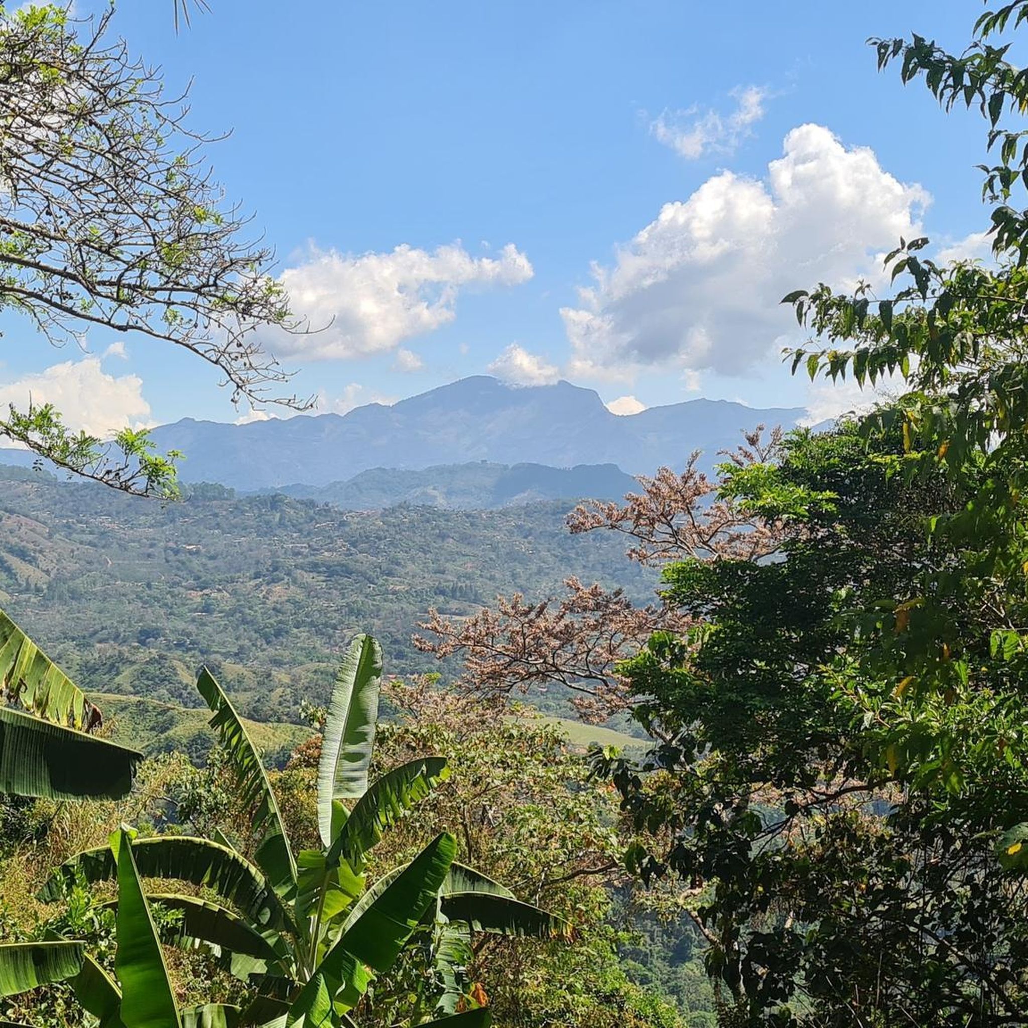
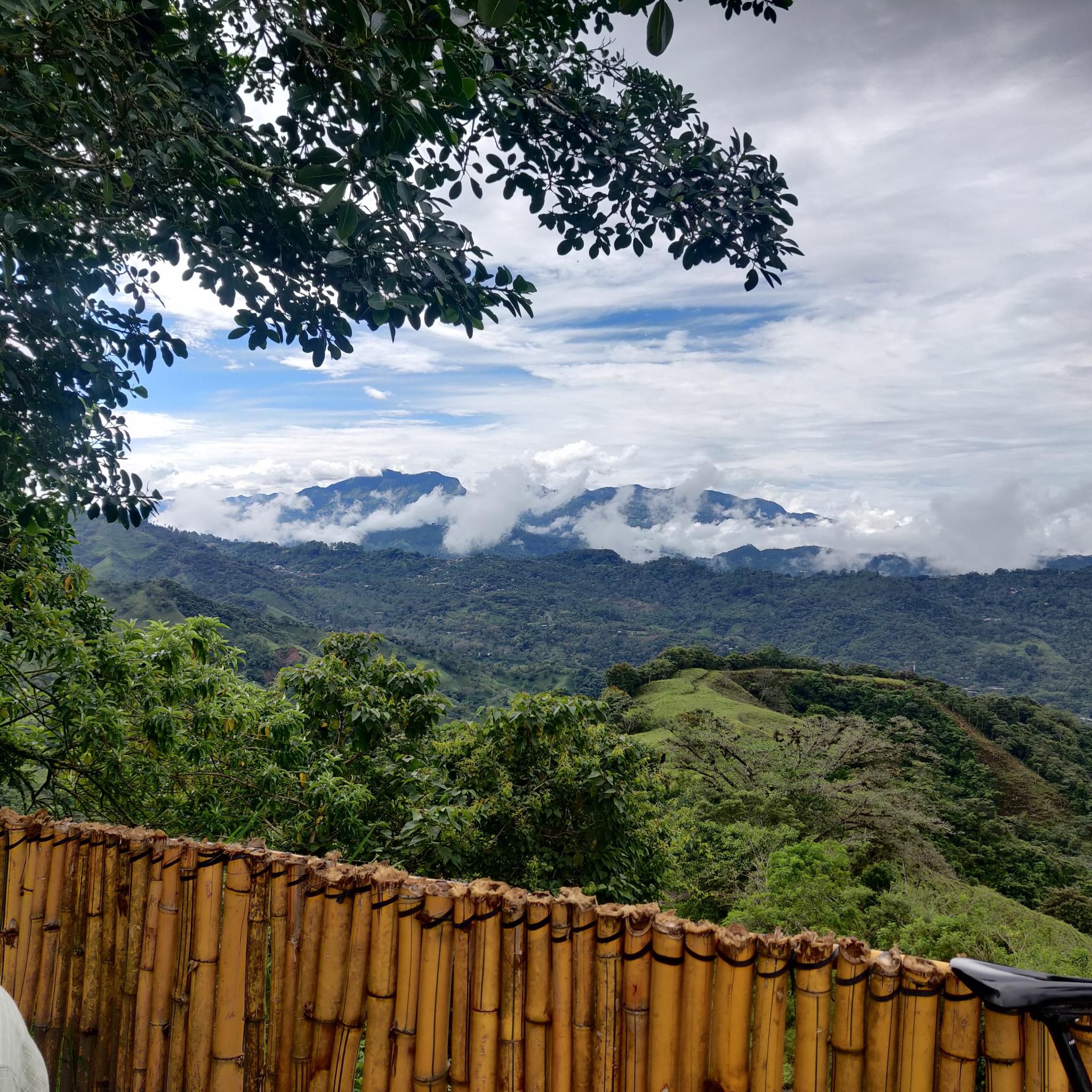
Hiking in Tabarcia offers trails through varied terrain, characterized by significant elevation changes. The region features routes that ascend to summits, providing views of the surrounding landscape. Hikers can expect paths that navigate through natural areas with diverse flora and fauna.
Best hiking trails in Tabarcia
- The most popular hiking route is Cerro Piedra Blancas Summit – Pico Blanco Rock loop from Alajuelita, a 9.9 miles (15.9 km) trail that takes 6 hours 31 minutes to complete. This difficult…
Last updated: July 1, 2026
4.7
(3)
31
hikers
15.9km
06:31
1,240m
1,240m
Hard hike. Very good fitness required. Easily-accessible paths. Suitable for all skill levels.
4.5
(2)
9
hikers
11.2km
03:27
380m
380m
Moderate hike. Good fitness required. Easily-accessible paths. Suitable for all skill levels.

Sign up for free
5.0
(2)
6
hikers
9.93km
03:50
710m
710m
Moderate hike. Good fitness required. Easily-accessible paths. Suitable for all skill levels.
5.0
(1)
2
hikers
14.2km
05:35
1,030m
1,030m
Hard hike. Very good fitness required. Easily-accessible paths. Suitable for all skill levels.
Our route recommendations are based on thousands of hikes, rides, and runs completed by other people on komoot.
Start today with a free account
Your next adventure awaits.
Login or Signup
Tips from the Community

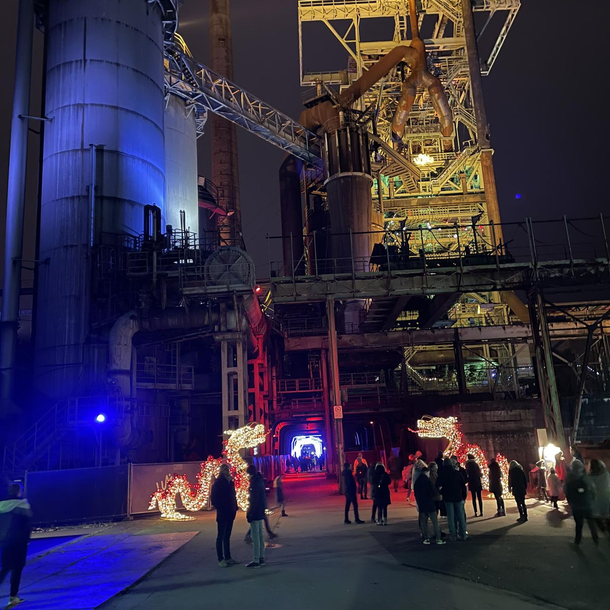
Another highlight of the Mantra Trail. The “I” is missing so please put it in the right place.😜
0
0


Ascent with intermediate / high difficulty.
0
0
Frequently Asked Questions
What kind of terrain can I expect when hiking in Tabarcia?
Hiking in Tabarcia features varied terrain with significant elevation changes. Trails often ascend to summits, providing panoramic views of the surrounding landscape. You'll navigate through natural areas rich in diverse flora and fauna, characteristic of the region's mountainous environment.
Are there any easy hiking trails in Tabarcia for beginners or casual walkers?
The hiking trails in Tabarcia are generally categorized as moderate to difficult. There are no easy routes listed in this guide. Hikers should be prepared for ascents and descents, as even moderate trails like the Costa Rica Sign – The Hand of Mantra loop from Santa Ana involve a mix of challenging sections.
What are the typical durations for hikes in Tabarcia?
Hike durations in Tabarcia vary depending on the route and your pace. For example, the moderate Hiking loop from Colón typically takes around 3 hours 50 minutes to complete. More challenging routes, such as the Cerro Piedra Blancas Summit – Pico Blanco Rock loop from Alajuelita, can take over 6 hours.
Are there any circular hiking routes in Tabarcia?
Yes, several routes in Tabarcia are circular, offering a convenient way to explore the area without retracing your steps. Examples include the Cerro Piedra Blancas Summit – Pico Blanco Rock loop from Alajuelita, the Costa Rica Sign – The Hand of Mantra loop from Santa Ana, and the Hiking loop from Colón.
What kind of landmarks or viewpoints can I expect to see on Tabarcia's hiking trails?
Tabarcia's trails offer numerous viewpoints, often providing panoramic vistas of the Central Valley and surrounding landscapes. Notable landmarks and points of interest in the wider Tabarcia area include the historic Ruins of Santiago Apóstol Church, Puriscal, and The Cross of Escazú. You can also find specific viewpoints like the View of Colón from Senderos Colón.
What do other hikers say about the trails in Tabarcia?
The hiking routes in Tabarcia are highly regarded by the komoot community, holding an average score of 4.8 stars from 5 reviews. Hikers frequently praise the challenging ascents, diverse natural areas, and the rewarding panoramic viewpoints encountered along the trails.
Are there any specific parking areas for hikers in Tabarcia?
Yes, for some popular trailheads, dedicated parking is available. For instance, the Senderos Colón Entrance and Car Park provides a convenient starting point for hikes in that area.
Are the hiking trails in Tabarcia suitable for families with children?
Given the significant elevation changes and the categorization of trails as moderate to difficult, many routes in Tabarcia may be challenging for younger children or families seeking very easy walks. It's recommended to assess the specific route's difficulty and length, such as the Costa Rica Sign – The Hand of Mantra loop from Santa Ana, to determine suitability for your family's fitness level.
What is the best time of year to go hiking in Tabarcia?
While specific seasonal details are not provided, Tabarcia's climate, typical of Costa Rica's mountainous regions, suggests that the dry season (generally December to April) might offer more favorable conditions with less rain and clearer views. However, always check local weather forecasts before heading out, as conditions can change rapidly in elevated areas.
How many hiking trails are available in Tabarcia?
This guide features 4 distinct hiking trails in Tabarcia, offering a range of moderate to difficult options for exploring the region's diverse landscapes and challenging ascents.
Can I bring my dog on the hiking trails in Tabarcia?
While many natural areas in Costa Rica are dog-friendly, specific regulations can vary by trail or protected area. It's advisable to check local signage or contact park authorities for the specific trails you plan to hike to confirm if dogs are permitted and if any leash requirements apply.
Most popular attractions in Tabarcia

Get inspired with the komoot mobile app


Explore more
Browse the best Hikes in other regions.
