The best running trails in Jaris
5.0
(1)
37
runners
5
runs
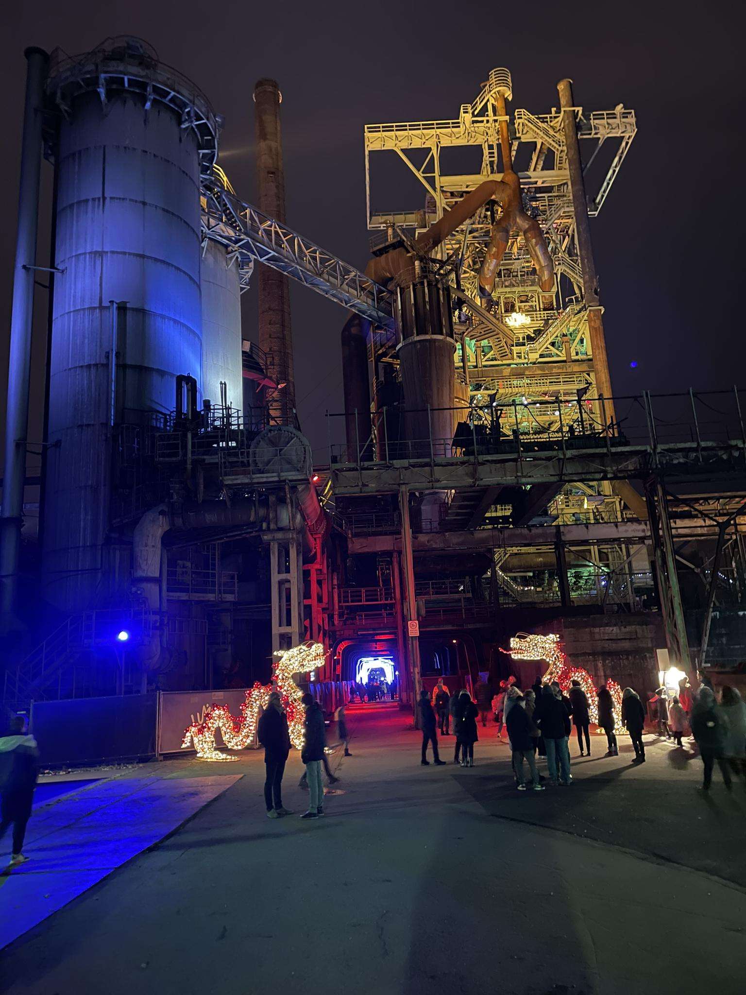
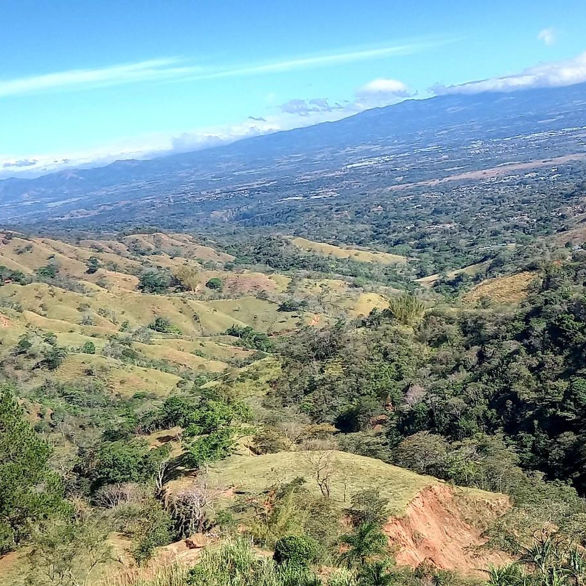
Jogging routes in Jaris traverse a landscape characterized by significant elevation changes, with many trails featuring substantial climbs. The region includes areas with hills and open spaces, offering varied terrain for runners. These paths often lead through hilly environments, providing both physical challenge and scenic views.
Best jogging routes in Jaris
- The most popular jogging route is Cerro Pacacua – Parque Eólico Valle Central loop from Colón, a 12.8 miles (20.7 km) trail that takes 2 hours 53 minutes…
Last updated: July 1, 2026
15
runners
17.6km
02:08
620m
620m
Hard run. Very good fitness required. Mostly paved surfaces. Suitable for all skill levels.
9
runners
11.3km
01:50
820m
820m
Hard run. Very good fitness required. Mostly paved surfaces. Suitable for all skill levels.

Sign up for free
6
runners
20.7km
02:53
1,020m
1,020m
Hard run. Very good fitness required. Mostly paved surfaces. Suitable for all skill levels.
5.0
(1)
4
runners
10.8km
01:19
210m
210m
Moderate run. Good fitness required. Mostly paved surfaces. Suitable for all skill levels.
3
runners
11.2km
01:47
800m
800m
Hard run. Very good fitness required. Mostly paved surfaces. Suitable for all skill levels.
Our route recommendations are based on thousands of hikes, rides, and runs completed by other people on komoot.
Start today with a free account
Your next adventure awaits.
Login or Signup
Popular around Jaris

Frequently Asked Questions
What kind of terrain can I expect on running trails in Jaris?
Jogging routes in Jaris are characterized by significant elevation changes and hilly terrain. Many trails feature substantial climbs and open landscapes, providing a challenging yet scenic experience for runners.
Are there any easy running routes for beginners in Jaris?
Jaris is known for its challenging terrain. While there are no routes classified as 'easy' in our guide, you can find two moderate running routes. These include the Running loop from La Guácima Abajo and the Running loop from Brasil, which offer less extreme elevation changes compared to the difficult trails.
Where can I find parking for the jogging routes in Jaris?
For routes starting near Colón, you can find dedicated parking at the Senderos Colón Entrance and Car Park. It's a convenient starting point for several popular trails in the area.
Are the running trails in Jaris typically circular routes?
Yes, many of the popular running trails in Jaris are circular routes, also known as loops. This allows you to start and finish at the same point, making logistics easier. Examples include the Cerro Pacacua – Parque Eólico Valle Central loop from Colón and the Cerro Pacacua loop from Colón.
What are some notable landmarks or attractions I might see while jogging in Jaris?
While running in Jaris, you might encounter several interesting points. Depending on your route, you could be near the Virilla River Canyon or the Picagres River. The region also features the Ruins of Santiago Apóstol Church, Puriscal, offering a glimpse into local history.
How long do the running routes in Jaris typically take to complete?
The duration of running routes in Jaris varies significantly based on distance and difficulty. For instance, the Running loop from Colón, which is 10.9 miles (17.6 km), typically takes around 2 hours 8 minutes. Longer, more challenging routes like the Cerro Pacacua – Parque Eólico Valle Central loop from Colón (12.8 miles / 20.7 km) can take nearly 3 hours.
What do other runners say about the trails in Jaris?
The running trails in Jaris are highly regarded by the komoot community, holding an average rating of 5.0 stars from over 1 review. Runners frequently praise the challenging ascents, varied terrain, and the open, scenic views offered by the routes.
Are there any family-friendly running options in Jaris?
Given the prevalence of significant elevation changes and difficult classifications, many routes in Jaris might be challenging for young children or families seeking very easy, flat paths. However, the two moderate routes, such as the Running loop from La Guácima Abajo, could be suitable for families with older, more experienced runners.
What is the total number of running routes available in Jaris on komoot?
Komoot currently lists 6 distinct running routes in Jaris. These routes offer a range of experiences, predominantly featuring moderate to difficult challenges due to the region's hilly landscape.
What is the longest running route available in Jaris?
The longest running route featured in Jaris is the Cerro Pacacua – Parque Eólico Valle Central loop from Colón. This challenging trail spans 12.8 miles (20.7 km) and includes over 1000 meters of elevation gain, offering extensive views and a significant workout.
How much elevation gain can I expect on a typical running route in Jaris?
Running routes in Jaris are known for their substantial elevation gains. For example, the Cerro Pacacua loop from Colón involves over 800 meters of ascent, while the Cerro Pacacua – Parque Eólico Valle Central loop from Colón features more than 1000 meters of climbing.
Most popular routes in Jaris
Most popular attractions in Jaris

Get inspired with the komoot mobile app


Explore more
Browse the best Running Trails & Routes in other regions.
