
The best running trails in Pacayas
3.0
(2)
52
runners
4
runs
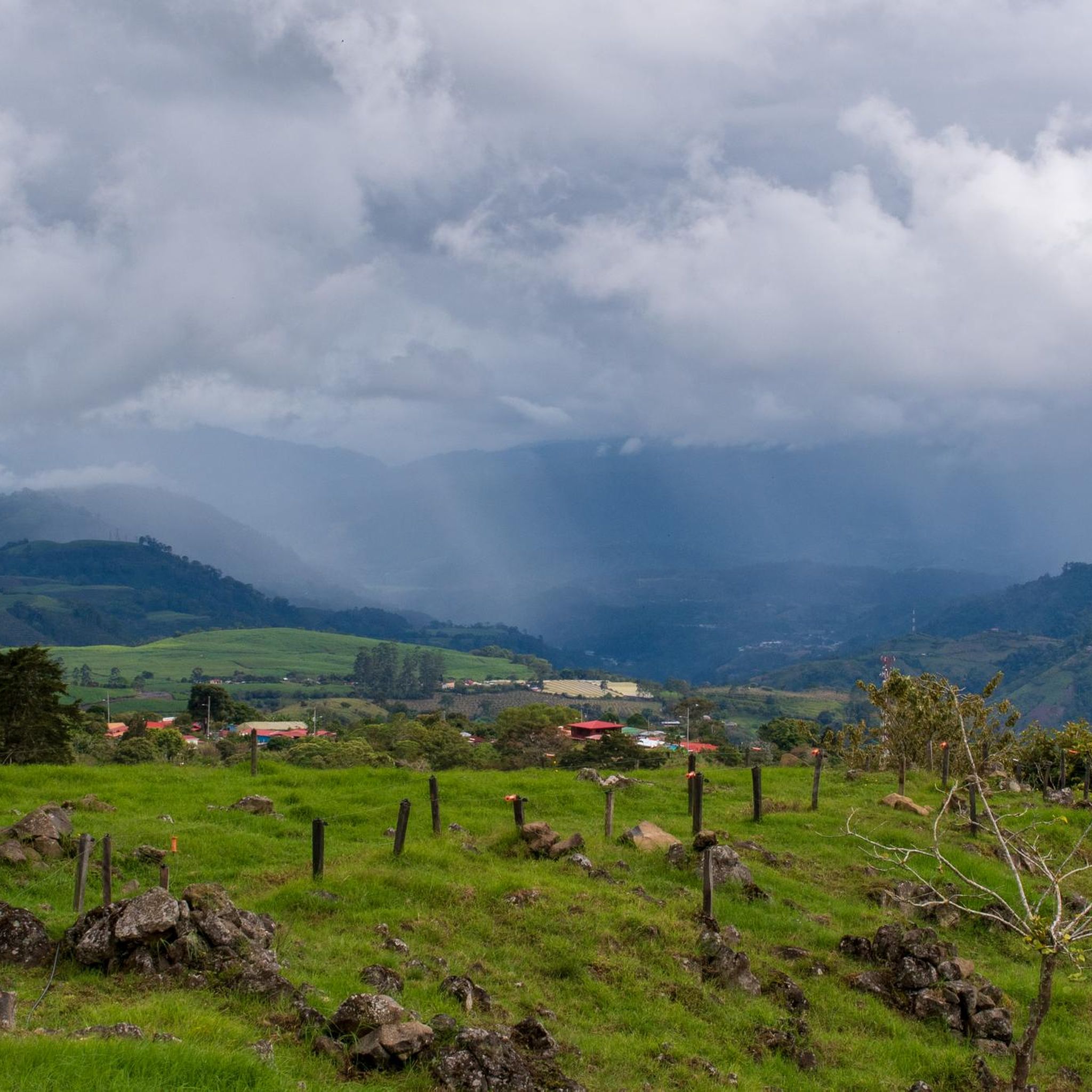
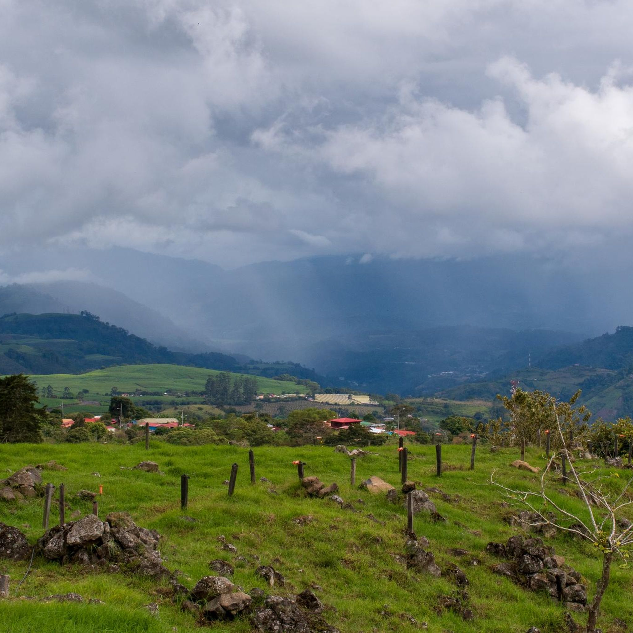
Jogging routes in Pacayas offer diverse terrain shaped by its active volcanic landscape. The region features challenging elevation gains, particularly around the Pacaya Volcano, which rises to approximately 8,373 feet (2,552 meters). Runners can experience varied surfaces, from volcanic sand and cooled lava fields to paths through pine forests and agricultural areas. This unique topography provides opportunities for robust workouts and trail running amidst significant natural features.
Best jogging routes in Pacayas
- The most popular jogging route is Ruinas de Santiago Apóstol loop from Oreamuno, an 11.85 miles (19.1 km) trail that takes 1 hour 59 minutes to complete. This difficult route features notable elevation changes.
- Another top favourite among local runners is Running loop from Oreamuno, a moderate 8.25 miles (13.3 km) path. This route offers a balanced running experience through varied landscapes.
- Local runners also love the Running loop from Paraíso, a 3.50 miles (5.6 km) trail leading through local surroundings, often completed in about 35 minutes.
- Jogging in Pacayas is defined by volcanic landscapes, diverse terrain, and pine forests. The network offers options for different ability levels, from moderate paths to more challenging routes.
- The routes in Pacayas are highly rated by the komoot community with an average score of 3.0 stars from a few reviews. More than 40 runners have used komoot to explore Pacayas's varied terrain.
Last updated: July 1, 2026
11
runners
19.2km
02:00
140m
140m
Hard run. Very good fitness required. Mostly paved surfaces. Suitable for all skill levels.
3.0
(1)
5
runners
13.3km
01:27
150m
150m
Moderate run. Good fitness required. Mostly paved surfaces. Suitable for all skill levels.

Sign up for free
4
runners
5.64km
00:35
40m
40m
Moderate run. Good fitness required. Mostly paved surfaces. Suitable for all skill levels.
Our route recommendations are based on thousands of hikes, rides, and runs completed by other people on komoot.
Start today with a free account
Your next adventure awaits.
Login or Signup
Popular around Pacayas

Frequently Asked Questions
What kind of terrain can I expect on running routes in Pacayas?
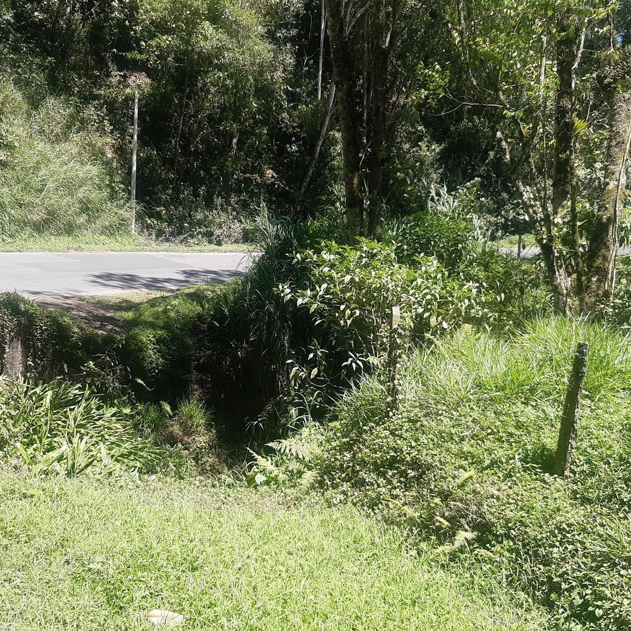
Pacayas offers a unique and diverse running experience due to its active volcanic landscape. You'll encounter varied surfaces, including volcanic sand, cooled lava fields, and paths winding through pine forests and agricultural areas. The region's distinct topography, shaped by the Pacaya Volcano, provides a dynamic environment for runners.
How challenging are the jogging routes in Pacayas?
The running routes in Pacayas vary in difficulty. While some paths are considered moderate, offering a balanced experience, others feature significant elevation gains, particularly around the Pacaya Volcano, which rises to approximately 2,552 meters (8,373 feet). These more strenuous routes are ideal for those seeking altitude training or a robust workout on varied terrain. For example, the Ruinas de Santiago Apóstol loop from Oreamuno is rated as difficult.
Are there any moderate running routes in Pacayas?
Yes, Pacayas offers several moderate running routes. For instance, the Running loop from Oreamuno is a moderate 13.3 km (8.25 miles) path that provides a balanced running experience through varied landscapes. Another moderate option is the Running loop from Paraíso, which is 5.6 km (3.5 miles) long.
What natural features or landmarks can I see while running in Pacayas?
The region is dominated by the active Pacaya Volcano, offering spectacular views and unique features. Runners can traverse sprawling lava fields, observe fumaroles (natural steam vents), and enjoy panoramic vistas of neighboring volcanoes like Agua, Fuego, and Acatenango. Beyond the volcanic landscape, you might also pass through lush pine forests and agricultural areas. Nearby attractions include the Main Crater of Irazú Volcano and the scenic Orosi Valley.
Are there any cultural or historical sites near the running trails?
Yes, the broader Pacayas region has several notable cultural and historical sites. You might consider visiting the Basilica of Our Lady of the Angels or the Cathedral of Cartago. For those interested in historical landmarks, the Sanatorio Durán is also in the vicinity.
What do other runners say about the trails in Pacayas?
The running routes in Pacayas are generally well-regarded by the komoot community, holding an average score of 3.0 stars from several reviews. Runners often appreciate the unique volcanic landscapes, the diverse terrain, and the challenging elevation gains that make for a rewarding workout. Over 40 runners have used komoot to explore the varied paths in the region.
Are there any long-distance running options in Pacayas?
For runners looking for longer distances, the Ruinas de Santiago Apóstol loop from Oreamuno is a challenging route spanning 19.1 km (11.85 miles). This route offers a significant workout with notable elevation changes.
Can I find running routes that are loops in Pacayas?
Yes, several running routes in Pacayas are designed as loops, offering convenient starting and ending points. Examples include the Ruinas de Santiago Apóstol loop from Oreamuno, the Running loop from Oreamuno, and the Running loop from Paraíso.
What is the highest elevation I might reach on a running trail in Pacayas?
When running in Pacayas, especially on trails around the Pacaya Volcano, you can reach significant altitudes. The volcano itself towers at approximately 2,552 meters (8,373 feet) above sea level, providing opportunities for strenuous runs with considerable elevation gain and thinner air at higher points.
Are there any natural reserves or eco-friendly farms in the Pacayas region?
Beyond the immediate volcanic area, Pacayas features tranquil natural reserves such as RESERVA NATURAL TIERRA SANTA and Finca Buena Vista. There are also eco-friendly farms like Rancho Pacaya and Finca Campo Alegre, which offer serene landscapes and different scenic options for outdoor activities, including running through lush forests and farmland.
How many running routes are available in Pacayas?
There are several running routes available in Pacayas, with komoot listing 4 distinct tours. These include a mix of moderate and difficult options, catering to different fitness levels and preferences.
Most popular routes in Pacayas
Most popular attractions in Pacayas

Get inspired with the komoot mobile app


Explore more
Browse the best Running Trails & Routes in other regions.
