The best cycling routes in El Rosario
5.0
(53)
971
riders
94
rides
Touring cycling routes in El Rosario traverse a landscape characterized by varied terrain, including significant elevation changes. The region offers a mix of paved and unpaved surfaces, providing diverse challenges for cyclists. Routes often feature climbs and descents through areas with natural features.
Best touring cycling routes in El Rosario
- The most popular touring cycling route is Palmares Church – Monument to Lisímaco Chavarría loop from Palmares, a 13.8 miles (22.3 km) trail that takes 1 hour 33 minutes…
Last updated: July 2, 2026
16
riders
22.4km
01:33
390m
390m
Moderate bike ride. Good fitness required. Mostly paved surfaces. Suitable for all skill levels.
10
riders
34.5km
02:26
670m
670m
Hard bike ride. Very good fitness required. Mostly paved surfaces. Suitable for all skill levels.

Sign up for free
12
riders
84.6km
05:50
1,470m
1,470m
Hard bike ride. Very good fitness required. Mostly paved surfaces. Suitable for all skill levels.
5.0
(2)
10
riders
Hard bike ride. Very good fitness required. Mostly paved surfaces. Suitable for all skill levels.
8
riders
24.6km
01:57
670m
670m
Hard bike ride. Very good fitness required. Mostly paved surfaces. Suitable for all skill levels.
Get access to more routes and recommendations from other explorers.
Sign up for free
Already have an account?
Our route recommendations are based on thousands of hikes, rides, and runs completed by other people on komoot.
Start today with a free account
Your next adventure awaits.
Login or Signup
Popular around El Rosario
Tips from the Community

Monument to the Ramón poet Lisímaco Chavarría (May 10, 1878 – August 27, 1913)
0
0
The church of Naranjo is built under the dedication of Our Lady of Mercy. In 1869, when Monsignor Anselmo Llorente y la Fuente was Archbishop of Costa Rica, it was decided to build a new temple on land donated by Don Manuel Mora, a resident of the town, the materials and labor were provided by the same neighbors. The Parish of Naranjo was founded in August of the year 1881. The first parish priest was the Presbyter Ignacio Monge. Naranjo was originally called: “El Repasto”. Naranjo had priests since 1865, but it belonged to the Parish of Grecia. It was granted the title of Basilica attached to the Basilica of Santa Maria Maggiore in Rome, on December 8, 1929.
0
0
The center of palmares, there is not much apart from the Church
0
0

It is a relatively easy route, the path is very flat and there is hardly any difference in level, very useful for a day of relaxation and a good walk
1
0
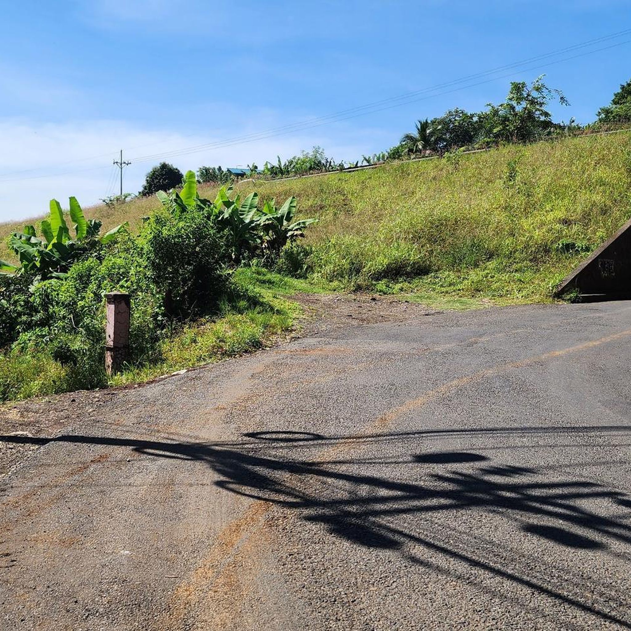
A lot of stone, although not loose, creates a lot of vibration in the descent
1
0
Frequently Asked Questions
What is the overall difficulty level of touring cycling routes in El Rosario?
Touring cycling in El Rosario is generally characterized by challenging climbs and varied road surfaces. While there is one easy route, the majority of the 91 available routes are either moderate (26 routes) or difficult (64 routes), indicating significant elevation changes and demanding terrain.
Are there any easy touring cycling routes suitable for beginners in El Rosario?
Yes, there is one easy touring cycling route available in El Rosario. However, most routes are moderate to difficult, so beginners should carefully check route details before setting out. For a moderate option, consider the Palmares Church – Monument to Lisímaco Chavarría loop from Palmares, which is 13.8 miles (22.3 km) with notable elevation gain.
What kind of terrain can I expect on touring cycling routes in El Rosario?
The terrain in El Rosario is varied, featuring significant elevation changes with both climbs and descents. You can expect a mix of paved and unpaved surfaces, offering diverse challenges for cyclists. This aligns with the rugged and natural environments found in regions like Baja California or the volcanic landscapes of Tenerife, which often feature mixed surfaces.
Are there any circular touring cycling routes in El Rosario?
Yes, many touring cycling routes in El Rosario are designed as loops. Examples include the moderate Palmares Church – Monument to Lisímaco Chavarría loop from Palmares, the difficult View of Minte Mountain – Bridge Entrance to Palmares loop from Naranjo, and the longer Sarchí Oxcart and Church – Turrúcares Park loop from Naranjo.
What are some interesting places to see or landmarks along the touring cycling routes in El Rosario?
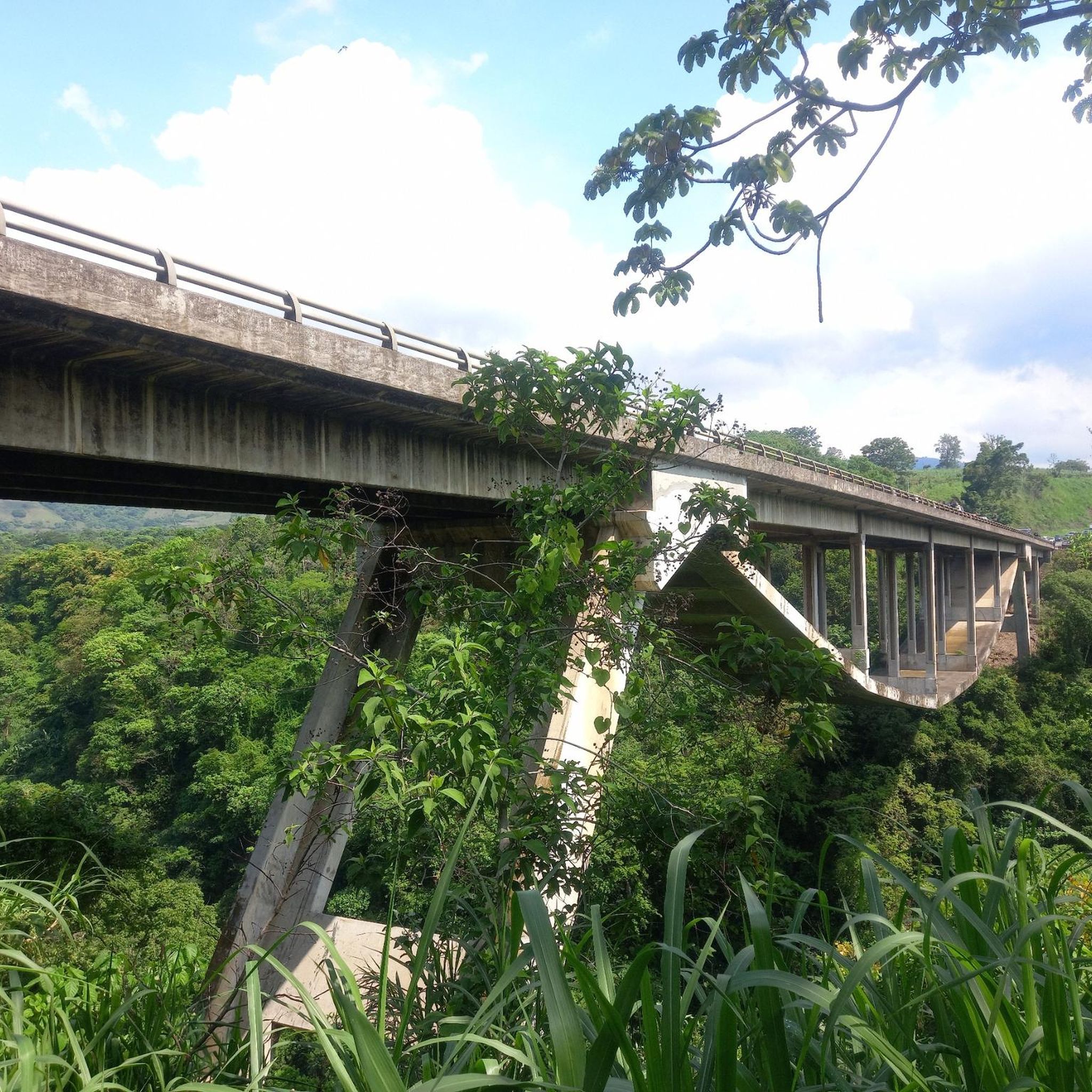
Along the touring cycling routes in El Rosario, you can discover several interesting landmarks and attractions. These include the impressive Church of Our Lady of Mercy of Grecia, the tranquil Turrúcares Park, and the historic Oxcart Driver Monument of Los Ángeles de Atenas. Other notable sites are the Basilica of Our Lady of the Mercies of Naranjo and the unique Puente de Piedra de Grecia.
What do other touring cyclists say about the routes in El Rosario?
The touring cycling routes in El Rosario are highly regarded by the komoot community, holding an impressive average rating of 4.9 stars from over 50 reviews. More than 1000 touring cyclists have used komoot to explore the area, often praising the challenging climbs, varied road surfaces, and scenic views.
Are there any specific permits required for touring cycling in El Rosario?
The provided information does not indicate any specific permits required for general touring cycling on the routes in El Rosario. However, if you plan to cycle through protected natural areas or private land, it's always advisable to check local regulations or signage for any specific access requirements.
What is the best time of year to go touring cycling in El Rosario?
While specific seasonal recommendations for El Rosario are not detailed, regions with varied terrain and elevation, like those described, often offer pleasant cycling conditions during cooler, drier months. It's generally best to avoid peak rainy seasons or extreme heat, which can make challenging routes even more demanding. Always check local weather forecasts before your trip.
Are there options for food and drink near the touring cycling routes in El Rosario?
While specific cafes and restaurants directly on the routes are not listed, the presence of towns like Palmares and Naranjo as starting points for several routes suggests that amenities for food and drink would be accessible in these areas. It's a good practice to carry sufficient water and snacks, especially on longer or more remote sections.
Is public transport available to access touring cycling trails in El Rosario?
The guide data does not specify public transport options directly to the trailheads. However, given that routes often start from towns like Palmares and Naranjo, it is likely that local public transport services connect to these population centers. Cyclists should research local bus routes or other transport options to reach their desired starting points.
Are there any family-friendly touring cycling routes in El Rosario?
Given that the vast majority of routes in El Rosario are rated moderate to difficult, and feature significant elevation gains and varied surfaces, truly 'family-friendly' routes suitable for young children or inexperienced riders are limited. There is one easy route, but families should carefully assess its characteristics and consider the fitness levels of all participants before attempting any route.
Where can I find parking for touring cycling routes in El Rosario?
Routes often start from towns such as Palmares and Naranjo. It is generally advisable to look for designated parking areas within these towns or near known trailheads. Specific parking information for each route is not provided, so planning ahead and checking local maps for parking facilities at your chosen starting point is recommended.
Most popular attractions in El Rosario

Get inspired with the komoot mobile app


Explore more
Browse the best Cycling routes in other regions.
