The best road cycling routes in Santiago De Cali
5.0
(70)
866
riders
12
rides
Road cycling routes in Santiago De Cali traverse a diverse landscape, characterized by its proximity to the Western Andes mountain range. The region features significant elevation changes, with routes ascending into hills and offering views of the surrounding valleys. Road cyclists can expect varied terrain, from urban areas to more rural, undulating paths.
Best road cycling routes in Santiago De Cali
- The most popular road cycling route is Robles Police Substation – Guachinte Territory of Peace loop from Velodromo Alcides…
Last updated: July 16, 2026
4.9
(19)
137
riders
Moderate road ride. Good fitness required. Mostly well-paved surfaces and easy to ride.
5.0
(5)
141
riders
91.7km
03:40
140m
140m
Moderate road ride. Good fitness required. Mostly well-paved surfaces and easy to ride.

Sign up for free
5.0
(3)
123
riders
63.5km
03:56
1,630m
1,630m
Hard road ride. Very good fitness required. Mostly well-paved surfaces and easy to ride.
5.0
(1)
100
riders
34.9km
02:25
1,090m
1,090m
Hard road ride. Very good fitness required. Mostly well-paved surfaces and easy to ride.
5.0
(5)
35
riders
52.2km
02:17
240m
240m
Moderate road ride. Good fitness required. Mostly well-paved surfaces and easy to ride.
Get access to more routes and recommendations from other explorers.
Sign up for free
Already have an account?
Our route recommendations are based on thousands of hikes, rides, and runs completed by other people on komoot.
Start today with a free account
Your next adventure awaits.
Login or Signup
Popular around Santiago De Cali
Tips from the Community


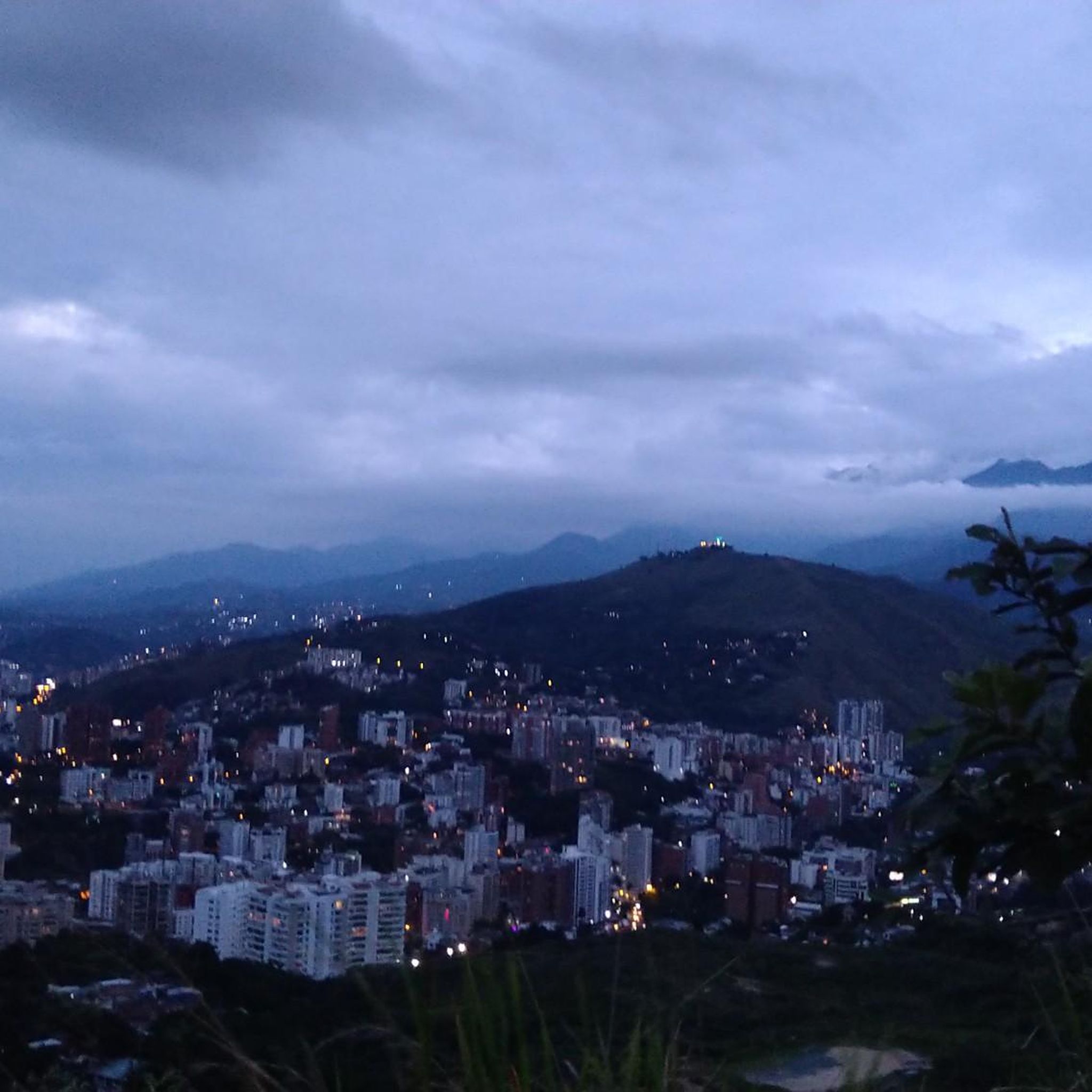
It is a municipality of Colombia located in the department of Valle del Cauca. The Municipality is known culturally, touristically and economically because the Hacienda El Paraíso is located in its jurisdiction, the place where the events of the novel María, a masterpiece by Valle del Cauca writer Jorge Isaacs, took place. Part of its territory also belongs to the Las Hermosas National Natural Park. It is located to the east of Cali, the capital of the department, about 47 km away.
0
0

Frequently Asked Questions
How many road cycling routes are available in Santiago De Cali?
Santiago De Cali offers a selection of 12 road cycling routes, catering to various skill levels. You'll find options ranging from moderate loops to challenging climbs within the region.
Are there road cycling routes suitable for beginners in Santiago De Cali?
Yes, Santiago De Cali has 2 easy road cycling routes perfect for those new to the sport or looking for a more relaxed ride. These routes typically feature less demanding terrain and elevation changes.
What are the options for experienced road cyclists seeking a challenge in Santiago De Cali?
Experienced road cyclists will find 5 difficult routes in Santiago De Cali, characterized by significant elevation changes and challenging ascents. For example, the Buenaventura Km 18 loop from Cali is a demanding 39.4-mile trail with substantial climbing.
Are there any circular road cycling routes in Santiago De Cali?
Many of the road cycling routes in Santiago De Cali are designed as loops, allowing you to start and finish at the same point. A popular example is the Robles Police Substation – Guachinte Territory of Peace loop from Velodromo Alcides Nieto Patiño, a 48.2-mile moderate route.
What kind of terrain can I expect on road cycling routes in Santiago De Cali?
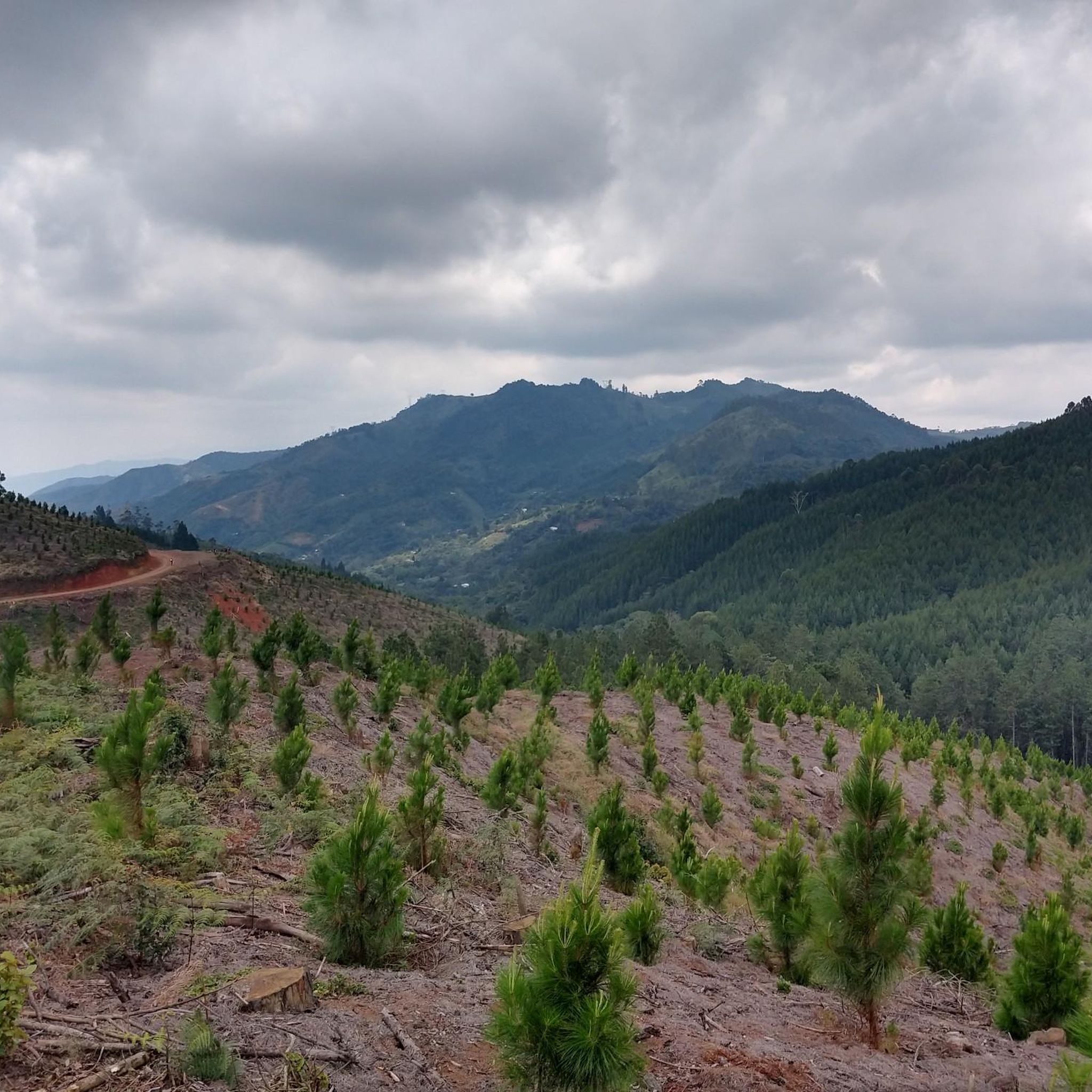
Road cycling in Santiago De Cali features diverse terrain, from urban sections to rural paths. The region is known for its proximity to the Western Andes, meaning you can expect significant elevation changes, including both undulating roads and challenging climbs into the hills.
What are some notable landmarks or viewpoints along the road cycling routes?
While cycling, you might encounter various points of interest. Some routes offer views of the surrounding valleys, and you can find landmarks like the Hill of the Three Crosses or the El Rosario Summit, which are popular highlights in the region.
What do other road cyclists say about the routes in Santiago De Cali?
The road cycling routes in Santiago De Cali are highly regarded by the komoot community, boasting an impressive average rating of 4.98 stars from over 30 reviews. Cyclists frequently praise the varied terrain and the rewarding challenges offered by the region's climbs.
Are there any routes that include bridge crossings?
Yes, some routes incorporate bridge crossings, adding a unique element to your ride. The Marin Sport – Bridges loop from Comuna 6 is a moderate 56.9-mile path that specifically features several bridge crossings, offering a mix of urban and open landscapes.
What is a good moderate-difficulty road cycling route in Santiago De Cali?
For a moderate challenge, consider the Puente Rojo loop from Comuna 1. This 32.4-mile route offers a balanced ride with manageable elevation changes, typically taking around 2 hours and 16 minutes to complete.
How long do road cycling routes typically take in Santiago De Cali?
The duration of road cycling routes in Santiago De Cali varies significantly based on distance and difficulty. For instance, a moderate route like the Robles Police Substation – Guachinte Territory of Peace loop can take around 3 hours and 11 minutes, while a difficult one like the Buenaventura Km 18 loop from Cali might take closer to 3 hours and 55 minutes.
Are there any road cycling routes that pass through rural landscapes?
Many routes in Santiago De Cali venture into rural landscapes, providing a scenic escape from urban areas. The Robles Police Substation – Guachinte Territory of Peace loop is a prime example, offering a ride through tranquil countryside.
Most popular routes in Santiago De Cali
Most popular attractions in Santiago De Cali

Get inspired with the komoot mobile app


Explore more
Browse the best Road cycling routes in other regions.
