The best MTB trails in Aratoca
4.0
(5)
49
riders
7
rides
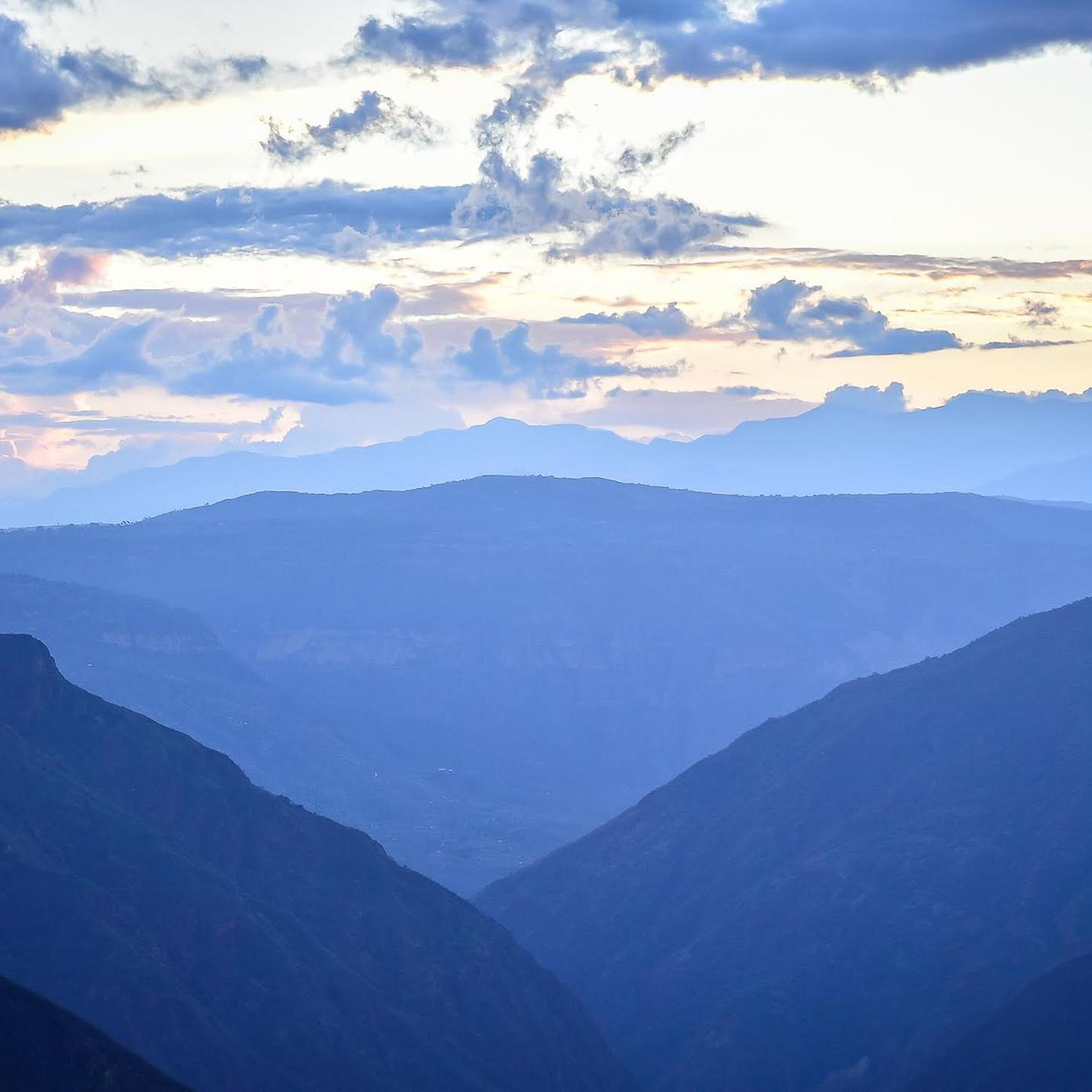
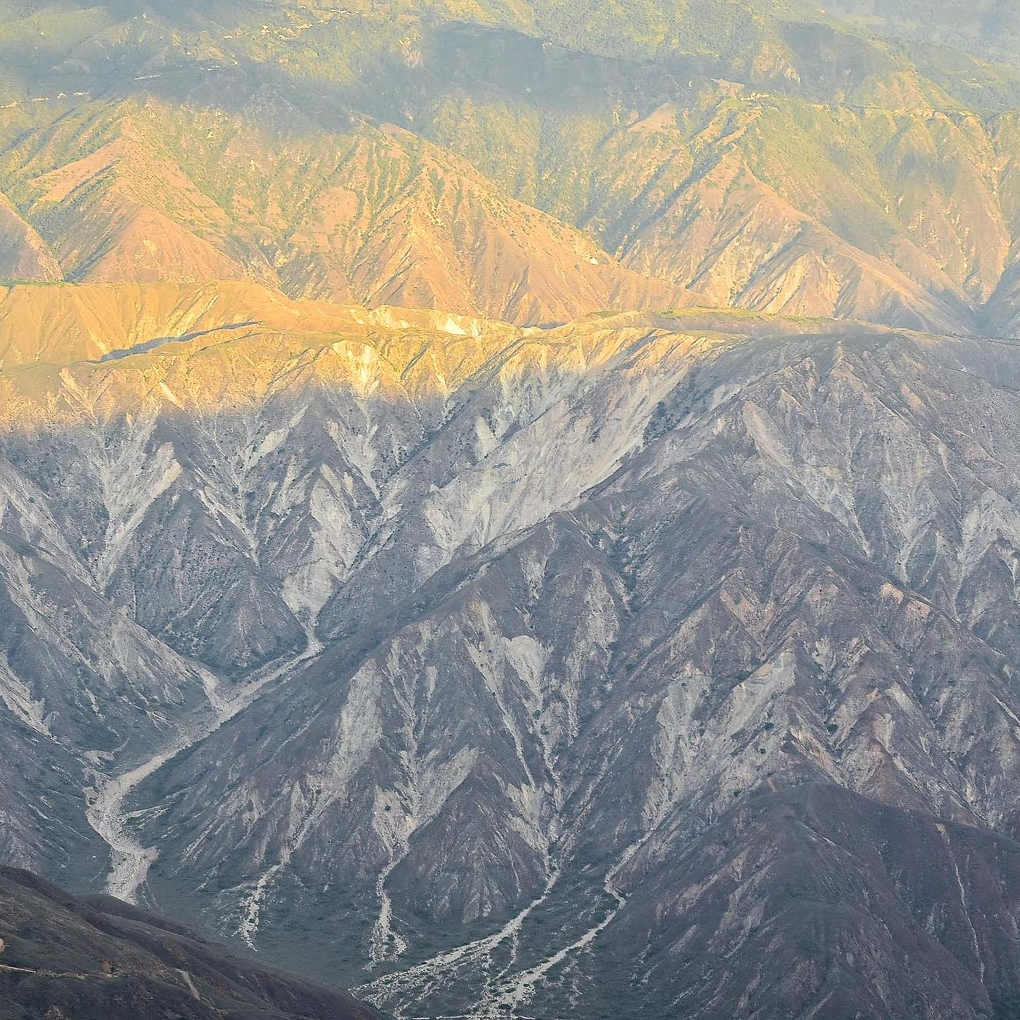
Mountain biking in Aratoca offers diverse terrain within the Santander region of Colombia. The area is characterized by its location as a high point of the Chicamocha Canyon, the second-largest canyon globally, featuring dramatic cliffs and significant altitude variations. Known as "The City of Hills," Aratoca's landscape includes undulating terrain, transitioning from dry tropical forests to pine forests and lush vegetation. This varied environment provides a challenging playground for mountain biking enthusiasts.
Best mountain bike trails in Aratoca
- The most…
Last updated: July 15, 2026
3.5
(2)
10
riders
Moderate mountain bike ride. Good fitness required. Suitable for all skill levels.
12
riders
64.0km
05:40
1,680m
1,680m
Hard mountain bike ride. Very good fitness required. Suitable for all skill levels.

Sign up for free
10
riders
79.8km
06:47
2,110m
2,120m
Hard mountain bike ride. Very good fitness required. Suitable for all skill levels.
8
riders
55.1km
05:16
1,650m
1,660m
Hard mountain bike ride. Very good fitness required. Suitable for all skill levels.
3.5
(2)
5
riders
Moderate mountain bike ride. Good fitness required. Suitable for all skill levels.
Get access to more routes and recommendations from other explorers.
Sign up for free
Already have an account?
Our route recommendations are based on thousands of hikes, rides, and runs completed by other people on komoot.
Start today with a free account
Your next adventure awaits.
Login or Signup
Popular around Aratoca
Tips from the Community


Travel with precautions
0
0
bring lunch
0
0
Frequently Asked Questions
What kind of terrain can I expect on mountain bike trails in Aratoca?
Aratoca, known as "The City of Hills," offers a diverse and rugged landscape. You'll encounter undulating terrain, transitioning from dry tropical forests to pine forests and lush vegetation. The trails often feature steep descents, gravel paths, bumpy inclined tracks, deep ruts, potholes, and narrow single tracks, especially within the Chicamocha Canyon area.
What are the difficulty levels of mountain bike trails in Aratoca?
The mountain bike trails in Aratoca cater to experienced riders, with 3 routes rated as moderate and 4 routes rated as difficult. There are no easy trails listed in the immediate area, indicating a focus on more challenging rides.
Are there any circular mountain bike routes in Aratoca?
Yes, several routes in Aratoca are designed as loops. For example, the View of Chicamocha Canyon – La Mesa Farmers' Market loop from Tienda doña helena is a moderate 23.2-mile loop offering views of the vast Chicamocha Canyon. Another option is the difficult Panoramic View of San Gil – San Gil Airport loop from Curití, which features extensive climbs and descents.
What natural features or viewpoints can I see while mountain biking in Aratoca?
Aratoca is a high point of the Chicamocha Canyon, the second-largest canyon in the world, offering breathtaking panoramic views. Trails often provide vistas of dramatic cliffs and varied ecosystems. You can also find water features like the Juan Curi Waterfall and the magical Piletas de Manchego, though these may require detours from bike trails.
What do other mountain bikers say about the trails in Aratoca?
The mountain bike routes in Aratoca are highly rated by the komoot community, with an average score of 4.0 stars from over 5 reviews. Riders often praise the dramatic scenery of the Chicamocha Canyon and the challenging, varied terrain that makes for an exciting adventure.
What is the best time of year for mountain biking in Aratoca?
While specific seasonal conditions are not detailed, the region's diverse ecosystems, transitioning from dry tropical forests to lush vegetation, suggest that conditions can vary. It's advisable to check local weather forecasts before planning your trip, especially considering the significant altitude variations within the Chicamocha Canyon.
Are there any family-friendly mountain bike trails in Aratoca?
The mountain bike trails listed for Aratoca are predominantly rated as moderate to difficult, indicating they are more suited for experienced riders rather than families with young children or beginners. There are no easy trails available in the immediate selection.
Can I find mountain bike tours or groups in the Aratoca region?
Yes, the Santander department, where Aratoca is located, is recognized as an "adrenaline epicenter." Tour operators offer guided biking tours across the Chicamocha Canyon, providing established routes and infrastructure for mountain biking enthusiasts. You might find local groups through these operators or community forums.
Are there any permits required for mountain biking in Aratoca or the Chicamocha Canyon?
The provided information does not specify any permits required for general mountain biking on the trails around Aratoca. However, if you plan to enter specific protected areas like the Chicamocha National Park (PANACHI) or participate in organized tours, it's always best to check with local authorities or tour operators for any access requirements.
What other outdoor activities are available near Aratoca besides mountain biking?
Aratoca and its surroundings offer a wide array of outdoor adventures. You can enjoy paragliding over the Chicamocha Grand Canyon, white-water rafting and canyoning in local rivers, and numerous hiking and trekking trails, including ancient "caminos reales." The Chicamocha National Park (PANACHI) also offers a cable car ride with panoramic views and other adventure activities.
Is public transport available to access mountain bike trails in Aratoca?
While Aratoca is a charming town and a gateway to the Chicamocha Canyon, specific public transport options directly to mountain bike trailheads are not detailed. It's common in such regions for personal vehicles or local taxis/shuttles arranged through accommodation or tour operators to be the primary means of reaching more remote trail starting points.
Are there any long-distance mountain bike routes in the Aratoca area?
Yes, the region offers several longer routes. For instance, the Old Church of Mogotes – Sugarcane Plantation loop from Curití is a challenging 49.6-mile (79.8 km) trail that typically takes around 6 hours and 46 minutes to complete, leading through diverse landscapes.
Most popular routes in Aratoca

Get inspired with the komoot mobile app


Explore more
Browse the best MTB trails in other regions.
