The best road cycling routes in Santuario
48
riders
5
rides
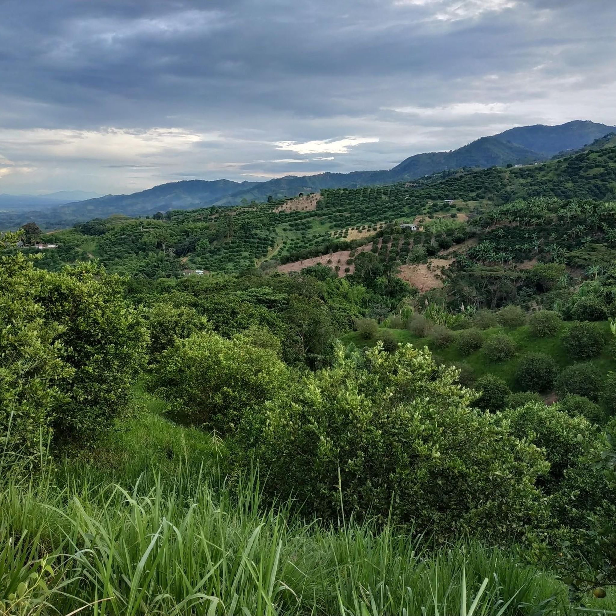
Road cycling in Santuario is characterized by its mountainous terrain, rolling hills, and verdant coffee plantations. The region offers diverse ecosystems, including cloud forests, which provide a varied backdrop for road cyclists. Routes often feature significant elevation changes, traversing through the natural landscapes of the Colombian Andes. This area is known for its challenging climbs and scenic vistas.
Best road cycling routes in Santuario
- The most popular road cycling route is Cerritos Viewpoint – La Virginia loop from Marsella,…
Last updated: July 15, 2026
18
riders
209km
11:01
3,320m
3,320m
Hard road ride. Very good fitness required. Mostly well-paved surfaces and easy to ride.
15
riders
142km
07:35
2,560m
2,560m
Hard road ride. Very good fitness required. Mostly well-paved surfaces and easy to ride.

Sign up for free
4
riders
48.9km
02:43
1,060m
1,050m
Hard road ride. Very good fitness required. Mostly well-paved surfaces and easy to ride.
7
riders
33.4km
01:25
260m
260m
Easy road ride. Great for any fitness level. Mostly well-paved surfaces and easy to ride.
4
riders
93.4km
05:14
1,950m
1,950m
Hard road ride. Very good fitness required. Some segments of this route may be unpaved and difficult to ride.
Our route recommendations are based on thousands of hikes, rides, and runs completed by other people on komoot.
Start today with a free account
Your next adventure awaits.
Login or Signup
Popular around Santuario
Tips from the Community

Anserma, also known as Santa Ana de los Caballeros or Old Anserma, is located in the western part of the department of Caldas. It was founded on August 15, 1539, and has a population of 33,792. Its main communication route is the Western Trunk Highway. It was one of the first Spanish settlements created in Colombia, founded by Marshal Jorge Robledo. Its economy is primarily based on coffee farming. TRANSPORTATION: The Western Trunk Highway connects the cities of Medellín (to the north), Pereira, and Cali (to the south). Communication with Manizales, the capital of Caldas, is primarily via the Risaralda (Caldas) - Arauca (Palestine district) - Manizales route (64 km). There are three airports nearby: Matecaña in Pereira, Santa Ana in Cartago, and La Nubia in Manizales.
0
0
Jurisdiction belonging to the Municipality of Anserma (Caldas) on the Western trunk road, the main activity is fishing
0
0
It is a jurisdiction belonging to Anserma (Caldas) located on the Western trunk road, where activities such as fishing can be carried out.
0
0
Arauca is a district under the jurisdiction of the municipality of Palestina (Caldas). Located on a ravine on the right bank of the Cauca River, it is an active point that links the center of the Department of Caldas with the Lower West. The name "Arauca" appears mentioned in the stories of the civil wars, at the same time that La Margarita is mentioned as one of the most important estates in that sector. In the forties and fifties of the twentieth century, its boom was unusual because it was an active train station. If one got on in Arauca, one could go directly to La Virginia, to many cities in the Cauca Valley. People and merchandise in all directions. Many of the employees of the vacation centers and condominiums in the La Rochela sector live in Arauca. In this district, construction materials are extracted from the Chinchiná River and tributaries of the Cauca. Arauca has an active trade. Especially, the purchase of coffee and cocoa.
0
0
Entrance to the San José road via pavement, with good demands for road bikes, it is approximately 3 km and some sections have an incline of 10%. You can access this small town in several ways, by going up Asia, or by Belalcázar or Risaralda.
0
0
It is located on the Manizales-La Felisa road, it has restaurants and cafes, along this same road is the entrance to the China path for MTB routes.
0
0

this is unpaved the entire way. MTB and Hybrids but no road bikes will make it
0
0

Rich point to rest and recharge with a delicious coffee
0
0
Frequently Asked Questions
How many road cycling routes are available in Santuario?
Santuario features 5 dedicated road cycling routes on komoot, offering diverse experiences through its mountainous terrain and coffee plantations.
What is the typical difficulty level for road cycling in Santuario?
Road cycling in Santuario is generally challenging, with 4 out of 5 routes rated as difficult. These routes feature significant elevation changes, traversing through the mountainous landscapes of the Colombian Andes. There is also one easy route available for those seeking a less strenuous ride, such as the Belén de Umbría Town Square – Lázaro Bridge loop from Viterbo.
What kind of landscapes and views can I expect on Santuario's road cycling routes?
Road cycling routes in Santuario offer panoramic views of the surrounding coffee region and the Colombian Andes. You'll pass through rolling hills, verdant coffee plantations, and diverse ecosystems, including cloud forests. The region's natural beauty provides a picturesque backdrop for your rides.
Are there any particularly long or challenging routes for experienced cyclists?
Yes, for experienced cyclists, the Cerritos Viewpoint – La Virginia loop from Marsella is a demanding 208.1 km (129.3 miles) route with extensive climbs and panoramic views. Another challenging option is the La Virginia – San Bernardo Toll Plaza loop from Matecaña International Airport, covering 142.0 km (88.2 miles) with significant elevation gain.
What are some notable landmarks or points of interest along the road cycling routes?
While cycling, you might encounter local settlements like La Celia Town Square, or natural features such as the Totuí Canyon. The routes also offer views of the region's coffee plantations and mountainous terrain.
Are there any circular road cycling routes in Santuario?
Yes, many of the routes in Santuario are designed as loops. Examples include the Cerritos Viewpoint – La Virginia loop from Marsella and the Belén de Umbría Town Square – Lázaro Bridge loop from Viterbo, allowing you to start and end at the same point.
What is the best time of year for road cycling in Santuario?
Santuario, being in a mountainous region of Colombia, generally experiences a tropical mountain climate. While specific best times can vary, the region's coffee-growing areas often have two rainy seasons and two dry seasons. For the most comfortable riding conditions, it's advisable to check local weather forecasts and consider the drier periods, typically from December to March and July to August, though conditions can be pleasant year-round.
Are there any easy road cycling routes suitable for beginners or a more relaxed ride?
Yes, for those seeking an easier ride, the Belén de Umbría Town Square – Lázaro Bridge loop from Viterbo is rated as easy. This 33.4 km (20.8 miles) route leads through varied terrain and can typically be completed in about 1 hour 24 minutes.
What do other road cyclists enjoy most about road cycling in Santuario?
Road cyclists using komoot often praise Santuario for its challenging climbs and the stunning panoramic views of the coffee region and the Colombian Andes. The diverse ecosystems, including cloud forests, also contribute to a unique and memorable cycling experience.
Are there any specific climbs or ascents that are popular among road cyclists?
Given the mountainous terrain, many routes feature significant ascents. The Nápoles (Comehombres) Climb is a notable ascent in the area, offering a challenging experience for those looking to test their climbing abilities.
Where can I find more information about bike parks or other cycling-related attractions in Santuario?
For information on bike parks and other cycling-related attractions, you can explore guides like Bike Parks in Santuario. Highlights such as La Margarita Trail and Alto Carminales Educational Center are listed there, though they may cater more to mountain biking.
Are there any routes that offer a good balance of challenge and scenic beauty?
The Entrance to San José loop from Belén de Umbría is a difficult 93.4 km (58.0 miles) route that combines a good challenge with the scenic beauty of the region, including its characteristic coffee plantations and rolling hills.
Most popular routes in Santuario
Most popular attractions in Santuario

Get inspired with the komoot mobile app


Explore more
Browse the best Road cycling routes in other regions.
