The best MTB trails in Santa Rosa De Cabal
4.8
(535)
1,127
riders
10
rides
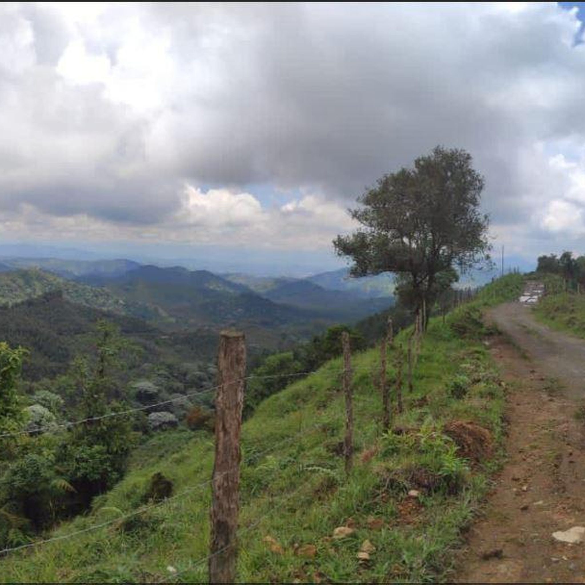
Mountain biking in Santa Rosa de Cabal offers diverse terrain within Colombia's Coffee Cultural Landscape, characterized by the majestic Andes mountains. The region features lush greenery, rolling hills, and extensive coffee plantations, providing varied landscapes for mountain bike routes. Riders encounter significant elevation changes and trails that traverse through cloud forests and offer views towards the high-altitude peaks of Los Nevados National Natural Park. The area's volcanic activity also contributes to unique natural features like thermal springs, adding to the…
Last updated: July 11, 2026
5.0
(4)
18
riders
97.6km
08:41
2,680m
2,680m
Hard mountain bike ride. Very good fitness required. Suitable for all skill levels.
4.9
(15)
19
riders
45.6km
03:34
1,140m
1,140m
Hard mountain bike ride. Very good fitness required. Suitable for all skill levels.

Sign up for free
5.0
(3)
12
riders
88.0km
08:42
2,730m
2,730m
Hard mountain bike ride. Very good fitness required. Suitable for all skill levels.
4.9
(27)
12
riders
30.5km
02:14
660m
660m
Moderate mountain bike ride. Good fitness required. Suitable for all skill levels.
4.6
(77)
12
riders
25.4km
01:42
430m
430m
Moderate mountain bike ride. Good fitness required. Suitable for all skill levels.
Get access to more routes and recommendations from other explorers.
Sign up for free
Already have an account?
Our route recommendations are based on thousands of hikes, rides, and runs completed by other people on komoot.
Start today with a free account
Your next adventure awaits.
Login or Signup


Tips from the Community


Section for MTB, with many wetlands with bamboo groves around it, with good climbs, on the left there is another path but it is a blind path, along this path you reach a private gate, but you can pass, it has good climbs with several technical parts, you must pay attention to the map because there are several detours, the path ends on the road to Guacas
0
0
MTB section, with a very good view of the town of Chinchiná, passes through farms and paths and a cross, the road is in good condition, although the Mangos neighborhood is not highly recommended, it is better to go there accompanied
0
0
Short stretch for MTB, it is a crossing before the Tarapacá 1 toll, previously vehicles used this road to avoid paying tolls and the other road was just under construction
0
0
During the nineties of the twentieth century, a peasant leader from Filandia named FLAMINIO MARÍA PARRA GALINDO, a resident of the village "La Palmera", began to develop a dream of creating a tourist viewpoint on the hill known as "El bizco" with a great panoramic view, and from this idea the MIRADOR COLINA ILUMINADA arose, although he was not able to see his dream come true, this construction is a tribute to his memory.
0
0

Slope hill force on pedal and be careful when descending good view ... recommended
0
0
The Alto de la Mina village is located 14 km from Chinchiná, on the Vía a Marsella, passing through Alto Curacao, the Manuel Mejía Foundation and the Naranjal Bankruptcy. They are also part of the declaration of the Coffee Cultural Landscape in 2011 made by UNESCO. Some petroglyphs dating back more than 10,000 years ago, made by prehistoric ancestors from the Neolithic period, have been found within the path. As for the history of the top of the mine, the path was generated as such with the Gómez family, owners of the Sinaí hacienda, this family from Antioquia who arrived in search of gold and took this area as a reference with the name of the "top of the mine." Some time later, this activity was abandoned because it was not so profitable and they dedicated themselves to growing coffee, especially coffee, this being their main livelihood today. Currently, the founders of the village are in their fifth generation, and the tourism service is also available.
1
0
Lake Balsora or Cameguadua Reservoir was built in 1952 to supply the power generating plants of Insula, La Esmeralda and San Francisco. Over time, the lake became a problem as it received a lot of sediment from the basins that supplied the reservoir. It was then divided into three lakes; and the CHEC, in alliance with the Government, the Mayor's Office, Empocaldas and Corpocaldas began with work to decontaminate and dredge the lake. In 2010, the north lake was isolated and in 2012, the construction of the pipeline to supply water from the Campoalegre River was completed, thinking of converting the place into a tourist site with great natural and landscape wealth. Today it has the capacity for 300 or 400 people, parking areas for cars and motorcycles, in addition, it has a 600 meter path and a special roundabout for bird watching, it has sport fishing, and a boat service.
0
0
Frequently Asked Questions
How many mountain bike trails are available in Santa Rosa de Cabal?
Santa Rosa de Cabal offers a wide selection of mountain bike trails, with over 100 routes available. The komoot community has mapped 10 specific mountain bike tours in the area, catering to various skill levels.
What kind of terrain can I expect on mountain bike trails in Santa Rosa de Cabal?
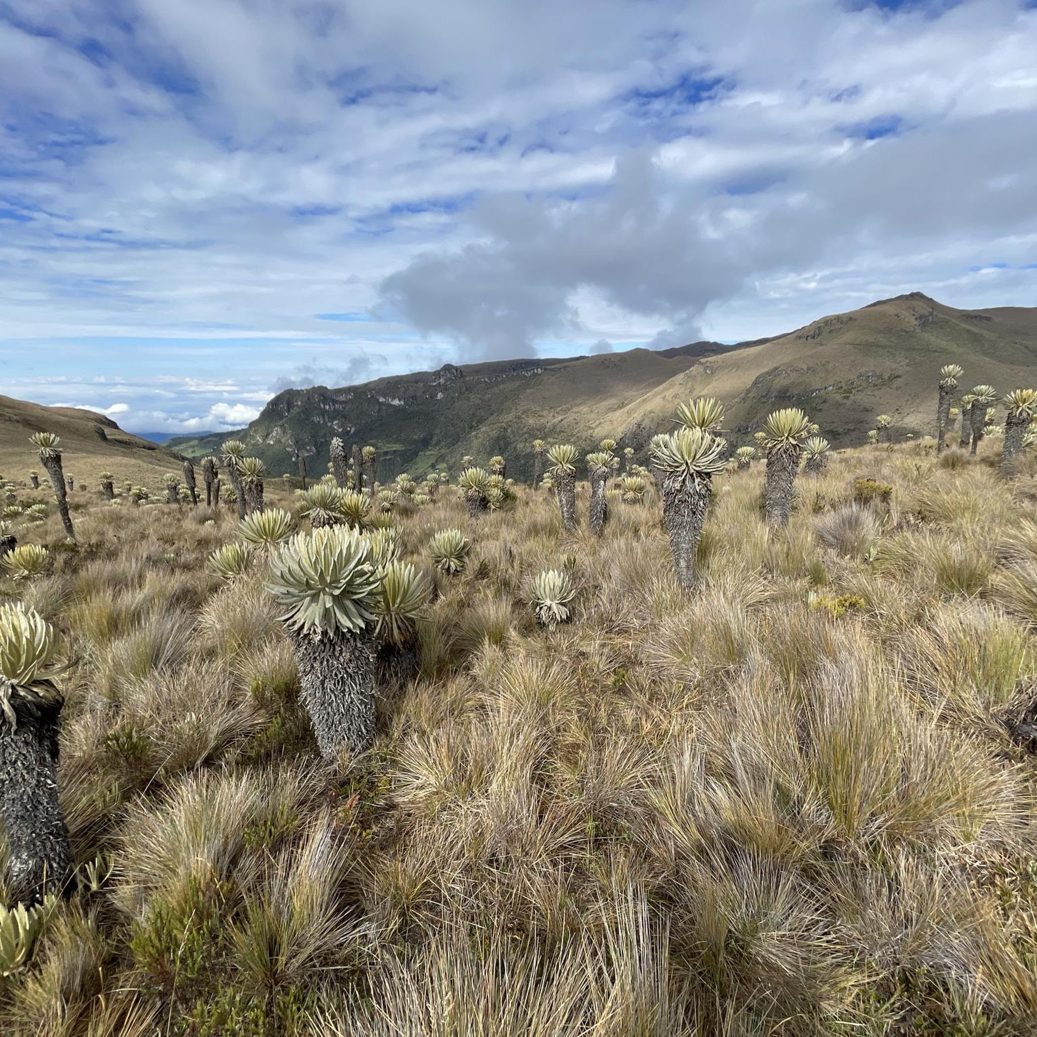
Mountain biking in Santa Rosa de Cabal takes you through diverse terrain within Colombia's Coffee Cultural Landscape. You'll encounter the majestic Andes mountains, lush greenery, rolling hills, and extensive coffee plantations. Trails often feature significant elevation changes, traversing through cloud forests and offering views towards the high-altitude peaks of Los Nevados National Natural Park.
What is the overall difficulty level of mountain biking in Santa Rosa de Cabal?
The trails in Santa Rosa de Cabal offer a mix of challenges. You'll find a good balance of moderate and difficult routes. Currently, 5 moderate and 5 difficult mountain bike tours are available, providing options for both intermediate riders and those seeking more demanding climbs and descents.
Are there any routes with significant elevation gain for experienced riders?
Yes, Santa Rosa de Cabal is known for its challenging routes with substantial elevation gain. For instance, the Colina Iluminada Viewpoint – Don Miguel Demonstration Farm loop from Empresa Arauca S.A. is a difficult 60.7-mile (97.7 km) trail with over 8,791 feet (2,679 meters) of elevation gain. Another demanding option is the Colina Iluminada Viewpoint – View of the Río Cauca Valley loop from Santa Rosa de Cabal, which covers 54.6 miles (87.8 km) with over 8,966 feet (2,732 meters) of ascent.
What natural landmarks or viewpoints can I see while mountain biking in Santa Rosa de Cabal?
The region is rich in natural beauty. Many routes offer panoramic views, especially from viewpoints like Colina Iluminada. You can also find stunning waterfalls, such as the Misty Forest Waterfall and Santa Rita Waterfall. The famous Cocora Valley, known for its wax palms, is also a significant natural monument nearby.
Can I combine mountain biking with a visit to the thermal springs?
Santa Rosa de Cabal is renowned for its thermal springs, a result of volcanic activity. While specific mountain bike routes may not lead directly to the thermal baths, the town itself is a hub for these attractions. You can easily plan your ride to conclude with a relaxing visit to places like Termales de Santa Rosa de Cabal or Balneario Termales, which are often set amidst beautiful landscapes with waterfalls.
Are there any circular mountain bike routes in the area?
Yes, many of the mountain bike trails in Santa Rosa de Cabal are designed as loops, allowing you to start and finish at the same point. Examples include the Potosí Restaurant – Los Pomos loop from Santa Rosa de Cabal, a moderate 19.0-mile (30.5 km) route, and the Restaurante Don Lolo – Colina Iluminada Viewpoint loop from El Jazmín, a moderate 15.8-mile (25.4 km) option.
What do other mountain bikers say about the trails in Santa Rosa de Cabal?
The mountain bike routes in Santa Rosa de Cabal are highly regarded by the komoot community, holding an average rating of 4.8 stars from over 500 reviews. More than 1,100 mountain bikers have used komoot to explore the varied terrain, often praising the stunning landscapes, challenging climbs, and the unique experience of riding through coffee plantations and cloud forests.
Are permits required for mountain biking, especially near Los Nevados National Natural Park?
Santa Rosa de Cabal serves as a gateway to Parque Nacional Los Nevados. While many local trails do not require specific permits, if your route takes you into or near the protected areas of Los Nevados National Natural Park, it is advisable to check with local authorities or park management regarding any necessary permits or regulations for entry and activities. This ensures compliance with conservation efforts.
What is the best time of year for mountain biking in Santa Rosa de Cabal?
Santa Rosa de Cabal generally experiences a temperate climate due to its Andean mountain location. While specific seasonal recommendations for mountain biking aren't provided, the region's lush greenery and cloud forests suggest that conditions can be pleasant year-round, though some periods may be wetter. It's always best to check local weather forecasts before heading out.
Are there options for bike rental in Santa Rosa de Cabal?
Given Santa Rosa de Cabal's growing recognition as an adventure tourism hub and the popularity of cycling in Colombia's mountainous regions, it is likely that local bike rental services are available. Inquire with local tour operators or sports shops in town for mountain bike rental options.
Are there any family-friendly mountain bike trails in Santa Rosa de Cabal?
While the guide highlights moderate and difficult routes, the broader region offers a variety of cycling routes. For family-friendly options, look for trails described as 'easy' or those that stick to less technical paths through coffee plantations or along flatter sections. Always check the route's difficulty and elevation profile to ensure it's suitable for all family members.
Most popular attractions in Santa Rosa De Cabal

Get inspired with the komoot mobile app


Explore more
Browse the best MTB trails in other regions.
