The best road cycling routes around Heilsbronn
4.5
(169)
1,723
riders
103
rides
Road cycling routes around Heilsbronn offer diverse terrain within the picturesque Franconian region of Bavaria, Germany. The area is characterized by rolling hills, verdant meadows, and expansive forests, providing varied landscapes for cyclists. Many routes feature mostly paved surfaces, making them suitable for road bikes. The region is part of the Frankenhöhe Nature Park, which contributes to its scenic backdrop and varied topography.
Best road cycling routes around Heilsbronn
- The most popular road cycling route is Igelsbachsee – Aicher Weiher…
Last updated: August 25, 2026
4.4
(19)
264
riders
99.0km
04:46
890m
890m
Moderate road ride. Good fitness required. Mostly well-paved surfaces and easy to ride.
4.5
(2)
138
riders
92.9km
04:13
840m
840m
Moderate road ride. Good fitness required. Mostly well-paved surfaces and easy to ride.

Sign up for free
4.3
(3)
114
riders
98.3km
04:21
710m
710m
Moderate road ride. Good fitness required. Mostly well-paved surfaces and easy to ride.
4.7
(31)
147
riders
Easy road ride. Great for any fitness level. Mostly well-paved surfaces and easy to ride.
5.0
(1)
71
riders
142km
06:28
1,330m
1,330m
Hard road ride. Very good fitness required. Mostly well-paved surfaces and easy to ride.
Get access to more routes and recommendations from other explorers.
Sign up for free
Already have an account?
Our route recommendations are based on thousands of hikes, rides, and runs completed by other people on komoot.
Start today with a free account
Your next adventure awaits.
Login or Signup
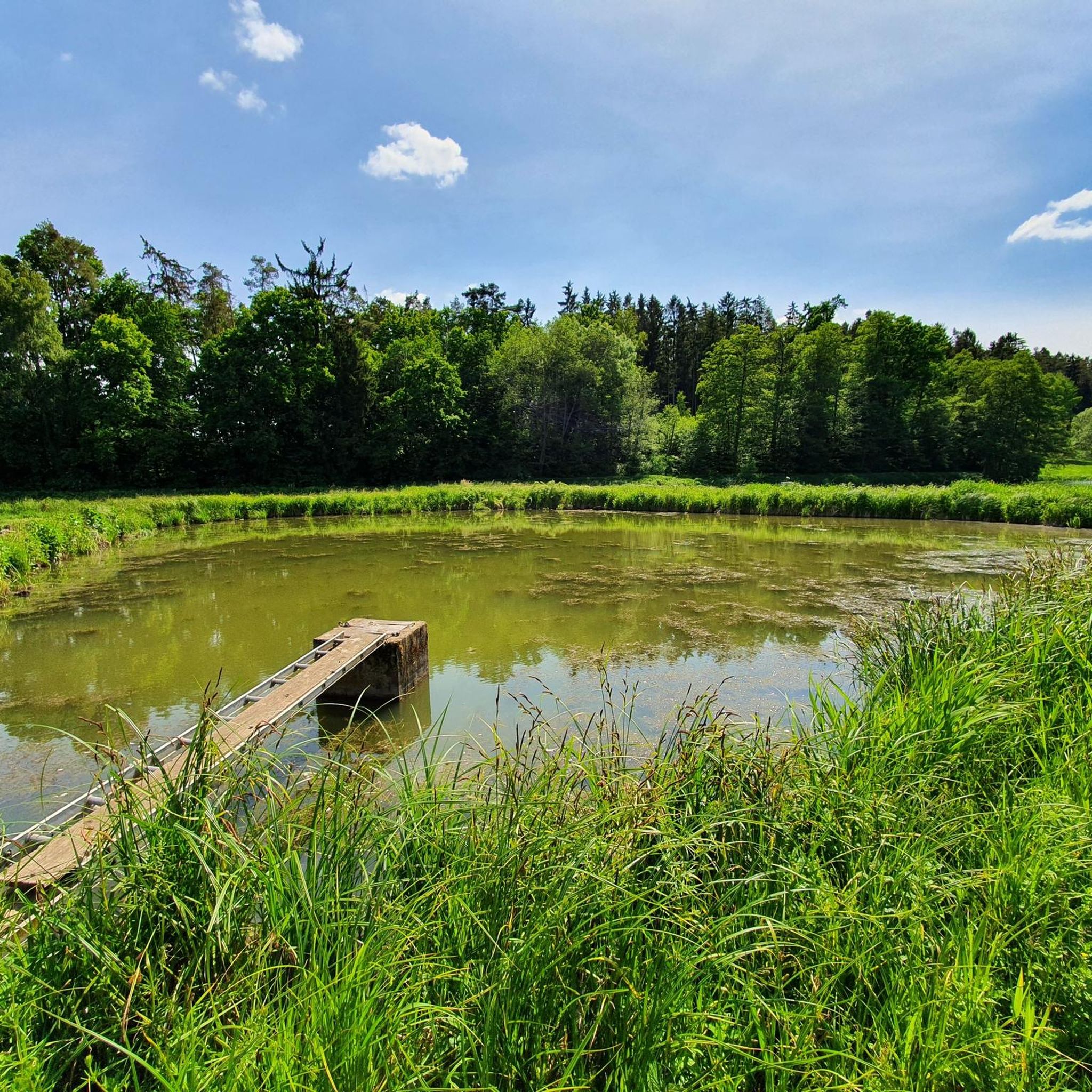
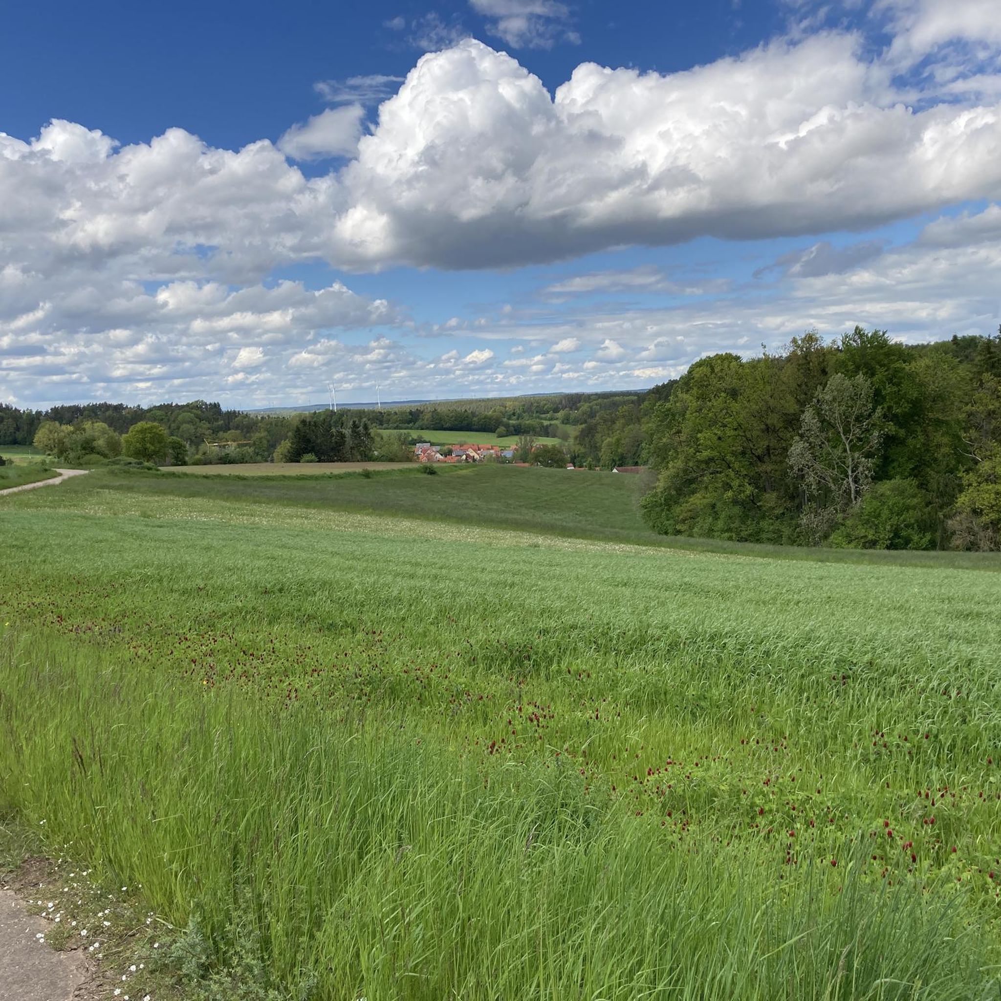
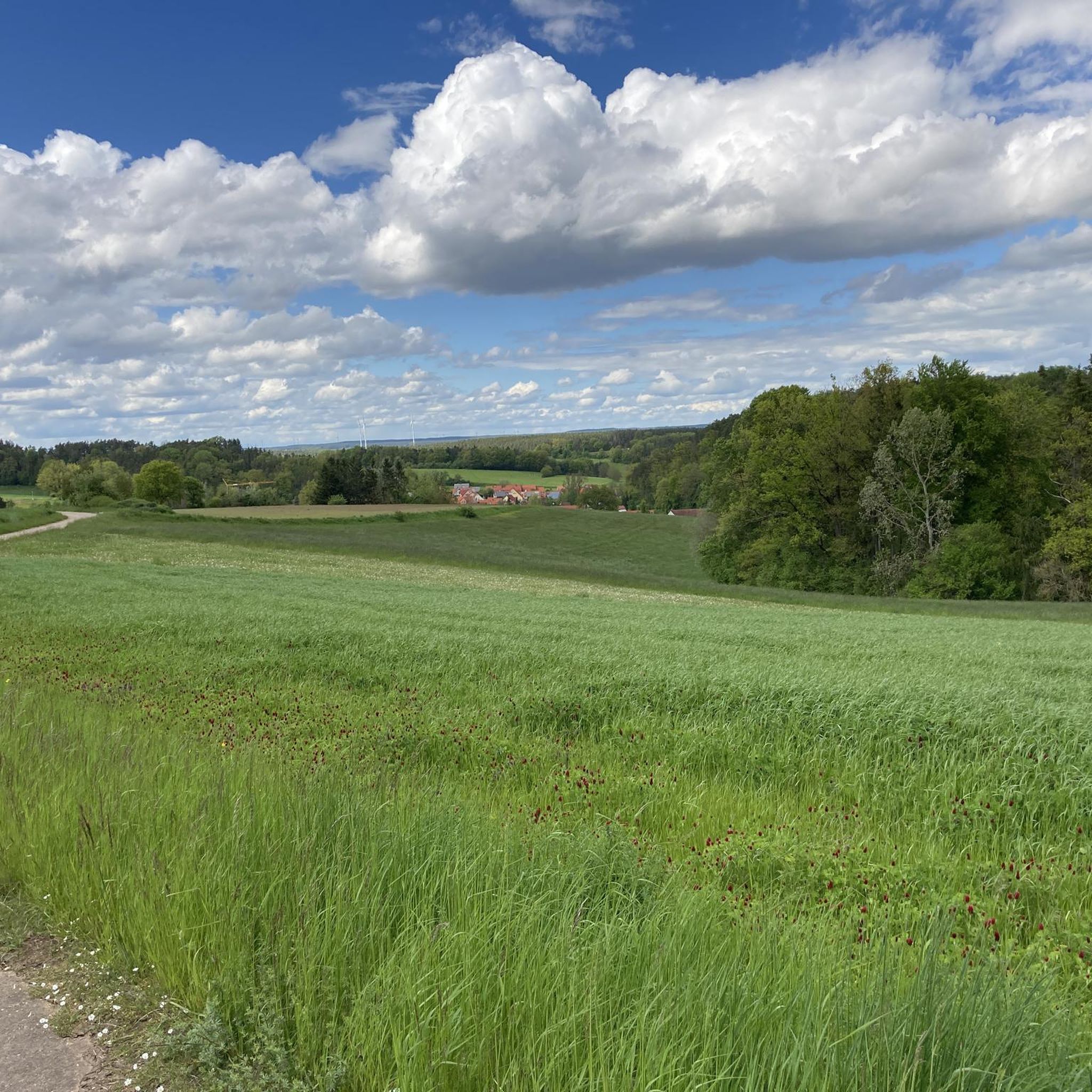
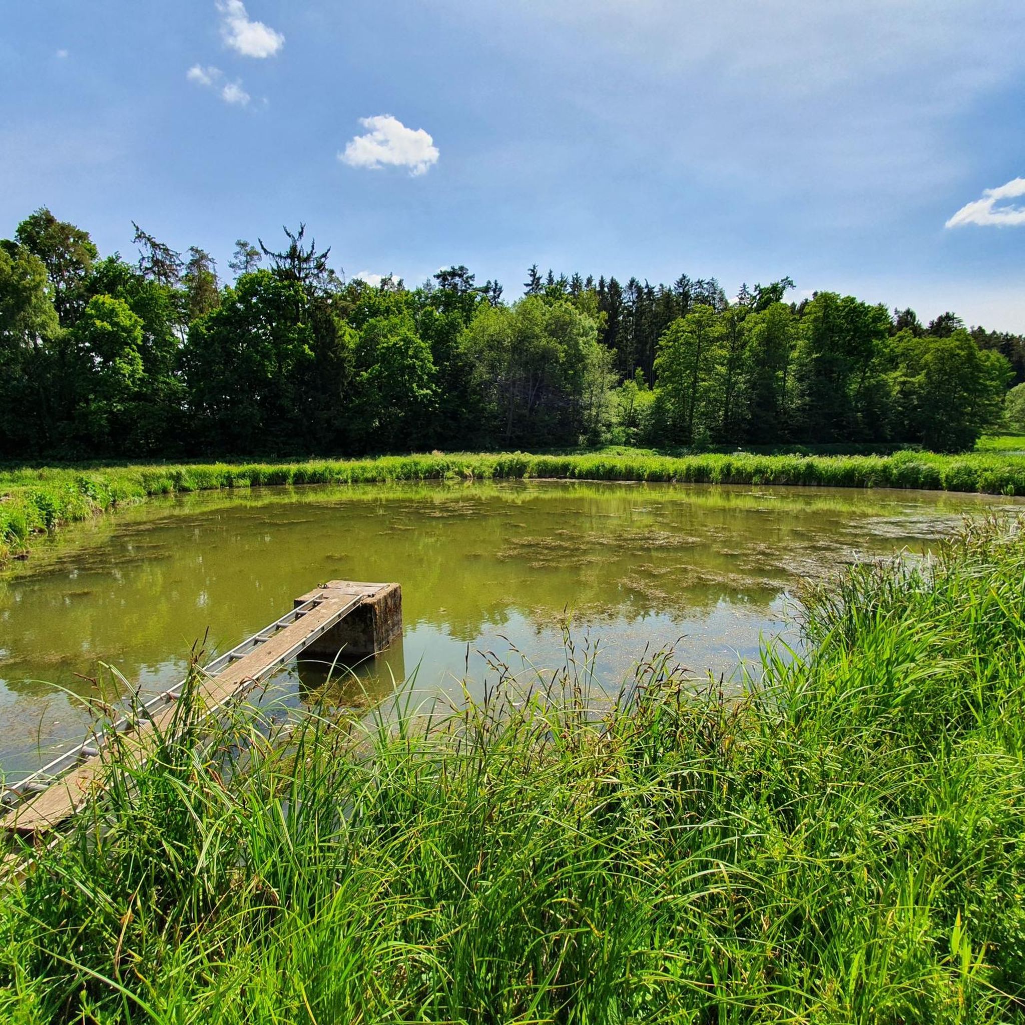
Tips from the Community

Beautiful view from the mountain to Colmberg Castle.
0
0

In spring, very beautiful view of the castle, when the trees do not yet have leaves
0
0

A 2 km long, pleasant stretch of road.
0
0
Neumühle is a former half-timbered mill from the 18th and 19th centuries.
0
0
Between Großhaslach and Adelmannssitz you pass the Obere Mühle and the Untermühle.
0
0

Rolls very well, hardly any traffic, what more could you want?
2
0

Rügland Castle is a two-part moated castle complex in Rügland. It is one of the few moated castles in Middle Franconia and was renovated by 1983. Since 1584, the estate has belonged to the Barons of Crailsheim. The Rügland area was already settled during the Stone Age; the first mention of the place dates back to 1137. At that time, ownership of Rügland was granted to Berta, the widow of Gerunch von Wielandsheim. In 1147, Rügland passed as a fief to the St. Gumbert Abbey in Ansbach. By 1298 at the latest, the Lords of Vestenberg owned Rosenberg Castle and the moated castle in Rügland. In 1437, the Rügland line of Vestenbergs died out, and the castle passed to the Rosenberg branch, although it remained a family seat. The only remaining relic of the castle is a cellar. Source: Wikipedia
1
0

Colmberg Castle sits enthroned on a 511-meter-high mountain spur above the Franconian town of Colmberg in Bavaria. Its history dates back to the 13th century, and it was long owned by the Hohenzollern family. Today, the well-preserved medieval complex houses a castle hotel with a restaurant known for its regional cuisine. The castle offers picturesque views of the surrounding countryside and is a popular starting point for hikes. The 15th-century castle chapel is also a popular venue for weddings.
2
0
Frequently Asked Questions
How many road cycling routes are available around Heilsbronn?
There are over 110 road cycling routes around Heilsbronn listed on komoot, offering a wide variety of options for different skill levels and preferences. You'll find everything from easy rides to more challenging tours.
What kind of terrain can I expect on road cycling routes near Heilsbronn?
Road cycling routes around Heilsbronn feature diverse terrain within the picturesque Franconian region. You can expect rolling hills, verdant meadows, and expansive forests. Many routes offer mostly paved surfaces, traversing a mix of open countryside and beautiful forested areas, often on little-used side roads and country lanes.
Are there road cycling routes suitable for beginners in Heilsbronn?
Yes, Heilsbronn offers a good selection of routes for beginners. Approximately 40 easy road cycling tours are available, providing gentler gradients and manageable distances. An example of an easy route is the Cycle Path Along the B14 – Scenic Downhill Path loop from Heilsbronn, which is about 44 km long.
Are there challenging road cycling routes with significant climbs around Heilsbronn?
Absolutely. For those seeking a challenge, there are several routes with significant elevation gain, including 5 difficult tours. The region's rolling hills, particularly within the Frankenhöhe Nature Park, provide opportunities for climbs. For instance, the Aicher Weiher – Hesselberg Summit loop from Heilsbronn is a demanding 141 km route with over 1300 meters of elevation gain.
What scenic attractions can I see while road cycling around Heilsbronn?
The region offers numerous scenic attractions. You can cycle through the beautiful Frankenhöhe Nature Park with its diverse landscapes. Routes often pass by significant water bodies like Igelsbachsee and Aicher Weiher. For historical sights, consider routes that take you near the impressive Cadolzburg Castle or the Leonrod Castle Ruins.
Are there historical landmarks accessible by road bike in the Heilsbronn area?
Yes, the Heilsbronn area is rich in history. The town itself is home to the impressive 12th-century Heilsbronn Monastery. Nearby, you can find Cadolzburg Castle, which offers fascinating exhibitions. The Lichtenau Fortress is another notable historical site that can be integrated into longer cycling tours.
What do other cyclists say about road cycling in Heilsbronn?
The road cycling routes around Heilsbronn are highly rated by the komoot community, with an average score of 4.6 stars from over 130 reviews. Cyclists often praise the varied terrain, the mix of open countryside and forested areas, and the well-maintained paved surfaces ideal for road bikes.
Can I find circular road cycling routes around Heilsbronn?
Yes, many of the road cycling routes around Heilsbronn are designed as loops, allowing you to start and finish in the same location. Popular examples include the Igelsbachsee – Aicher Weiher loop from Heilsbronn (93 km) and the Höhberg climb from Haundorf – Aicher Weiher loop from Heilsbronn (99 km).
What is the best time of year for road cycling in Heilsbronn?
The Franconian region, including Heilsbronn, is generally pleasant for road cycling from spring through autumn. During these seasons, the weather is typically mild, and the landscapes are vibrant, offering the best conditions to enjoy the rolling hills, meadows, and forests.
Are there road cycling routes that offer a mix of open countryside and forest?
Yes, the routes around Heilsbronn are known for their varied scenery. Many tours, such as the Aicher Weiher – Höhberg climb from Haundorf loop from Heilsbronn, traverse a beautiful mix of open fields, meadows, and shaded forest sections, providing a constantly changing and engaging environment for cyclists.
Are there any less crowded road cycling routes around Heilsbronn?
Heilsbronn's road cycling network often utilizes little-used side roads and country lanes, especially outside of major towns. This allows for a more tranquil cycling experience away from heavy traffic, letting you immerse yourself in the natural beauty of the Frankenhöhe Nature Park.
Most popular routes around Heilsbronn
Most popular attractions around Heilsbronn

Get inspired with the komoot mobile app


Explore more
Browse the best Road cycling routes in other regions.
