The best running trails in Ubaqué
4.9
(9)
399
runners
12
runs
Jogging routes in Ubaqué traverse a region characterized by diverse natural features and scenic landscapes in Cundinamarca, Colombia. The area includes significant landmarks such as Laguna de Ubaqué and Cerro Winto, offering varied terrain for runners. Trails range from moderate to difficult, with options that include hilly sections and paths around natural bodies of water like Laguna del Verjón. The landscape provides a mix of challenging ascents and more level stretches, catering to different running preferences.
Best jogging routes in…
Last updated: July 13, 2026
5.0
(2)
158
runners
10.8km
01:08
120m
120m
Moderate run. Good fitness required. Mostly paved surfaces. Suitable for all skill levels.
4.7
(3)
123
runners
Moderate run. Good fitness required. Mostly paved surfaces. Suitable for all skill levels.

Sign up for free
5.0
(1)
54
runners
Hard run. Very good fitness required. Mostly paved surfaces. Suitable for all skill levels.
25
runners
25.7km
03:58
1,360m
1,360m
Hard run. Very good fitness required. Mostly paved surfaces. Suitable for all skill levels.
13
runners
Moderate run. Good fitness required. Mostly paved surfaces. Suitable for all skill levels.
Get access to more routes and recommendations from other explorers.
Sign up for free
Already have an account?
Our route recommendations are based on thousands of hikes, rides, and runs completed by other people on komoot.
Start today with a free account
Your next adventure awaits.
Login or Signup
Popular around Ubaqué
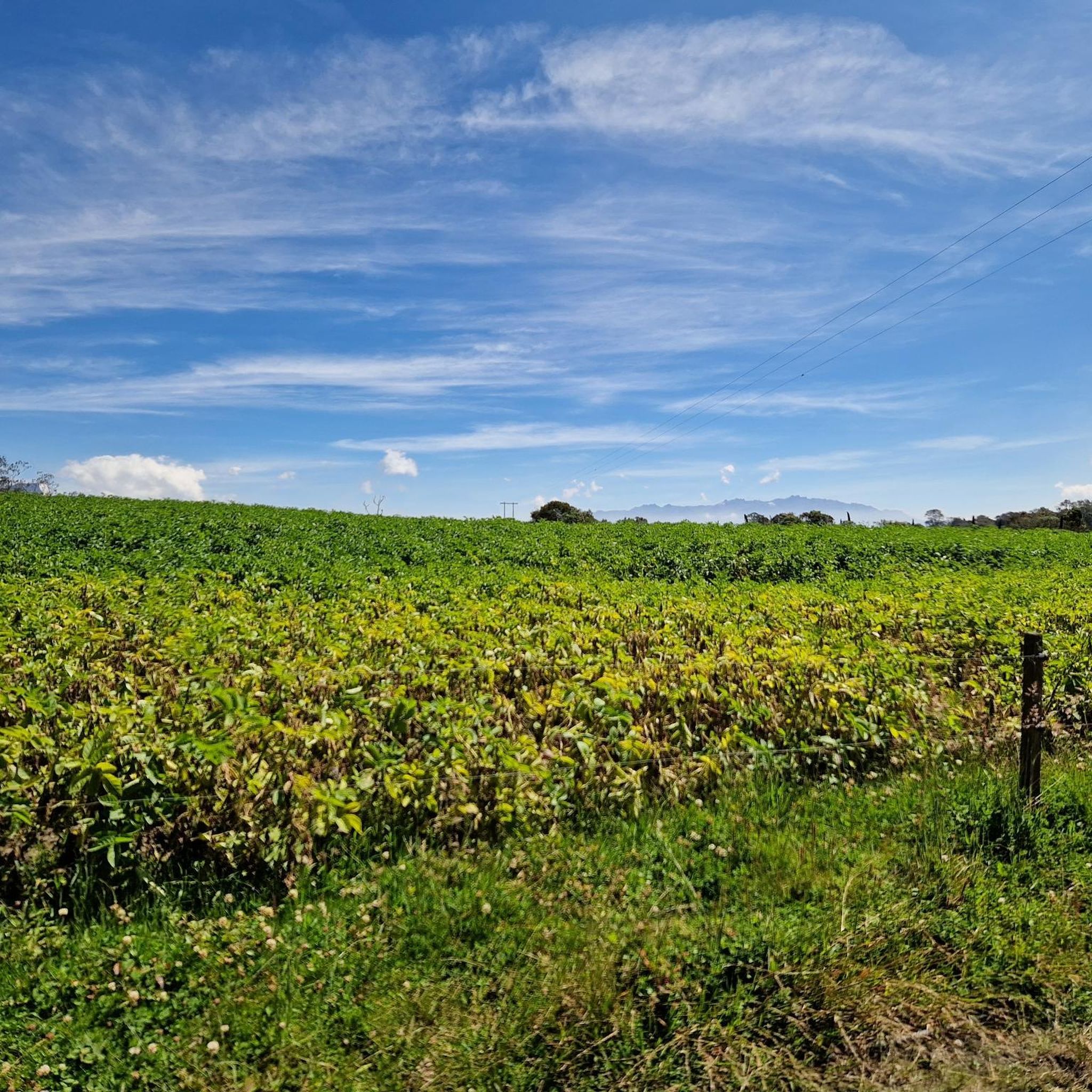
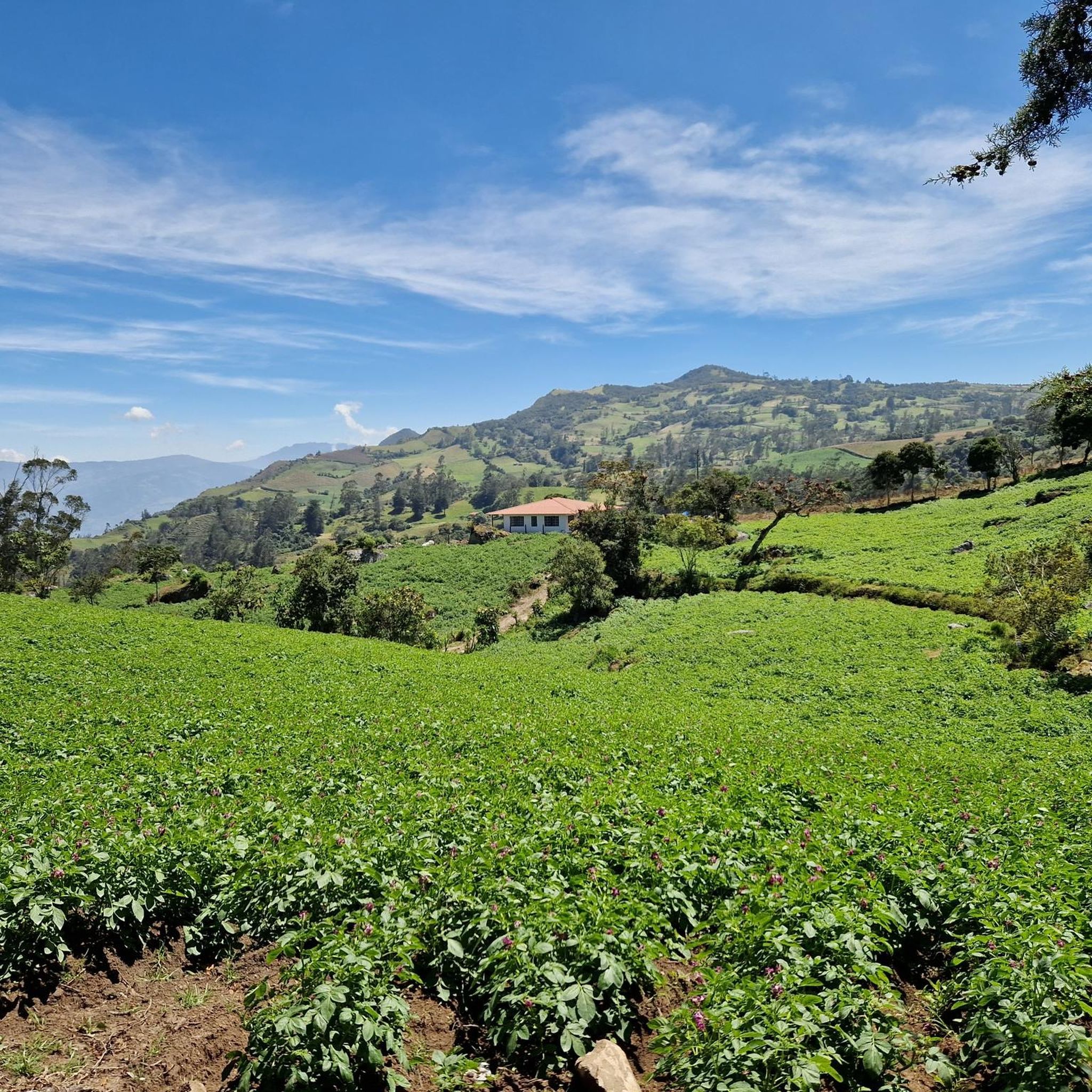
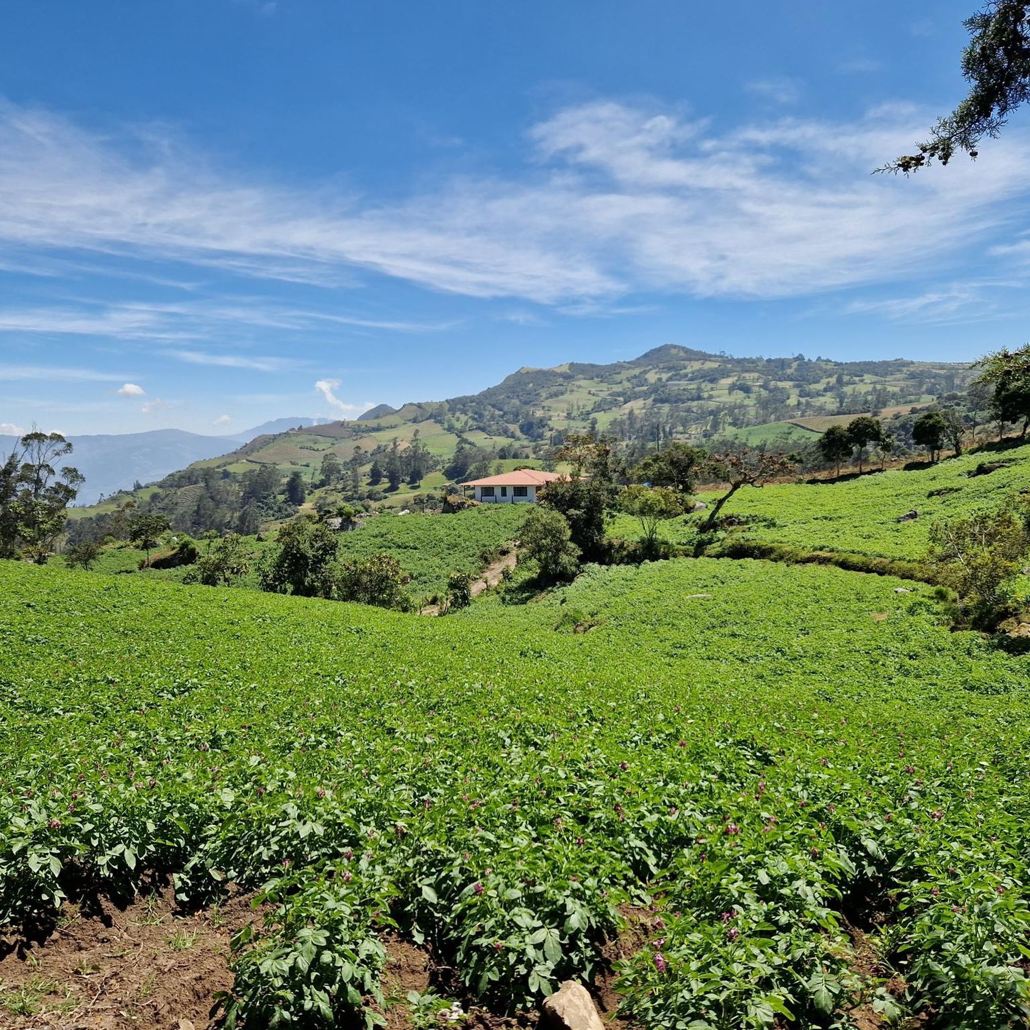
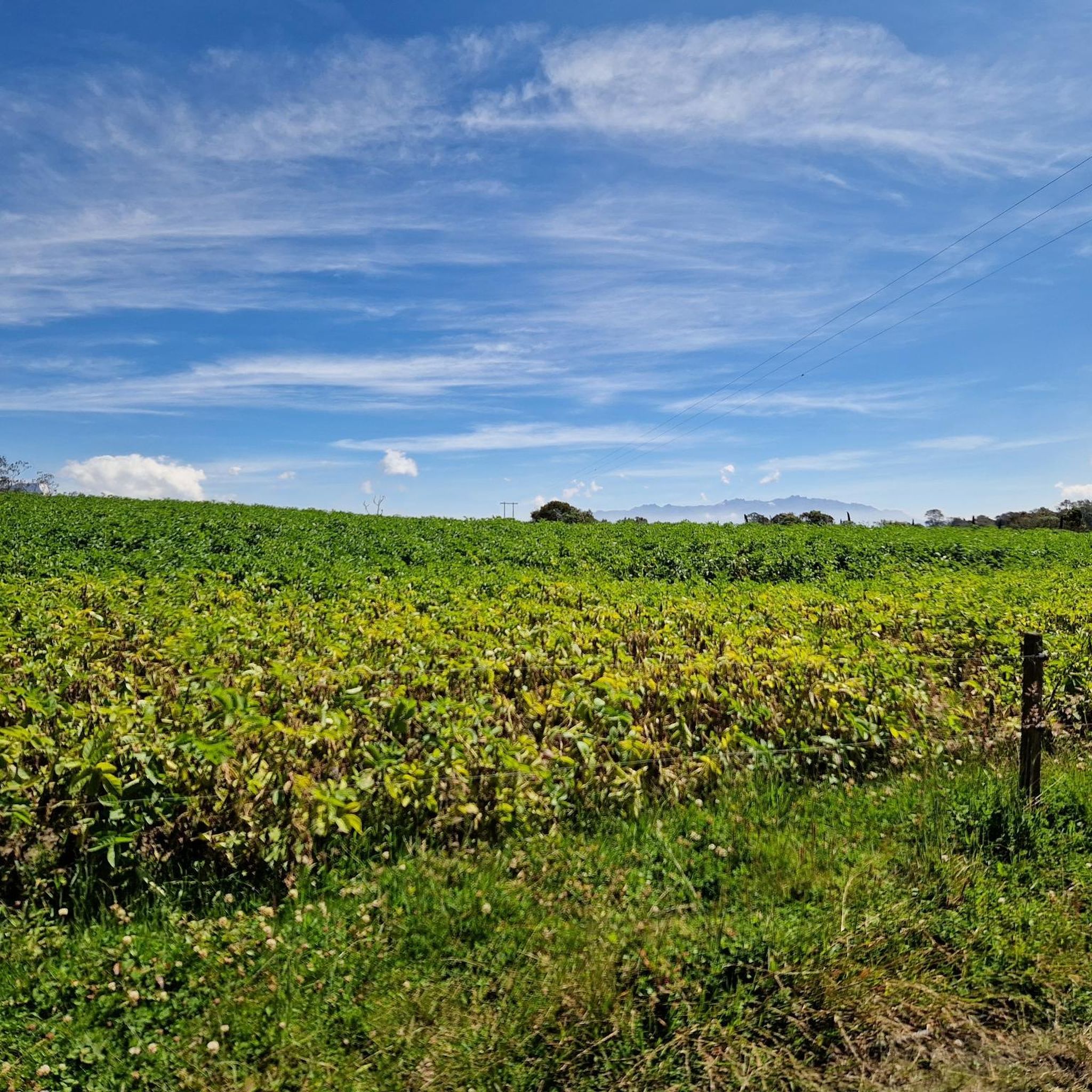
Tips from the Community

The Torre Colpatria is one of Colombia's best-known skyscrapers and features a popular observation deck (Mirador) on the 48th floor. The Mirador is usually open to the public only on weekends and holidays: Fridays: 5:00 PM – 9:00 PM Saturdays: 12:00 PM – 9:00 PM Sundays & Holidays: 11:00 AM – 6:00 PM
0
0
The work titled "Colmena Urbana" (Urban Beehive) features larger-than-life bees and native flora, seemingly emerging from a broken house wall. The mural is a well-known highlight of Bogotá's vibrant street art scene. It is located in the city center, often seen in conjunction with popular cycling routes like the Ciclovía de Bogotá, where many main streets are closed to cars on Sundays. The artwork explores nature amidst the urban environment, depicting bees navigating among colorful flowers like hibiscus.
0
0

At this point along the bike path there are a series of colorful murals that are worth stopping to look at.
0
0
The Primatial Cathedral of Bogotá is a neoclassical temple dedicated to the Immaculate Conception, located in Bolívar Square in the historic district of La Candelaria. Designed by the Capuchin architect Fray Domingo de Petrés, it was built between 1807 and 1823 on the same site as three previous churches that served as cathedrals for the city. Its imposing Latin cross architecture, with five naves and sixteen chapels, houses the 17th-century main altarpiece, marble altars, and is the seat of the Archdiocese of Bogotá. The remains of its founder, Gonzalo Jiménez de Quesada, and Antonio Nariño rest within its walls, solidifying its status as a national monument since 1975 and making it one of the most emblematic Catholic churches in Latin America.
1
0
This street has the typical vibrant atmosphere of Latin culture, street vendors, local shops, and the contrast between traditional and modern architecture.
0
0

The government buildings and the city council are located here. However, much of it is cordoned off by police.
4
1


Bring your own water, don't buy water on the way, it's more expensive.
0
0
Frequently Asked Questions
What types of terrain can I expect on running routes in Ubaqué?
Ubaqué offers a diverse range of terrain for runners. You'll find routes that traverse natural lagoons, prominent hills like Cerro Winto and Cerro de Bocatorta, and varied landscapes. Some paths feature challenging ascents, while others provide more level stretches, catering to different running preferences and fitness levels.
Are there running routes suitable for beginners in Ubaqué?
While the provided routes are categorized as moderate to difficult, Ubaqué generally offers trails for all fitness levels. Easy trails are typically up to two hours long with an elevation gain of up to 1,000 feet, making them accessible for any fitness level. You can explore options around areas like Laguna del Verjón, which has an easy loop from Parque Materredonda.
What are some notable natural landmarks or viewpoints I can see while running in Ubaqué?
Ubaqué is rich in natural beauty. You can encounter significant landmarks such as Monserrate Hill and Guadalupe Hill. The region is also home to the sacred Laguna de Ubaqué and offers routes with views of prominent hills like Cerro Winto and Cerro de Bocatorta, providing picturesque settings for your run.
How long do running routes in Ubaqué typically take to complete?
The duration of running routes in Ubaqué varies significantly. For example, the National Park loop from 2. Fernando Barón S.J. is about 5.9 miles (9.5 km) and takes approximately 1 hour. More challenging routes, like the Road to Monserrate – Avenida El Canal loop from Estación Monserrate Funicular, cover 10.3 miles (16.5 km) and can take around 2 hours.
Are there any circular running routes in Ubaqué?
Yes, Ubaqué features several circular running routes. A popular option is the National Park loop from 2. Fernando Barón S.J., which offers a varied terrain for a steady run. Another favorite is the Murals on 19th Street – Colpatria Tower loop from Estación Monserrate Funicular, providing urban and scenic views.
What do other runners say about the trails in Ubaqué?
The running routes in Ubaqué are highly rated by the komoot community, with an average score of 4.9 stars from 8 reviews. Over 350 runners have used komoot to explore Ubaqué's varied terrain, often praising the diverse landscapes and the mix of challenging and more accessible paths.
Are there any running routes that pass through historical or cultural sites in Ubaqué?
While Ubaqué is known for its natural beauty, some routes offer glimpses into the region's cultural significance. For instance, Laguna de Ubaqué was a sacred Muisca site. Additionally, routes like the Plaza de Bolívar, Bogotá – Primada Cathedral of Bogota loop from Calle 1 can take you past significant landmarks such as Plaza de Bolívar, Bogotá, offering a blend of exercise and cultural exploration.
What is the general difficulty level of running trails in Ubaqué?
The running trails in Ubaqué range from moderate to difficult. You'll find options like the National Park loop from 2. Fernando Barón S.J., which is moderate, to more challenging routes such as the Laguna del Cacique – Alto Los Gavilanes loop from Choachí, which is considered difficult due to its length and elevation gain.
Are there any specific attractions or points of interest near the running routes?
Yes, several attractions are close to the running routes. You can find peaks like Monserrate Hill and Cerro de Guadalupe and Christ the Redeemer Statue, which offer stunning views. Other points of interest include Plaza de Bolívar, Bogotá, and the Botero Museum, providing opportunities for sightseeing before or after your run.
How many running routes are available in Ubaqué?
There are over 10 running routes available in Ubaqué, offering a variety of distances and difficulty levels for joggers. These routes are highly rated by the komoot community, indicating their popularity and quality.
What is the typical elevation gain on Ubaqué's running trails?
Elevation gain varies significantly across Ubaqué's running trails, reflecting the region's hilly terrain. Moderate routes, such as the National Park loop from 2. Fernando Barón S.J., have an elevation gain of around 106 meters. More difficult trails, like the Laguna del Cacique – Alto Los Gavilanes loop from Choachí, can feature over 1300 meters of ascent, requiring good fitness.
Most popular routes in Ubaqué
Most popular attractions in Ubaqué

Get inspired with the komoot mobile app


Explore more
Browse the best Running Trails & Routes in other regions.
