The best road cycling routes in Sibaté
4.8
(56)
503
riders
12
rides
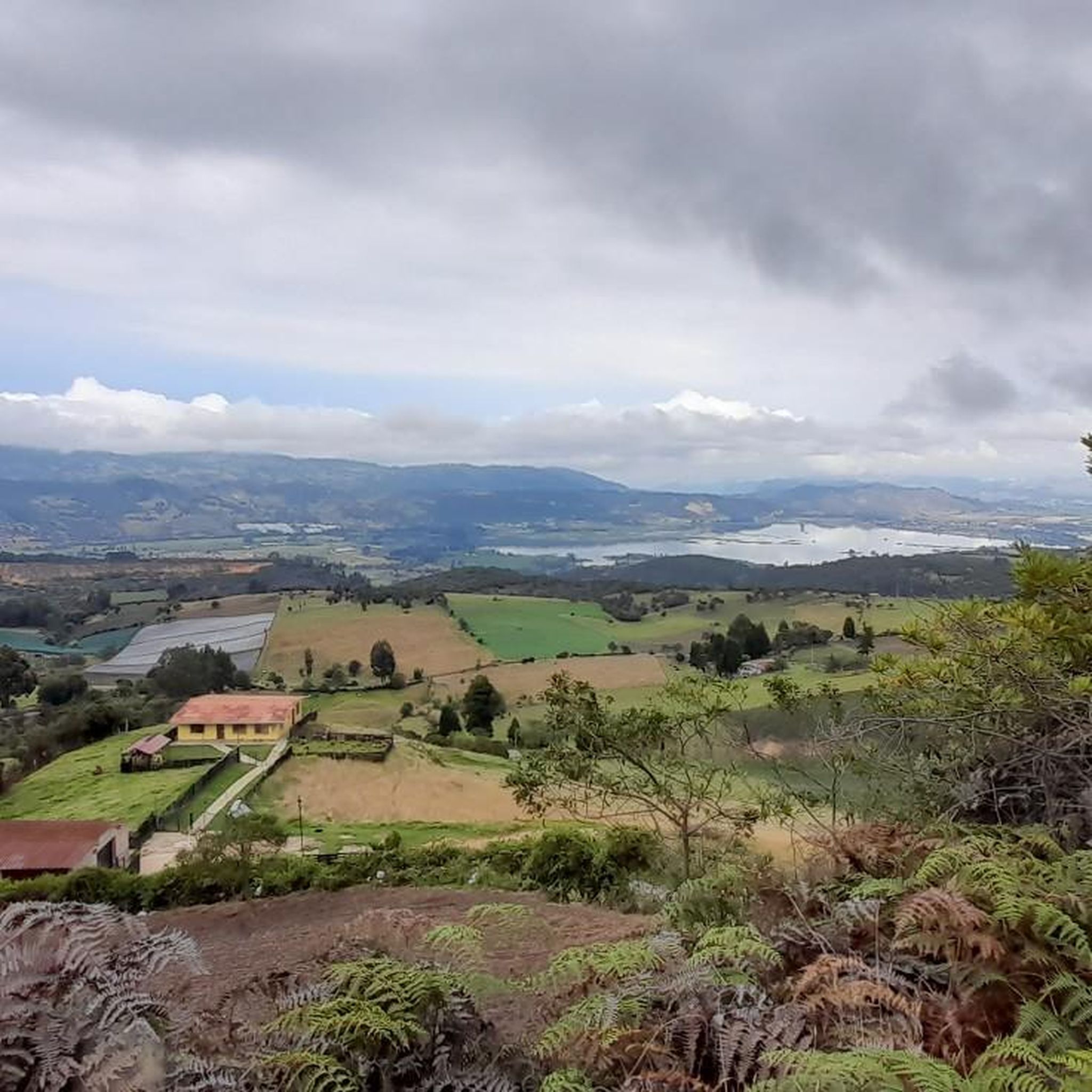
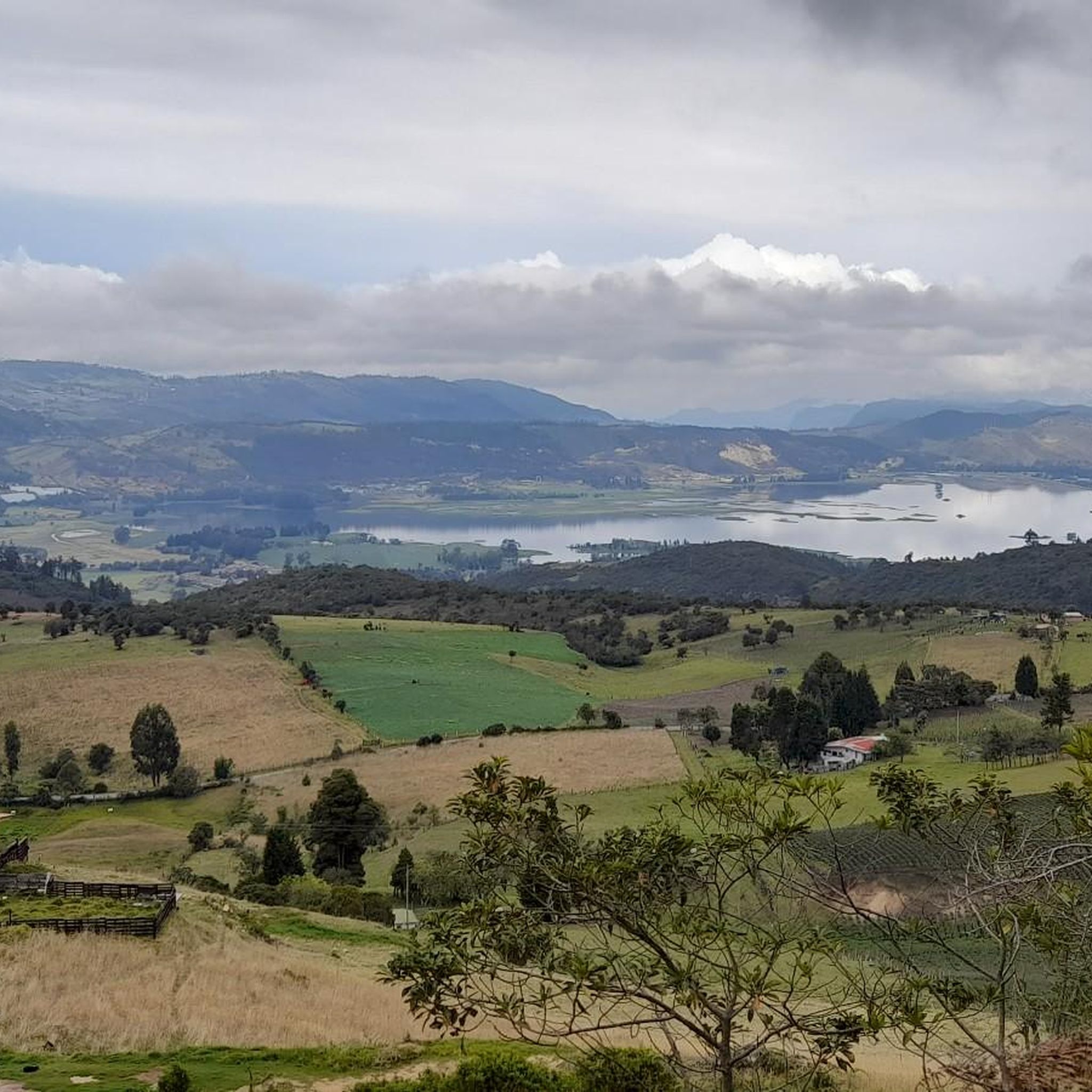
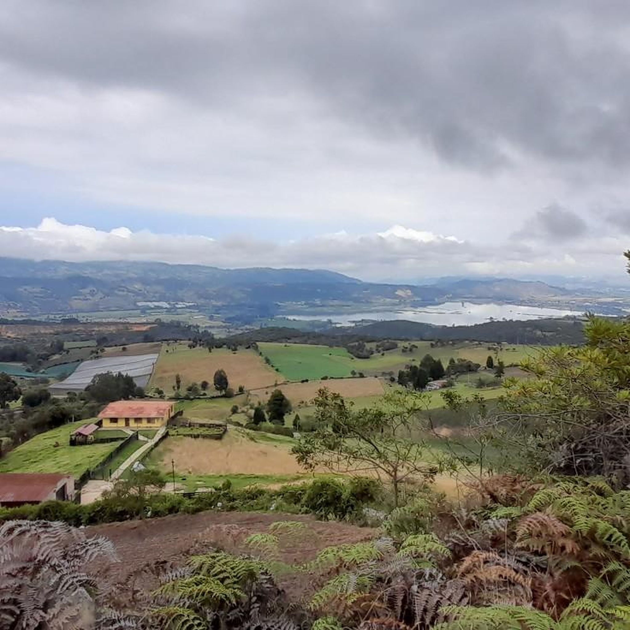
Road cycling in Sibaté, a municipality in Cundinamarca, Colombia, offers diverse topography with constant ascents, descents, and undulating sections. The region is characterized by its mountainous terrain, featuring well-paved roads and challenging climbs. Cyclists encounter varied landscapes, including cloud forests and views of the Embalse del Muña. The Andean mountainous terrain provides routes with significant elevation gains, catering to different cycling skill levels.
Best road cycling routes in Sibaté
- The most popular road cycling route is Sixth Stop – Tequendama…
Last updated: July 11, 2026
4.8
(34)
171
riders
46.3km
02:24
760m
760m
Moderate road ride. Good fitness required. Mostly well-paved surfaces and easy to ride.
4.9
(9)
134
riders
94.0km
04:56
1,630m
1,630m
Hard road ride. Very good fitness required. Mostly well-paved surfaces and easy to ride.

Sign up for free
33
riders
42.8km
03:13
780m
780m
Moderate road ride. Good fitness required. Some segments of this route may be unpaved and difficult to ride.
5.0
(1)
30
riders
50.3km
03:12
540m
540m
Moderate road ride. Good fitness required. Some segments of this route may be unpaved and difficult to ride.
4.3
(3)
23
riders
18.5km
00:50
210m
210m
Easy road ride. Great for any fitness level. Mostly well-paved surfaces and easy to ride.
Get access to more routes and recommendations from other explorers.
Sign up for free
Already have an account?
Our route recommendations are based on thousands of hikes, rides, and runs completed by other people on komoot.
Start today with a free account
Your next adventure awaits.
Login or Signup
Popular around Sibaté
Tips from the Community

Don't forget to bring moisturizer.
0
0

It's a tough route. You need to be in good shape. Those who say it's a walk in the park or an easy climb are the ones who drive cars or ride motorcycles. They sit comfortably, sleep, and don't feel a thing.
0
0

The drinks are expensive, and the air is polluted. The road is narrow; you have to be careful of the vehicles.
0
0

Alto de San Miguel distance from Sibate to the toll 7Km moderate climb. On weekends, the road is very busy so be very careful with vehicles. There are safer alternative routes for making the journey by MTB.
0
0
Weekend very busy no bad early on the morning. To much traffic now a days.
0
0

Beautiful landscapes and delicious desserts
0
0
be careful with the cars now a days is a high busy road.
0
0

Super recommended for camping, super nice view, super attentive and an excellent MTB track with various levels of difficulty
0
0
Frequently Asked Questions
What kind of terrain can I expect on road cycling routes in Sibaté?
Sibaté offers a diverse topography with constant ascents, descents, and undulating sections. The region is mountainous, featuring well-paved roads, though some segments may be unpaved. You'll encounter varied landscapes, including cloud forests and picturesque views of the Embalse del Muña, providing a dynamic and challenging riding experience.
Are there road cycling routes suitable for beginners in Sibaté?
Yes, Sibaté caters to various fitness levels. While many routes feature challenging climbs, there are options for easier rides. For instance, the Alto de San Miguel Ascent loop from Sibaté is an easy 18.5 km trail with moderate elevation gain, perfect for those looking for a less demanding experience.
What are some popular scenic road cycling routes in Sibaté?
Many routes in Sibaté offer rewarding views. The Tequendama Falls loop from Centro de Tecnologías para la Construcción y la Madera (SENA) is a popular 53 km route known for its scenic vistas. Another noteworthy option is the Mirador del Salto – Humedal Cola de Tierra Blanca loop from Soacha, which provides a great exploration of the region's landscapes.
Are there any challenging climbs for experienced road cyclists in Sibaté?
Absolutely. Sibaté is known for its demanding ascents that test even experienced cyclists. The Alto de San Miguel is a significant draw, offering changing inclines and rewarding views. Routes like the Alto de San Miguel – Alto de San Miguel loop from Soacha provide substantial elevation gains and are ideal for those seeking a rigorous workout.
What natural attractions can I see while road cycling in Sibaté?
The region boasts several natural features. Many routes offer views of the Embalse del Muña, a significant landscape feature. You might also encounter cloud forests and panoramic mountain vistas. The famous Tequendama Falls are a prominent landmark and part of a popular cycling loop.
Are there any circular road cycling routes in Sibaté?
Yes, many of Sibaté's road cycling routes are designed as loops, allowing you to start and finish at the same point. Examples include the Tequendama Falls loop and the Alto de San Miguel Ascent loop, providing convenient options for exploration.
What do other road cyclists say about the routes in Sibaté?
The road cycling routes in Sibaté are highly rated by the komoot community, with an average score of 4.6 stars from over 80 reviews. Cyclists often praise the diverse topography, challenging climbs, and the rewarding views of the mountainous landscape and Embalse del Muña.
What is the best time of year for road biking in Sibaté?
Sibaté's climate, transitioning from warmer to cooler conditions over its routes, offers a dynamic riding experience year-round. However, for optimal conditions, it's generally advisable to check local weather forecasts, especially regarding rainfall, as the cloud forest ecosystems are characterized by humid conditions.
Are there places to eat or rest near the road cycling routes in Sibaté?
Yes, along some routes, especially during descents from areas like San Miguel, you can find stalls selling local treats such as strawberries with cream. Additionally, the region has local establishments. For example, La Aguadita is a restaurant highlighted in the area that could serve as a stop.
How many road cycling routes are available in Sibaté?
There are over 10 road cycling routes documented in Sibaté, offering a variety of distances and difficulty levels. This includes 2 easy routes, 8 moderate routes, and 1 difficult route, ensuring options for all types of road cyclists.
Can I find routes that pass through villages or settlements in Sibaté?
Yes, some routes may pass near or through local settlements, offering a glimpse into the regional life. For instance, highlights like Pasquilla Village and Pasca are points of interest in the broader Sibaté area that could be explored in conjunction with cycling routes.
What kind of elevation gain can I expect on Sibaté's road cycling routes?
Sibaté's mountainous terrain means you can expect significant elevation gains. Routes vary, but even moderate ones like the Tequendama Falls loop can feature over 700 meters of ascent, while challenging climbs like the Alto de San Miguel can involve even steeper and more prolonged inclines.
Most popular routes in Sibaté
Most popular attractions in Sibaté

Get inspired with the komoot mobile app


Explore more
Browse the best Road cycling routes in other regions.
