
The best running trails in Sesquilé
4.5
(18)
256
runners
13
runs
Jogging in Sesquilé offers diverse routes through a landscape characterized by rolling hills and the expansive Embalse del Tomine. The region provides varied terrain, from paths winding around the reservoir to trails ascending into higher elevations. Runners can explore rural areas and enjoy views of the surrounding natural environment.
Best jogging routes in Sesquilé
- The most popular jogging route is Embalse del Tomine loop from Vereda Montecillo, a 12.0 miles (19.4 km) trail that takes 2 hours 36 minutes…
Last updated: July 15, 2026
5.0
(1)
77
runners
19.4km
02:36
770m
770m
Hard run. Very good fitness required. Mostly paved surfaces. Suitable for all skill levels.
3.9
(13)
32
runners
9.36km
01:05
220m
220m
Moderate run. Good fitness required. Mostly paved surfaces. Suitable for all skill levels.

Sign up for free
23
runners
11.2km
01:32
380m
380m
Hard run. Very good fitness required. Mostly accessible paths. Some sure footedness required.
16
runners
7.27km
00:54
230m
230m
Moderate run. Good fitness required. Mostly paved surfaces. Suitable for all skill levels.
4.0
(2)
14
runners
8.63km
00:59
210m
210m
Moderate run. Good fitness required. Mostly paved surfaces. Suitable for all skill levels.
Get access to more routes and recommendations from other explorers.
Sign up for free
Already have an account?
Our route recommendations are based on thousands of hikes, rides, and runs completed by other people on komoot.
Start today with a free account
Your next adventure awaits.
Login or Signup

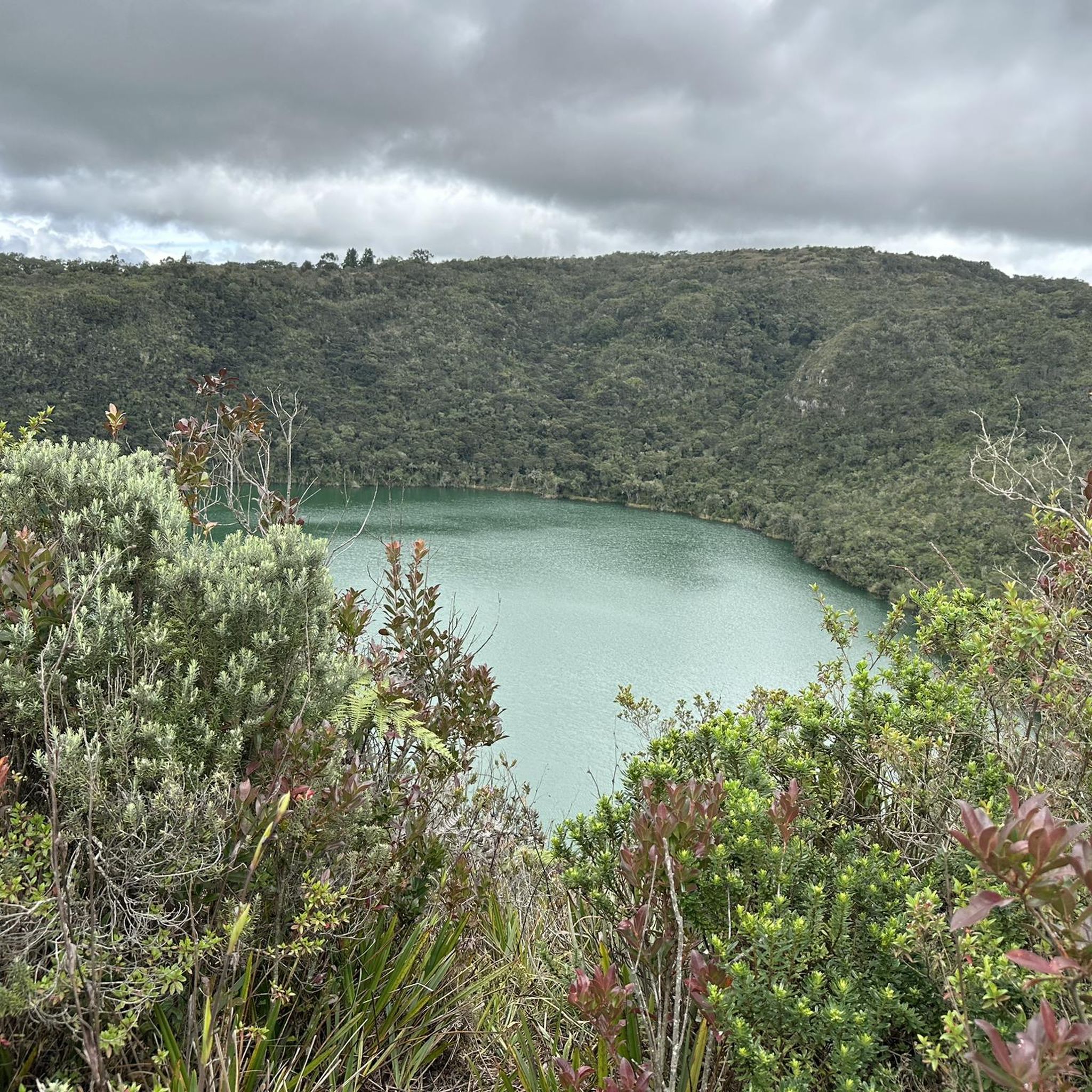
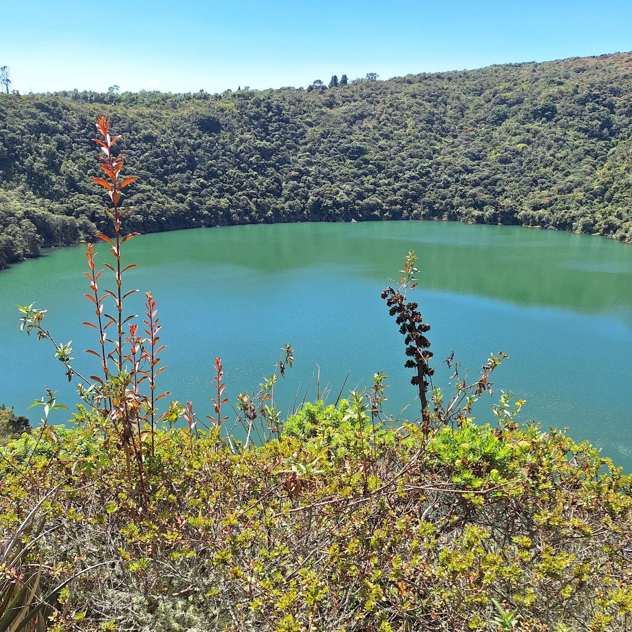
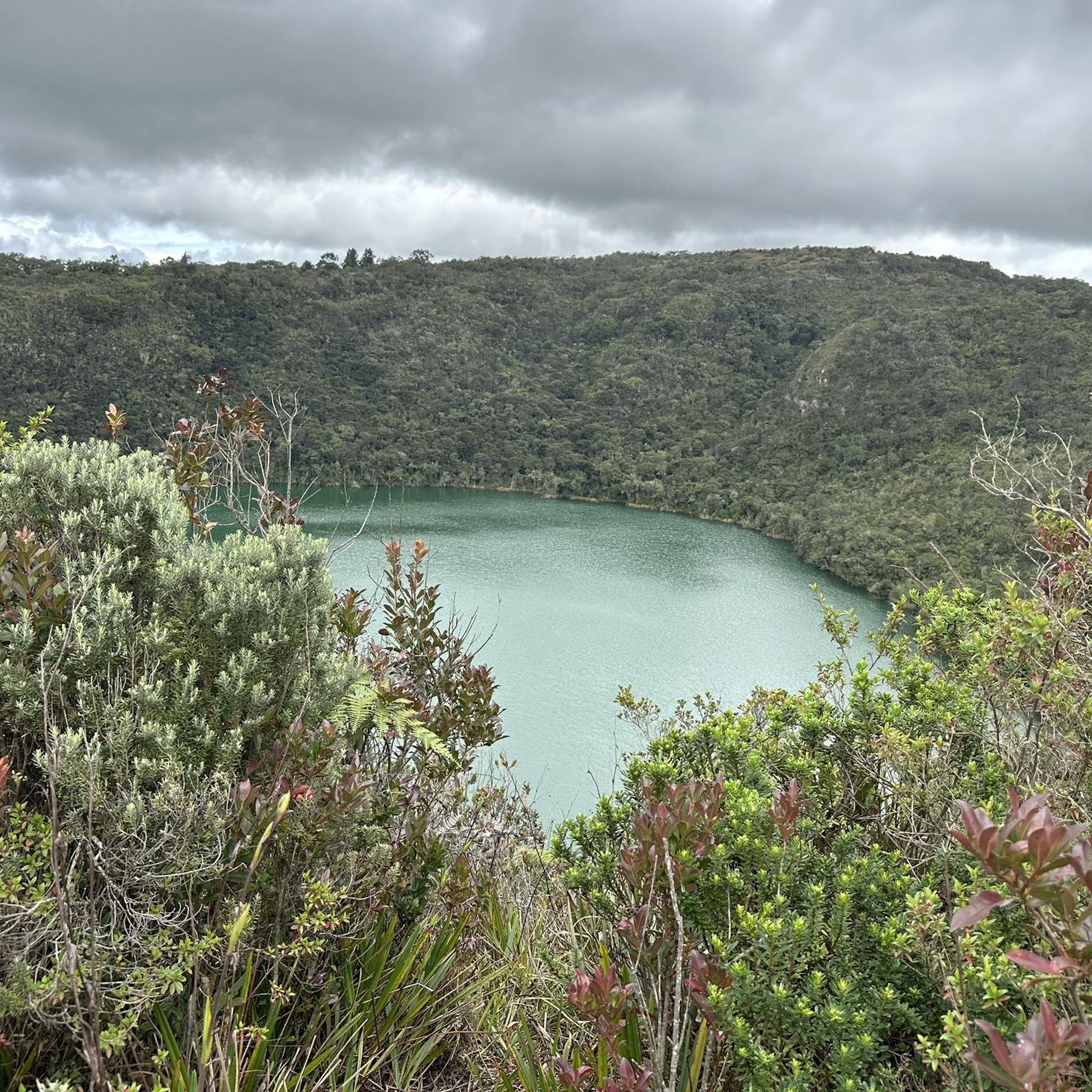
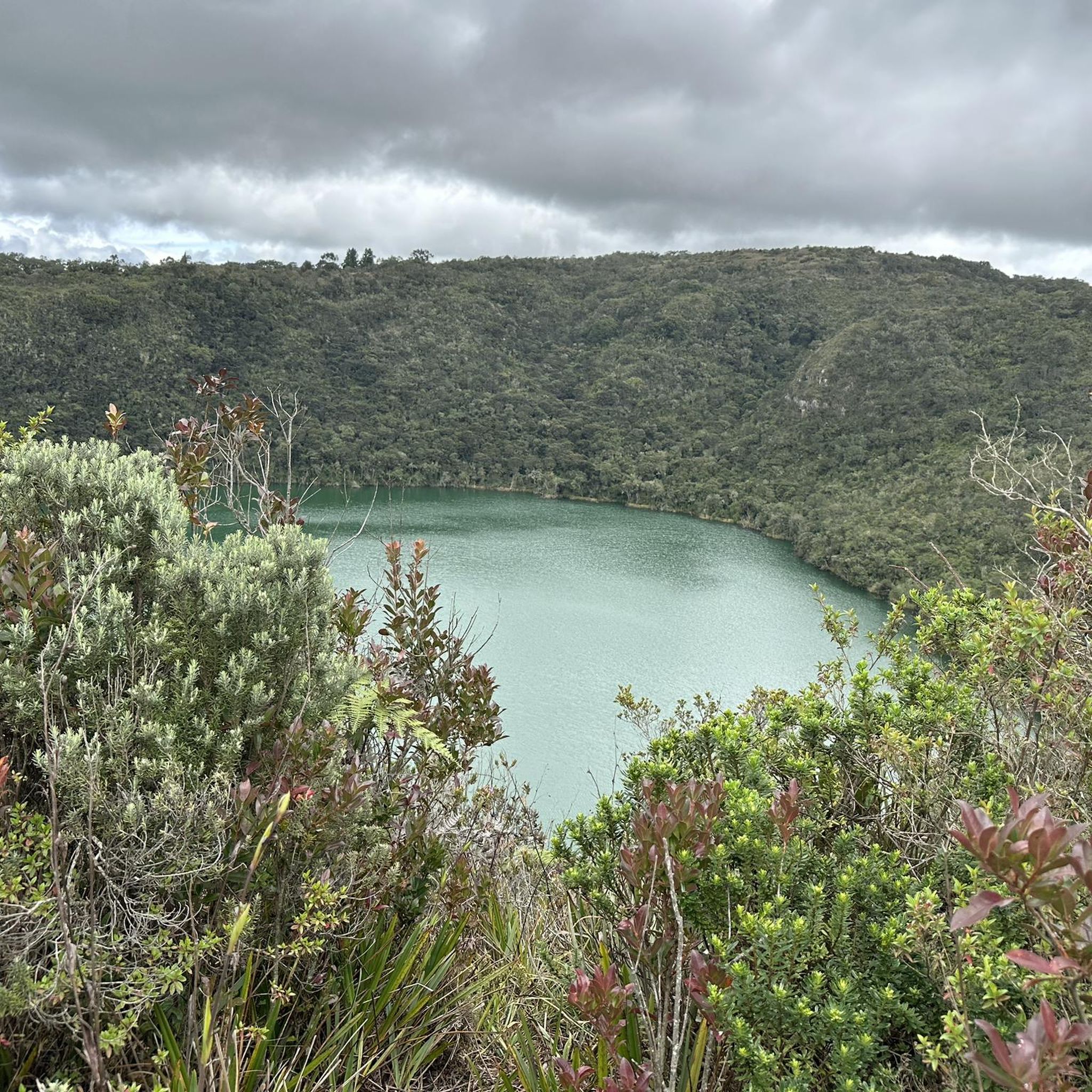

Other adventures in Sesquilé

Frequently Asked Questions
How many running routes are available in Sesquilé?
Sesquilé offers a selection of 13 running routes. These trails cater to various fitness levels, with options ranging from moderate to difficult.
What kind of terrain can I expect on running trails in Sesquilé?
The running trails in Sesquilé feature diverse terrain, including paths winding around the expansive Embalse del Tomine, rural landscapes, and undulating hills. You'll find a mix of reservoir-side paths and trails ascending into higher elevations, offering varied challenges and scenic views.
Are there any circular running routes in Sesquilé?
Yes, many of the running routes in Sesquilé are circular. For example, the Running loop from Estación Nemocon is a popular moderate circular path, and the Running loop from Vereda Montecillo offers a longer, more challenging circular experience through rural areas.
What are some points of interest or attractions I might see while running in Sesquilé?
While running in Sesquilé, you can encounter several notable attractions. Many routes offer views of the magnificent Tominé Reservoir. Other points of interest include the Alto del Sisga and the Boyacá Bridge, which also provides views of the reservoir.
Are there routes suitable for beginners or those looking for an easier run?
While Sesquilé's running routes are generally rated as moderate to difficult, there are options like the Running loop from Marina de Guatavita, which is a moderate 7.3 km trail. This route provides a good option for those seeking a less strenuous experience compared to the more challenging long-distance trails.
What is the overall rating for running routes in Sesquilé?
The running routes in Sesquilé are highly regarded by the komoot community, boasting an average rating of 4.3 out of 5 stars from more than 10 reviews. Runners frequently praise the varied terrain and scenic views, especially around the reservoir.
Can I bring my dog on the running trails in Sesquilé?
Many outdoor trails in rural areas like Sesquilé are generally dog-friendly, especially if your dog is well-behaved and kept on a leash. However, it's always recommended to check local signage or specific route details for any restrictions, particularly in protected natural areas or private lands.
Is parking available near the running routes in Sesquilé?
Parking availability varies by trailhead. For routes starting from specific villages or popular access points around the Embalse del Tomine, you can often find designated parking areas or roadside spots. It's advisable to check the starting point of your chosen route for specific parking information.
What are the typical distances for running routes in Sesquilé?
Running routes in Sesquilé vary significantly in length. You can find shorter, moderate trails around 7 to 9 kilometers, such as the Nemocón Salt Mine loop from Estación Nemocon (8.6 km). For longer, more challenging runs, there are options like the Embalse del Tomine loop from Vereda Montecillo, which spans over 19 kilometers.
How do the running routes in Sesquilé compare to those in Guatavita?
Both Sesquilé and Guatavita offer excellent running opportunities, often centered around their respective reservoirs. Sesquilé's routes frequently feature extensive views of the Embalse del Tomine and rural landscapes. Guatavita, while nearby, is famous for its connection to the legendary Lake Guatavita, offering a different historical and natural focus. Both regions provide varied terrain for runners.
Are there opportunities for wildlife spotting while running in Sesquilé?
Given Sesquilé's rural setting and proximity to the Embalse del Tomine, there are indeed opportunities to observe local wildlife. Runners might spot various bird species, especially near the reservoir, and other small animals common to the Andean high plateau. Early mornings or late afternoons are often the best times for wildlife viewing.
Most popular attractions in Sesquilé

Get inspired with the komoot mobile app


Explore more
Browse the best Running Trails & Routes in other regions.
