The best road cycling routes in Lenguazaque
5.0
(5)
146
riders
7
rides
Road cycling routes in Lenguazaque, a municipality in Cundinamarca, Colombia, traverse a region characterized by its high plateau location within the Colombian Andes. The area features varied elevation changes, with mountains and lush greenery providing a scenic backdrop for rides. Cyclists can expect routes that navigate through diverse landscapes, including the Lenguazaque River basin and the unique Páramo de Peñalisa. This terrain offers both challenging climbs and exhilarating descents.
Best road cycling routes in Lenguazaque
- The most popular road cycling…
Last updated: July 15, 2026
31
riders
115km
06:21
2,200m
2,200m
Hard road ride. Very good fitness required. Some segments of this route may be unpaved and difficult to ride.
11
riders
42.1km
02:02
480m
480m
Moderate road ride. Good fitness required. Mostly well-paved surfaces and easy to ride.

Sign up for free
10
riders
56.8km
02:36
410m
410m
Moderate road ride. Good fitness required. Mostly well-paved surfaces and easy to ride.
8
riders
100km
05:06
1,090m
1,090m
Hard road ride. Very good fitness required. Some segments of this route may be unpaved and difficult to ride.
5
riders
21.8km
01:11
270m
270m
Easy road ride. Great for any fitness level. Mostly well-paved surfaces and easy to ride.
Get access to more routes and recommendations from other explorers.
Sign up for free
Already have an account?
Our route recommendations are based on thousands of hikes, rides, and runs completed by other people on komoot.
Start today with a free account
Your next adventure awaits.
Login or Signup
Popular around Lenguazaque
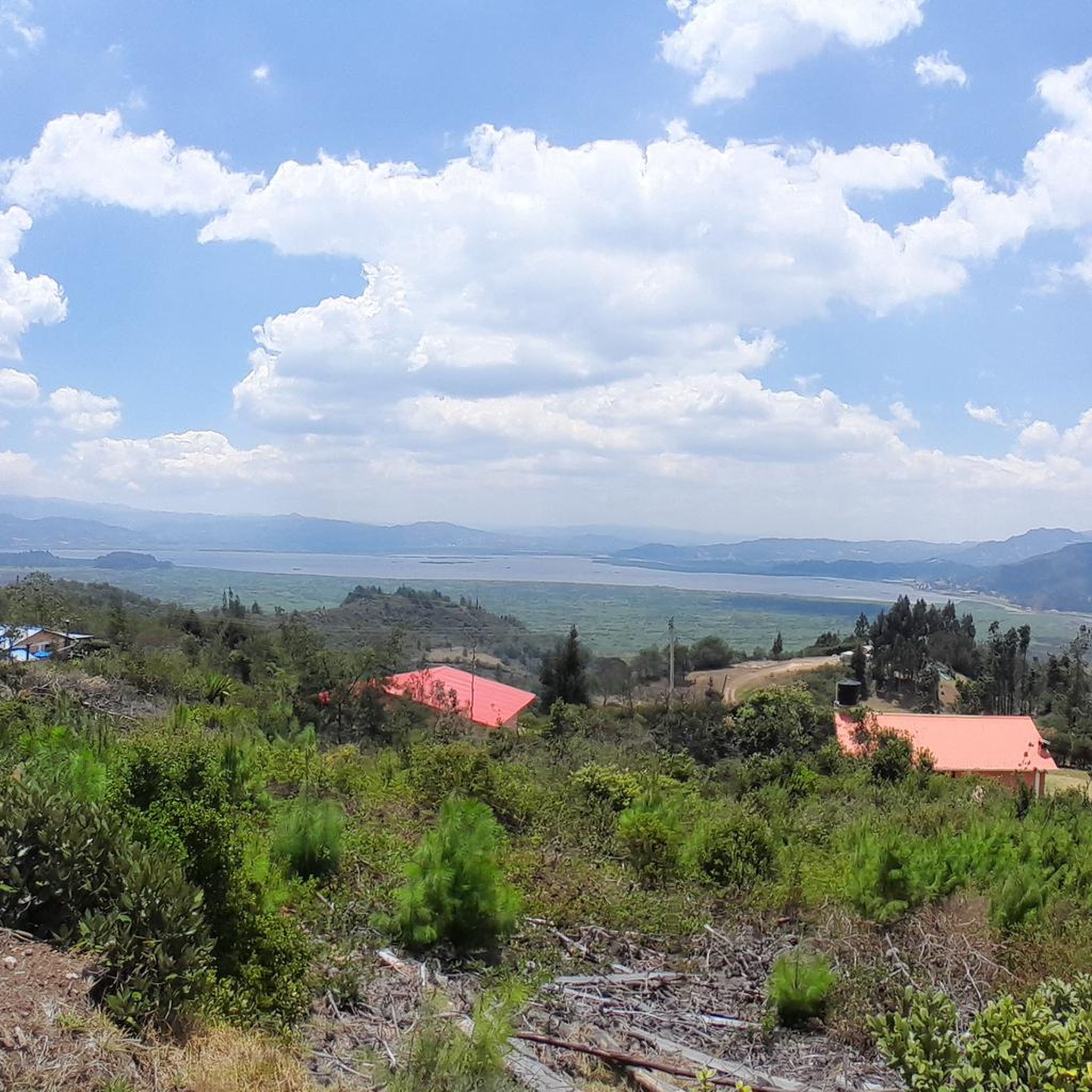
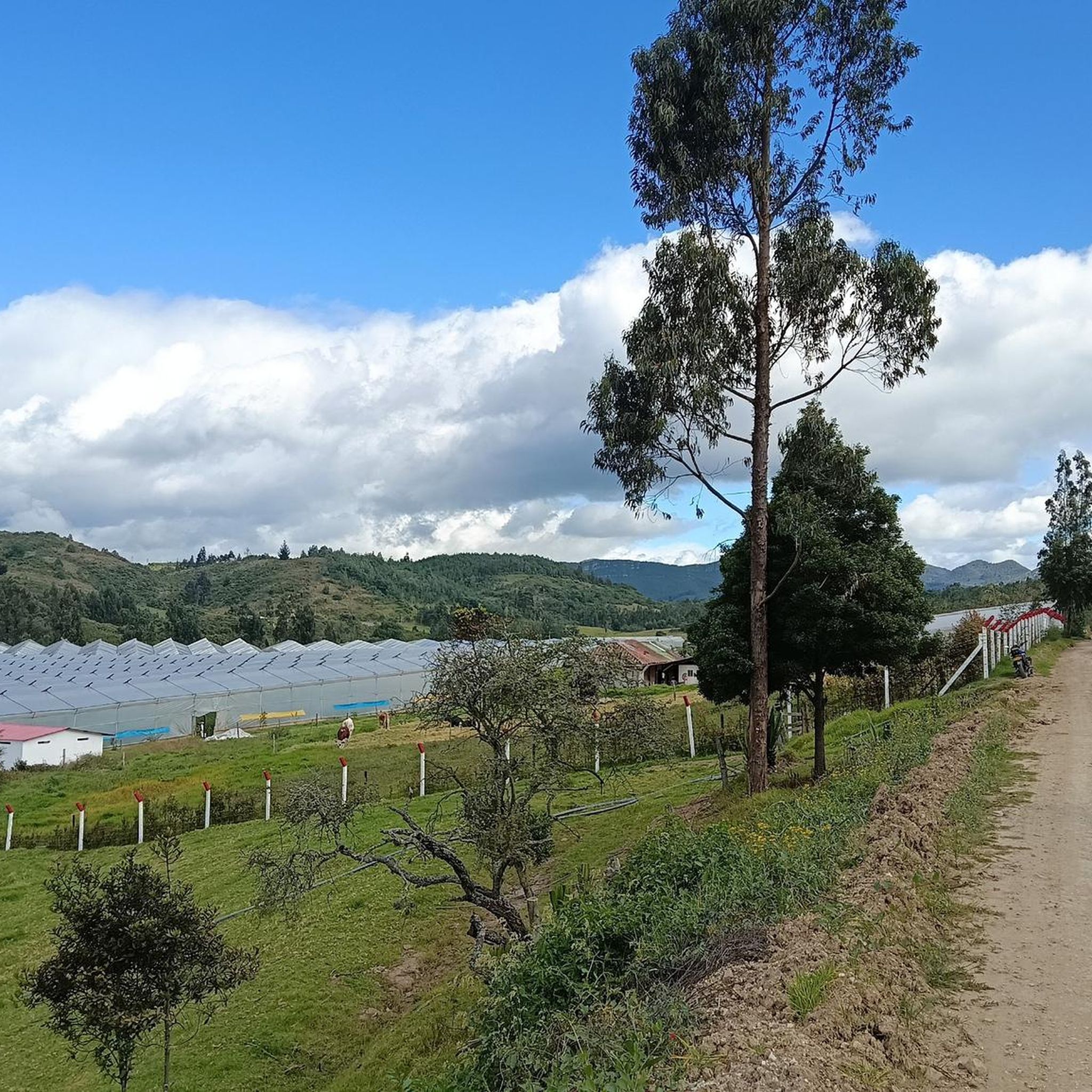

Tips from the Community

Super route, very manageable slope, short, good weather, good places to have breakfast, at a good price. Road in very good condition, respectful vehicular traffic.
0
0
Stop to refuel and regroup on the way back from Macheta. Ask BEFORE ordering food, prices according to "pig" EYE...
0
0
Safe route, good training, final slope at a good pace, very busy with cyclists.
0
0

Drinking supplies, food and hot drinks, beer. On cold and rainy days it is a salvation.
0
0
paved road that goes down from the detour of the 45 towards Machetá, Guateque and further down to the plains, passing through the CHIVOR tunnels
0
0
the best curd arepas in the area are at this intersection. ideal place for breakfast or a snack.
0
0
Going up from simijaca 10km, hard ramps above 15%. paved road in fair condition, many holes
0
0
Frequently Asked Questions
How many road cycling routes are available in Lenguazaque?
There are currently 7 road cycling routes available in Lenguazaque on komoot, offering a range of difficulties from easy to difficult.
What kind of terrain can I expect on road cycling routes in Lenguazaque?
Lenguazaque, situated within the Colombian Andes, features diverse terrain. You can expect significant elevation changes with routes traversing mountains, lush green areas, and river valleys like the Lenguazaque River basin. The region also includes unique high-altitude ecosystems such as the Páramo de Peñalisa, providing varied and scenic backdrops for your rides.
Are there routes suitable for beginners or those looking for an easier ride?
Yes, Lenguazaque offers routes for various skill levels. For an easier option, consider the Tausavita Trail – Sutatausa loop from Ubaté. This route is 21.8 km long with moderate elevation gain, making it a good choice for those seeking a less challenging experience.
What are some challenging road cycling routes in the Lenguazaque area?
For experienced cyclists seeking a challenge, the View of the Sisga Reservoir – Machetá Town Sign loop from Villapinzón is a difficult route spanning 115.3 km with over 2,100 meters of elevation gain. Another demanding option is the Climb from Simijaca – View of Laguna de Fúquene loop from Estación Guachetá - La Isla, which covers 99 km with over 1,000 meters of ascent.
Are there any scenic viewpoints or natural attractions along the cycling routes?
Yes, the region is rich in natural beauty. Routes often provide extensive views of significant bodies of water like the Sisga Reservoir and Laguna de Fúquene. The area also boasts natural features such as the Baloncitos Waterfall (Cascada Baloncitos) and the unique Páramo de Peñalisa, offering stunning landscapes to enjoy during your ride.
What is the best time of year to go road cycling in Lenguazaque?
The Altiplano Cundiboyacense, where Lenguazaque is located, generally experiences a mild climate year-round due to its high altitude. While specific cycling seasons can vary, the region typically has two rainy seasons and two dry seasons. For the most comfortable riding conditions, consider visiting during the drier periods, though local weather can be unpredictable in mountainous areas.
Are there any circular road cycling routes available?
Many of the routes in Lenguazaque are designed as loops, allowing you to start and end in the same location. Examples include the Laguna de Fúquene – View of Laguna de Fúquene loop from Ubaté and the View of Fúquene – Fúquene Town Center loop from Ubaté, both offering scenic circular journeys.
What do other road cyclists enjoy most about cycling in Lenguazaque?
The area is highly rated by the komoot community, with an average score of 5.0 stars. Cyclists often praise the varied elevation changes, the stunning natural landscapes including mountains and lush greenery, and the opportunity to experience the 'Colombia experience' of diverse sceneries and climate zones.
Are there options for family-friendly road cycling in Lenguazaque?
While many routes feature significant elevation, some shorter and less strenuous options may be suitable for families with older children or those comfortable with moderate distances. The Tausavita Trail – Sutatausa loop from Ubaté is an easy route that could be considered, depending on the family's cycling experience.
Where can I find information about public transport or parking for cyclists in Lenguazaque?
Lenguazaque is approximately 116 kilometers from Bogotá. While specific public transport options for cyclists with bikes may require local inquiry, many regional bus services connect towns in Cundinamarca. For detailed information on getting to Lenguazaque, you may consult local transport providers or the official Cundinamarca government tourism site: cundinamarca.gov.co. Parking facilities for cyclists are typically available in the town centers.
Are there cafes or restaurants near the road cycling routes in Lenguazaque?
As you cycle through the region, you'll likely encounter quaint towns and local communities. These often provide opportunities to find cafes and restaurants where you can refuel and experience local culture. It's advisable to carry sufficient water and snacks, especially on longer routes, as amenities might be spread out.
Are there any permits or special regulations required for cycling in Lenguazaque?
Generally, no special permits are required for road cycling on public roads in Lenguazaque. However, if you plan to venture into protected natural areas, such as the Páramo de Peñalisa, it's always wise to check for any specific regulations or access restrictions that might apply to those ecosystems.
Most popular routes in Lenguazaque

Get inspired with the komoot mobile app


Explore more
Browse the best Road cycling routes in other regions.
