The best cycling routes in La Calera
4.7
(932)
13,661
riders
24
rides
Touring cycling in La Calera features routes through the mountainous terrain of the Eastern Andes, characterized by significant elevation changes and high-altitude landscapes. The region includes areas near the Chingaza National Natural Park, offering diverse environments from protected river zones to challenging summit climbs. Riders can expect a mix of open roads and winding paths that traverse hills and valleys.
Best touring cycling routes in La Calera
- The most popular touring cycling route is Guasca – Alto de La Cuchilla…
Last updated: July 5, 2026
5.0
(2)
235
riders
91.4km
06:35
1,740m
1,740m
Hard bike ride. Very good fitness required. Mostly paved surfaces. Suitable for all skill levels.
4.3
(3)
171
riders
56.0km
04:05
1,120m
1,120m
Hard bike ride. Very good fitness required. Mostly paved surfaces. Suitable for all skill levels.

Sign up for free
4.6
(23)
97
riders
27.2km
01:57
570m
570m
Hard bike ride. Very good fitness required. Mostly paved surfaces. Suitable for all skill levels.
65
riders
36.1km
03:58
1,130m
1,130m
Hard bike ride. Very good fitness required. Mostly paved surfaces. Suitable for all skill levels.
5.0
(1)
31
riders
45.6km
03:04
600m
600m
Hard bike ride. Very good fitness required. Mostly paved surfaces. Suitable for all skill levels.
Get access to more routes and recommendations from other explorers.
Sign up for free
Already have an account?
Our route recommendations are based on thousands of hikes, rides, and runs completed by other people on komoot.
Start today with a free account
Your next adventure awaits.
Login or Signup

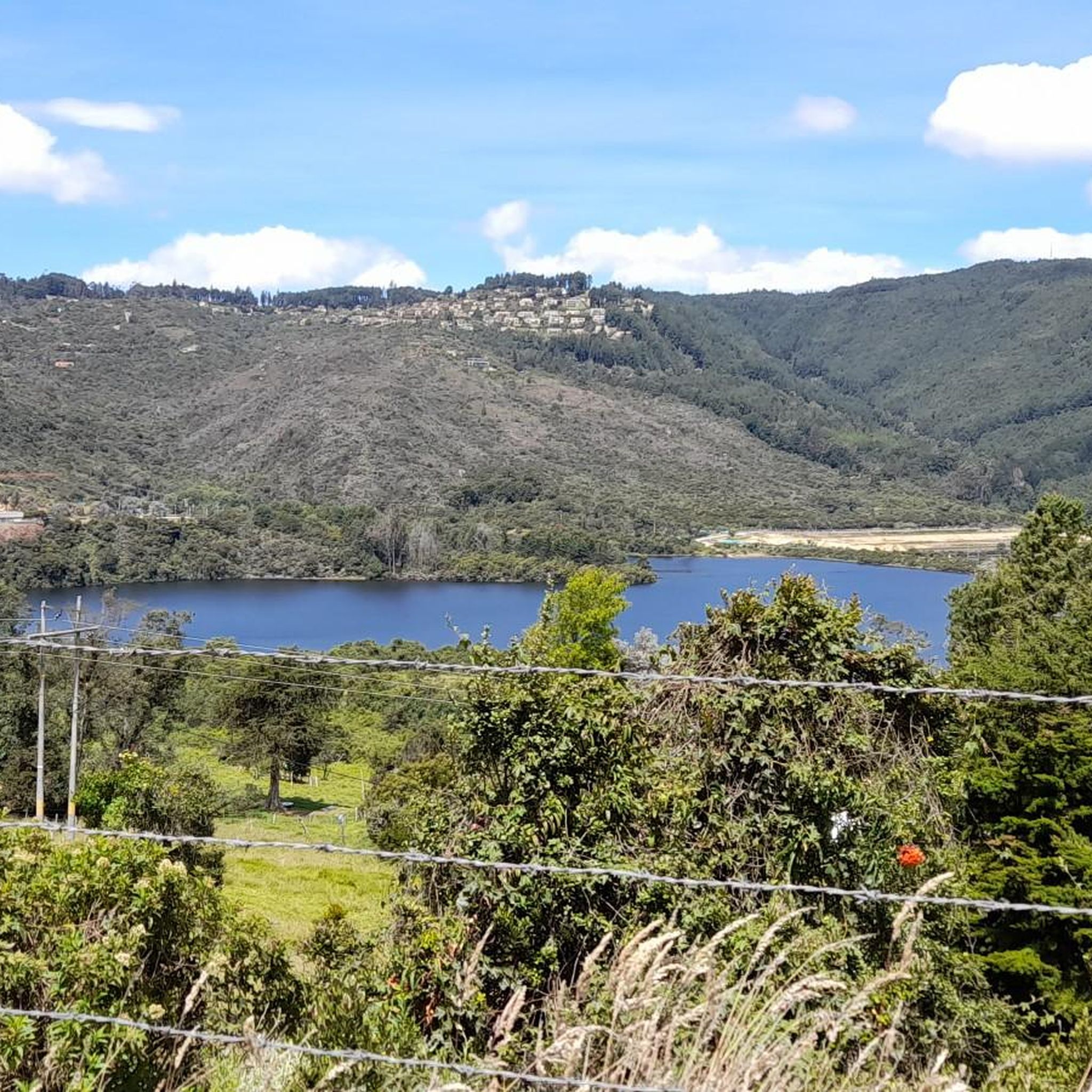
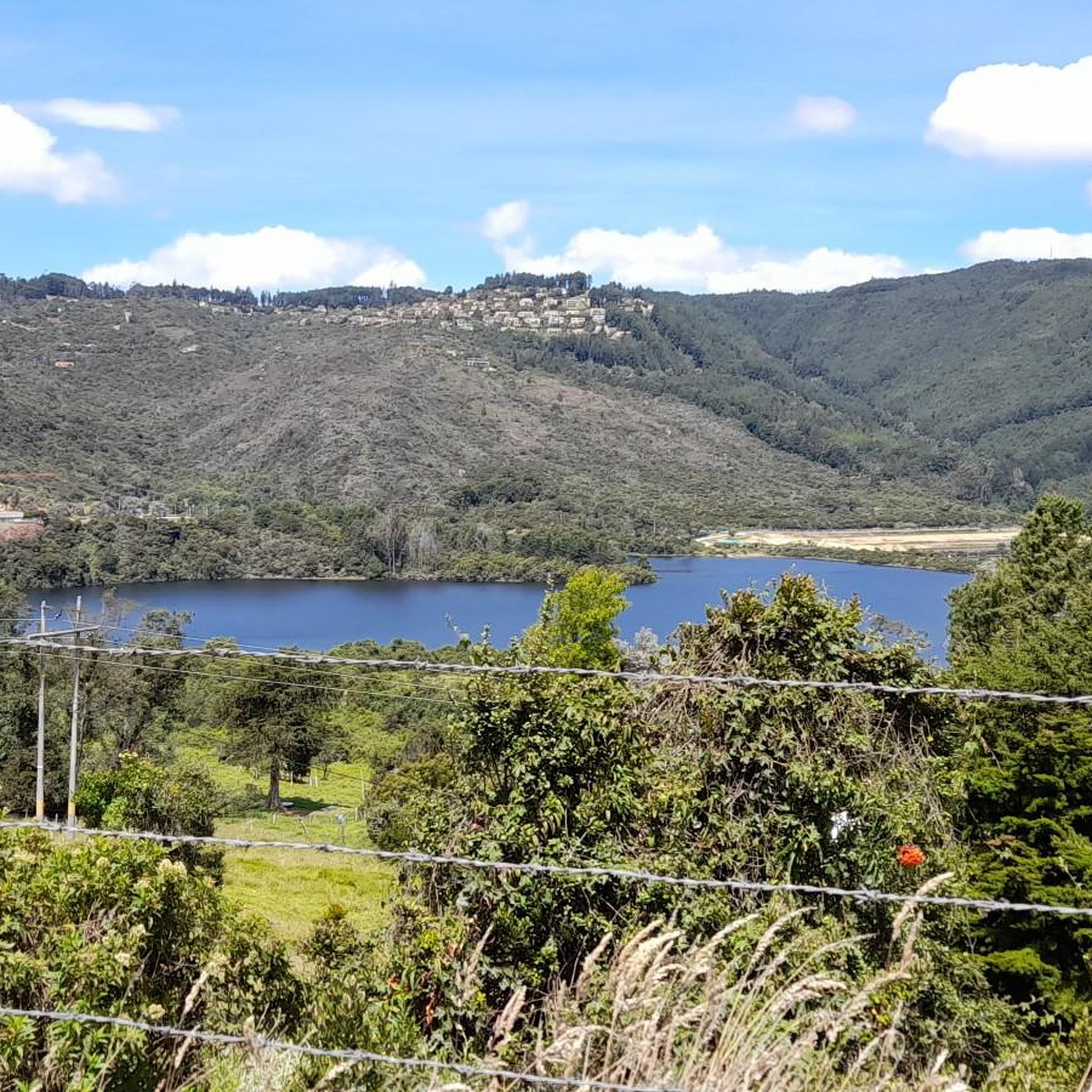
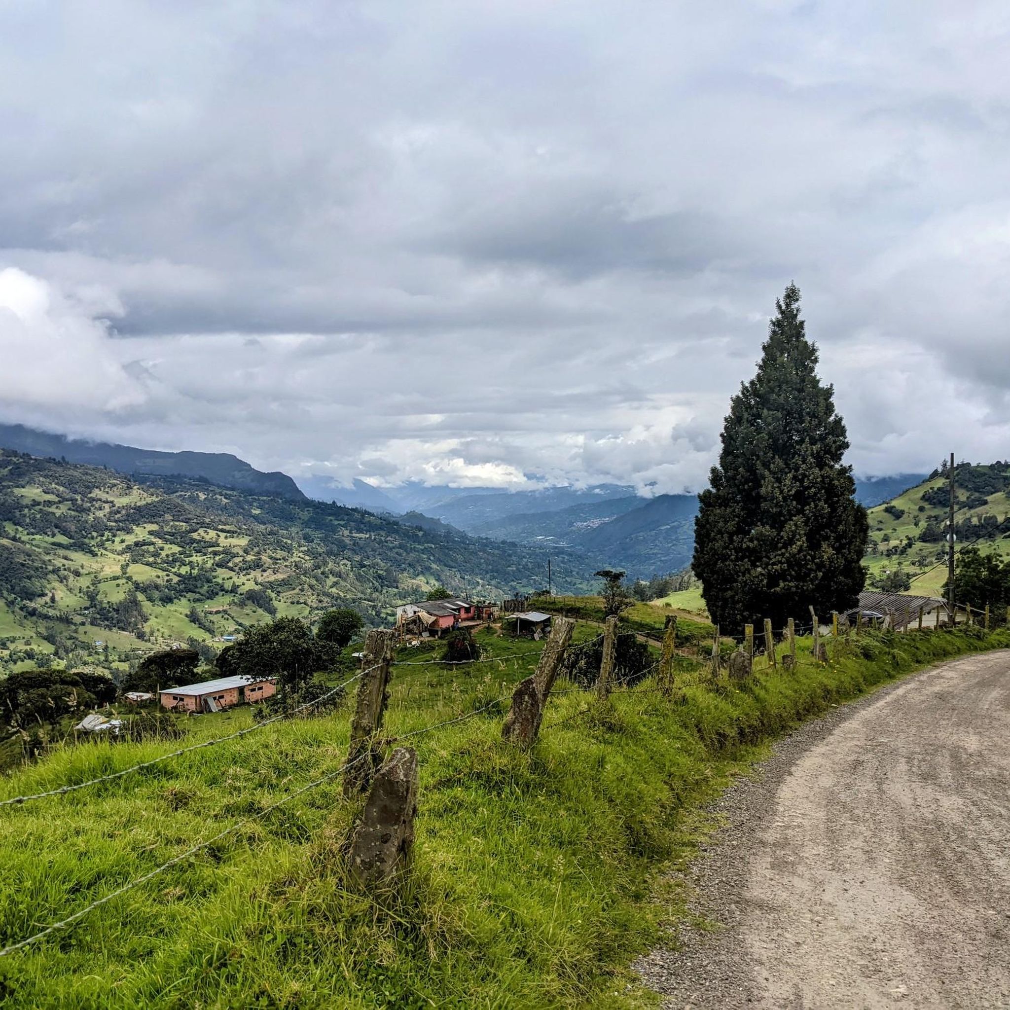
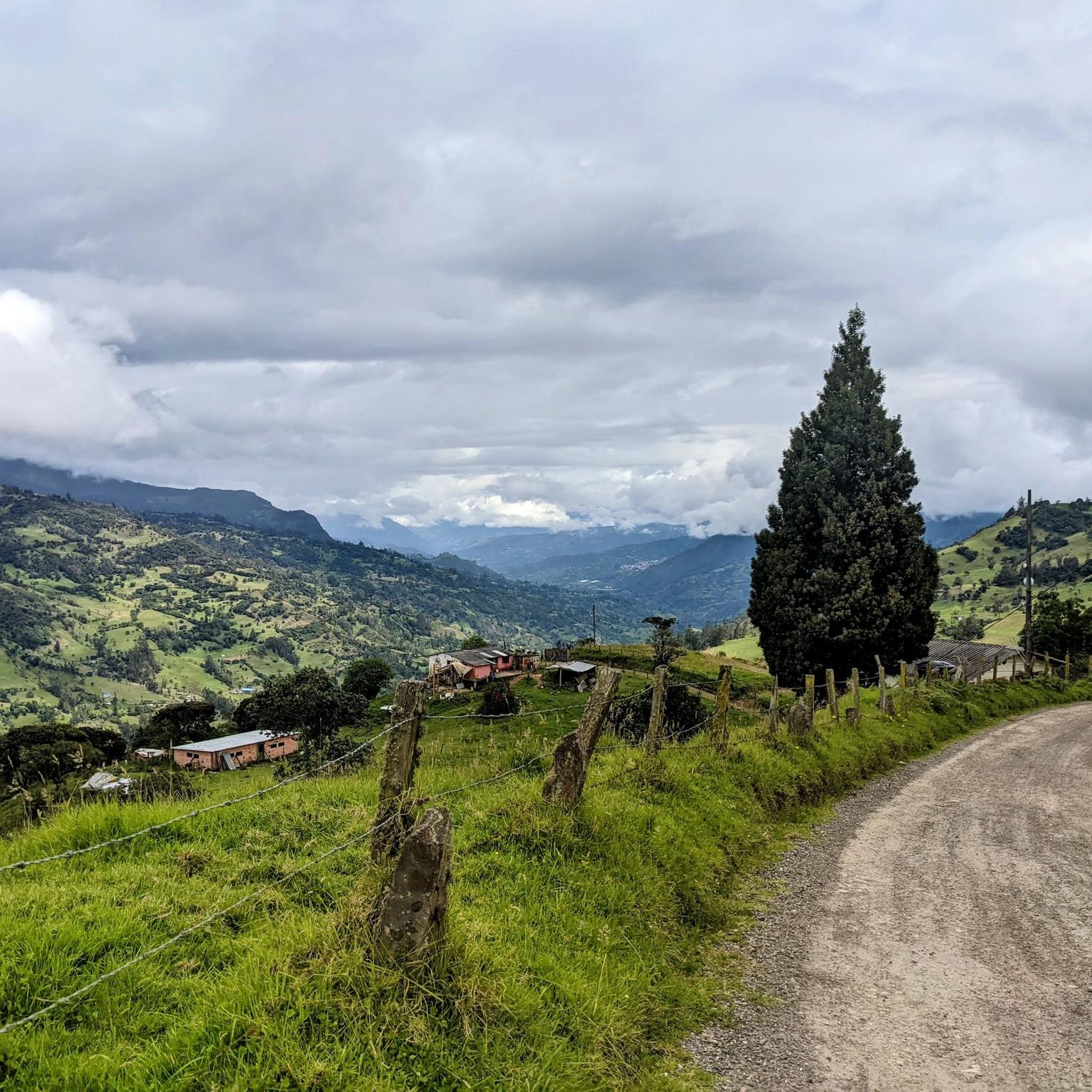
Other adventures in La Calera

Tips from the Community

Alto de los Patios offers countless dining options to enjoy Bogotá's sporting atmosphere. The area is usually very busy.
1
0

It is a road with a lot of vehicular flow, be careful!!! up there many places to have breakfast
1
0

Excellent climbing, recommended for Saturdays first thing in the morning.
0
0

Port on both sides, to provide firewood. Too bad, on the site, lousy service from the store that is there, that's why I suggest eating better, if you want, in La Calera. But that depends on how they feel.
0
0

If the day is sunny, the view is more enjoyable, but it is still demanding. Besides, as it is a paramo, the weather tends to change very easily, so you have to bring a coat just in case!
0
0
Preferred by all, the exit route to La Calera and other areas, it can be done in different ways every day (hitts, fixed speed, strength, fixed cadence, in a group, on wheels, talking...
1
0

Good way of training intervals and a good approach to Colombian "short" climbs
0
0

A calm atmosphere and excellent quality products
1
0
Frequently Asked Questions
How many touring cycling routes are available in La Calera?
La Calera offers over 20 touring cycling routes, primarily featuring challenging terrain through the mountainous Eastern Andes. These routes are well-regarded by the komoot community, with an average rating of 4.8 stars.
What is the typical difficulty level for touring cycling in La Calera?
Touring cycling in La Calera is predominantly challenging, with 20 out of 24 routes rated as difficult. Riders should expect significant elevation changes and high-altitude landscapes. There are also 4 moderate routes available, but no easy options for touring cyclists.
Are there any family-friendly touring cycling routes in La Calera?
Given the mountainous terrain and significant elevation changes, most touring cycling routes in La Calera are rated as difficult or moderate. There are no routes specifically categorized as easy, so families with young children or those seeking very gentle rides may find options limited. However, experienced cycling families might enjoy some of the shorter moderate routes.
What kind of landscapes can I expect to see while touring cycling in La Calera?
You'll experience diverse landscapes, from protected river zones to challenging summit climbs. Routes traverse hills and valleys, often near the Chingaza National Natural Park, offering views of high-altitude plains and mountain passes.
Are there any circular touring cycling routes in La Calera?
Yes, many of the touring cycling routes in La Calera are designed as loops. For example, you can explore the Guasca Main Square – Guasca loop from Carulla, which is a challenging 34.8-mile (56.0 km) path through varied terrain, or the shorter Plaza de La Calera – Patios Summit loop from Zona 5, covering 16.9 miles (27.2 km) through summit areas.
What are some notable landmarks or attractions I can see near the touring cycling routes?
Several routes pass by significant points of interest. You can find routes that lead to Patios Summit or offer views of Monserrate Hill. The region also features the Alto de Chingaza, a prominent summit near some routes.
What is the best time of year for touring cycling in La Calera?
The best time for touring cycling in La Calera generally aligns with the drier seasons to avoid heavy rainfall, which can make high-altitude routes more challenging. Typically, the months from December to March and July to August offer more stable weather conditions, though mountain weather can be unpredictable year-round.
What should I wear for touring cycling in La Calera's high-altitude environment?
Due to the high-altitude and mountainous terrain, weather can change rapidly. It's advisable to dress in layers, including a windproof and waterproof outer shell. Even on sunny days, temperatures can drop, especially at higher elevations or during descents. Gloves, a helmet, and appropriate cycling footwear are also essential.
Are there any routes that go towards Chingaza National Natural Park?
Yes, some routes venture towards the vicinity of Chingaza National Natural Park. For instance, the Plaza de La Calera – Alto de Chingaza loop from La Calera is a challenging 36.1-mile (58.1 km) route that takes you towards the Alto de Chingaza summit area, offering a taste of the park's surrounding landscapes.
What do other touring cyclists enjoy most about cycling in La Calera?
The area is highly rated by the komoot community, with an average score of 4.8 stars from over 20 reviews. Reviewers often praise the challenging mountain passes, the stunning high-altitude plains, and the unique experience of cycling through protected river areas. The diverse terrain and significant climbs are frequently highlighted as key attractions.
Where can I find parking for touring cycling routes in La Calera?
While specific parking areas are not detailed for every route, many touring cycling routes in La Calera start from towns or established points like 'Zona de protección del Río Teusacá' or 'Carulla' in Guasca, and 'Zona 5' in La Calera. These locations typically offer public parking options, though availability may vary. It's recommended to check local parking regulations upon arrival.
Can I find cafes or places to refuel along the touring cycling routes?
Many routes either start or pass through towns like La Calera and Guasca, where you can find cafes, restaurants, and shops to refuel. For example, the Guasca – Guasca Main Square loop from Altamar begins and ends in Guasca, providing opportunities for refreshments. However, on more remote sections, services may be sparse, so it's wise to carry sufficient water and snacks.
Most popular attractions in La Calera

Get inspired with the komoot mobile app


Explore more
Browse the best Cycling routes in other regions.
