The best running trails in Guatavita
5.0
(4)
252
runners
13
runs
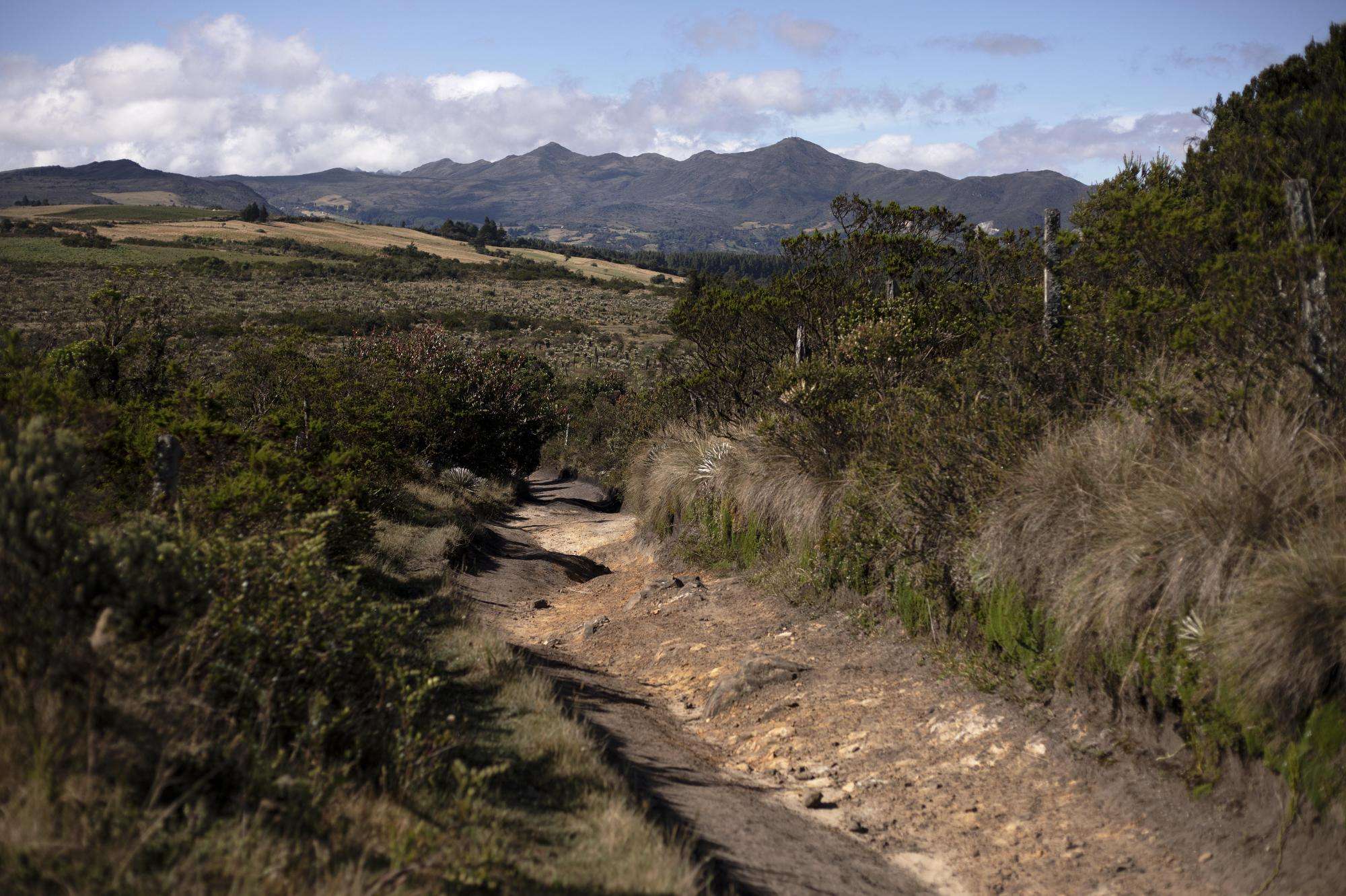
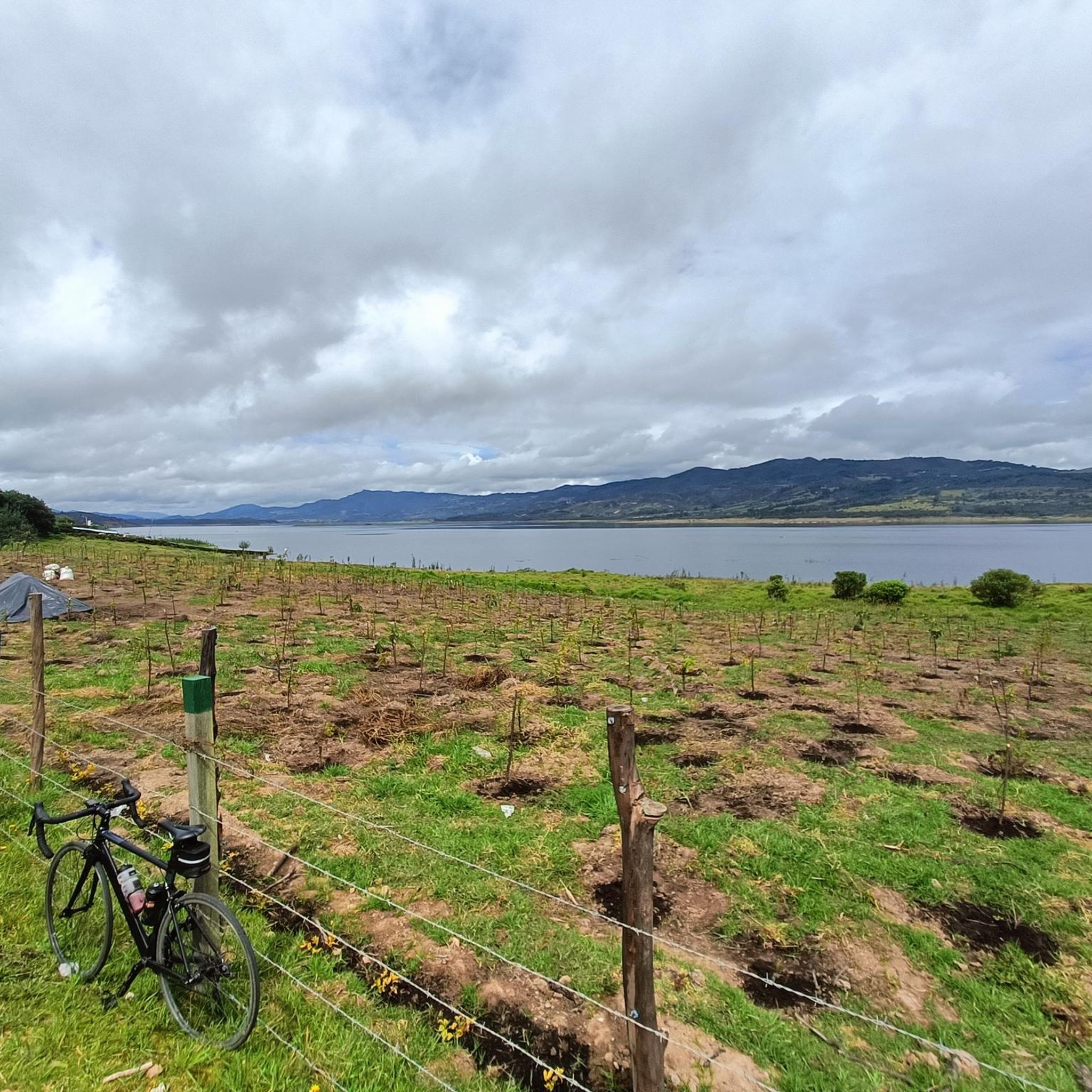
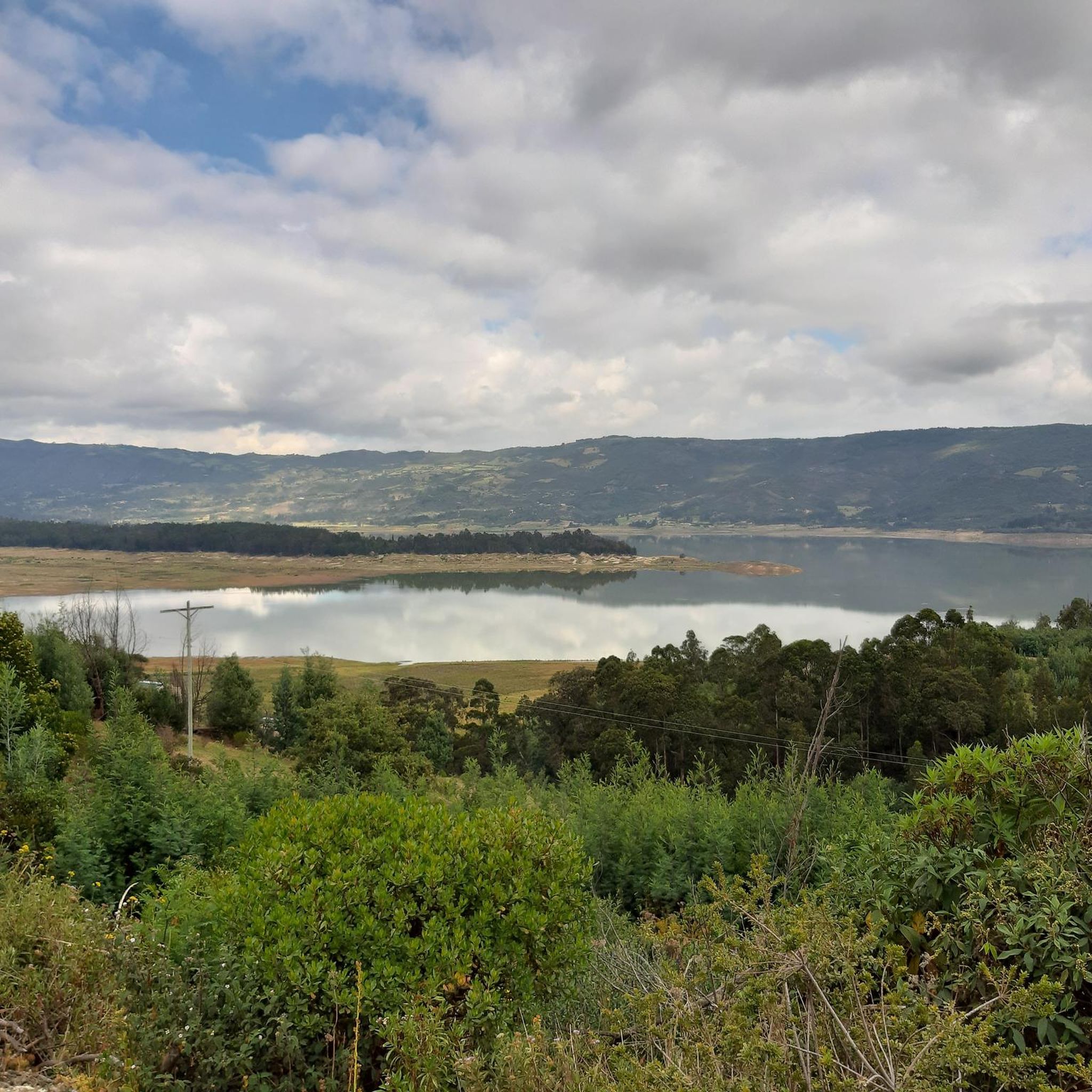
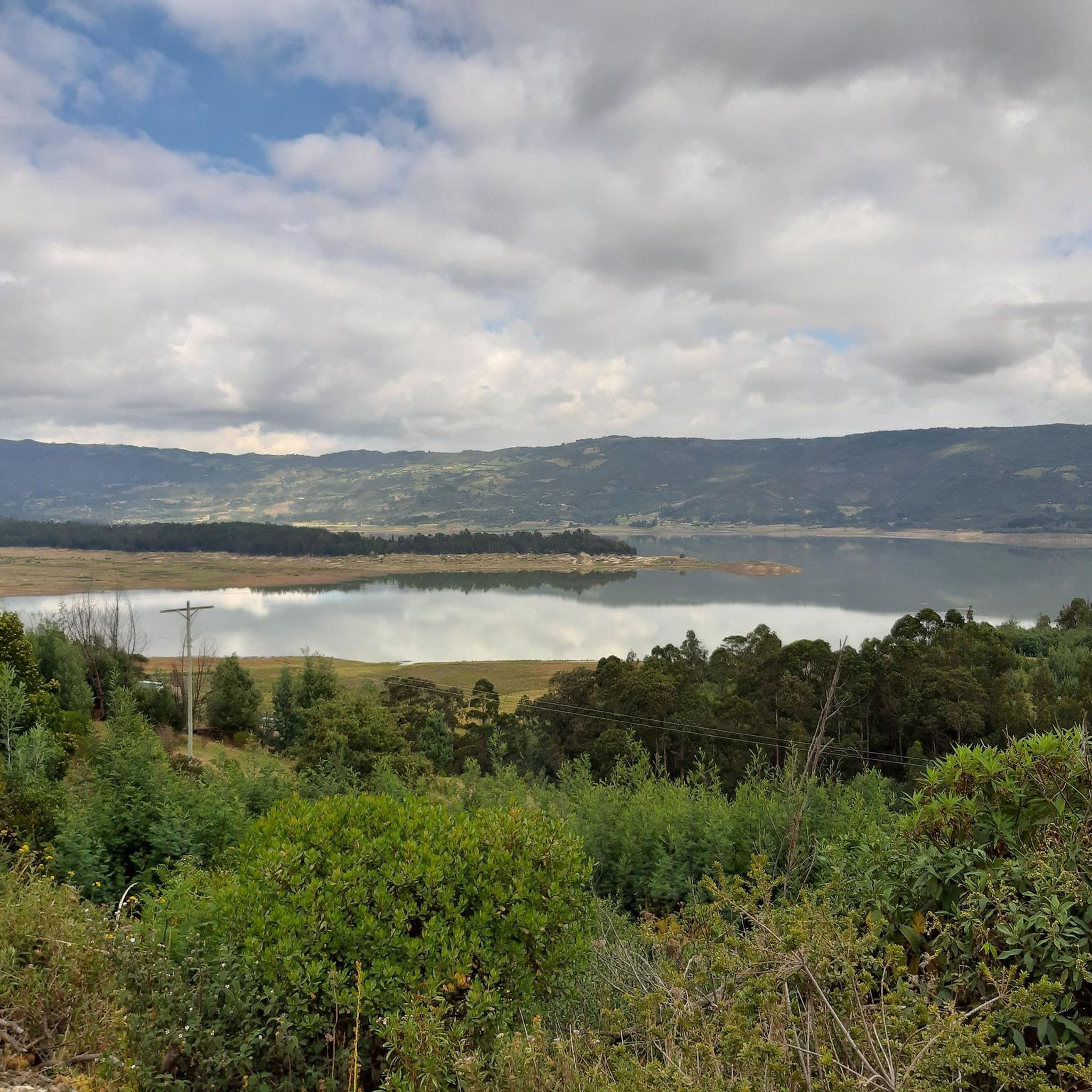
Jogging in Guatavita offers diverse terrain across its Andean landscapes, serene lakes, and lush hills. The region is characterized by vast green expanses, picturesque mountain ranges, and significant water bodies like Laguna de Guatavita and Embalse de Tominé. Trails range from well-maintained paths around the lakes to more natural routes through the hills, providing varied surfaces for running. The altitude, around 3,000 meters above sea level, adds a unique dimension to the running experience.
Best jogging routes in Guatavita
- The…
Last updated: July 12, 2026
5.0
(1)
77
runners
19.4km
02:36
770m
770m
Hard run. Very good fitness required. Mostly paved surfaces. Suitable for all skill levels.
33
runners
Moderate run. Good fitness required. Mostly paved surfaces. Suitable for all skill levels.

Sign up for free
23
runners
11.2km
01:32
380m
380m
Hard run. Very good fitness required. Mostly accessible paths. Some sure footedness required.
16
runners
7.27km
00:54
230m
230m
Moderate run. Good fitness required. Mostly paved surfaces. Suitable for all skill levels.
5.0
(1)
7
runners
10.4km
01:04
20m
20m
Moderate run. Good fitness required. Mostly paved surfaces. Suitable for all skill levels.
Get access to more routes and recommendations from other explorers.
Sign up for free
Already have an account?
Our route recommendations are based on thousands of hikes, rides, and runs completed by other people on komoot.
Start today with a free account
Your next adventure awaits.
Login or Signup

Frequently Asked Questions
How many running routes are available in Guatavita?
Guatavita offers a diverse selection of over 10 running routes, catering to various fitness levels and preferences. These routes traverse the region's stunning Andean landscapes, serene lakes, and lush hills.
What kind of terrain can I expect on jogging trails in Guatavita?
You can expect a variety of terrain, from easily accessible, well-maintained paths around the lakes to more natural trails through lush hills, some of which may be rocky. The region's Andean setting provides diverse surfaces for running, often with stunning vistas.
Are there running routes suitable for beginners in Guatavita?
While there are no routes explicitly categorized as 'easy' in our data, many of Guatavita's trails, particularly those around the lakes, feature gentle slopes suitable for leisurely jogs. Routes like the Jaime Duque Route loop from Briceño are moderate with relatively flat terrain, making them a good option for those with some fitness.
Are there challenging running routes for experienced runners in Guatavita?
Yes, Guatavita offers several challenging routes for experienced runners. For instance, the Embalse del Tomine loop from Vereda Montecillo is a difficult 12-mile trail with significant elevation gain, circling the expansive Embalse de Tominé. The region also features notable climbs like Salitre–Guasquita Climb and Alto de La Cuchilla, which are popular for more rigorous trail running workouts.
What are some scenic landmarks or natural features I can see while running in Guatavita?
Guatavita's running routes offer breathtaking views of iconic natural features. You can jog around the massive Tominé Reservoir, or explore trails near the legendary Lake Guatavita, known for its El Dorado legend. Many routes also provide panoramic views of the surrounding Andean landscapes and picturesque mountain ranges.
Are there any circular running routes in Guatavita?
Yes, many of the popular running paths in Guatavita are circular. Examples include the challenging Embalse del Tomine loop from Vereda Montecillo and the moderate Jaime Duque Route loop from Briceño. These loops allow you to experience diverse scenery without retracing your steps.
What do other runners enjoy most about jogging in Guatavita?
The area is highly rated by the komoot community, with an average score of 5.0 stars. Reviewers often praise the stunning vistas of the lakes and surrounding Andean countryside, the variety of terrain, and the unique blend of physical activity with cultural immersion due to the region's rich Muisca history.
What is the best time of year to go running in Guatavita?
Guatavita offers pleasant conditions for outdoor activities year-round, with cool temperatures typically between 9°C and 10°C. This consistent climate makes it suitable for running in any season, though dressing in layers is always advisable due to the altitude.
Are there family-friendly running paths in Guatavita?
While specific 'family-friendly' routes are not explicitly categorized, the region offers easily accessible paths with gentle slopes, particularly around the lakes, which can be suitable for families looking for a leisurely jog or stroll. The scenic beauty makes for an enjoyable outing for all.
Is there public transport available to reach the trailheads in Guatavita?
Information on direct public transport to specific trailheads is limited. However, Guatavita is accessible by bus from Bogotá, and local transport options may be available within the town to reach various starting points for running routes. It's recommended to check local transport schedules upon arrival.
Are there places to eat or drink near the running routes in Guatavita?
Yes, you can find cafes and restaurants in Guatavita town and potentially near popular areas like the Embalse de Tominé. These establishments offer opportunities to refuel and relax after your run, often providing local Colombian cuisine and beverages.
What are the typical distances of running routes in Guatavita?
Running routes in Guatavita vary significantly in distance. You can find shorter routes like the Running loop from Marina de Guatavita at around 4.5 miles (7.3 km), up to longer, more challenging trails such as the Embalse del Tomine loop from Vereda Montecillo, which spans over 12 miles (19.4 km).
Most popular attractions in Guatavita

Get inspired with the komoot mobile app


Explore more
Browse the best Running Trails & Routes in other regions.
