The best road cycling routes in Granada
4.7
(53)
528
riders
4
rides
Road cycling routes in Granada traverse a diverse landscape, from the high-altitude challenges of the Sierra Nevada mountain range to the rolling terrain of the Lecrín Valley and the coastal views of the Costa Tropical. The region is characterized by significant elevation changes, including Europe's highest paved roads, and features picturesque white villages, terraced fields, and olive groves. Cyclists encounter varied environments, from arid "lunar landscapes" to lush valleys and Mediterranean coastlines.
Best road cycling routes in Granada
- The most…
Last updated: July 15, 2026
4.8
(34)
171
riders
46.3km
02:24
760m
760m
Moderate road ride. Good fitness required. Mostly well-paved surfaces and easy to ride.
4.9
(9)
134
riders
94.0km
04:56
1,630m
1,630m
Hard road ride. Very good fitness required. Mostly well-paved surfaces and easy to ride.

Sign up for free
83
riders
84.3km
04:48
1,810m
1,810m
Hard road ride. Very good fitness required. Mostly well-paved surfaces and easy to ride.
33
riders
42.8km
03:13
780m
780m
Moderate road ride. Good fitness required. Some segments of this route may be unpaved and difficult to ride.
5.0
(1)
30
riders
50.3km
03:12
540m
540m
Moderate road ride. Good fitness required. Some segments of this route may be unpaved and difficult to ride.
Our route recommendations are based on thousands of hikes, rides, and runs completed by other people on komoot.
Start today with a free account
Your next adventure awaits.
Login or Signup
Popular around Granada
Tips from the Community

Don't forget to bring moisturizer.
0
0

It's a tough route. You need to be in good shape. Those who say it's a walk in the park or an easy climb are the ones who drive cars or ride motorcycles. They sit comfortably, sleep, and don't feel a thing.
0
0

The drinks are expensive, and the air is polluted. The road is narrow; you have to be careful of the vehicles.
0
0

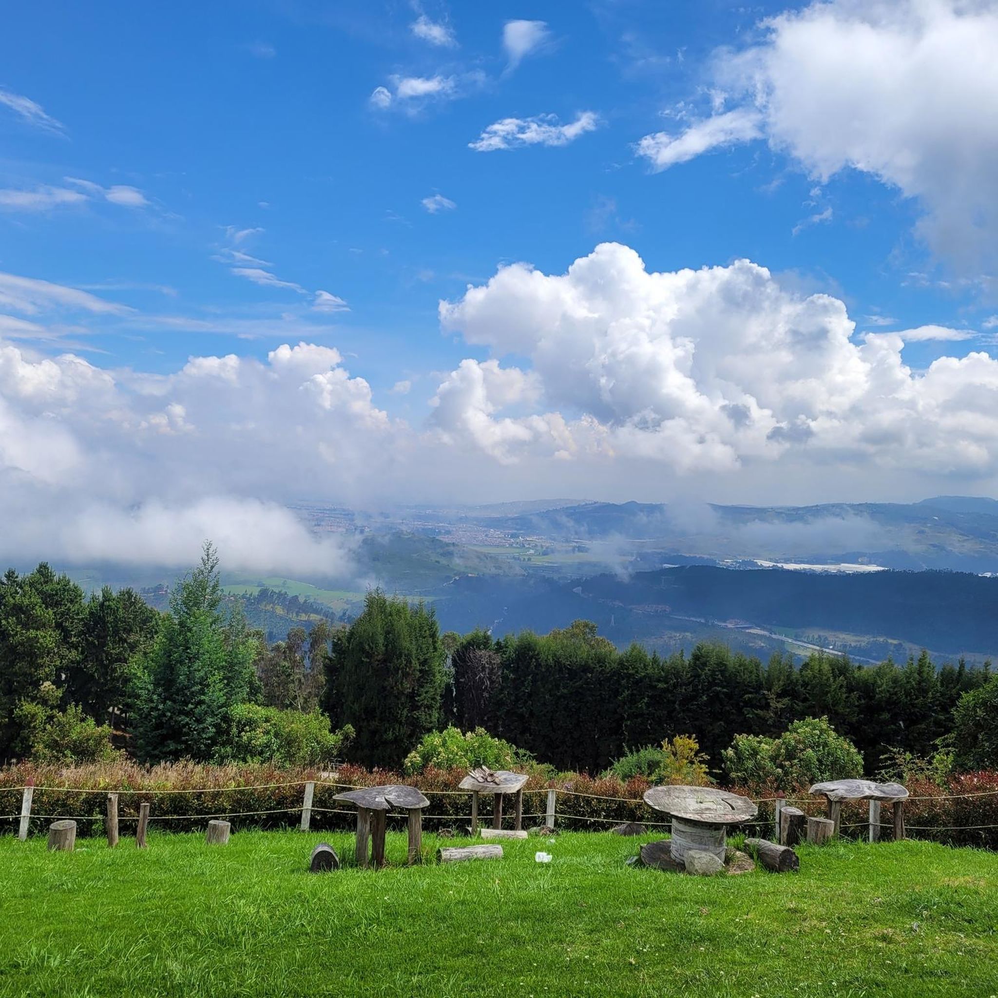
Alto de San Miguel distance from Sibate to the toll 7Km moderate climb. On weekends, the road is very busy so be very careful with vehicles. There are safer alternative routes for making the journey by MTB.
0
0
Weekend very busy no bad early on the morning. To much traffic now a days.
0
0

Beautiful landscapes and delicious desserts
0
0
be careful with the cars now a days is a high busy road.
0
0

Super recommended for camping, super nice view, super attentive and an excellent MTB track with various levels of difficulty
0
0
Frequently Asked Questions
What kind of terrain can I expect on road cycling routes in Granada?
Granada offers incredibly diverse terrain for road cycling. You'll find everything from the high-altitude challenges of the majestic Sierra Nevada mountain range, including Europe's highest paved roads, to the rolling hills and olive groves of the Lecrín Valley, and scenic coastal views along the Costa Tropical. The region features significant elevation changes, picturesque white villages, and landscapes ranging from arid 'lunar' areas to lush valleys.
Are there challenging climbs for experienced road cyclists in Granada?
Absolutely. Granada is renowned for its demanding climbs, attracting professional teams for training. The Sierra Nevada offers iconic ascents like the Pico Veleta, which boasts Europe's highest paved road. Other notable climbs include the Alto de Hazallanas, featured in major professional races, and the Puerto de El Purche (Alto de Monachil), known for its quiet roads and strategic location. The 'Goat's Path' (La Carretera de la Cabra) also provides sustained climbs and exhilarating descents with breathtaking views.
Can I find easier or moderate road cycling routes in Granada?
Yes, while Granada is known for its challenging climbs, there are also options for easier and moderate rides. The Lecrín Valley offers rolling terrain and serene cycling experiences through olive groves. Additionally, routes around reservoirs like the Canales and Bermejales provide relatively easy rides with beautiful water views. The region's network allows for varied experiences catering to different fitness levels.
What are some scenic areas or natural features to look out for while road cycling in Granada?
Granada's road cycling routes are rich with scenic beauty. You can expect dramatic high-mountain landscapes in the Sierra Nevada, charming white villages and terraced fields in the Alpujarras, and stunning Mediterranean views along the Costa Tropical. Routes like the Cáñar Loop are known for dramatic rock formations and ancient terraced fields. You might also encounter natural features such as the Tequendama Falls or enjoy panoramic vistas from viewpoints like K-3 Viewpoint.
Are there any circular road cycling routes available in Granada?
Yes, the region's road network is well-suited for circular routes, allowing cyclists to traverse various parts of the province. These routes often connect historical and cultural sites with natural wonders, passing through diverse landscapes from fertile plains to arid areas. For example, the Alpujarra loop is approximately 100 km long and immerses riders in picturesque towns.
What do other road cyclists say about their experience in Granada?
The road cycling experience in Granada is highly rated by the komoot community, with an average score of 4.6 stars from over 40 reviews. Cyclists often praise the diverse terrain, from mountainous ascents to scenic valleys and coastal roads, and the variety of options available for different ability levels. Over 350 road cyclists have used komoot to explore Granada's varied terrain, highlighting its appeal.
Are there any specific routes that pass through charming villages or cultural sites?
Many routes in Granada offer a blend of natural beauty and cultural immersion. The Alpujarras region, for instance, features routes that wind through charming white villages such as Lanjarón, Órgiva, Pampaneira, and Trevélez. Trevélez is one of Spain's highest villages, known for its air-cured Iberian hams. These routes provide a unique opportunity to experience the local culture and architecture while cycling.
What is the best time of year for road cycling in Granada?
Granada generally offers a pleasant climate for cycling, but the best time depends on your preference. Spring and autumn provide comfortable temperatures for exploring both mountain and valley routes. Summer can be very hot, especially in lower elevations, but the high altitudes of the Sierra Nevada offer cooler conditions. Winter can bring snow to the higher peaks, making some mountain passes inaccessible, but coastal and lower-lying routes remain rideable.
Are there any routes suitable for a longer, more challenging ride?
For those seeking a significant challenge, routes like the Finca Los Cactos loop from El Colegio offer a substantial experience. This difficult 52.4-mile (84.3 km) path includes a considerable elevation gain of 5,932 feet (1,808 meters), providing an arduous yet rewarding journey through varied terrain.
Where can I find places to stop for refreshments or a break along the routes?
Many routes in Granada pass through or near towns and villages where you can find cafes, restaurants, and shops. For example, the Alpujarras region is dotted with picturesque towns like Lanjarón and Órgiva, perfect for a break. Additionally, some routes might feature specific stops like the Escarabajos Shop, which could be a good spot for cyclists.
What is a good moderate route for road cycling in Granada?
A popular moderate option is the Sixth Stop – Tequendama Falls loop from Estación Soacha. This route covers 28.5 miles (45.8 km) and typically takes around 2 hours and 24 minutes to complete. It features a significant elevation gain of 2,468 feet (752 meters), offering a good balance of challenge and scenic enjoyment.
Are there any routes that offer a mix of terrain and can be completed in a few hours?
Yes, for a route that offers varied terrain and can be completed in about three hours, consider the La Colina MTB Park loop from Soacha. This 26.2-mile (42.2 km) trail provides a diverse cycling experience, making it a great option for a half-day ride.
Most popular routes in Granada
Most popular attractions in Granada

Get inspired with the komoot mobile app


Explore more
Browse the best Road cycling routes in other regions.
