The best cycling routes in Cota
4.7
(428)
6,064
riders
108
rides
Touring cycling in Cota, Cundinamarca, is characterized by its diverse landscapes, including mountain, piedemonte, and valley terrains. The region features elevations ranging from 2,566 meters to over 3,000 meters, with relief consisting of slopes, peaks, and gentler inclines. The geography includes sedimentary materials, fans, terraces, and fertile plains formed by river dynamics. This varied terrain offers a range of challenges for touring cyclists.
Best touring cycling routes in Cota
- The most popular touring cycling route is The La Conejera Climb – Alto de Yerbabuena loop from E10 - ALO con Calle 143 A, a 39.7 miles (63.9 km) trail that takes 4 hours 13 minutes to complete. This difficult route includes significant elevation gain.
- Another top favourite among local touring cyclists is Alto de Yerbabuena – El Calvario loop from El Rosario, a difficult 30.1 miles (48.4 km) path. This route features climbs and varied terrain, offering panoramic views.
- Local touring cyclists also love the Steep climb to La Valvanera loop from Chía, a 15.9 miles (25.5 km) trail leading through mountain landscapes, often completed in about 2 hours 15 minutes.
- Touring cycling in Cota is defined by mountain climbs, piedemonte slopes, and valley plains. The network offers options for easy, moderate, and difficult routes, catering to various ability levels.
- The routes in Cota are highly rated by the komoot community with an average score of 4.7 stars from over 400 reviews. More than 6000 touring cyclists have used komoot to explore Cota's varied terrain.
Last updated: July 5, 2026
4.9
(20)
74
riders
25.6km
02:15
500m
500m
Hard bike ride. Very good fitness required. Mostly paved surfaces. Suitable for all skill levels.
4.7
(7)
52
riders
45.5km
03:07
560m
560m
Hard bike ride. Very good fitness required. Mostly paved surfaces. Suitable for all skill levels.

Sign up for free
5.0
(1)
55
riders
40.5km
03:44
840m
840m
Hard bike ride. Very good fitness required. Mostly paved surfaces. Suitable for all skill levels.
51
riders
53.5km
04:24
1,270m
1,280m
Hard bike ride. Very good fitness required. Mostly paved surfaces. Suitable for all skill levels.
5.0
(4)
37
riders
Moderate bike ride. Good fitness required. Mostly paved surfaces. Suitable for all skill levels.
Get access to more routes and recommendations from other explorers.
Sign up for free
Already have an account?
Our route recommendations are based on thousands of hikes, rides, and runs completed by other people on komoot.
Start today with a free account
Your next adventure awaits.
Login or Signup
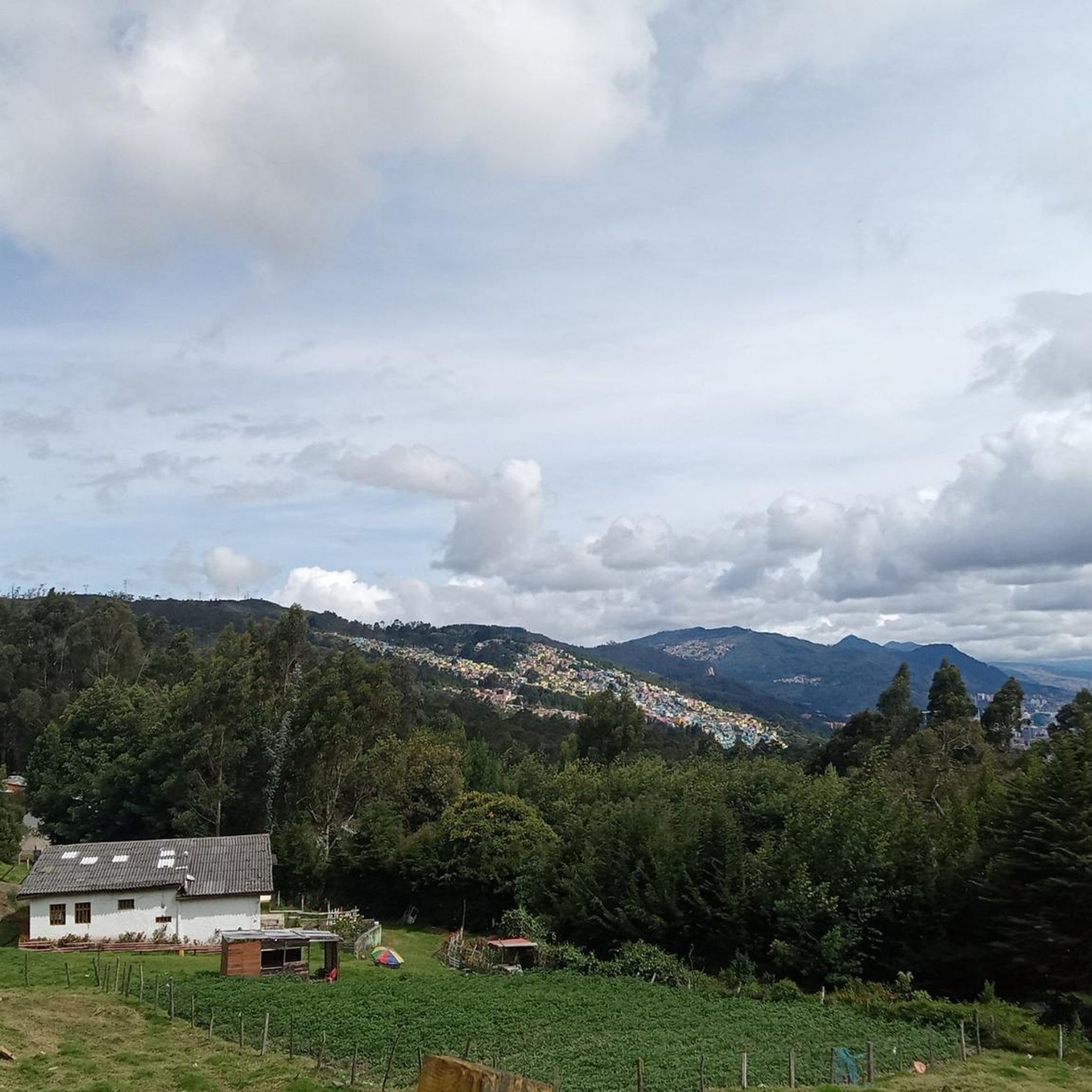
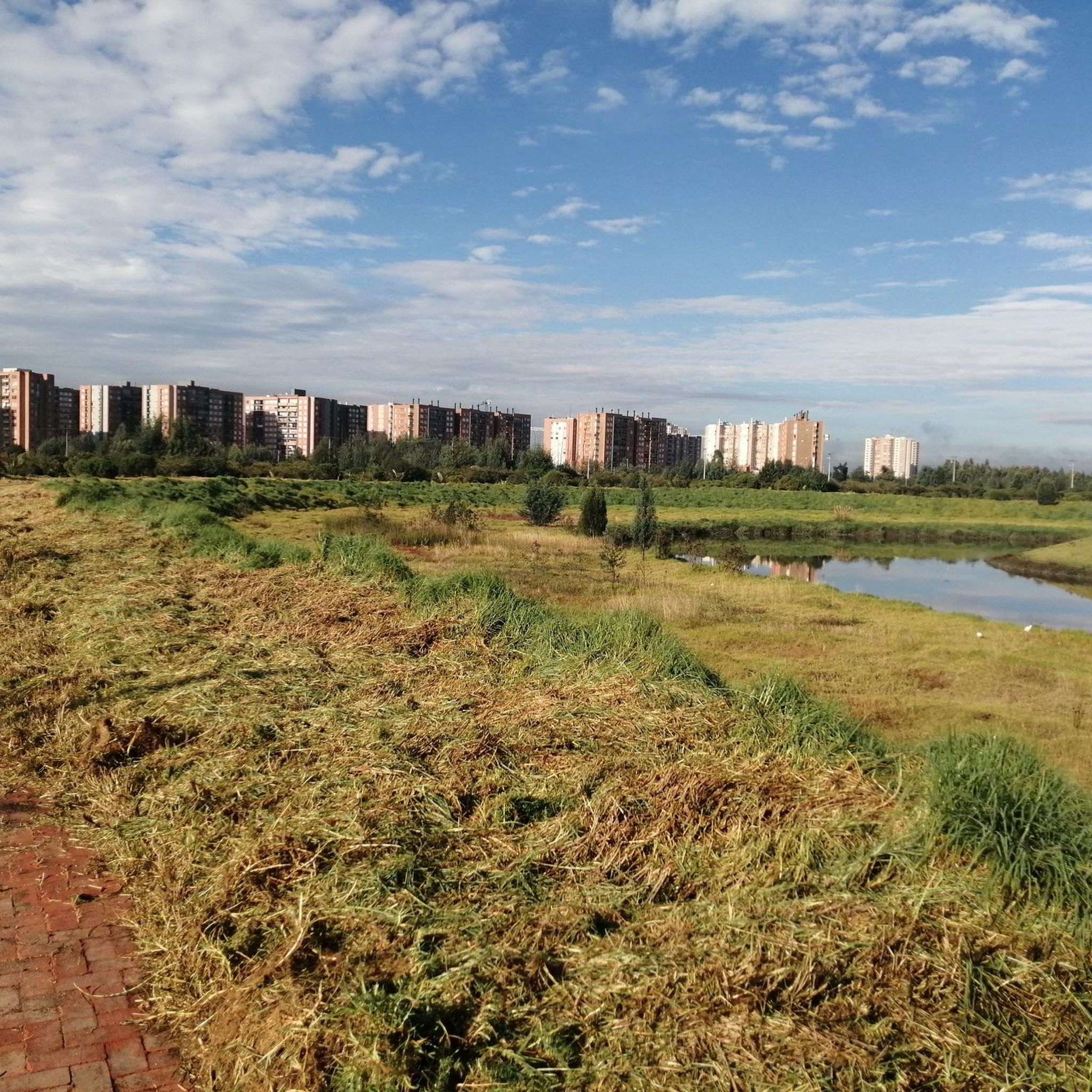
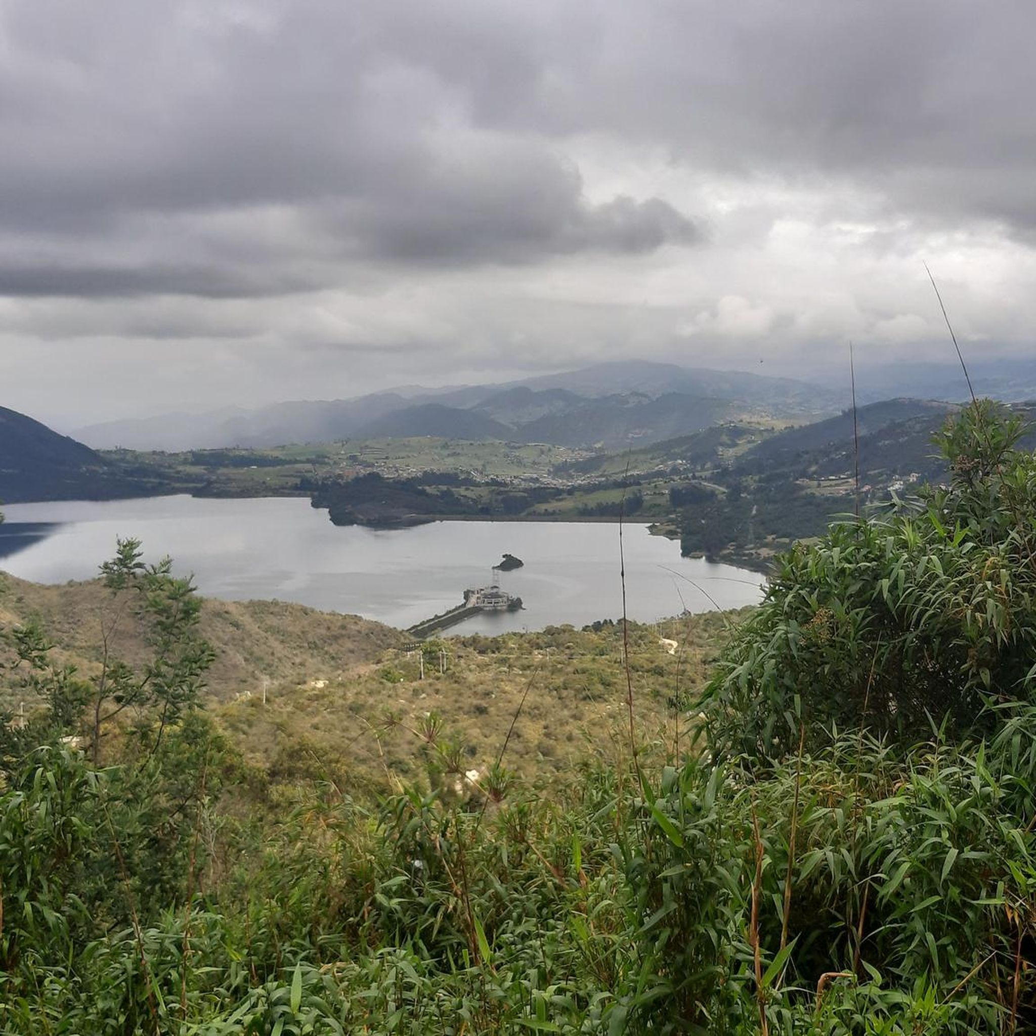
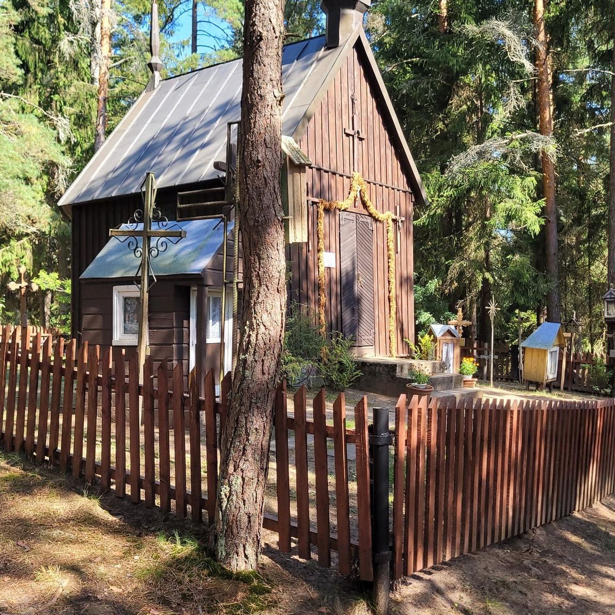
Tips from the Community

It is a steep climb on asphalt, a very good route for training.
0
0

hard, but beautiful
0
0

The view is very good, and it is worth going up
0
0

BEAUTIFUL LANDSCAPES AND GOOD TRAINING
1
1

Around here they do not allow Tenjo to pass, it is an indigenous reserve and permission from the governor is required, the climb is steep
0
0

Good objective, I suggest via Patios round trip to train various types (hill, bottom, hitts if you want in Arepas).
0
0

It's not touristy but the view is beautiful
0
0
Frequently Asked Questions
How many touring cycling routes are available in Cota?
Cota offers a wide variety of touring cycling routes, with over 115 options available. These routes cater to different skill levels, including easy, moderate, and difficult trails.
What kind of terrain can I expect on Cota's touring cycling routes?
Cota's terrain is incredibly diverse, ranging from flat valley plains formed by river dynamics to challenging mountain landscapes with slopes exceeding 50%. You'll encounter sedimentary materials, fans, terraces, and foothills, providing a varied cycling experience. Routes like The La Conejera Climb – Alto de Yerbabuena loop from E10 - ALO con Calle 143 A feature significant elevation gain, while other areas offer gentler inclines.
Are there any family-friendly touring cycling routes in Cota?
While many routes in Cota involve significant climbs, there are easier options available, particularly in the valley landscape characterized by flat overflow plains. These areas offer gentle slopes, making them more suitable for family outings. Look for routes categorized as 'easy' within the komoot guide for suitable options.
What are some notable climbs or challenging routes for experienced touring cyclists?
Experienced touring cyclists will find plenty of challenges in Cota. The Yerbabuena Climb is popular among Bogotá riders, featuring steep segments over 10%. Another challenging option is the Alto de Yerbabuena – El Calvario loop from El Rosario, which includes varied terrain and panoramic views. The Alto de Canicas, accessible from Subachoque or Tabio, also offers enjoyable climbs.
What natural features or landmarks can I see along the touring cycling routes?
Cota's routes offer beautiful scenery, especially in the mountain landscapes like the Serranía del Mahui. You can explore areas with singular admiration and beautiful views. The Puente Piedra–Subachoque Road is known for its main park, ideal for photographs. Hacienda El Noviciado also offers insights into local culture and nature, including an ancestral mountain cedar.
Are there any circular touring cycling routes in Cota?
Yes, many touring cycling routes in Cota are designed as loops, allowing you to start and end at the same point. Examples include Steep climb to La Valvanera loop from Chía and Welcome Sign to Tabio – Alto de Canicas loop from Chía, which offer varied distances and challenges.
What do other touring cyclists say about their experience in Cota?
The touring cycling routes in Cota are highly regarded by the komoot community, holding an impressive average rating of 4.7 stars from over 400 reviews. Cyclists frequently praise the diverse landscapes, challenging climbs, and the beautiful natural surroundings that make for a rewarding experience.
What is the best time of year to go touring cycling in Cota?
Cota generally offers a climate conducive to outdoor activities. Given its altitude of 2,566 meters, the weather is often refreshing. While specific seasonal considerations can vary, the region's diverse terrain means you can find enjoyable routes throughout much of the year, though it's always wise to check local weather forecasts before heading out.
Are there places to stop for food and water along the routes?
Yes, some popular cycling areas in Cota offer amenities. For instance, the top of the Yerbabuena Climb has food and water available. Routes leading to Alto de Canicas from both Subachoque and Tabio also provide spots for water and snacks, especially popular on weekends.
How can I get to the touring cycling routes in Cota using public transport?
Cota is located just 26 kilometers from Bogotá, making it accessible. While specific public transport details for reaching trailheads directly are not provided, local buses and shared transport options from Bogotá to Cota are generally available. From Cota, you might need to cycle or arrange local transport to reach specific starting points.
What are the elevation changes like on Cota's touring cycling routes?
Cota's routes feature significant elevation changes, reflecting its diverse mountain and piedemonte landscapes. Elevations range from 2,566 meters up to over 3,000 meters. For example, the Welcome Sign to Tabio – Santa Lucía Church, Chía loop from Chía involves over 840 meters of elevation gain, providing a substantial workout for cyclists.
Are there any less crowded touring cycling routes near Cota?
While popular climbs like Yerbabuena and Alto de Canicas can be busy, especially on weekends, Cota has over 115 routes. Exploring some of the less-trafficked paths in the piedemonte or valley areas, or venturing out during weekdays, can offer a more serene cycling experience away from the crowds.
Most popular attractions in Cota

Get inspired with the komoot mobile app


Explore more
Browse the best Cycling routes in other regions.
