The best road cycling routes in Choachí
4.9
(89)
3,259
riders
4
rides
Road cycling routes in Choachí are characterized by challenging climbs through the Andean mountains and lush cloud forests of Cundinamarca, Colombia. The region features significant elevation gains, with routes often traversing high-altitude páramos. Cyclists can expect a diverse landscape of mountainous terrain and dense forests, providing a demanding yet rewarding experience. The area's proximity to Bogotá makes it an accessible destination for serious road cyclists seeking strenuous ascents and panoramic views.
Best road cycling routes in Choachí
- The most popular…
Last updated: July 14, 2026
4.9
(20)
1,180
riders
115km
06:15
2,330m
2,330m
Hard road ride. Very good fitness required. Mostly well-paved surfaces and easy to ride.
4.7
(36)
744
riders
23.4km
01:24
530m
530m
Moderate road ride. Good fitness required. Mostly well-paved surfaces and easy to ride.

Sign up for free
5.0
(4)
402
riders
131km
06:33
1,860m
1,860m
Hard road ride. Very good fitness required. Mostly well-paved surfaces and easy to ride.
5.0
(3)
260
riders
154km
07:40
1,830m
1,840m
Hard road ride. Very good fitness required. Some segments of this route may be unpaved and difficult to ride.
225
riders
102km
05:15
1,360m
1,360m
Hard road ride. Very good fitness required. Some segments of this route may be unpaved and difficult to ride.
Our route recommendations are based on thousands of hikes, rides, and runs completed by other people on komoot.
Start today with a free account
Your next adventure awaits.
Login or Signup

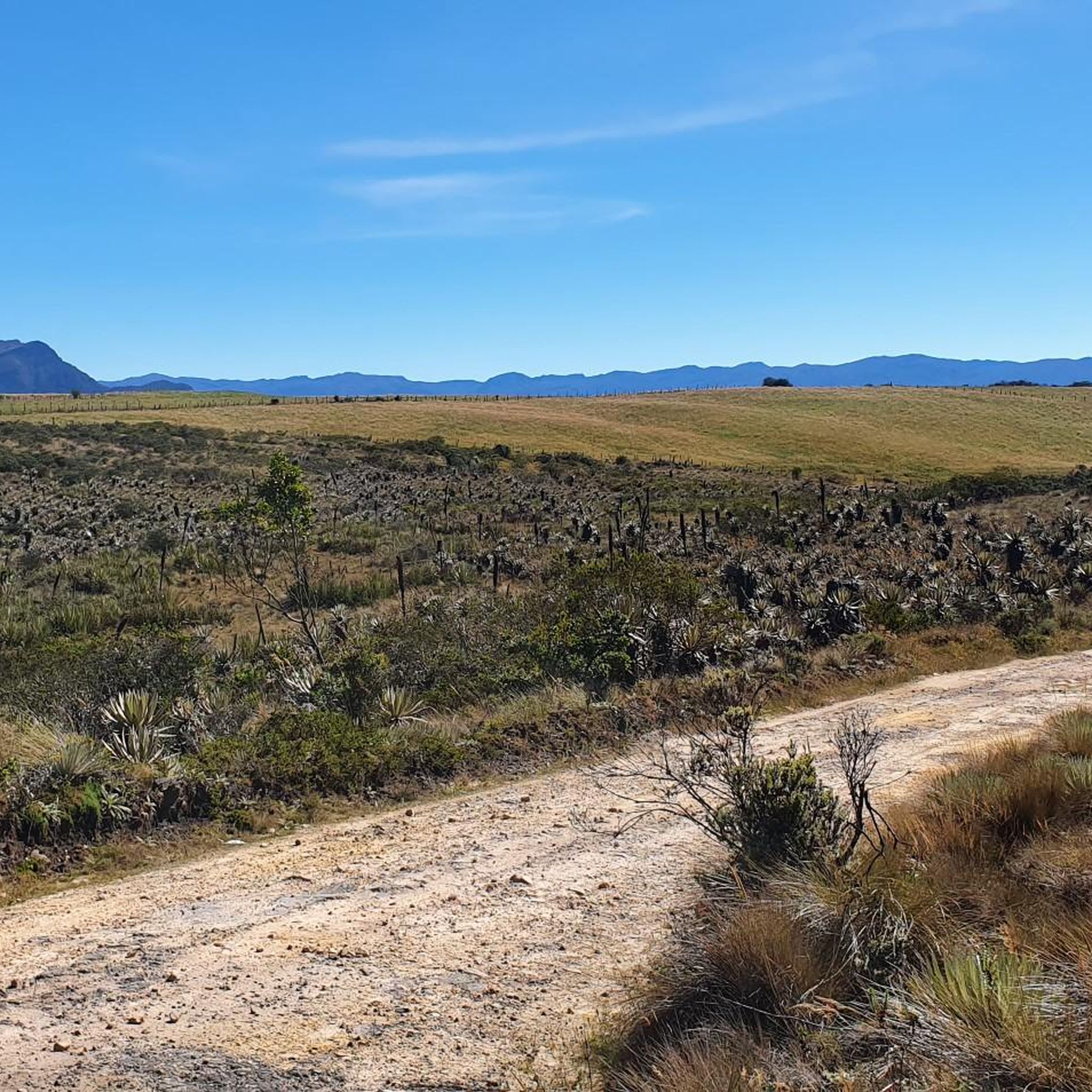
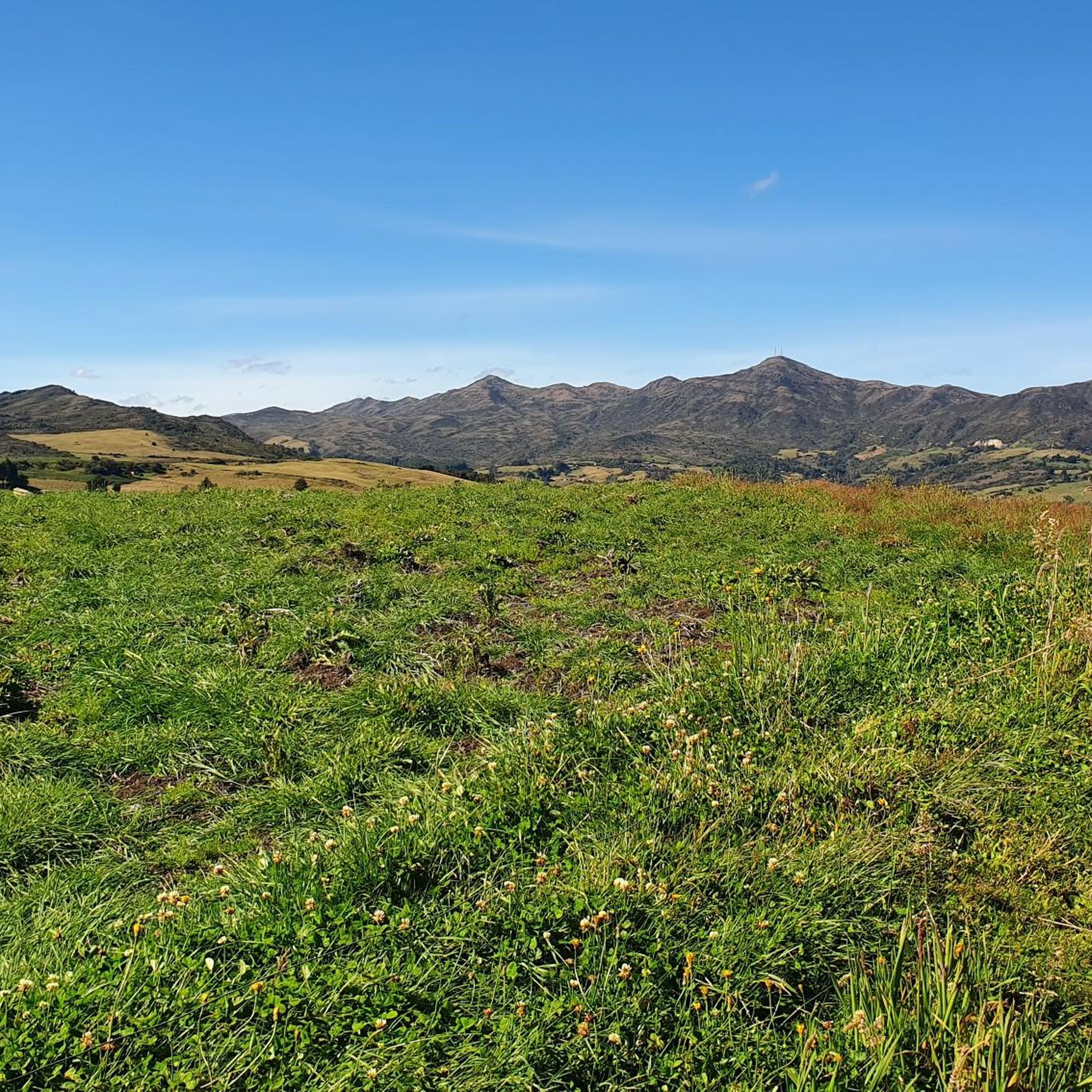
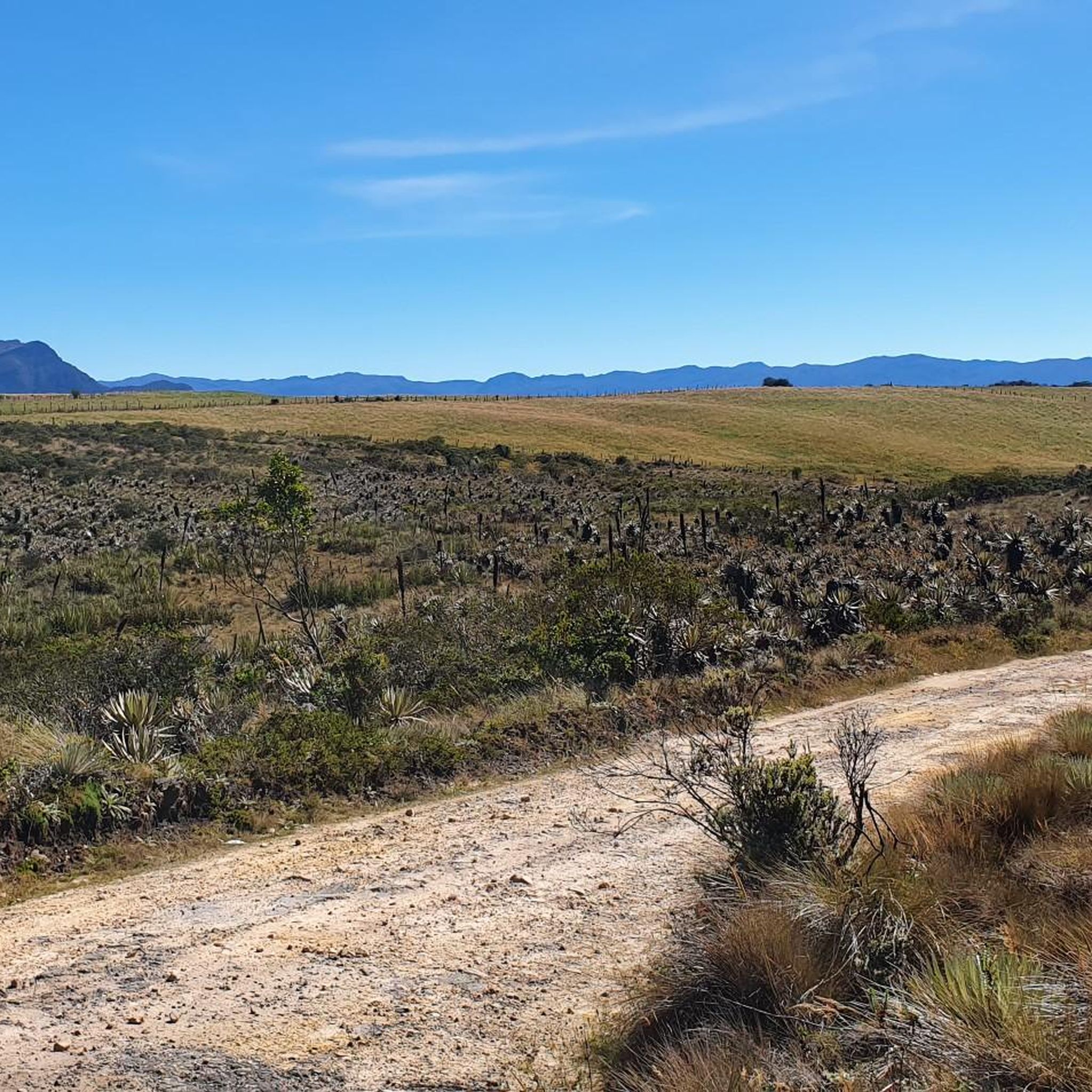
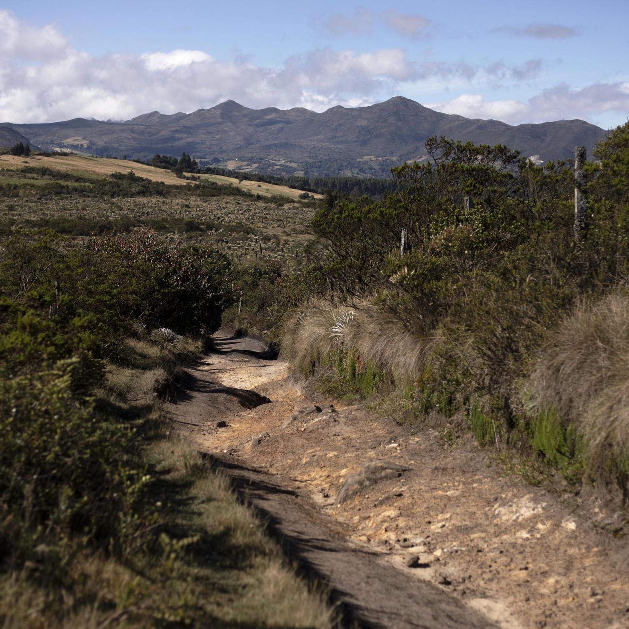

Other adventures in Choachí

Tips from the Community

Alto de los Patios offers countless dining options to enjoy Bogotá's sporting atmosphere. The area is usually very busy.
1
0

Beautiful scenery and medium difficulty. For gravel or mountain biking.
0
0


It is the most frequented peak by cyclists in all of Colombia. Egan Bernal has the PR
0
0

It is a road with a lot of vehicular flow, be careful!!! up there many places to have breakfast
1
0

Good outing, although it is very cold almost always. Go with a good coat
0
0

Excellent climbing, recommended for Saturdays first thing in the morning.
0
0
Frequently Asked Questions
What is the general difficulty level of road cycling routes in Choachí?
Road cycling in Choachí is known for its challenging nature, featuring significant elevation gains and demanding climbs through the Andean mountains. Most routes are categorized as 'difficult', requiring very good fitness. For example, the Salitre–Guasquita Climb – Alto de La Cuchilla loop from Estación 15 involves over 7,600 feet (2,300 meters) of ascent.
Are there any road cycling routes suitable for less experienced cyclists?
While many routes in Choachí are challenging, there are some options for moderate or easier rides. For instance, the View of Bogotá from Patios – Patios Summit loop from Calle 45 is rated as 'moderate', and the UDFJC – National Park loop from Estación Usaquén is considered 'easy', offering a shorter distance and less elevation gain.
What natural features and landmarks can I expect to see while road cycling in Choachí?
Choachí's routes offer breathtaking panoramic views of the Andean mountains, lush cloud forests, and diverse landscapes. You might pass through rural areas with grazing cows and experience the unique ecosystems of the Páramo de Cruz Verde and Chingaza. Notable landmarks and viewpoints include Patios Summit, Monserrate Hill, and the Cerro de Guadalupe and Christ the Redeemer Statue.
What are the typical distances and durations for road cycling routes in Choachí?
Routes vary significantly in length and duration. For example, the difficult Alto del Águila – Via Pacho – El Águila loop from Estación 14 is about 102 miles (164.5 km) and can take nearly 8 hours. Shorter options like the moderate View of Bogotá from Patios – Patios Summit loop from Calle 45 are around 14 miles (22.7 km) and take about 1 hour 20 minutes.
What is the best time of year to go road cycling in Choachí?
Choachí's climate can be variable due to its mountainous terrain and high altitude. While specific seasons aren't mentioned as 'best,' be prepared for a range of conditions, including clear weather, heavy rain, dense fog, and cold temperatures, especially in the páramo sections. It's advisable to check local weather forecasts before heading out.
How can I get to Choachí with my bike, and where can I park?
Choachí is an accessible destination from Bogotá, approximately 38 to 50 kilometers east. Many cyclists ride directly from Bogotá, tackling the demanding climb. For those driving, parking options are typically available within the town of Choachí, though specific trailheads for road cycling routes may have limited designated parking. It's best to research parking near your chosen starting point.
Are most road cycling routes in Choachí loop trails?
Yes, many of the popular road cycling routes in Choachí are designed as loops, allowing you to start and finish at the same point. Examples include the Salitre–Guasquita Climb – Alto de La Cuchilla loop from Estación 15 and the Salitre–Guasquita Climb – View of Tominé Reservoir loop from La Calera.
What do other road cyclists enjoy the most about road cycling in Choachí?
The area is highly rated by the komoot community, with an average score of 4.8 stars from over 70 reviews. Reviewers often praise the incredible panoramic views, the challenging yet rewarding climbs, and the diverse landscapes encountered, from cloud forests to páramos. The sense of accomplishment after tackling the significant elevation gains is also a common highlight.
Are there family-friendly road cycling options in Choachí?
Given the demanding nature of most road cycling routes in Choachí, with significant elevation gains and long distances, many are not ideal for young families or beginners. However, the 'easy' rated UDFJC – National Park loop from Estación Usaquén could be an option for families with older, experienced cycling children, or those seeking a less strenuous ride.
Can I bring my dog on road cycling routes in Choachí?
Road cycling routes are generally designed for human cyclists and are often on paved roads with traffic, making them unsuitable for dogs. While some natural areas might permit dogs on leash, the primary road cycling experience in Choachí is not typically dog-friendly. It's best to leave your canine companions at home for these specific routes.
Are there places to refuel or stay overnight for cyclists in Choachí?
The charming town of Choachí itself offers cultural richness, with colonial architecture and local markets. You can find cafes and local eateries to refuel. For overnight stays, there are accommodations available in and around Choachí, including options like Termales de Santa Monica for relaxation. It's advisable to book in advance, especially during peak seasons.
How busy are the road cycling routes in Choachí?
Choachí is a popular destination for serious road cyclists, especially on weekends. While some routes, particularly those closer to Bogotá, can see a fair amount of traffic, the extensive network of trails means you can often find less crowded options, especially on weekdays or by exploring routes further from the main access points. The region's challenging nature naturally filters out casual riders.
Most popular attractions in Choachí

Get inspired with the komoot mobile app


Explore more
Browse the best Road cycling routes in other regions.
