The best MTB trails in Anapoima
5.0
(29)
360
riders
32
rides
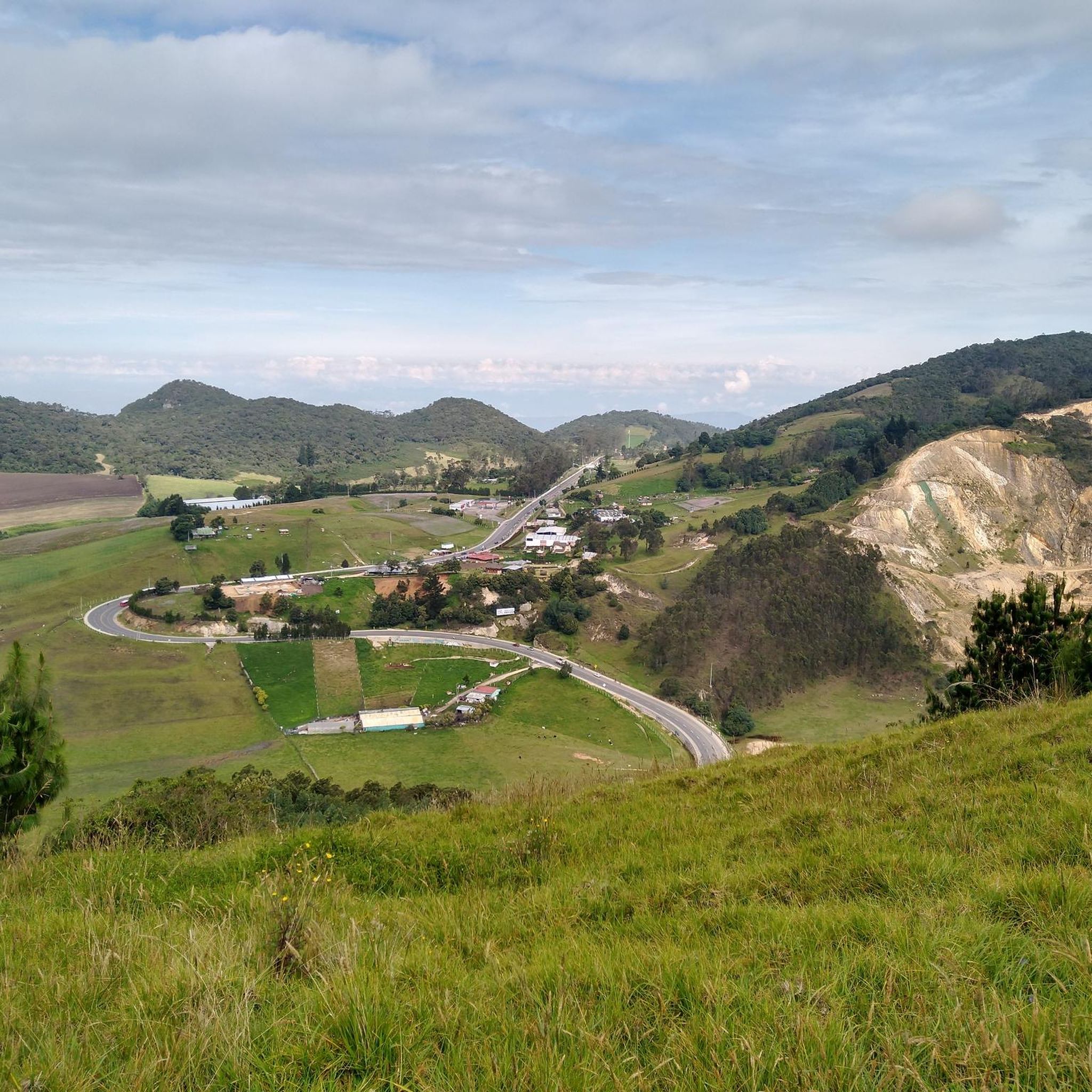
Mountain biking in Anapoima offers diverse terrain within the Andean foothills of Cundinamarca, Colombia. The region features a mix of valleys and mountains, providing significant elevation changes and varied landscapes for riders. Trails often combine paved sections with technical dirt paths, winding through forests, alongside rivers, and past rural hamlets. This environment provides a range of challenges suitable for different skill levels.
Best mountain bike trails in Anapoima
- The most popular mountain bike trail is Mountainbike loop from Anapoima,…
Last updated: July 15, 2026
4.8
(5)
37
riders
44.3km
03:25
830m
830m
Moderate mountain bike ride. Good fitness required. Suitable for all skill levels.
5.0
(1)
22
riders
51.3km
04:07
1,310m
1,310m
Hard mountain bike ride. Very good fitness required. Suitable for all skill levels.

Sign up for free
4.8
(4)
22
riders
41.8km
03:14
1,000m
1,000m
Hard mountain bike ride. Very good fitness required. Suitable for all skill levels.
5.0
(2)
23
riders
35.5km
02:43
880m
880m
Moderate mountain bike ride. Good fitness required. Suitable for all skill levels.
5.0
(1)
17
riders
33.9km
02:40
590m
590m
Moderate mountain bike ride. Good fitness required. Suitable for all skill levels.
Get access to more routes and recommendations from other explorers.
Sign up for free
Already have an account?
Our route recommendations are based on thousands of hikes, rides, and runs completed by other people on komoot.
Start today with a free account
Your next adventure awaits.
Login or Signup
Popular around Anapoima


Tips from the Community

Be careful on the descent, as traffic is constant and the road is in good condition. Bring reflective gear and lights, as it can be quite cloudy. Bring hydration...
0
0

very technical ascent or descent only MTB
0
0
Frequently Asked Questions
How many mountain bike trails are available in Anapoima?
Anapoima offers a wide selection of mountain bike trails, with over 35 routes documented on komoot. These trails cater to various skill levels, from easy to difficult, ensuring there's something for every rider.
What is the best time of year for mountain biking in Anapoima?
Anapoima is known as 'the town with the best climate in Colombia,' boasting consistently warm and dry temperatures year-round, typically between 22°C and 28°C (72°F and 82°F). This makes it an ideal destination for mountain biking at any time, without concerns of sudden weather shifts.
What kind of terrain can I expect on Anapoima's mountain bike trails?
The terrain in Anapoima is diverse, situated in the Andean foothills with a mix of valleys and mountains. Riders can expect significant elevation changes, combining paved sections with technical dirt paths. Trails often wind through forests, alongside rivers, and past rural hamlets, offering varied challenges.
Are there any easy mountain bike trails suitable for beginners in Anapoima?
Yes, Anapoima offers several trails suitable for beginners. Out of the 35 available routes, 4 are classified as easy, providing a gentle introduction to mountain biking in the region. These routes are perfect for those looking for a less strenuous ride.
Are there any circular mountain bike routes in Anapoima?
Yes, many of Anapoima's mountain bike trails are designed as loops, allowing you to start and finish in the same location. For example, the Mountainbike loop from Anapoima is a popular 44.3 km route, and the El Triunfo Mural – Anapoima loop from San Antonio offers a moderate 35.8 km ride.
What are some notable natural features or viewpoints along the trails?
Anapoima's trails offer access to beautiful natural features and panoramic viewpoints. You might encounter tropical forests along trails like Las Delicias, or ride alongside rivers such as the Apulo River and Quebrada Campos, which features natural pools. Scenic viewpoints like San Judas, Las Abejas, and Los 3 Nevados offer breathtaking vistas of the surrounding mountains and rural landscapes.
What do other mountain bikers enjoy most about mountain biking in Anapoima?
The mountain biking experience in Anapoima is highly rated by the komoot community, with an average score of 4.9 stars from over 30 reviews. Riders frequently praise the region's diverse terrain, significant elevation changes, and the stunning natural beauty encountered along the trails. The consistently warm climate is also a major draw.
Are there any challenging mountain bike routes for experienced riders?
Absolutely. Anapoima's mountainous terrain provides ample challenge for experienced riders. With 17 routes classified as difficult, you can find demanding ascents and technical descents. A good example is the Panadería Tortas Vélez – Anapoima loop from San Antonio, a 41.8 km trail with significant elevation gain.
What are some attractions or activities to enjoy after a ride in Anapoima?
After a strenuous ride, you can find restorative experiences in Anapoima. The natural medicinal baths of Santa Ana and Santa Lucía, known for their sulfur and iron-rich waters, are a popular choice for relaxation. Additionally, the hike to Cristo Rey Hill offers natural landscapes and impressive panoramic views of the municipality.
How long do mountain bike trails in Anapoima typically take to complete?
The duration of trails varies significantly based on distance and difficulty. For instance, a moderate route like the Mountainbike loop from Anapoima (44.3 km) typically takes about 3 hours and 25 minutes. More challenging and longer routes, such as the Anapoima – El Triunfo Mural loop from San Antonio (51.3 km), can take over 4 hours.
Is Anapoima suitable for family mountain biking?
While specific family-friendly trails are not explicitly designated, the presence of easy-grade routes suggests options for families with varying skill levels. The region's beautiful natural settings and rural paths offer a pleasant environment for outdoor activities, making it possible to find suitable routes for a family outing.
Are there any historical trails in Anapoima that can be explored by mountain bike?
Yes, the Santa Ana Trail is a historic stone trail that traverses a mountainous environment and leads to the Santa Ana medicinal baths. While primarily a hiking trail, sections of such paths can often be incorporated into mountain biking routes, offering a blend of natural beauty and historical context.
Most popular routes in Anapoima

Get inspired with the komoot mobile app


Explore more
Browse the best MTB trails in other regions.
