
The best running trails in Sutamarchán
4.6
(23)
155
runners
18
runs
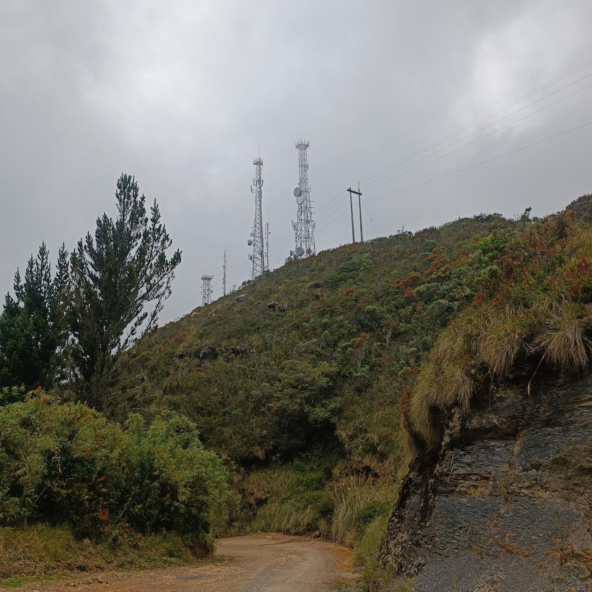
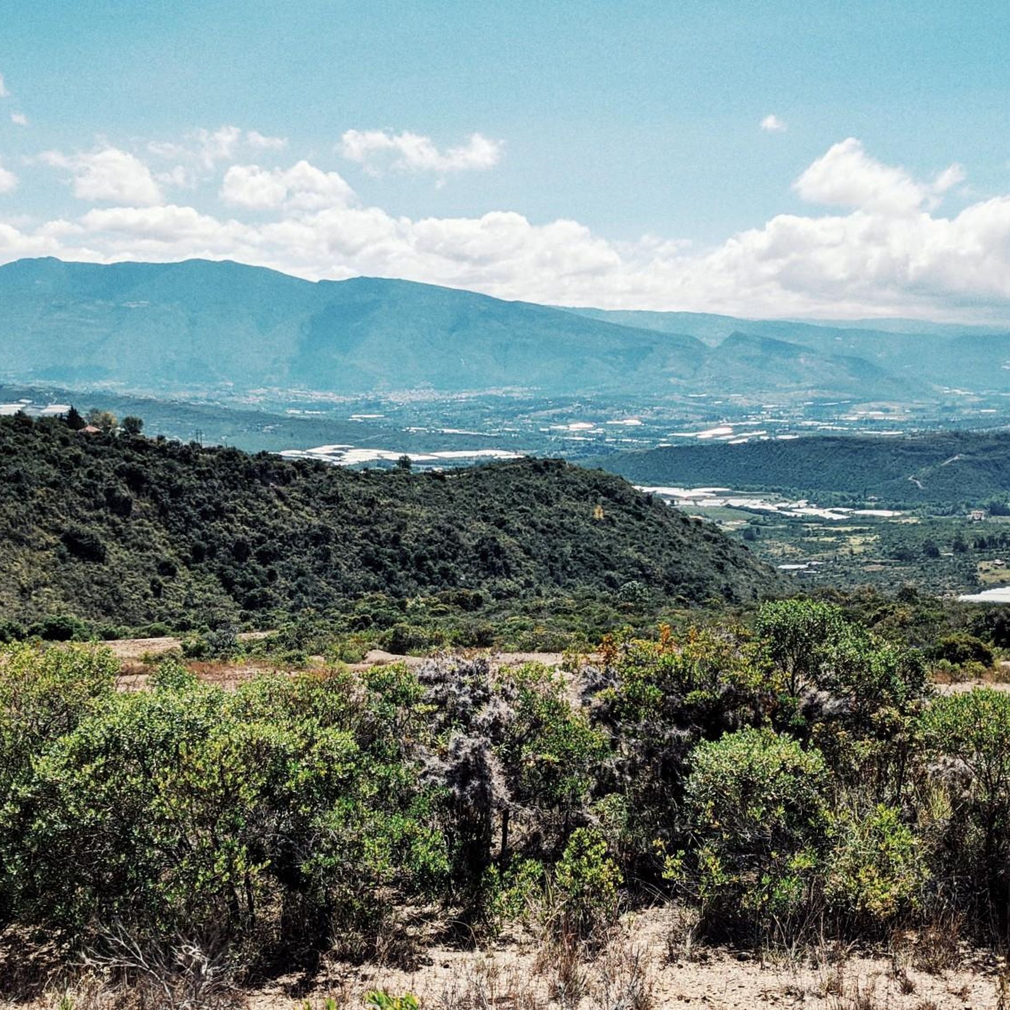
Jogging routes in Sutamarchán traverse a region characterized by its undulating and mountainous topography, featuring sandstone formations and rocky areas. The municipality, located on the Altiplano Cundiboyacense, offers varied terrain with elevations ranging from 1,800 to 2,095 meters above sea level. This diverse landscape provides a range of running experiences, from challenging inclines to scenic paths through natural features. The area's natural pools and olive groves also contribute to the varied scenery for runners.
Best jogging routes in Sutamarchán
- The…
Last updated: July 15, 2026
3.8
(10)
30
runners
10.1km
01:04
150m
150m
Moderate run. Good fitness required. Mostly paved surfaces. Suitable for all skill levels.
5.0
(3)
27
runners
3.94km
00:42
280m
280m
Moderate run. Good fitness required. Mostly paved surfaces. Suitable for all skill levels.

Sign up for free
7
runners
14.7km
01:39
250m
250m
Moderate run. Good fitness required. Mostly paved surfaces. Suitable for all skill levels.
6
runners
6.70km
00:59
330m
330m
Hard run. Very good fitness required. Mostly paved surfaces. Suitable for all skill levels.
4.5
(2)
6
runners
11.6km
01:15
200m
200m
Moderate run. Good fitness required. Mostly paved surfaces. Suitable for all skill levels.
Get access to more routes and recommendations from other explorers.
Sign up for free
Already have an account?
Our route recommendations are based on thousands of hikes, rides, and runs completed by other people on komoot.
Start today with a free account
Your next adventure awaits.
Login or Signup

Frequently Asked Questions
What kind of terrain can I expect on running trails in Sutamarchán?
Running in Sutamarchán offers a diverse experience, characterized by its undulating and mountainous topography. You'll encounter sandstone formations, rocky areas, and paths winding through picturesque olive groves. The varied terrain provides both challenging inclines and scenic, gentler stretches, making it suitable for different running preferences.
How many running routes are available in Sutamarchán?
Sutamarchán features nearly 20 dedicated running routes. These routes cater to various fitness levels, including easy, moderate, and difficult options, ensuring there's a suitable path for every runner.
Are there any easy running routes for beginners or a relaxed jog?
Yes, Sutamarchán offers a couple of easy running routes perfect for beginners or those seeking a more relaxed pace. These trails allow you to enjoy the scenic landscape without significant elevation challenges.
What do other runners enjoy most about jogging in Sutamarchán?
The running routes in Sutamarchán are highly rated by the komoot community, with an average score of 4.7 stars from 17 reviews. Runners often praise the varied terrain, the beautiful natural features like olive groves, and the overall engaging experience of exploring the region on foot.
Are there any specific landmarks or attractions I can see along the running routes?
While jogging, you can encounter several interesting points. For instance, the Running loop from Museo El Fósil starts near the Museo El Fósil, offering a cultural point of interest. The region also features natural highlights like the Pozos Azules and the serene Laguna de Iguaque, which, while not directly on all routes, are part of the broader scenic landscape that inspires many trails.
Are there any running routes that are particularly scenic?
Many routes in Sutamarchán are scenic due to the region's natural beauty. Trails often pass through olive groves and offer views of the undulating hills and sandstone formations. The Running loop from Villa de Leyva is a popular choice that showcases the local landscape.
What is the best time of year to go running in Sutamarchán?
Sutamarchán generally experiences a dry and warm climate with an average temperature of 17°C. This makes it pleasant for outdoor activities, including running, throughout much of the year. However, it's always advisable to check local weather forecasts closer to your visit.
Are there any long-distance running options in Sutamarchán?
Yes, for those looking for longer runs, routes like the Running loop from Museo El Fósil cover a significant distance of 9.1 miles (14.7 km), providing a good challenge and extended exploration of the local landscape.
Are there any circular running routes in the area?
Many of the running routes in Sutamarchán are designed as loops, offering convenient circular paths. Examples include the Running loop from Villa de Leyva and the Cristo loop from Villa de Leyva, allowing you to start and finish at the same point.
What are the more challenging running routes in Sutamarchán?
For experienced runners seeking a challenge, Sutamarchán offers several difficult routes. The Finca privada loop from Villa de Leyva is one such route, featuring a significant elevation gain of 328 feet (100 meters) over 4.2 miles (6.7 km), providing a demanding workout.
Is Sutamarchán suitable for family-friendly running or walks?
Sutamarchán is broadly considered a wonderful place to enjoy the outdoors with family. While specific 'family-friendly' running routes aren't explicitly categorized, the presence of easy routes and the general suitability for walking suggest that families can find enjoyable paths for lighter jogs or walks together.
Are there options for parking near the running trails?
While specific parking details for each trail are not always listed, many routes, especially those starting from towns like Villa de Leyva or near attractions, typically have accessible parking options nearby. It's recommended to check the starting point of your chosen route for local parking availability.
Most popular attractions in Sutamarchán

Get inspired with the komoot mobile app


Explore more
Browse the best Running Trails & Routes in other regions.
