The best cycling routes in Santa Sofía
4.8
(61)
468
riders
52
rides
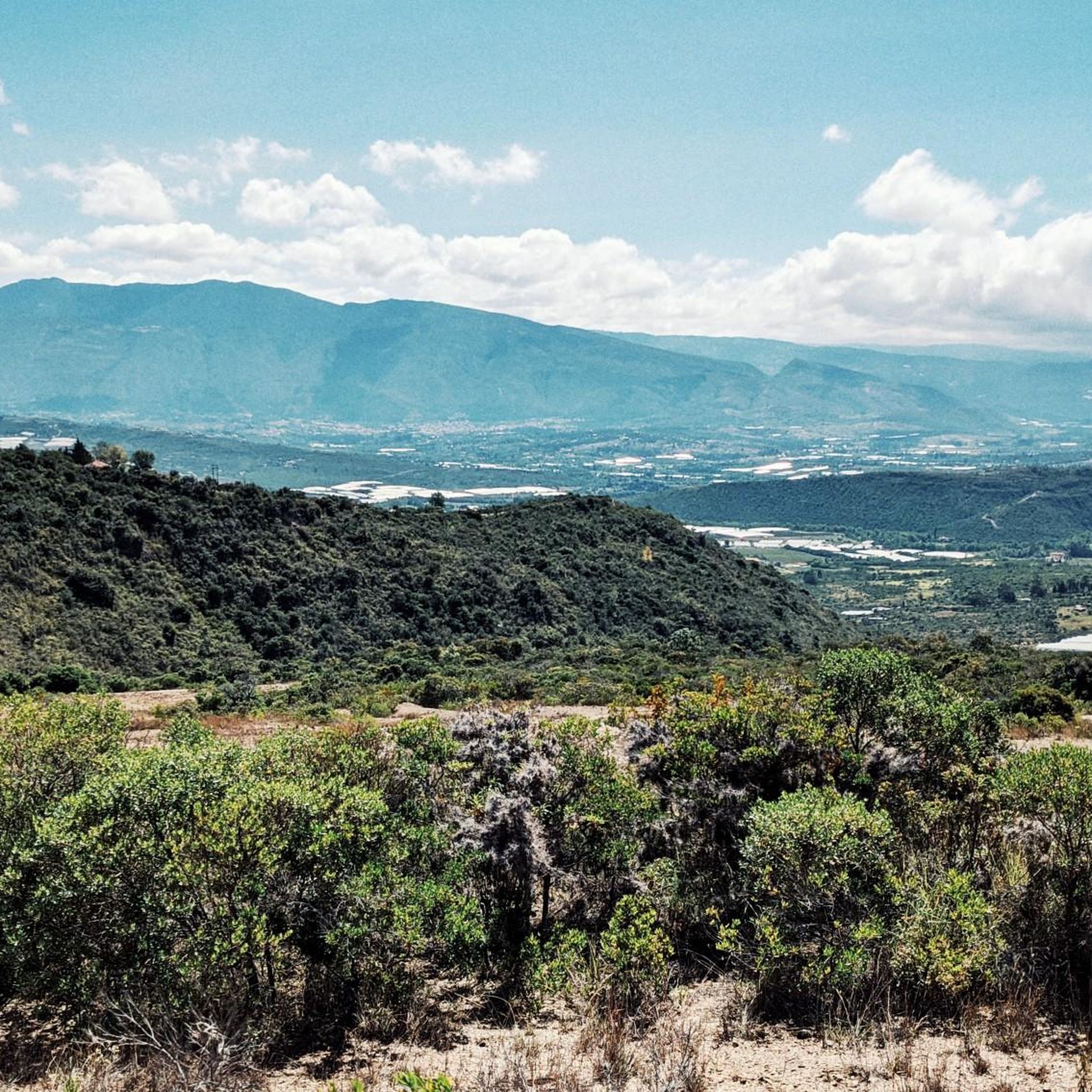
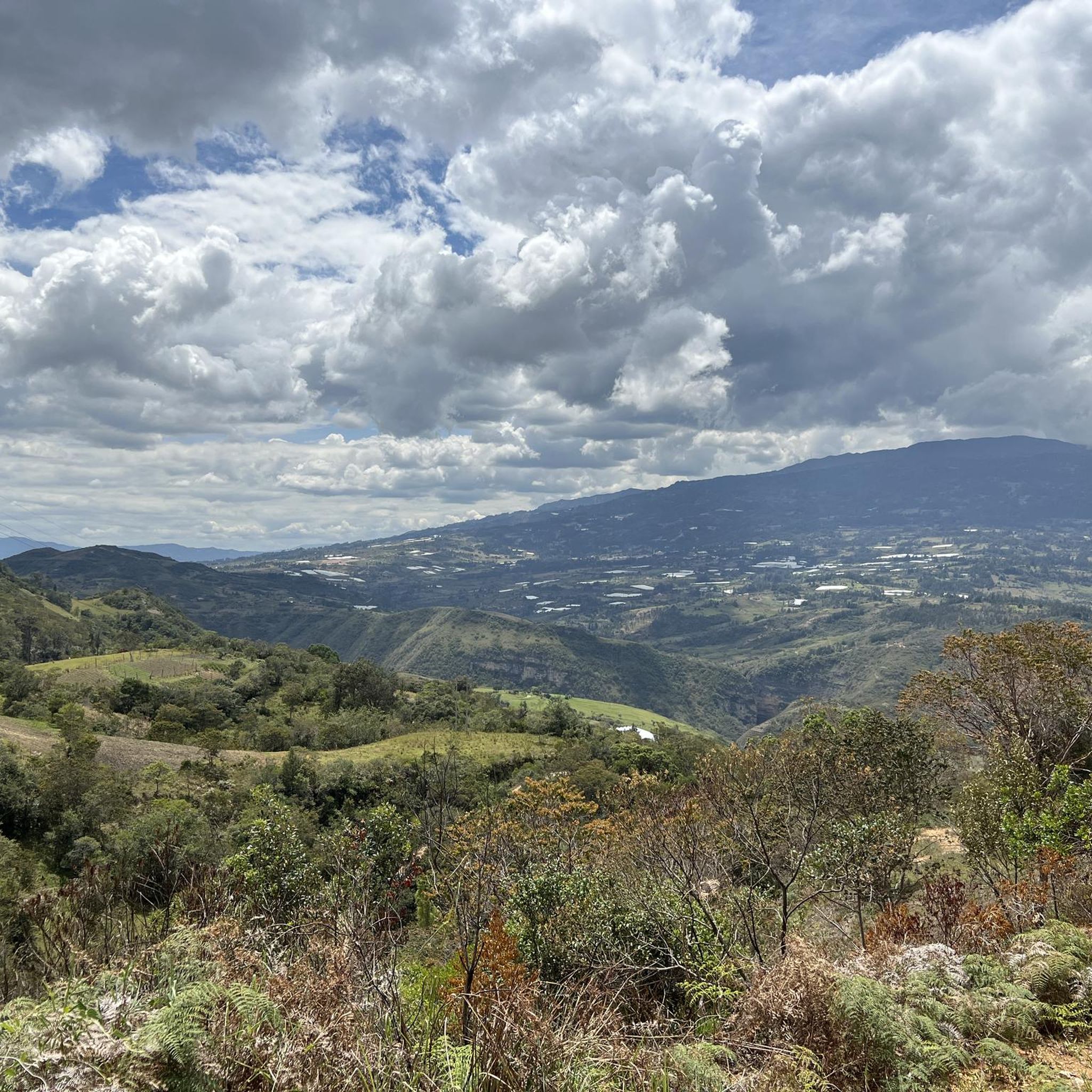
Touring cycling routes in Santa Sofía, Boyacá, Colombia, are characterized by mountainous terrain within the Eastern Cordillera of the Colombian Andes. The region features fertile valleys, rocky formations, and forests, offering diverse landscapes for cyclists. Routes often include significant elevation changes, providing challenging climbs and scenic vistas across the high-altitude environment. The area is known for its varied topography, making it a prime location for adventure and cycling.
Best touring cycling routes in Santa Sofía
- The most popular touring cycling…
Last updated: July 11, 2026
5.0
(1)
21
riders
Hard bike ride. Very good fitness required. Mostly paved surfaces. Suitable for all skill levels.
3
riders
38.2km
03:35
680m
680m
Hard bike ride. Very good fitness required. Mostly paved surfaces. Suitable for all skill levels.

Sign up for free
3
riders
11.6km
00:54
120m
120m
Easy bike ride. Great for any fitness level. Mostly paved surfaces. Suitable for all skill levels.
3
riders
Moderate bike ride. Good fitness required. Mostly paved surfaces. Suitable for all skill levels.
4
riders
Hard bike ride. Very good fitness required. Mostly paved surfaces. Suitable for all skill levels.
Get access to more routes and recommendations from other explorers.
Sign up for free
Already have an account?
Our route recommendations are based on thousands of hikes, rides, and runs completed by other people on komoot.
Start today with a free account
Your next adventure awaits.
Login or Signup


Tips from the Community

Lovely village with a big courtyard, plenty of restaurants and hotels available. A calm place to take a rest day.
1
0
Frequently Asked Questions
What kind of terrain can I expect on touring cycling routes in Santa Sofía?
Touring cycling in Santa Sofía, Boyacá, Colombia, primarily features mountainous terrain within the Eastern Cordillera of the Colombian Andes. You'll encounter fertile valleys, rocky formations, and dense forests. Routes often include significant elevation changes, providing challenging climbs and rewarding scenic vistas across the high-altitude environment.
How many touring cycling routes are available in Santa Sofía?
There are over 50 touring cycling routes available in Santa Sofía. These routes cater to various skill levels, with options ranging from moderate paths to more difficult routes featuring substantial climbs.
Are there any family-friendly touring cycling routes in Santa Sofía?
While many routes in Santa Sofía involve significant elevation changes, there are some moderate options available. For a less strenuous ride, consider routes that stick to the valleys or explore the outskirts of towns. Always check the route's elevation profile and distance to ensure it's suitable for your family's fitness level.
Can I find circular touring cycling routes in Santa Sofía?
Yes, Santa Sofía offers several excellent circular touring cycling routes. For example, the Colorful Bicycle Sculptures – Villa de Leyva loop from Gachantivá is a popular difficult route, and the Alto Matachín – Alto Mogotes loop from Parqueadero offers challenging climbs and panoramic views. Another option is the Río Cane – Colorful Bicycle Sculptures loop from Gachantivá, which leads through scenic river landscapes.
What natural attractions or landmarks can I see along the touring cycling routes?
Santa Sofía is rich in natural beauty and unique geological features. While cycling, you might encounter areas near the **Paso del Angel Adventure Park**, known for its hanging stairs and zipline. The region also boasts impressive caves and waterfalls, such as **La Cueva and Cascada del Hayal**, featuring a 25-meter waterfall and a 60-meter-deep cave. For unique geological formations, look out for areas around **El Hoyo de la Romera**, a natural sinkhole over 50 meters deep. You can also explore highlights like the Trail up to Las Cárcavas.
Are there any historical or cultural points of interest accessible by bike?
Yes, several routes can lead you to charming towns and historical sites. The nearby town of Villa de Leyva is a significant attraction, known for its colonial architecture and the expansive Plaza Mayor of Villa de Leyva. Routes like the Lago ramires loop from VILLA DE LEYVA offer a moderate way to explore the surroundings of this historic area.
What is the best season for touring cycling in Santa Sofía?
Santa Sofía benefits from a temperate climate, making it suitable for cycling for much of the year. However, the region's mountainous nature means weather can be variable. It's always best to check the local forecast before heading out, especially for higher elevation routes, to ensure optimal conditions for your ride.
What do other touring cyclists enjoy most about cycling in Santa Sofía?
The komoot community highly rates touring cycling in Santa Sofía, with an average score of 4.8 stars from over 55 reviews. Cyclists frequently praise the challenging climbs, the diverse and picturesque landscapes, and the rewarding panoramic views across the mountainous terrain. The unique blend of natural features and cultural points of interest also contributes to a memorable cycling experience.
Are there options for parking at the start of touring cycling routes?
Many touring cycling routes in Santa Sofía start from towns or designated areas where parking facilities are available. For instance, the Alto Matachín – Alto Mogotes loop specifically mentions starting from a 'Parqueadero' (parking lot), indicating convenience for those arriving by car. It's advisable to check the specific route details on komoot for parking information at your chosen starting point.
Are there any cafes or restaurants near the touring cycling routes in Santa Sofía?
Yes, as Santa Sofía and its surrounding towns are emerging hubs for nature and adventure tourism, you'll find various cafes and restaurants, particularly in and around population centers like Villa de Leyva and Gachantivá. Many routes either start from or pass through these areas, offering opportunities to refuel and relax. Always plan your stops in advance, especially on longer or more remote routes.
Are there any particularly challenging touring cycling routes for experienced riders?
Absolutely. Santa Sofía is known for its challenging terrain, making it a paradise for experienced cyclists. Routes like the Villa de Leyva – Loma La Cabrera loop from Reserva Natural de la Sociedad Civil KPL are classified as difficult, featuring significant elevation gains and testing climbs that will challenge your endurance while offering stunning vistas.
Can I bring my dog on touring cycling routes in Santa Sofía?
While many outdoor areas in Santa Sofía are dog-friendly, specific regulations may apply to certain trails, natural parks, or private lands. It's always best to check local signage or specific route information on komoot for any restrictions regarding pets. Ensure your dog is well-behaved, on a leash where required, and that you carry waste bags to maintain the cleanliness of the trails.
Most popular attractions in Santa Sofía

Get inspired with the komoot mobile app


Explore more
Browse the best Cycling routes in other regions.
