The best MTB trails in Gámeza
4.8
(8)
44
riders
2
rides
Mountain biking in Gámeza, located in the Colombian Department of Boyacá, offers diverse routes through its Andean topography. The region features a landscape of hills, slopes, and mountains, providing varied terrain for ascents and descents. Riders can explore areas near waterways like the Chicamocha River, which flows through canyons, and pass through eucalyptus forests. This mountainous environment is well-suited for off-road cycling adventures.
Best mountain bike trails in Gámeza
- The most popular mountain bike trail is Panadería Vals Castro –…
Last updated: July 15, 2026
5.0
(1)
15
riders
66.9km
04:39
1,250m
1,250m
Hard mountain bike ride. Very good fitness required. Suitable for all skill levels.
5.0
(2)
10
riders
23.2km
01:46
500m
500m
Moderate mountain bike ride. Good fitness required. Suitable for all skill levels.

Sign up for free
7
riders
33.1km
02:59
860m
860m
Moderate mountain bike ride. Good fitness required. Suitable for all skill levels.
4.0
(1)
4
riders
35.0km
03:23
1,120m
1,120m
Hard mountain bike ride. Very good fitness required. Suitable for all skill levels.
5.0
(2)
5
riders
49.5km
03:28
780m
780m
Moderate mountain bike ride. Good fitness required. Suitable for all skill levels.
Our route recommendations are based on thousands of hikes, rides, and runs completed by other people on komoot.
Start today with a free account
Your next adventure awaits.
Login or Signup
Popular around Gámeza
Tips from the Community

Old house located next to the banks of the Monquirá River
0
0
View to "The Pyramid". Unpaved road in relatively good condition
0
0
El Laguito Park and Iwoka Shopping Center. Meeting point for rides.
0
0
Reference point in Monquirá for bike outings, either to take to La Pirámide or El Azufre.
0
0
Representative place where you can find several establishments that offer mojicones, mantecadas, genoas and other culinary foods of the region.
0
0
Church to the Virgin of the "O" of Morcá. Located in the eastern sector of Sogamoso. From Mochacá there is a paved road in perfect condition. Since the ramada is mostly unpaved. Massively frequented by pilgrims on the first Saturday of each month.
0
0
Altar to the Virgin of Morcá. Just above the altar there is a footprint plate for the final shot before Morcá. 15% incline
0
0
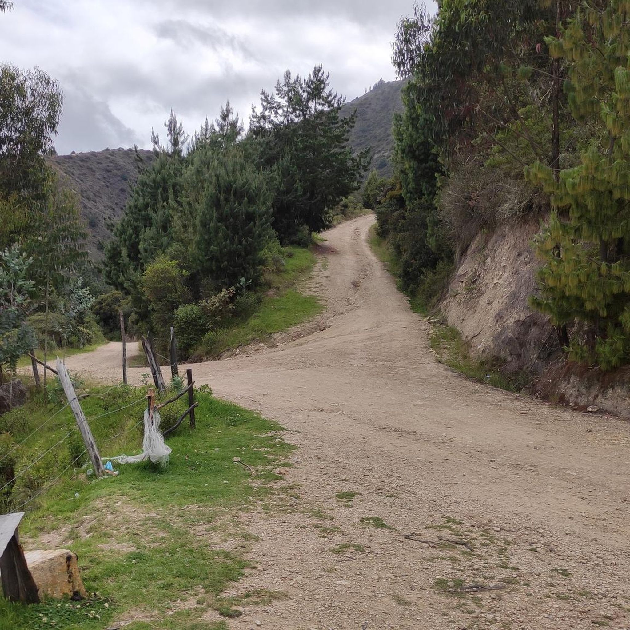
Road that leads to Morcá from La Ramada. Unpaved road. Segments with slopes of up to 15%. Just before reaching Morcá there is a plaque-footprint
0
0
Frequently Asked Questions
What kind of terrain can I expect on mountain bike trails in Gámeza?
Gámeza, nestled in the Colombian Andes, features a mountainous terrain with diverse hills, slopes, and ascents and descents. You'll encounter trails near waterways like the Chicamocha River, which flows through canyons, and ride through eucalyptus forests, offering varied and scenic environments for mountain biking.
Are there mountain bike trails suitable for beginners in Gámeza?
The mountain bike trails in Gámeza are generally categorized as moderate to difficult, reflecting the region's Andean topography. While there are no routes specifically listed as 'easy' in the current selection, some 'moderate' options like the Mountainbike loop from Chicamocha (23.2 km) or Piqueteadero La Horqueta – La Pirámide Waterfall loop from Chicamocha (32.9 km) might be more approachable for those with some experience.
What are the most challenging mountain bike trails in Gámeza?
For experienced riders seeking a challenge, Gámeza offers difficult trails with significant elevation changes. The Panadería Vals Castro – Gustavo Jiménez School loop from Tasco is a demanding 66.9 km route with over 1250 meters of ascent. Another difficult option is the Gustavo Jiménez School loop from Chicamocha, covering 35 km with over 1100 meters of climbing.
Are there any circular mountain bike routes in Gámeza?
Yes, many of the mountain bike routes in Gámeza are designed as loops, allowing you to start and finish in the same location. Examples include the Panadería Vals Castro – Gustavo Jiménez School loop from Tasco, the Piqueteadero La Horqueta – La Pirámide Waterfall loop from Chicamocha, and the Panadería Vad's Castro loop from Chicamocha.
What natural features or viewpoints can I expect to see while mountain biking in Gámeza?
Mountain biking in Gámeza offers routes with extensive views across the mountainous landscape of the Colombian Andes. You can expect to ride near waterways like the Chicamocha River, which carves through dramatic canyons, and pass through serene eucalyptus forests. The region's diverse topography provides numerous scenic vistas.
Are there any interesting landmarks or attractions near the mountain bike trails in Gámeza?
Yes, Gámeza and its surroundings offer several points of interest. Along your rides, you might encounter the Gámeza Canyon Climb, or pass by the Altar to the Virgin of Monguí. The region is also known for its archaeological significance, with trekking paths leading to Muisca petroglyphs along the Chicamocha River.
What do other mountain bikers enjoy most about Gámeza?
The mountain bike trails in Gámeza are highly rated by the komoot community, with an average score of 4.75 stars from over 5 reviews. Riders frequently praise the diverse Andean topography, the challenging ascents and descents, and the scenic routes that wind through river valleys and eucalyptus forests.
Are there any cafes or places to eat near the mountain bike trails in Gámeza?
While specific cafes directly on every trail are not detailed, the region offers local establishments. For example, the Panadería Vad's Castro is a highlight that could serve as a stop. Given Gámeza's focus on eco-tourism, you can often find local eateries in the town or nearby villages.
Is Gámeza suitable for family-friendly mountain biking?
The mountain bike trails in Gámeza are predominantly rated as moderate to difficult, which may be challenging for younger children or families new to mountain biking. For a family outing, it's advisable to assess the fitness and skill level of all participants carefully and consider the shorter 'moderate' routes available.
What is the best time of year to go mountain biking in Gámeza?
Gámeza, located in the Colombian Andes, generally experiences a tropical mountain climate. While specific seasonal recommendations for mountain biking are not provided, the region's natural beauty is accessible year-round. It's always a good idea to check local weather forecasts before your ride, especially regarding rainfall, which can affect trail conditions.
Are dogs allowed on the mountain bike trails in Gámeza?
Information regarding specific dog policies on Gámeza's mountain bike trails is not explicitly provided. It's generally recommended to check local regulations or signage at trailheads, and always ensure your dog is well-behaved, on a leash, and that you clean up after them to respect the natural environment and other users.
How long do mountain bike trails in Gámeza typically take to complete?
The duration of mountain bike trails in Gámeza varies significantly based on distance and difficulty. For instance, a moderate route like the Mountainbike loop from Chicamocha (23.2 km) can take around 1 hour 44 minutes, while a difficult and longer trail such as the Panadería Vals Castro – Gustavo Jiménez School loop from Tasco (66.9 km) might require about 4 hours 39 minutes.
Most popular routes in Gámeza
Most popular attractions in Gámeza

Get inspired with the komoot mobile app


Explore more
Browse the best MTB trails in other regions.
