The best walks and hikes around Heidenheim an der Brenz
4.6
(845)
4,305
hikers
421
hikes
Hiking around Heidenheim an der Brenz offers diverse landscapes within the eastern Swabian Alb. The region features a cultural landscape with vast juniper heaths, dense forests, and rolling hills. The picturesque Brenz river meanders through green valleys, and unique limestone rock formations are found in areas like the Wental. This varied terrain provides a range of hiking experiences.
Best hiking trails around Heidenheim an der Brenz
- The most popular hiking route is Steinheim Meteor Crater Rim – Gnannental Dam loop…
Last updated: August 19, 2026
4.9
(142)
411
hikers
24.9km
07:00
480m
480m
Hard hike. Very good fitness required. Mostly accessible paths. Sure-footedness required.
4.8
(27)
67
hikers
Easy hike. Great for any fitness level. Easily-accessible paths. Suitable for all skill levels.

Sign up for free
4.6
(14)
93
hikers
Moderate hike. Good fitness required. Easily-accessible paths. Suitable for all skill levels.
4.9
(89)
212
hikers
Easy hike. Great for any fitness level. Easily-accessible paths. Suitable for all skill levels.
4.3
(24)
91
hikers
6.92km
01:54
110m
120m
Easy hike. Great for any fitness level. Easily-accessible paths. Suitable for all skill levels.
Get access to more routes and recommendations from other explorers.
Sign up for free
Already have an account?
Our route recommendations are based on thousands of hikes, rides, and runs completed by other people on komoot.
Start today with a free account
Your next adventure awaits.
Login or Signup
Popular around Heidenheim an der Brenz

Main-Danube-Lake Constance Trail – Along iconic waters

Counting sheep on the Albschäfer Trail
Counting sheep on the Albschäfer Trail

Germany's Hohenlohe-Ostalb Cycle Route – From idyllic valleys to the Swabian Alb
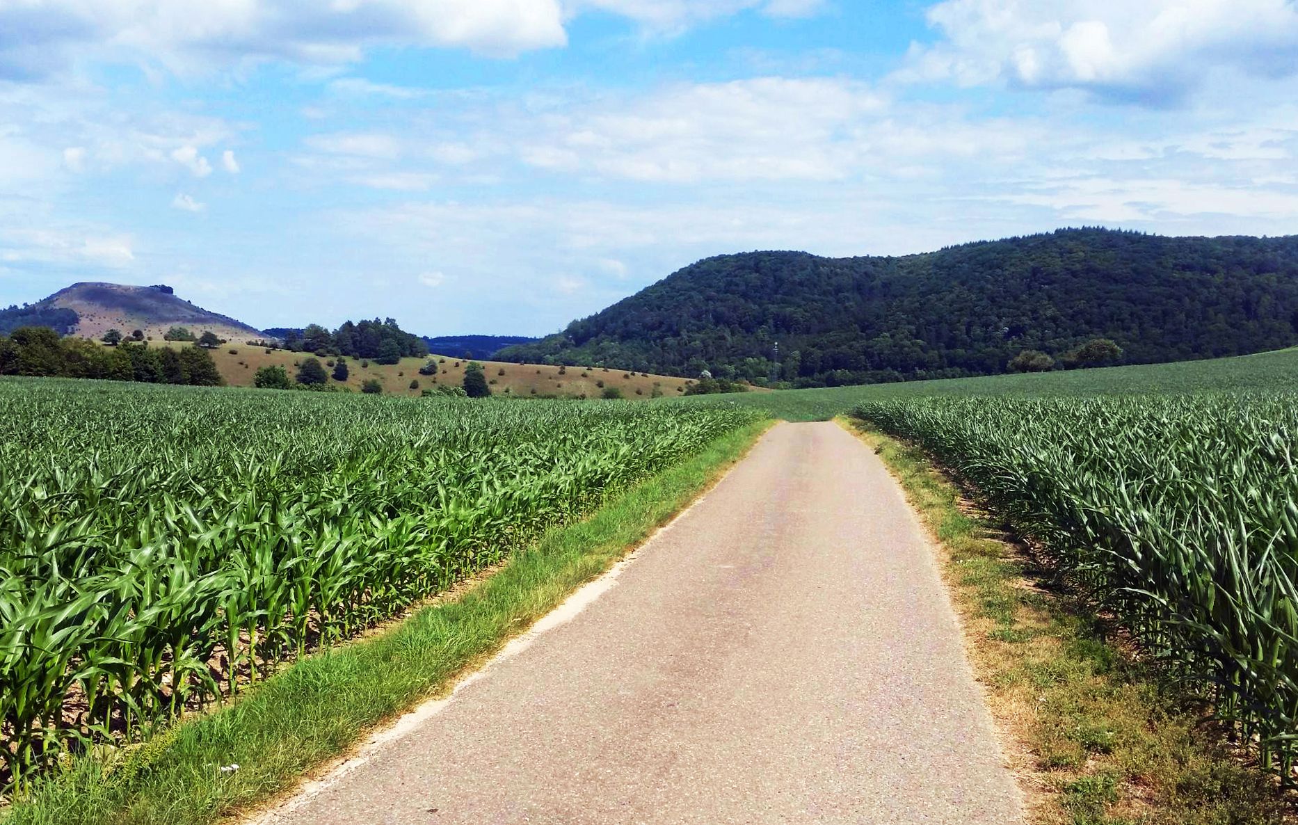
From Crater to Crater — 4 stages in the Geopark Ries and across the Swabian Alb
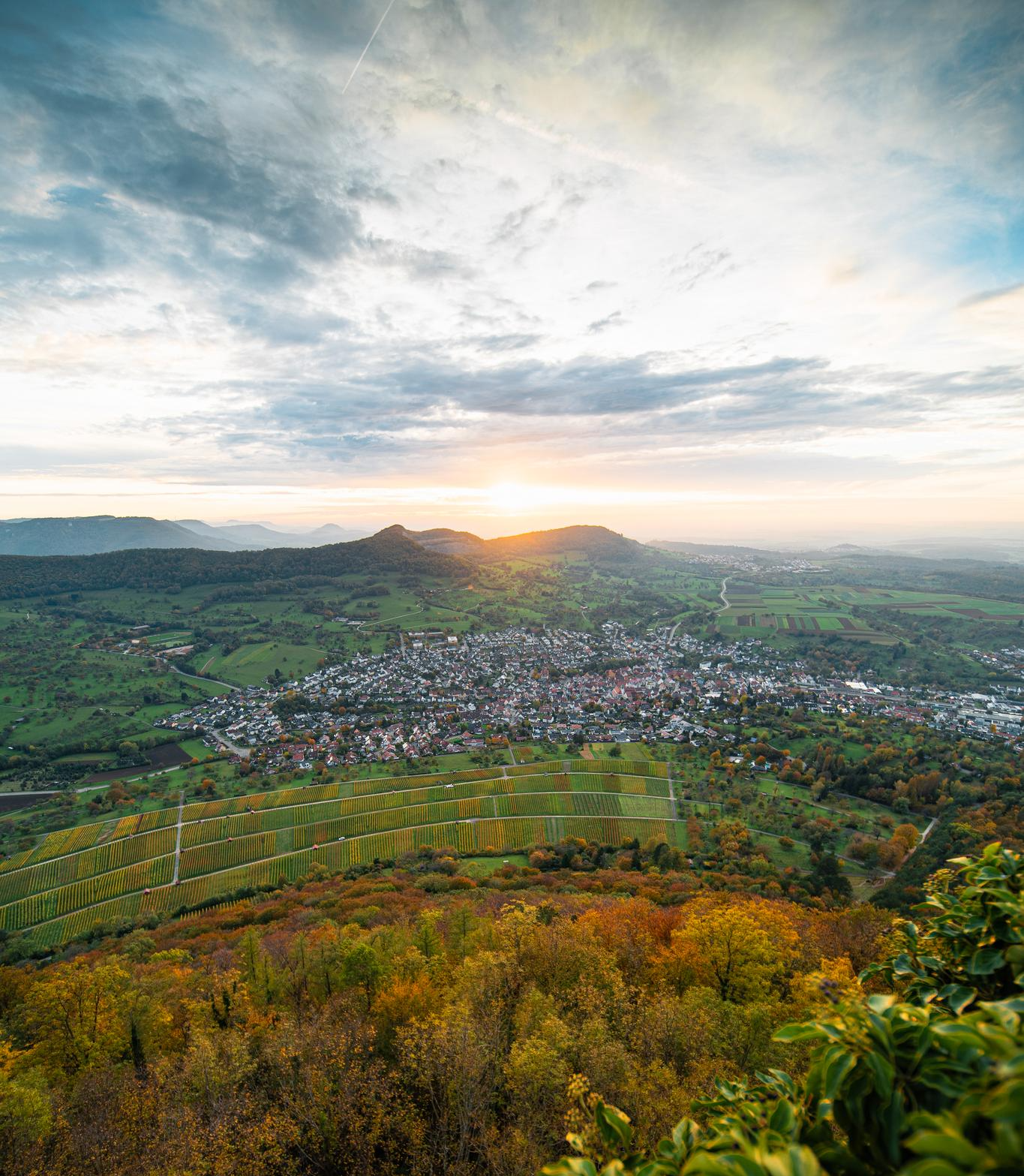
E-bike pleasure rides in the Swabian Alb
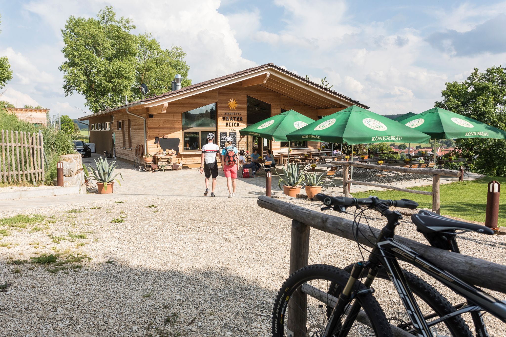
Cycling with all your senses on the Swabian Alb
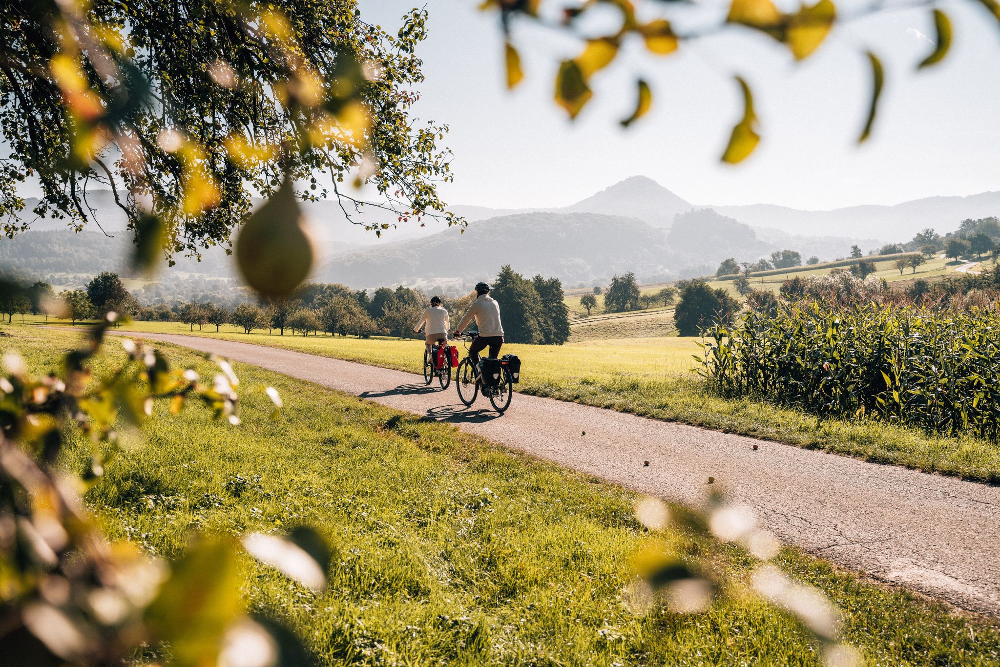
Cycle the Swabian Alb Cycle Path to Lake Constance
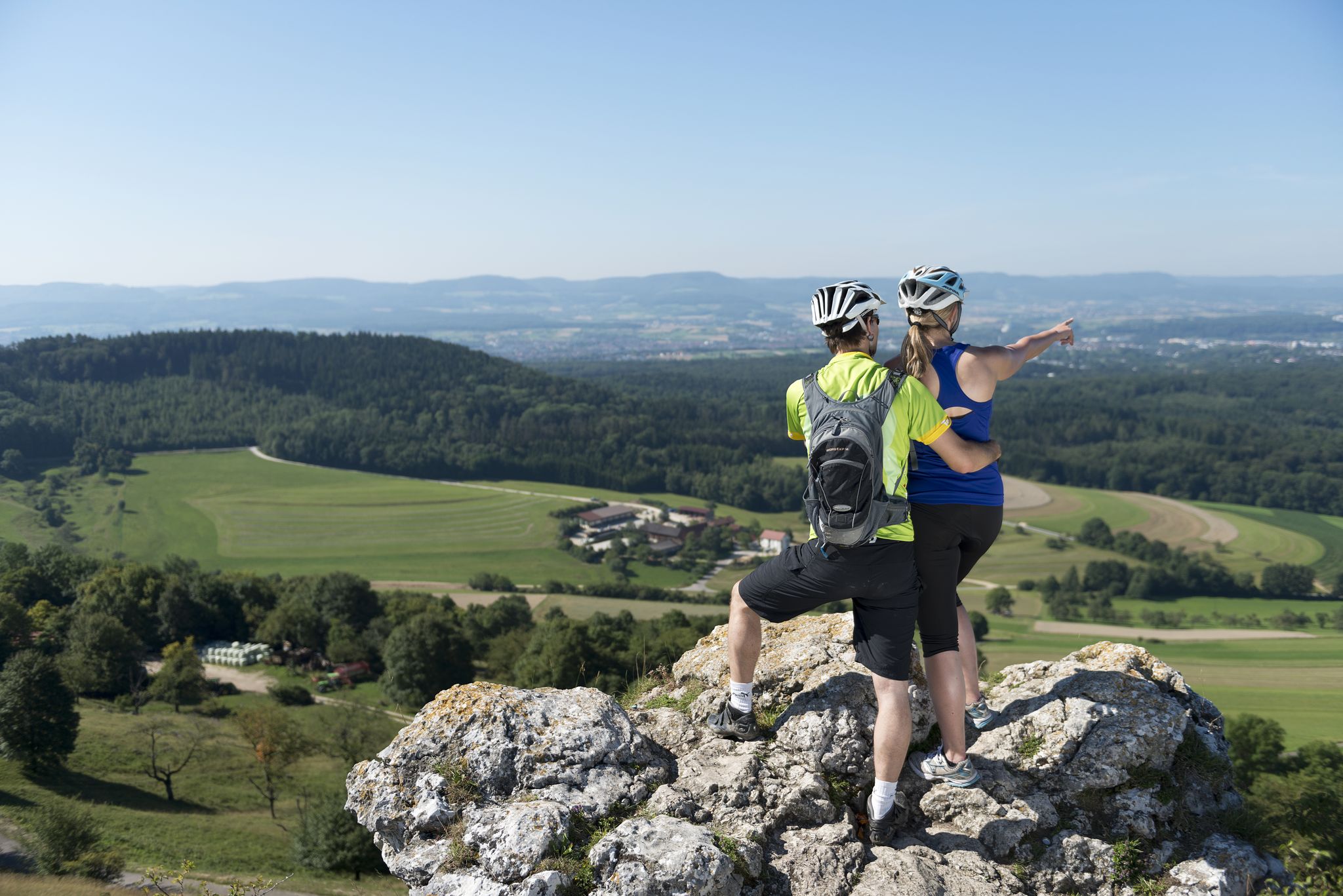
9 beautiful day rides in the Swabian Jura in Germany
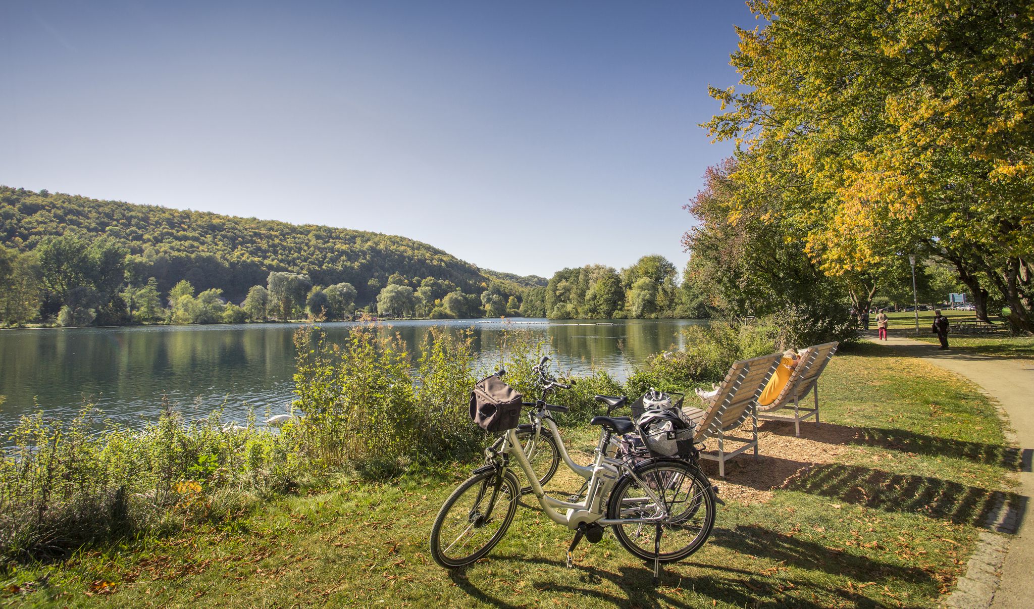
Prehistoric landscapes and the Ice Age – cycling in the Brenz region
Other adventures around Heidenheim an der Brenz


Tips from the Community

Beautifully situated in the middle of the forest. A bench invites you to linger for a while.
0
0
0.2 ha natural monument between Schnaitheim and Nattheim
0
0

Great heath landscape with a view of Steinheim
1
0
Heathland with a view of Steinheim
1
0

From here you have a good view of Sontheim and Steinheim.
2
0
Here it goes steeply uphill, at the top there is a table with benches and a great all-round view
3
0

Always much better off in the wildlife park
0
0
Frequently Asked Questions
What kind of terrain can I expect on hikes around Heidenheim an der Brenz?
The region around Heidenheim an der Brenz, part of the eastern Swabian Alb, features diverse terrain. You'll encounter vast juniper heaths, dense forests, and rolling hills. The picturesque Brenz river meanders through green valleys, and unique limestone rock formations are prominent in areas like the Wental. Trails range from gentle paths along riverbeds to more challenging ascents through wooded areas.
Are there any easy hiking trails suitable for beginners or casual walkers?
Yes, Heidenheim an der Brenz offers many easy hiking options. Over 270 routes are classified as easy. A popular choice is the Eichert Wildlife Park, Heidenheim – Hermannsfelsen loop from Heidenheim an der Brenz, an easy 3.6-mile (5.8 km) path that takes you through the Eichert Wildlife Park.
What natural landmarks or viewpoints can I discover on the trails?
The region is rich in natural landmarks. You can explore the unique rock formations of the Wental Rock Sea, with features like the 'Wentalweible' and 'Sphinx'. The scenic Eselsburger Valley, carved by the Brenz river, is another highlight. For panoramic views, consider routes that pass by the Aalbäumle Observation Tower or offer vistas towards Hermannsfelsen.
Are there any long-distance hiking opportunities in the area?
Yes, the certified Albschäferweg, a long-distance hiking trail spanning 158 km, traverses the region, providing excellent multi-day touring options for those seeking a more extensive adventure.
Are the hiking trails around Heidenheim an der Brenz suitable for families with children?
Many trails are family-friendly, especially the easier routes. The Eichert Wildlife Park, Heidenheim – Hermannsfelsen loop is a great option, as it leads through a wildlife park, offering engaging sights for children. The tranquil setting of the Itzelberger See also provides a pleasant environment for family walks.
Can I bring my dog on the hiking trails?
Yes, most hiking trails in the Heidenheim an der Brenz region are dog-friendly. It's always recommended to keep your dog on a leash, especially in wildlife areas like the Eichert Wildlife Park, and to be mindful of local regulations and other hikers.
Are there circular hiking routes available?
Yes, many routes around Heidenheim an der Brenz are designed as circular trails, allowing you to start and end at the same point. For example, the Birkel Cave – Saumahdbrunnen Spring loop is a 3.8-mile (6.2 km) circular trail that explores varied natural landscapes.
What is the best time of year to go hiking in Heidenheim an der Brenz?
The region offers enjoyable hiking experiences throughout much of the year. Spring brings blooming landscapes, while summer provides lush greenery. Autumn is particularly scenic with vibrant fall colors. Even in winter, some trails are suitable for hiking, especially those at lower elevations, offering a different kind of natural beauty.
Are there places to eat or rest along the hiking routes?
Yes, depending on the route, you can find options for refreshments. Some trails pass by or near establishments like the Waldschänke Ziegelhütte or other local eateries. It's always a good idea to check the specific route details on komoot for points of interest and refreshment stops.
What do other hikers enjoy most about the trails in Heidenheim an der Brenz?
The hiking trails in Heidenheim an der Brenz are highly rated by the komoot community, with an average score of 4.6 stars from over 700 reviews. Hikers often praise the diverse landscapes, from the unique rock formations of the Wental to the peaceful river valleys and dense forests. The variety of difficulty levels and well-maintained paths are also frequently highlighted.
Are there any challenging hikes for experienced trekkers?
Yes, for experienced hikers, there are more challenging routes available. For example, the Steinheim Meteor Crater Rim – Gnannental Dam loop from Mittelrainstraße is a difficult 15.5-mile (24.9 km) trail that takes about 7 hours to complete and offers expansive views across the landscape, including the Steinheim crater rim.
Where can I find parking for the hiking trails?
Parking availability varies by trailhead. Many popular starting points for hikes, especially those near towns or specific attractions, offer designated parking areas. It's advisable to check the route details on komoot for information on parking facilities near your chosen starting point.
Most popular routes around Heidenheim an der Brenz
Most popular attractions around Heidenheim an der Brenz

Get inspired with the komoot mobile app


Explore more
Browse the best Hikes in other regions.
