Gemeindefreies Gebiet Fichtelberg
Gemeindefreies Gebiet Fichtelberg
The 20 Most Amazing Peaks around Gemeindefreies Gebiet Fichtelberg
Best mountain peaks around Gemeindefreies Gebiet Fichtelberg are found within the Fichtel Mountains, an area known for its natural landscapes and recreational opportunities. This unincorporated, entirely forested state forest is located in the Bayreuth district of Upper Franconia, Bavaria. The region features prominent peaks, diverse granite formations, and extensive forests, making it a destination for outdoor activities. It is known for high peaks, observation towers, and unique rock formations.
Best mountain peaks around Gemeindefreies Gebiet Fichtelberg
- The most popular mountain…
Last updated: July 6, 2026
Asenturm on the Ochsenkopf
Highlight • Viewpoint
Translated by Google •
Tip by

Nusshardt Summit and Rock Formations
Highlight • Summit
Translated by Google •
Tip by

Sign up now to discover places like this
Get recommendations on the best single tracks, peaks, & plenty of other exciting outdoor places.
Sign up for free
Weissmain Rocks
Highlight • Natural Monument
Translated by Google •
Tip by

Ochsenkopf Summit — Bull’s Head Carving
Highlight • Summit
Translated by Google •
Tip by

Schneeberg summit - Backöfele observation tower
Highlight • Summit
Translated by Google •
Tip by

Sign up for free to discover even more peaks around Gemeindefreies Gebiet Fichtelberg.
Sign up for free
Already have an account?
Start today with a free account
Your next adventure awaits.
Login or Signup
Popular around Gemeindefreies Gebiet Fichtelberg
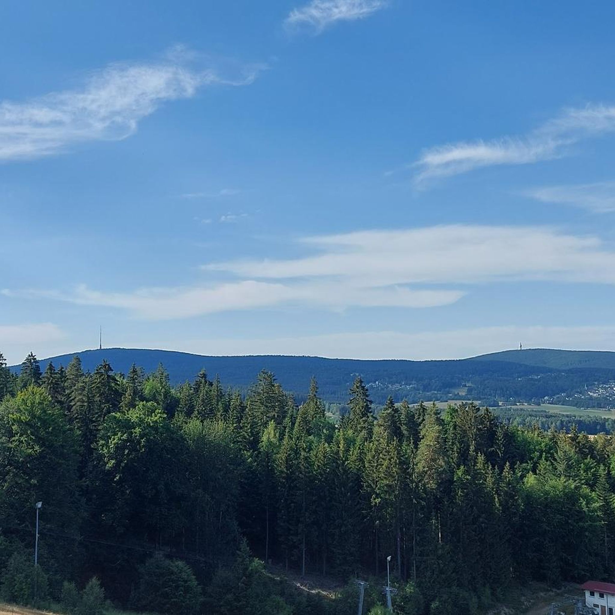
Hiking around Gemeindefreies Gebiet Fichtelberg
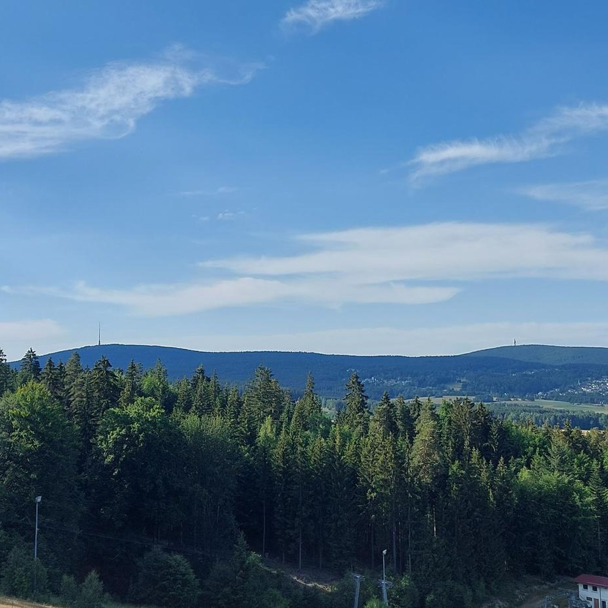
Road Cycling Routes around Gemeindefreies Gebiet Fichtelberg
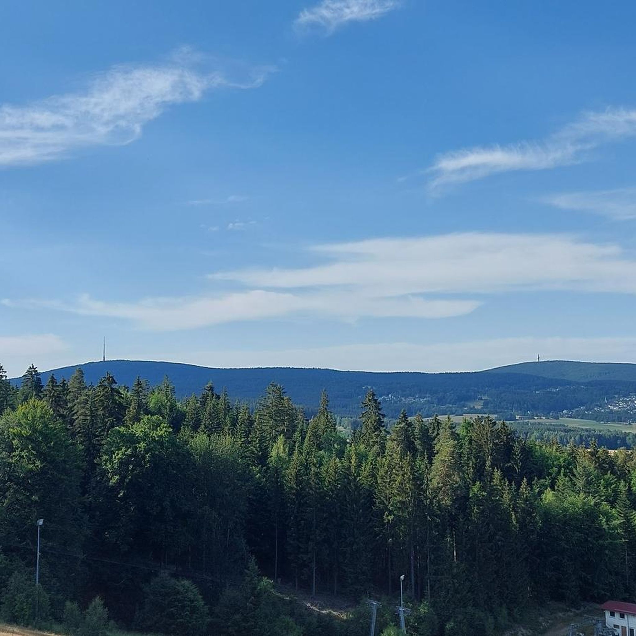
MTB Trails around Gemeindefreies Gebiet Fichtelberg
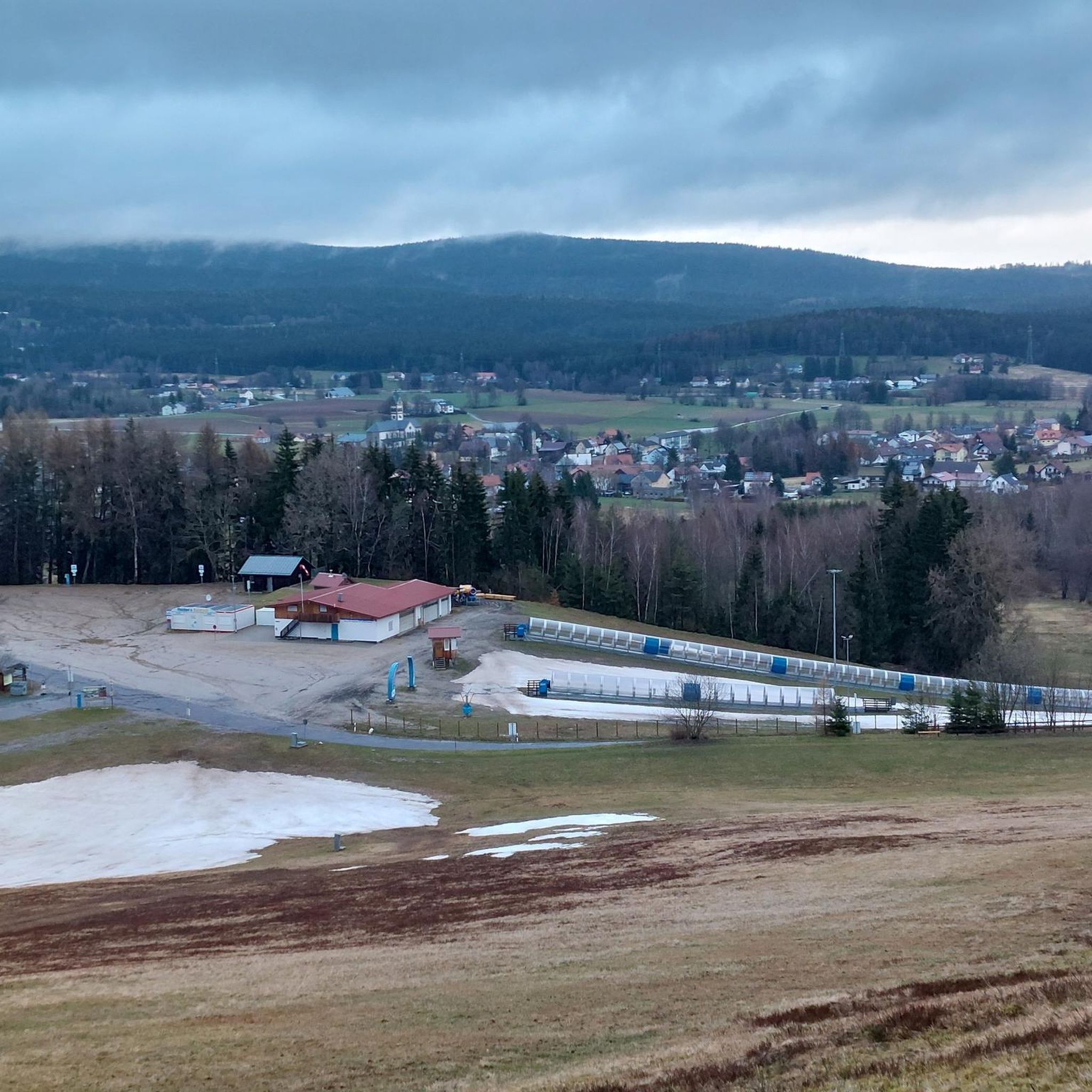
Cycling around Gemeindefreies Gebiet Fichtelberg
Running Trails around Gemeindefreies Gebiet Fichtelberg

Gravel biking around Gemeindefreies Gebiet Fichtelberg
Mountain Hikes around Gemeindefreies Gebiet Fichtelberg
Tips from the Community

Always a popular starting point and a great photo opportunity. The symbol of the Ochsenkopf is somewhat hidden not far from the mountain stations of the chairlifts. Pay attention to the signposts, the way there is signposted. From the landmark you have a wonderful view over the Fichtelgebirge.
11
1

The Nußhardt Stube is a cover cave. It is formed from the huge boulders of the Blockmeer on the summit. The entrance to the interior of the Nußhardt Stube is easy to miss. There are only two places where you can squeeze your way inside between the granite blocks.
28
0
Special rock formation with the symbol of the mountain that is hardly noticeable. It is now signposted.
21
2
At 1051 meters, the Schneeberg is the highest mountain in Northern Bavaria. For this reason alone, it should be visited during a hiking holiday in the Fichtelgebirge. It undoubtedly got its name from the snow, because at this altitude the snow falls very early and stays on the ground for a very long time.
16
2
On the summit of the Nußhardt, gneiss and granite rocks lie side by side. Individual mighty rock walls and towers stand in wild beauty. The view is gorgeous.
16
2

Great view of Bischofsgrün. Very attractive, especially in winter.
10
1

The name "Ochsenkopf" first appeared in mine records in 1495, when Lorenz von Ploben from Nuremberg received the mine on the Fichtelberge "near the Ochsenkopf" as a fief. This may be the first indication of the bull's head carved into a rock on the mountain top, which can still be seen today. Source from bayern-fichtelgebirge.de
21
1

A must-see of the ox head
10
1
Frequently Asked Questions
What are the most popular mountain peaks around Gemeindefreies Gebiet Fichtelberg?
The Fichtel Mountains, encompassing the Gemeindefreies Gebiet Fichtelberg, feature several highly regarded peaks. Among the most popular are the Weissmain Rocks, which offer extensive views over the Fichtelgebirge summits. Visitors also frequently enjoy the Nusshardt Summit and Rock Formations, known for its unique geological features like the Nußhardt Stube. Another favorite is the Kösseinehaus and Kösseine Observation Tower, providing panoramic views and a welcoming mountain hut.
What are the highest mountain peaks in the Fichtel Mountains?
The highest mountain in the Fichtel Mountains, and indeed in Upper Franconia, is Schneeberg, reaching an elevation of 1,051 meters (3,448 feet). The second highest is Ochsenkopf, standing at 1,024 meters (3,360 feet). Both offer distinct experiences and stunning views of the surrounding region.
What unique natural features can I find on the mountain peaks in this region?
The mountain peaks around Gemeindefreies Gebiet Fichtelberg are rich in natural wonders. Schneeberg features a unique glacial plant community and impressive granite rock formations, including a prominent rock pillar at its summit. On Nußhardt, you can explore the 'Nußhardt Stube,' a cover cave formed by massive boulders, and observe weathering hollows on the lookout rock. The Weissmain Rocks are a natural monument offering dramatic rock formations and expansive vistas.
Are there challenging hiking routes for experienced mountaineers?
Yes, the region offers challenging routes for experienced hikers. Schneeberg, as a nature reserve, is only accessible on foot or by bicycle, with various well-marked trails ranging from 5 to 8 km, some of which are quite demanding. The Fränkische Gebirgsweg (Franconian Mountain Trail) also passes directly over the Schneeberg summit. The Nusshardt Summit and Rock Formations also involves navigating impressive rock formations, offering a more rugged experience. For more advanced options, you can explore the Mountain Hikes around Gemeindefreies Gebiet Fichtelberg guide.
What kind of hiking trails are available around the Fichtelberg mountain peaks?
You'll find a diverse range of hiking trails, from easy strolls to more challenging ascents. Trails lead through dense forests, past unique rock formations, and to panoramic viewpoints. For example, the Asenturm on the Ochsenkopf can be reached via moderate trails, while Schneeberg offers longer, more strenuous routes. Many trails are well-marked, and you can find detailed information on various routes in the Mountain Hikes around Gemeindefreies Gebiet Fichtelberg guide.
Are there options for winter hiking in the Gemeindefreies Gebiet Fichtelberg mountains?
Yes, the Fichtel Mountains offer opportunities for winter hiking. While some areas might be dedicated to skiing or snowboarding, particularly around Ochsenkopf, many trails remain accessible for winter walks, often requiring appropriate gear. Ochsenkopf itself transforms into a winter sports paradise with cross-country skiing trails and toboggan runs, making it a great base for winter activities, including scenic winter hikes.
What other outdoor activities can I do near the mountain peaks?
Beyond hiking, the region offers a variety of outdoor activities. Ochsenkopf is particularly versatile, with mountain biking routes and a summer toboggan run in warmer months, and skiing and snowboarding in winter. You can also find excellent opportunities for running and cycling. Explore specific routes in the Running Trails around Gemeindefreies Gebiet Fichtelberg and Cycling around Gemeindefreies Gebiet Fichtelberg guides.
Are there family-friendly mountain peaks or trails in the Gemeindefreies Gebiet Fichtelberg region?
Absolutely. Ochsenkopf is highly family-friendly, offering easy access via two cable cars from Bischofsgrün and Fleckl/Warmensteinach. At the summit, the Asenturm on the Ochsenkopf provides spectacular views, and there are activities like a summer toboggan run and a tree-walk. Many trails around the base of the mountains are also suitable for families, with varying levels of difficulty.
How accessible are the mountain peaks, and are there options for those who prefer not to hike long distances?
Accessibility varies by peak. Ochsenkopf is the most accessible, with two cable cars (Seilbahn Ochsenkopf-Nord and Seilbahn Ochsenkopf-Süd) taking visitors directly to the summit, making it ideal for those who prefer not to hike long distances. Schneeberg, on the other hand, is a nature reserve and can only be accessed on foot or by bicycle, requiring a hike to reach its summit. Other peaks like Kösseine and Nußhardt are typically reached via hiking trails of moderate difficulty.
Which mountain peaks offer the best panoramic views?
For breathtaking panoramic views, several peaks stand out. The Schneeberg summit, with its Backöfele observation tower, offers extensive vistas of the Franconian and Thuringian Forests, as well as the Magpie and Ore Mountains. The Asenturm on the Ochsenkopf also provides spectacular views of the Fichtelgebirge and beyond. The Weissmain Rocks and the Kösseinehaus and Kösseine Observation Tower are also highly recommended for their expansive outlooks.
Do any of the mountain peaks have historical significance?
Yes, several peaks have rich histories. Schneeberg served as an important observation post as early as 1498 and later for military telecommunications surveillance during the Cold War, with remnants still visible. The name of Ochsenkopf, meaning 'bull's head,' appeared in mine records as early as 1495, and a bull's head carving can still be seen on the summit, as highlighted by the Ochsenkopf Summit — Bull’s Head Carving.
What is the best time of year to hike the Fichtelberg peaks?
The best time to hike the Fichtelberg peaks generally depends on your preferred activities. Spring and autumn offer pleasant temperatures and vibrant scenery, with fewer crowds. Summer is ideal for enjoying all activities, including mountain biking and the summer toboggan run on Ochsenkopf. Winter provides opportunities for snowshoeing and cross-country skiing, transforming the landscape into a snowy wonderland, especially around Ochsenkopf.
Most popular routes around Gemeindefreies Gebiet Fichtelberg
Most popular attractions around Gemeindefreies Gebiet Fichtelberg

Get inspired with the komoot mobile app


Explore more
See even more amazing summits around Gemeindefreies Gebiet Fichtelberg with these guides:
