Neukirchen bei Sulzbach-Rosenberg
Neukirchen bei Sulzbach-Rosenberg
The 20 Most Amazing Peaks around Neukirchen bei Sulzbach-Rosenberg
Best mountain peaks around Neukirchen bei Sulzbach-Rosenberg are found within the Bavarian Jura, characterized by rolling hills and dense forests. The region offers numerous elevated points and distinctive rock formations rather than towering peaks. These locations are notable for their scenic views, geological features, and historical relevance. The highest elevation within the municipality reaches approximately 650 meters.
Best mountain peaks around Neukirchen bei Sulzbach-Rosenberg
- The most popular mountain peaks is View of Happurger See from Hohler Fels, a viewpoint…
Last updated: July 6, 2026
View of Happurger See from Hohler Fels
Highlight • Viewpoint
Translated by Google •
Tip by

Moss-covered rock formations on the Hochberg
Highlight • Natural Monument
Translated by Google •
Tip by

Sign up now to discover places like this
Get recommendations on the best single tracks, peaks, & plenty of other exciting outdoor places.
Sign up for free
Ossinger Observation Tower and Ossinger Hut
Highlight • Viewpoint
Translated by Google •
Tip by

View from the Mühlkoppe
Highlight • Viewpoint
Translated by Google •
Tip by

Kreuzberg Summit (586 m)
Highlight • Summit
Translated by Google •
Tip by

Sign up for free to discover even more peaks around Neukirchen bei Sulzbach-Rosenberg.
Sign up for free
Already have an account?
Start today with a free account
Your next adventure awaits.
Login or Signup
Popular around Neukirchen bei Sulzbach-Rosenberg

All aboard for summer hiking with Germany’s VGN

Winter won't stop us – VGN tips for exploring Germany’s Franconia in the cold

Hike & Beer in Franconia and Upper Palatinate — the VGN leisure tips
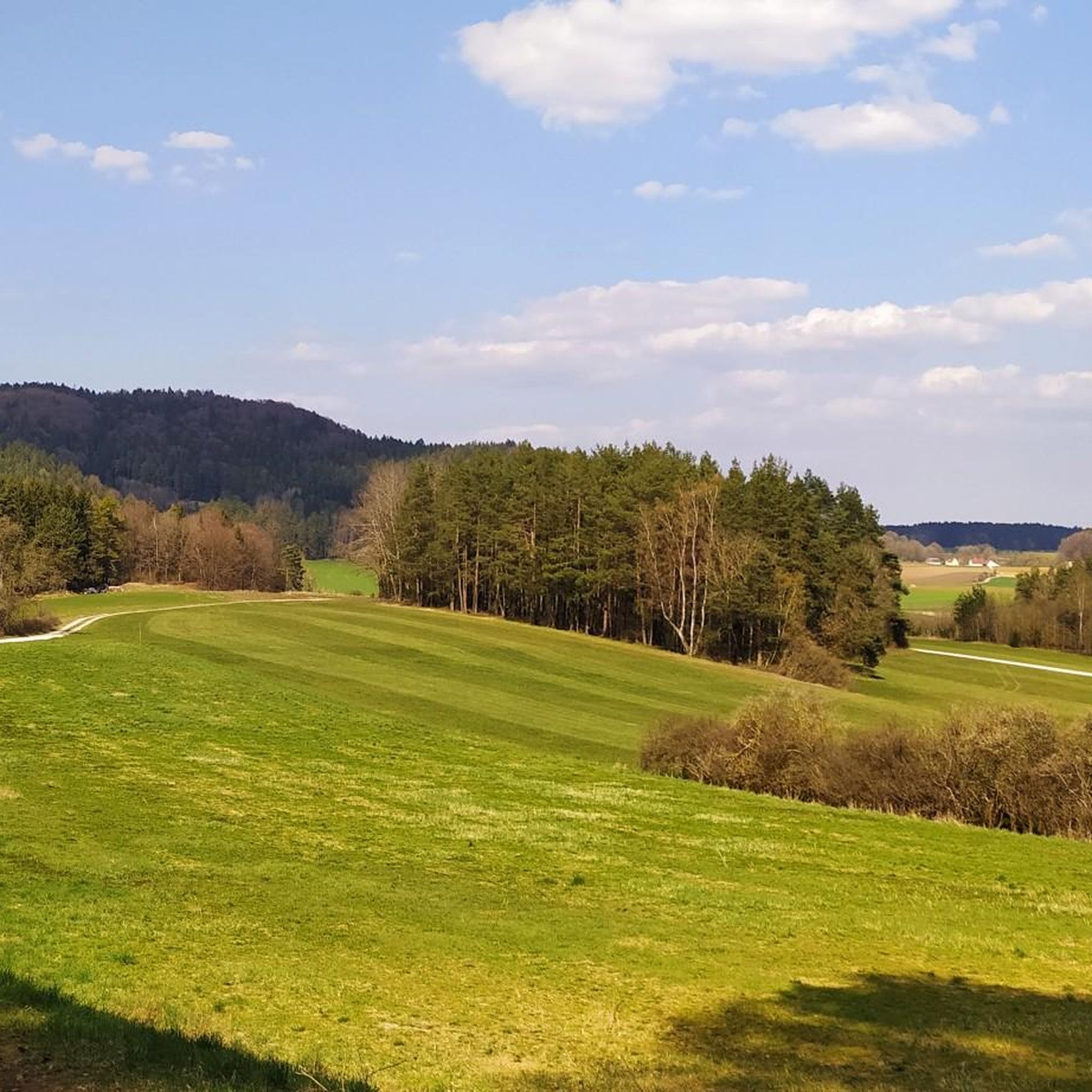
Hiking around Neukirchen bei Sulzbach-Rosenberg
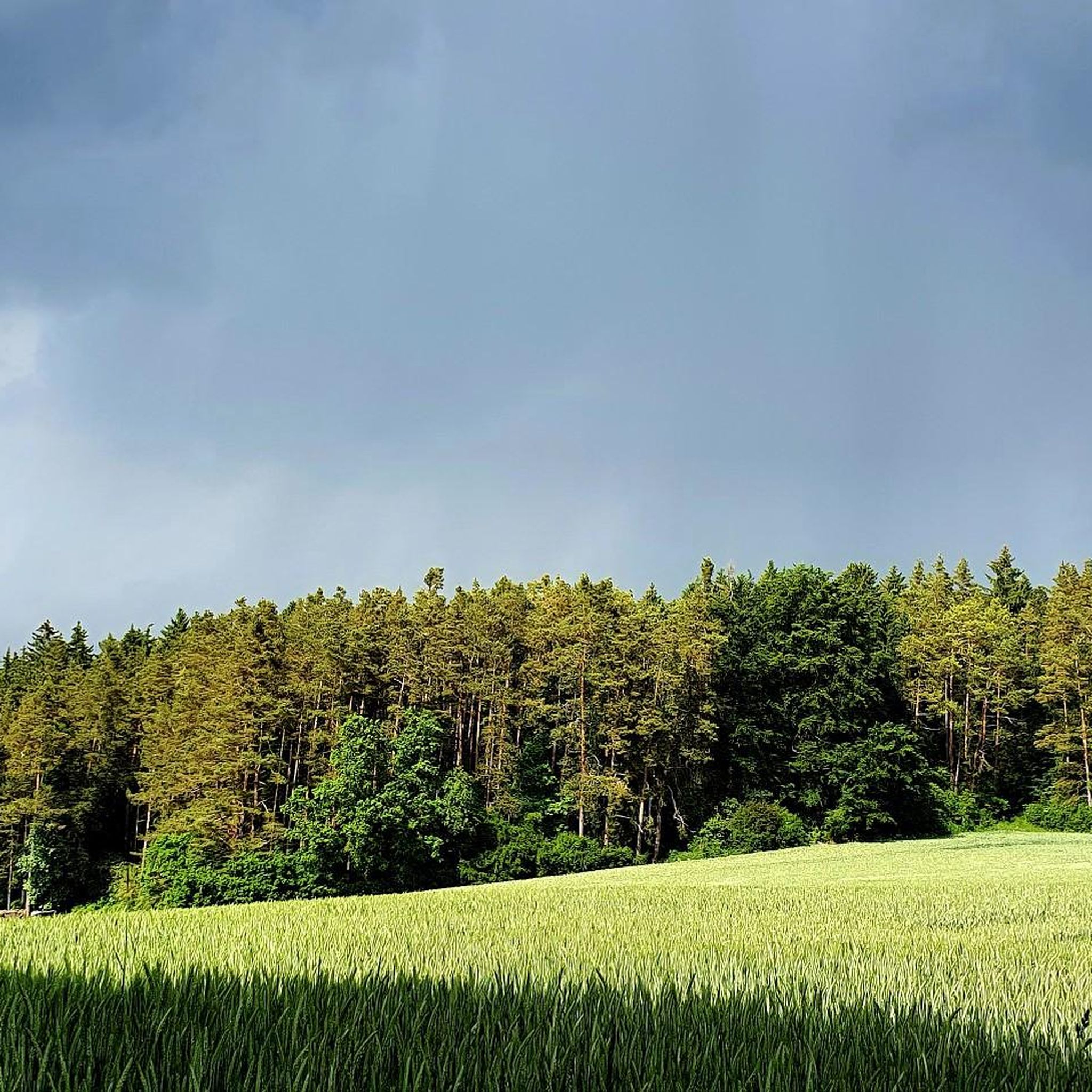
Cycling around Neukirchen bei Sulzbach-Rosenberg
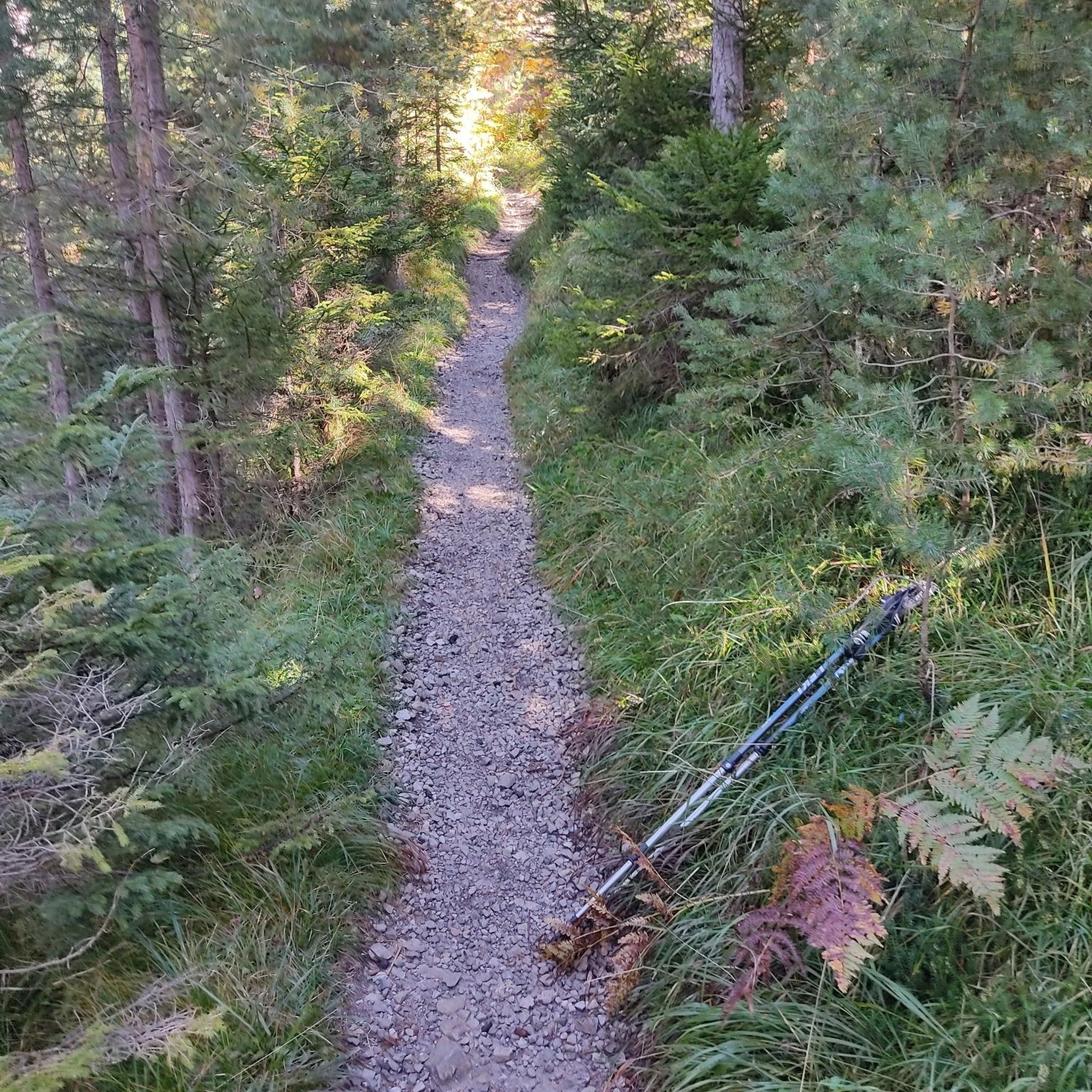
Mountain Hikes around Neukirchen bei Sulzbach-Rosenberg
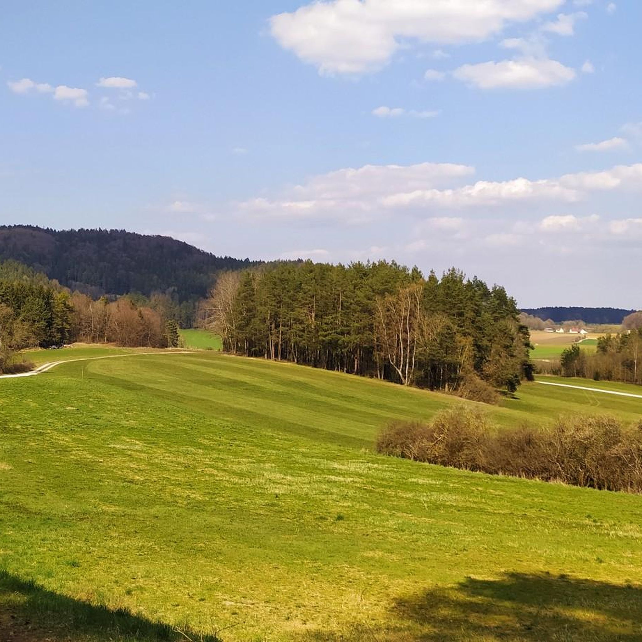
Road Cycling Routes around Neukirchen bei Sulzbach-Rosenberg
MTB Trails around Neukirchen bei Sulzbach-Rosenberg
Gravel biking around Neukirchen bei Sulzbach-Rosenberg
Running Trails around Neukirchen bei Sulzbach-Rosenberg
Other adventures around Neukirchen bei Sulzbach-Rosenberg

Tips from the Community

Recommended destination with refreshments. However, the hut is not always open, so clarify beforehand. The location is very nice.
10
0

Caution is required in autumn as the stones can be very slippery due to leaves and moisture.
2
1

Wonderful vantage point with a bench. Further ahead - towards the edge of the rock - there is another small summit cross.
6
0
Magnificent boulders overgrown with moss in the quiet forest.
3
1

Beautiful cross and an additional highlight on the Mühlkoppe.
6
0

There are many impressive large moss covered stones and the artwork "High Mountain Shoes", 2 red high heels carved out of wood.
3
0
I find the Mühlkoppe even more beautiful as a vantage point and photo spot than the Hohle Fels. The energy on the Mühlkoppe is so peaceful. In contrast to the High Rock, there was no one there. There is a summit cross and a bench with the best view of the opposite peaks and the valley to Pommelsbrunn. A few meters further along the path there is a second bench. I will certainly visit the Mühlkoppe again soon. That's how she impressed me.
7
1
The archaeological circular trail offers a varied themed trail with numerous information boards through beautiful rock formations, sure-footedness and sturdy shoes are required.
7
0
Frequently Asked Questions
What are some of the most scenic viewpoints in the Neukirchen bei Sulzbach-Rosenberg region?
The region offers several stunning viewpoints. The View of Happurger See from Hohler Fels provides magnificent views of the Happurg reservoir and surrounding area. Another popular spot is the Ossinger Observation Tower and Ossinger Hut, where the tower offers a panoramic view of the Franconian and Upper Palatinate country. You can also enjoy splendid vistas from the View from the Mühlkoppe, overlooking the Högenbachtal and Pommelsbrunn.
Are there any historical sites or unique geological features to explore on the peaks?
Yes, the region is rich in both. Hartenfels, a prominent lookout rock, not only offers panoramic views but also features distinctive caves and riffdolomite rock formations. Historically, it was home to a medieval defensive structure. The Moss-covered rock formations on the Hochberg are part of an archaeological circular trail with information boards about a Celtic castle. The Osterhöhle area, while not a peak, is known for its rugged rocks and forests, and the cave itself is a show cave with magnificent stalactites and evidence of Iron Age use.
What is the best time of year to visit the mountain peaks around Neukirchen bei Sulzbach-Rosenberg?
The elevated areas and peaks around Neukirchen bei Sulzbach-Rosenberg are best enjoyed during spring and autumn. These seasons offer pleasant weather for hiking and exploring the varied landscape of forests and rugged rocks.
Are there any challenging trails for experienced hikers in the area?
Yes, for those seeking a challenge, the Kreuzberg Summit (586 m) offers a somewhat steep and difficult climb, especially with fallen leaves, requiring careful footing. The region also features routes that lead past Neidstein Castle, caves like the Franzosenloch, and the Rupprechtstein, providing rewarding experiences in a low-traffic natural environment.
What kind of outdoor activities can I do near these mountain peaks?
The region is ideal for nature lovers, offering numerous opportunities for hiking and exploring. You can find a variety of hiking routes, including easy, moderate, and difficult options. For example, there are routes like the 'Geiskirche Cave – Rock shelter at Lenzenberg loop' or the 'Frenchmen's Cave – Frauenfels Rock Formation loop'. You can find more details on these and other hiking routes in the Hiking around Neukirchen bei Sulzbach-Rosenberg guide. Additionally, there are options for gravel biking, with routes like the 'Pegnitz Riverside Trail'.
Are there any places to eat or rest near the mountain peaks?
Yes, you'll find options for refreshments. The Ossinger Observation Tower and Ossinger Hut features a mountain hut that is managed and offers hearty meals. Near the Osterhöhle, there is a charming forest tavern (Waldschänke) that provides refreshments and cave tours during its opening hours.
What do visitors enjoy most about the mountain peaks around Neukirchen bei Sulzbach-Rosenberg?
Visitors particularly appreciate the magnificent views from spots like Hohler Fels, which also offers comfortable seating for a rest. The varied hiking trails, often paired with interesting historical data about Celtic castles, and the beautiful rock formations are also highly valued. Many enjoy the blend of natural beauty, historical significance, and opportunities for relaxation at mountain huts or taverns.
Are there any family-friendly options for exploring the elevated areas?
While specific 'family-friendly' categories aren't always listed, many trails in the region are suitable for families. The archaeological circular trail on the Hochberg, featuring Moss-covered rock formations, offers a varied themed trail with information boards and opportunities for children to play and explore. The Osterhöhle area, with its show cave and nearby Waldschänke, also provides a unique and accessible experience for families.
Where can I find more information about the Neukirchen bei Sulzbach-Rosenberg region?
For general information about the municipality, you can visit the official tourism page for the region at frankentourismus.de.
What is the highest elevation point in the municipality of Neukirchen bei Sulzbach-Rosenberg?
The highest elevation within the municipality reaches approximately 650 meters. While the region is characterized by rolling hills and dense forests, these elevated points offer significant scenic views and geological features.
Can I find circular hiking trails that include some of these peaks?
Yes, the region is known for its circular hiking trails. For instance, the area around Hartenfels is part of a roughly 10 km hiking tour that includes cave exploration and a forest tavern. The Osterhöhle area is also easily accessible and forms part of popular circular hiking trails, blending natural wonders with local hospitality.
Most popular routes around Neukirchen bei Sulzbach-Rosenberg
Most popular attractions around Neukirchen bei Sulzbach-Rosenberg

Get inspired with the komoot mobile app


Explore more
See even more amazing summits around Neukirchen bei Sulzbach-Rosenberg with these guides:
