The 10 Most Amazing Peaks around Weißenbrunn
Best mountain peaks around Weißenbrunn are found within the Franconian Forest, characterized by a picturesque hilly landscape rather than towering summits. This region offers extensive forested ridges and valleys, providing numerous opportunities for hiking and experiencing elevated viewpoints. The diverse terrain makes the area ideal for nature lovers seeking tranquil, green environments and scenic vistas.
Best mountain peaks around Weißenbrunn
- The most popular mountain peaks is 🏛️ Radspitz Tower, a viewpoint that features a square stone tower on the…
Last updated: July 1, 2026
🏛️ Radspitz Tower
Highlight • Viewpoint
Translated by Google •
Tip by

Steinberger Cross
Highlight • Monument
Translated by Google •
Tip by

Sign up now to discover places like this
Get recommendations on the best single tracks, peaks, & plenty of other exciting outdoor places.
Sign up for free
Geuserberg Summit Cross and Rest Area
Highlight • Summit
Translated by Google •
Tip by

Großer Roter Bühl
Highlight • Summit
Translated by Google •
Tip by
View of Seibelsdorf from the Radspitze paragliding launch site
Highlight • Viewpoint
Translated by Google •
Tip by
Sign up for free to discover even more peaks around Weißenbrunn.
Sign up for free
Already have an account?
Start today with a free account
Your next adventure awaits.
Login or Signup



Tips from the Community

Please note: West of the Roten Bühl, a large amount of forest has been cleared, and new paths have been created in the process. Here, you have to explore the paths yourself, and sometimes you won't find the old, familiar paths again. It's impossible to get lost, as a wide forest road leads around three-quarters of the hill a little lower down. From the forest road, a beautiful forest path leads west to the 7Fuhren (7-horse carriages), and from there, you'll eventually reach the Lucas Cranach Tower, which is well-marked. You can also head for the houses north of the hill and walk back to Staibra on the paved road.
0
0

Height according to the sign 708 m above sea level. Not spectacular but still worth a detour
0
0
You don't even have to go as far as the cross to find a worthwhile destination here. The Eichenbühl has always been a magnificent vantage point on the western edge of the Franconian Forest. And for connoisseurs there has always been a beautiful little path around the summit. All of this has improved again, because currently (May 2024) the meadow path is beautifully mown and by cutting down spruce trees along the path, the view from the southeast (Fichtel Mountains) to the northeast to the Thuringian Forest is possible. It is best to leave the car on the Kapellenweg on the edge of the forest about 100 m behind the end of the village of Eichleithen. Then you go on a little discovery tour, because the circular route is not yet listed on OSM and Komoot. If you can't find it, look here https://www.komoot.com/de-de/tour/1578282365 or in the Bavaria Atlas.
0
0

A bit through the bushes, then you come to the cross. If you look closely, you can see the path. Unfortunately no bench here, but a view.
0
0

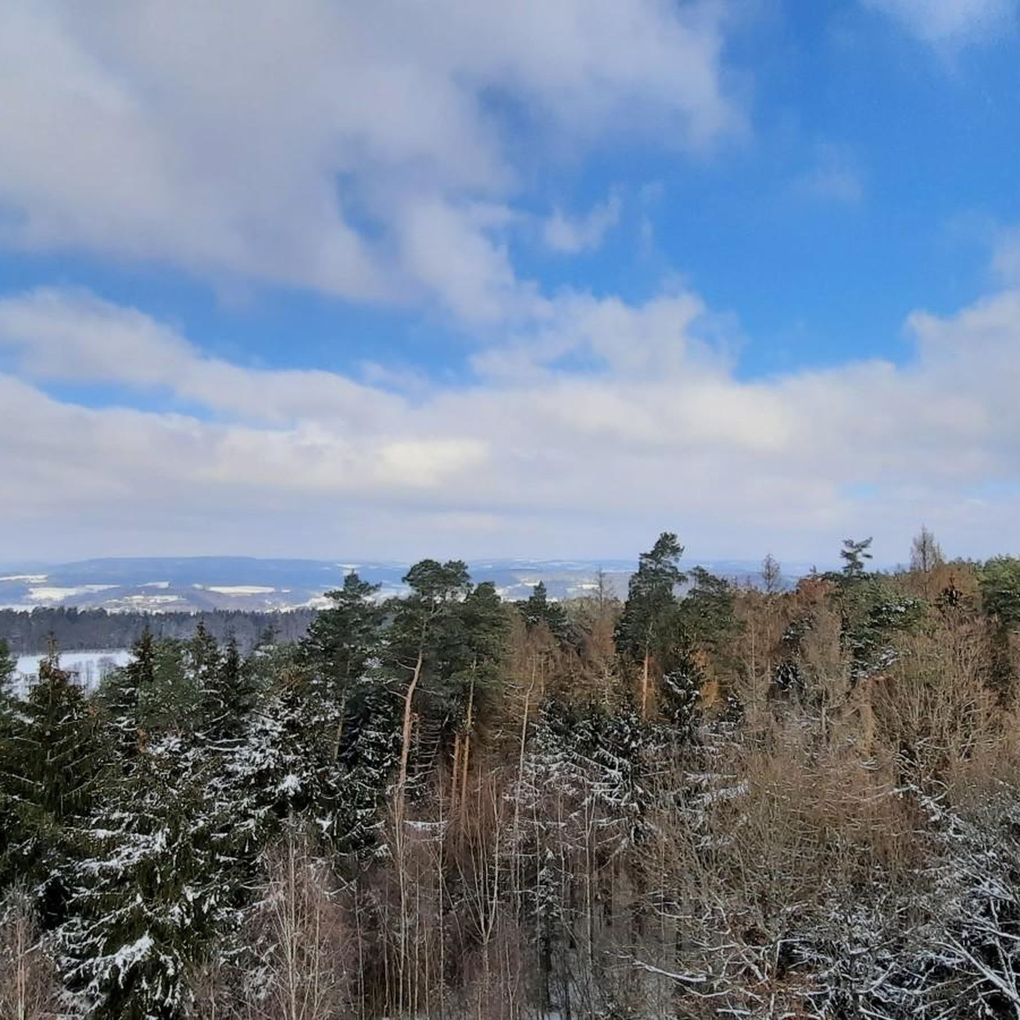
A square stone tower stands on the 678 meter high Radspitze north of Seibelsdorf on the Franconian Forest range of hills. The upper floor is paneled with larch wood and has a roof. The viewing terrace is 12.5 meters high, and there is another platform at a height of 18 meters. A comprehensive overview is offered. In the south-east you can see the Fichtelgebirge, in the south the Franconian Jura plateau with Staffelberg, in the west the Steigerwald, Hassberge and Rhön, in the north-west the Thuringian Forest and the Franconian Forest. The tower was built in 1955 with a height of 16 meters. After the lease with Loewe Opta in Kronach expired, the tower was raised and renewed in 1969. After renovations in 1980 and a general renovation in 2000, on the occasion of the 75th anniversary of the Franconian Forest Association local group Seibelsdorf, the tower shines in its current form.
3
0

Currently completely open again. Edit: February '23 closed again!
3
0
Wonderfully mystical even in rain and fog
2
0

Here I was lucky enough to pass the Franconian Forest Hiking Marathon 2021. A wonderful photo opportunity. Above the sunshine and in the valley the fog.
2
0
Frequently Asked Questions
What are the most popular viewpoints around Weißenbrunn?
The region around Weißenbrunn is known for its scenic viewpoints. Among the most popular are the Radspitz Tower, which offers a comprehensive panoramic view from its 12.5-meter-high viewing terrace. Another favorite is the View of Seibelsdorf from the Radspitze paragliding launch site, providing magnificent vistas into the plain, extending to distant landmarks.
Are there any man-made monuments or historical sites on the peaks near Weißenbrunn?
Yes, beyond natural elevated points, you can find man-made monuments that offer great views. The Steinberger Cross is a notable example, visible from the valley and providing a nice view from its elevated position. Additionally, the Radspitz Tower itself is a square stone tower with historical significance, first built in wood in 1886 and rebuilt in its current form in 1955.
What kind of natural features can I expect to see in the hilly landscape around Weißenbrunn?
The region is characterized by the picturesque hilly landscape of the Franconian Forest, featuring extensive forested ridges and valleys. You'll encounter diverse flora and fauna, tranquil green environments, and elevated points offering panoramic views over the Franconian countryside. Rivers like the Rodach and Haßlach, and idyllic lakes such as the Döbraer See, also contribute to the area's natural appeal.
What is the best time of year to visit the mountain peaks and viewpoints around Weißenbrunn?
The Franconian Forest is beautiful year-round, but autumn is particularly recommended for hiking due to the changing colors of the leaves. Spring and summer offer lush greenery and pleasant temperatures for outdoor activities. While winter hiking is possible, be prepared for colder conditions and potentially snow-covered trails.
Are there family-friendly hiking options to reach these elevated spots?
Many trails in the Franconian Forest are suitable for families, offering varying levels of difficulty. While specific family-friendly highlights aren't detailed, the general hilly landscape provides numerous opportunities for leisurely walks to elevated points. Routes like the 'Lucas-Cranach-Turm – Sandgrubenteich Weißenbrunn Runde' are described as moderate, suggesting they could be manageable for active families.
What outdoor activities can I do near the mountain peaks around Weißenbrunn?
The region offers a wide range of outdoor activities. Besides hiking to viewpoints and summits, you can enjoy cycling on routes like those found in Cycling around Weißenbrunn, or explore more challenging terrain with gravel biking, as detailed in Gravel biking around Weißenbrunn. There are also numerous Running Trails around Weißenbrunn, including routes that pass by significant landmarks like the Lucas Cranach Tower.
Are there any challenging trails for experienced hikers near Weißenbrunn?
Yes, for those seeking more demanding routes, the region offers trails categorized as difficult. For instance, the 'Aussicht auf Wötzelsdorf – Aussichtspunkt Kirchleuser Knock Runde' is a challenging hike requiring very good physical condition. Some gravel biking routes, like 'Through three districts – from the Upper Main Jura to Franconian Switzerland,' are also rated as difficult, providing a strenuous workout.
Where can I find a summit with good views that is less frequented?
The Geuserberg Summit Cross and Rest Area, at 708 meters, offers good views due to recent deforestation. While it has a private hiking hut, the west side of the Geuserberg is particularly beautiful with great views and less-traveled paths. It's the only mountain in the Radspitz area reaching over 700m.
Is the <a href="https://www.komoot.com/highlight/2950887" target="_blank" rel="noopener">Großer Roter Bühl</a> worth visiting?
While the Großer Roter Bühl summit itself is noted for not having a bench or a view, it offers profound peace and quiet due to being less visited. The surrounding forest paths, particularly the old forest path on the south side, are interesting to explore and can be found on Komoot maps. It's a place for those who enjoy discovering hidden trails and solitude.
Are there any dog-friendly trails around the mountain peaks near Weißenbrunn?
The Franconian Forest generally welcomes dogs on its extensive network of hiking trails. While specific dog-friendly designations for each peak are not provided, the natural, forested environment is ideal for walks with pets. Always ensure your dog is on a leash where required and respect local wildlife.
What amenities are available near the hiking areas, such as cafes or rest stops?
While specific cafes directly on the peaks are rare, the region offers various options in nearby towns and villages. The Geuserberg Summit Cross and Rest Area has a private hiking hut that offers rain protection, suitable for a snack break. Many hiking routes will lead you through or near communities where you can find places to eat and rest after your outdoor activity.
How accessible are the mountain peaks around Weißenbrunn by public transport?
Information on direct public transport to specific mountain peaks is limited. However, Weißenbrunn and surrounding towns are generally connected by regional bus services. It's advisable to check local public transport schedules to plan your journey to the starting points of hiking trails. Parking is often available near popular trailheads for those traveling by car.
Most popular routes around Weißenbrunn
Most popular attractions around Weißenbrunn

Get inspired with the komoot mobile app


Explore more
See even more amazing summits around Weißenbrunn with these guides:
