The best running trails in San Antonio De La Cal
4.5
(22)
290
runners
18
runs
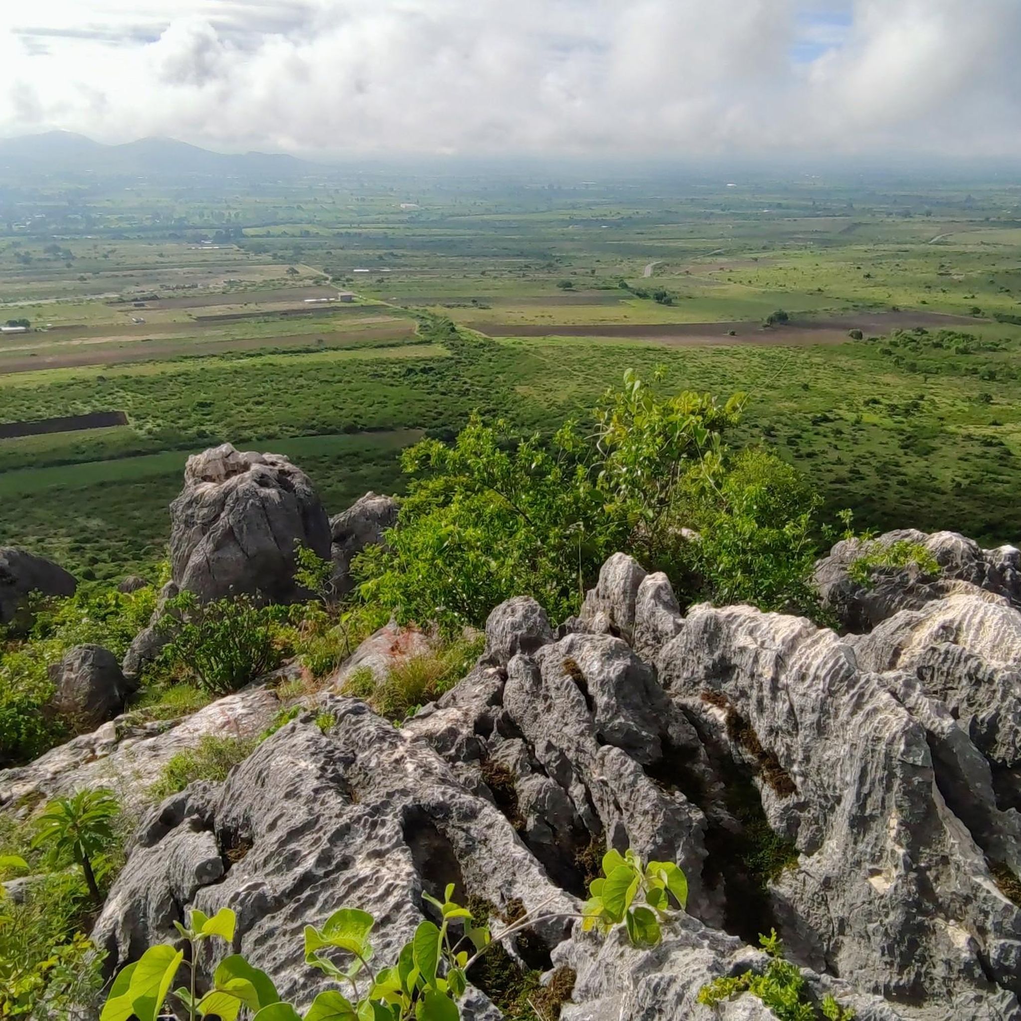
Jogging in San Antonio De La Cal offers access to a diverse landscape within the Valles Centrales region of Oaxaca, Mexico. The area features varied terrain, including hills such as La Culebra and El Cacalote, providing opportunities for routes with elevation changes. Proximity to the Salado and Atoyac rivers suggests potential for scenic paths along their banks. This location provides a mix of local running paths and access to broader regional running opportunities near Oaxaca City.
Best jogging routes in…
Last updated: July 5, 2026
4.0
(2)
25
runners
Moderate run. Good fitness required. Mostly paved surfaces. Suitable for all skill levels.
5.0
(1)
12
runners
5.30km
00:38
140m
140m
Hard run. Good fitness required. Sure-footedness, sturdy shoes and alpine experience required.

Sign up for free
19
runners
5.44km
00:34
10m
10m
Moderate run. Good fitness required. Mostly paved surfaces. Suitable for all skill levels.
5.0
(2)
14
runners
Moderate run. Good fitness required. Mostly paved surfaces. Suitable for all skill levels.
4.0
(1)
7
runners
6.50km
00:42
50m
50m
Moderate run. Good fitness required. Mostly paved surfaces. Suitable for all skill levels.
Get access to more routes and recommendations from other explorers.
Sign up for free
Already have an account?
Our route recommendations are based on thousands of hikes, rides, and runs completed by other people on komoot.
Start today with a free account
Your next adventure awaits.
Login or Signup
Popular around San Antonio De La Cal


Tips from the Community

The steps take you to Oaxaca's local mountain, Cerro del Fortín, just outside the center. From the top you are rewarded with a magnificent view of Oaxaca. However, you should not go up in the dark.
0
0
Frequently Asked Questions
How many running routes are available in San Antonio de la Cal?
Komoot offers nearly 20 dedicated running routes in San Antonio de la Cal and its immediate surroundings. These routes cater to various fitness levels, from moderate loops to more challenging trails with significant elevation changes.
What kind of terrain can I expect when jogging in San Antonio de la Cal?
The region offers a diverse landscape for runners. You'll find varied terrain including rolling hills like La Culebra and El Cacalote, providing opportunities for routes with elevation changes. There are also scenic paths potentially along the Salado and Atoyac rivers, and urban sections, especially on routes originating from nearby Oaxaca City.
Are there routes suitable for beginners or those looking for an easy run?
Yes, while many routes offer a moderate challenge, there is at least one easy route available. For a relatively flat option, consider the Running loop from Santa Cruz Xoxocotlán, which has minimal elevation gain and covers about 5.4 km.
Can I find challenging trails for experienced runners in the area?
Absolutely. For those seeking a more demanding run, San Antonio de la Cal offers several difficult routes. The Running loop from Oaxaca City is a popular choice, spanning 7.7 km with significant elevation gain. Another challenging option is the Fuente Jardín Carbajal loop from Oaxaca City, a 5.3 km route with notable ascents.
Are there any loop routes for jogging in San Antonio de la Cal?
Yes, many of the running paths in the area are designed as loops, allowing you to start and finish at the same point. Examples include the Fuente Jardín Socrates loop from Oaxaca City (8.3 km) and the Fuente de exalumnos – Fuente suroeste del Zócalo loop from Oaxaca City (9.8 km).
What do other runners enjoy most about jogging in San Antonio de la Cal?
The running routes in San Antonio de la Cal are highly rated by the komoot community, with an average score of 4.6 stars from over 20 reviews. Runners often praise the varied terrain, which includes both urban and natural landscapes, and the accessibility to a diverse range of routes from moderate to difficult.
Are there longer running routes available for endurance training?
For longer runs, you can explore routes that extend further into the surrounding areas. The Fuente de exalumnos – Fuente suroeste del Zócalo loop from Oaxaca City is one of the longer options at 9.8 km, offering a good distance for endurance. The broader Oaxaca region also features routes like the Libramiento del Norte, an abandoned highway ideal for longer, car-free runs.
What are the best seasons for running in San Antonio de la Cal?
San Antonio de la Cal benefits from a temperate climate, making it suitable for running year-round. However, the cooler, drier months from October to May are generally preferred, offering more comfortable temperatures for outdoor activities. The rainy season (June to September) can bring lush greenery but also higher humidity and occasional downpours.
Are there any running routes with good viewpoints in the San Antonio de la Cal area?
While specific viewpoints are not detailed for routes directly within San Antonio de la Cal, the region's varied terrain, including hills like La Culebra, suggests potential for scenic vistas. Additionally, the nearby Fortin Hill and Monte Alban in Oaxaca City offer challenging trail runs with breathtaking views of the valley.
Can I find less crowded running trails near San Antonio de la Cal?
To find less crowded trails, consider exploring routes slightly outside the immediate urban centers, or venturing into the natural areas surrounding San Antonio de la Cal. The Sierra Norte mountains, for example, offer extensive trail networks through dense pine forests, which are popular with hikers and trail runners seeking solitude.
Are there any running routes that pass by significant landmarks or points of interest?
Many routes in the area, particularly those originating from Oaxaca City, may pass through or near urban landmarks. For historical and cultural points of interest alongside your run, consider exploring the broader Oaxaca region, which includes sites like Monte Alban and the vibrant Oaxaca Zocalo, offering unique backdrops for your exercise.
What are some moderate running options in San Antonio de la Cal?
For a balanced challenge, moderate routes are plentiful. The Fuente Jardín Socrates loop from Oaxaca City is a popular 8.3 km moderate path. Another excellent choice is the Fuente de las Ocho Regiones – Fuente de exalumnos loop from Oaxaca City, a 5.8 km route with moderate elevation changes.
Most popular routes in San Antonio De La Cal

Get inspired with the komoot mobile app


Explore more
Browse the best Running Trails & Routes in other regions.
