The best running trails in San Agustín Yatareni
4.5
(22)
290
runners
18
runs
Jogging in San Agustín Yatareni offers diverse running trails and access to natural and cultural attractions. The region features varied terrain, from paved paths suitable for all fitness levels to more challenging trails with significant elevation changes. Runners can experience scenic countryside, mountain views, and botanical diversity, including ancient Montezuma Cypress trees. The area's proximity to Oaxaca City also allows for routes connecting urban landmarks with natural landscapes.
Best jogging routes in San Agustín Yatareni
- The most popular jogging route…
Last updated: July 5, 2026
4.0
(2)
25
runners
Moderate run. Good fitness required. Mostly paved surfaces. Suitable for all skill levels.
5.0
(1)
12
runners
5.30km
00:38
140m
140m
Hard run. Good fitness required. Sure-footedness, sturdy shoes and alpine experience required.

Sign up for free
11
runners
6.36km
00:45
210m
210m
Moderate run. Good fitness required. Mostly paved surfaces. Suitable for all skill levels.
5.0
(2)
14
runners
Moderate run. Good fitness required. Mostly paved surfaces. Suitable for all skill levels.
8
runners
9.24km
00:59
130m
130m
Moderate run. Good fitness required. Mostly paved surfaces. Suitable for all skill levels.
4.0
(1)
7
runners
6.50km
00:42
50m
50m
Moderate run. Good fitness required. Mostly paved surfaces. Suitable for all skill levels.
Get access to more routes and recommendations from other explorers.
Sign up for free
Already have an account?
Our route recommendations are based on thousands of hikes, rides, and runs completed by other people on komoot.
Start today with a free account
Your next adventure awaits.
Login or Signup
Popular around San Agustín Yatareni


Tips from the Community

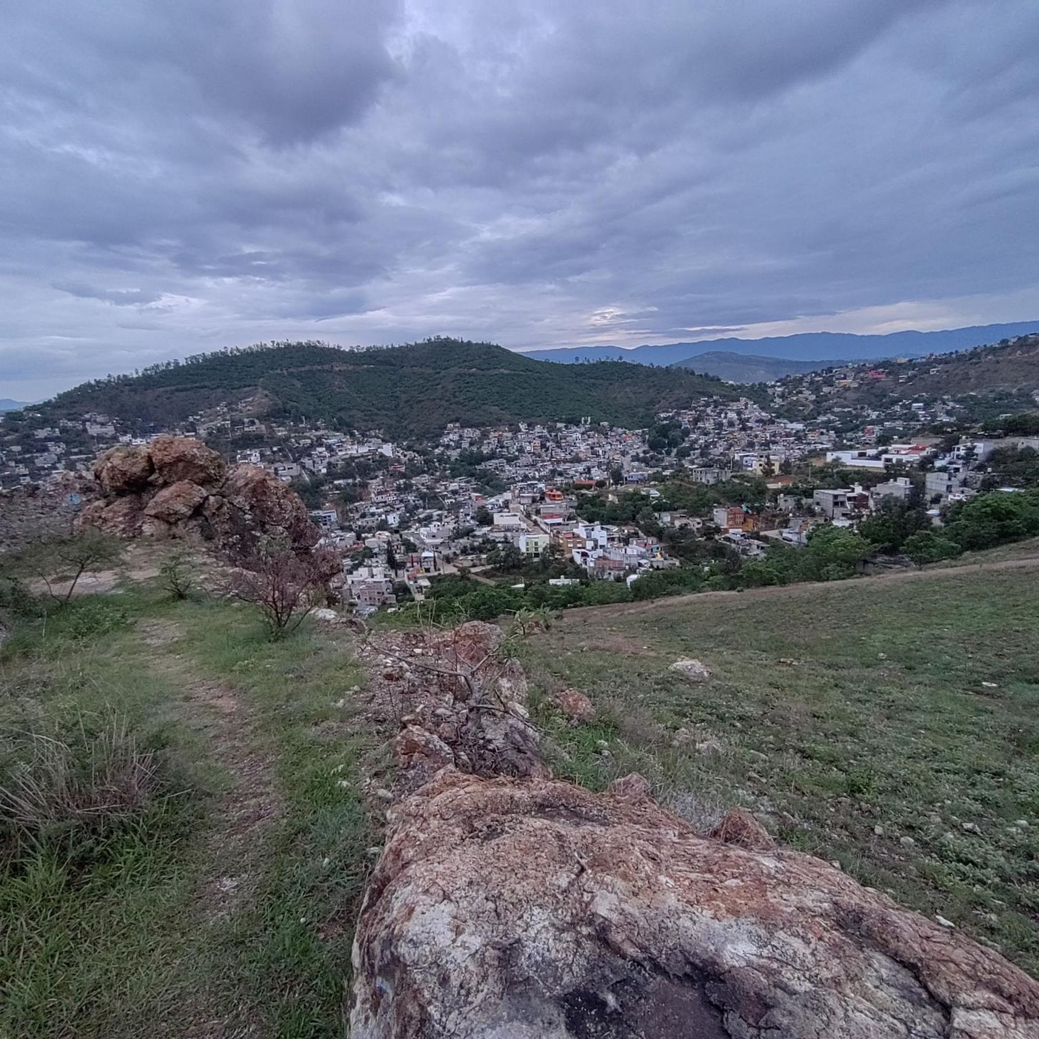
The steps take you to Oaxaca's local mountain, Cerro del Fortín, just outside the center. From the top you are rewarded with a magnificent view of Oaxaca. However, you should not go up in the dark.
0
0
Frequently Asked Questions
How many running routes are available in San Agustín Yatareni?
There are 18 dedicated jogging routes in San Agustín Yatareni and the immediate surrounding area. These trails offer a variety of experiences for runners of all levels.
What kind of difficulty levels can I expect on the running trails?
The running trails in San Agustín Yatareni cater to a wide range of abilities. You'll find 1 easy route perfect for beginners, 12 moderate routes, and 5 more challenging trails with significant elevation changes for experienced runners.
Are there any family-friendly jogging routes in San Agustín Yatareni?
Yes, there are routes suitable for families. Look for trails under 5 kilometers with minimal elevation gain, which are ideal for all fitness levels and can be enjoyed by families. Many paths feature predominantly paved surfaces, ensuring accessibility.
What are some notable natural attractions I can see while jogging?
While jogging in the region, you can experience scenic countryside and mountain views. A significant natural wonder easily accessible from San Agustín Yatareni is The Tree of Tule (El Árbol del Tule), an ancient Montezuma Cypress with the thickest trunk in the world. A run to this historic tree offers a unique natural attraction along a generally flat, paved pedestrian and bicycle road.
Are there any routes that offer views of Oaxaca City?
Yes, several routes provide excellent views of Oaxaca City and the surrounding landscapes. For example, the Fuente Jardín Socrates loop from Oaxaca City offers scenic vistas, often on paved surfaces.
What do other runners enjoy most about jogging in San Agustín Yatareni?
The area is highly rated by the komoot community, with an average score of 4.6 stars from over 20 reviews. Runners often praise the diverse running trails, the scenic countryside, and the views of the Sierra Norte mountains, noting the variety of options for different ability levels.
Can I find circular running routes in the area?
Yes, many of the running paths in San Agustín Yatareni are designed as loops. For instance, the Fuente de las Ocho Regiones loop from Colonia Reforma is a popular circular trail that takes you through both urban and natural areas.
Are there any longer running routes for distance training?
For distance training, you can find more demanding paths exceeding 15 kilometers with over 300 meters of elevation. The generally flat, paved pedestrian and bicycle road leading to The Tree of Tule is also suitable for longer runs.
What kind of terrain can I expect on the jogging trails?
You'll encounter diverse terrain, ranging from easy, predominantly paved paths ideal for all fitness levels to more natural, well-maintained paths and challenging trails with significant elevation changes. The region's rugged topography offers varied surfaces.
Is San Agustín Yatareni well-connected to Oaxaca City for runners?
Yes, San Agustín Yatareni is conveniently located near Oaxaca City. Routes like the Running loop from Oaxaca City exemplify how you can connect the two areas, allowing you to combine your outdoor activities with visits to cultural landmarks.
Are there any routes with minimal elevation gain for an easier run?
Absolutely. If you're looking for an easier run with minimal elevation gain, consider routes under 5 kilometers. The Fuente de las Ocho Regiones – Fuente de exalumnos loop from Oaxaca City is a moderate option with relatively low elevation changes, making it a good choice for a less strenuous outing.
What is the longest running route available in the guide?
Among the routes listed, the Fuente de exalumnos – Fuente suroeste del Zócalo loop from Oaxaca City is one of the longer options, covering approximately 9.8 kilometers (6.1 miles).
Most popular routes in San Agustín Yatareni

Get inspired with the komoot mobile app


Explore more
Browse the best Running Trails & Routes in other regions.
