The 20 Most Amazing Peaks around Waldershof
Mountain peaks around Waldershof, a town in Bavaria, Germany, are characterized by picturesque hills and dense forests. The region offers access to several notable mountain peaks, including the Platte and the Kösseine, known for their distinct features. These summits provide opportunities for hiking and nature exploration within the Steinwald and Fichtelgebirge mountain ranges. The area features granite massifs and peaks with observation towers, offering varied experiences for visitors.
Best mountain peaks around Waldershof
- The most popular mountain peaks is Oberpfalzturm…
Last updated: July 6, 2026
Kösseinehaus
Highlight • Mountain Hut
Translated by Google •
Tip by

Kösseine Summit and Observation Tower
Highlight • Summit
Translated by Google •
Tip by
Sign up now to discover places like this
Get recommendations on the best single tracks, peaks, & plenty of other exciting outdoor places.
Sign up for free
Oberpfalzturm Observation Tower on Platte
Highlight • Viewpoint
Translated by Google •
Tip by

Burgsteinfelsen Viewing Platform
Highlight • Viewpoint
Translated by Google •
Tip by

Kaiser-Wilhelm-Felsen Viewing Platform
Highlight • Viewpoint
Translated by Google •
Tip by

Sign up for free to discover even more peaks around Waldershof.
Sign up for free
Already have an account?
Start today with a free account
Your next adventure awaits.
Login or Signup
Popular around Waldershof
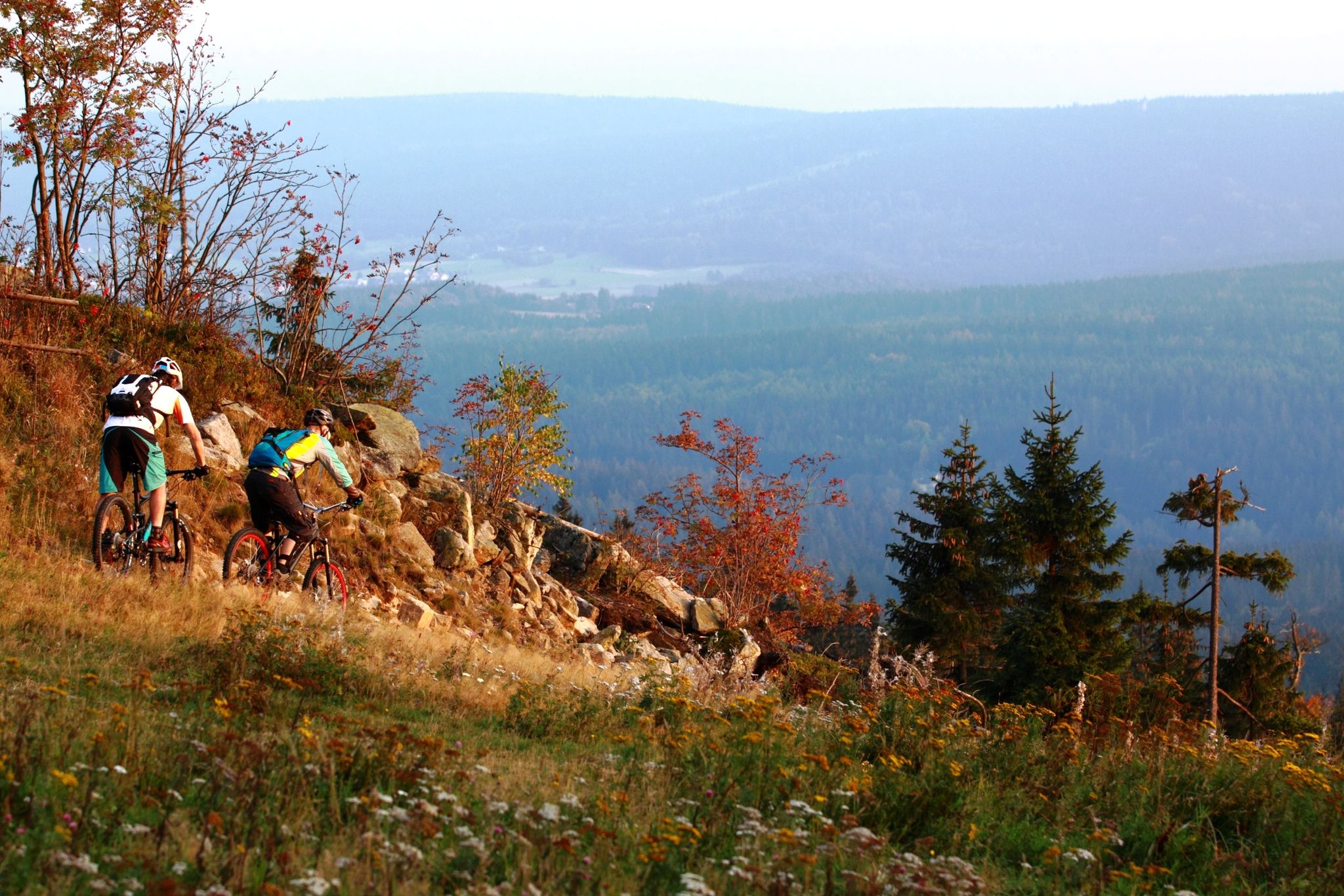
Water, rocks & trails — Mountain biking in the Fichtel mountains
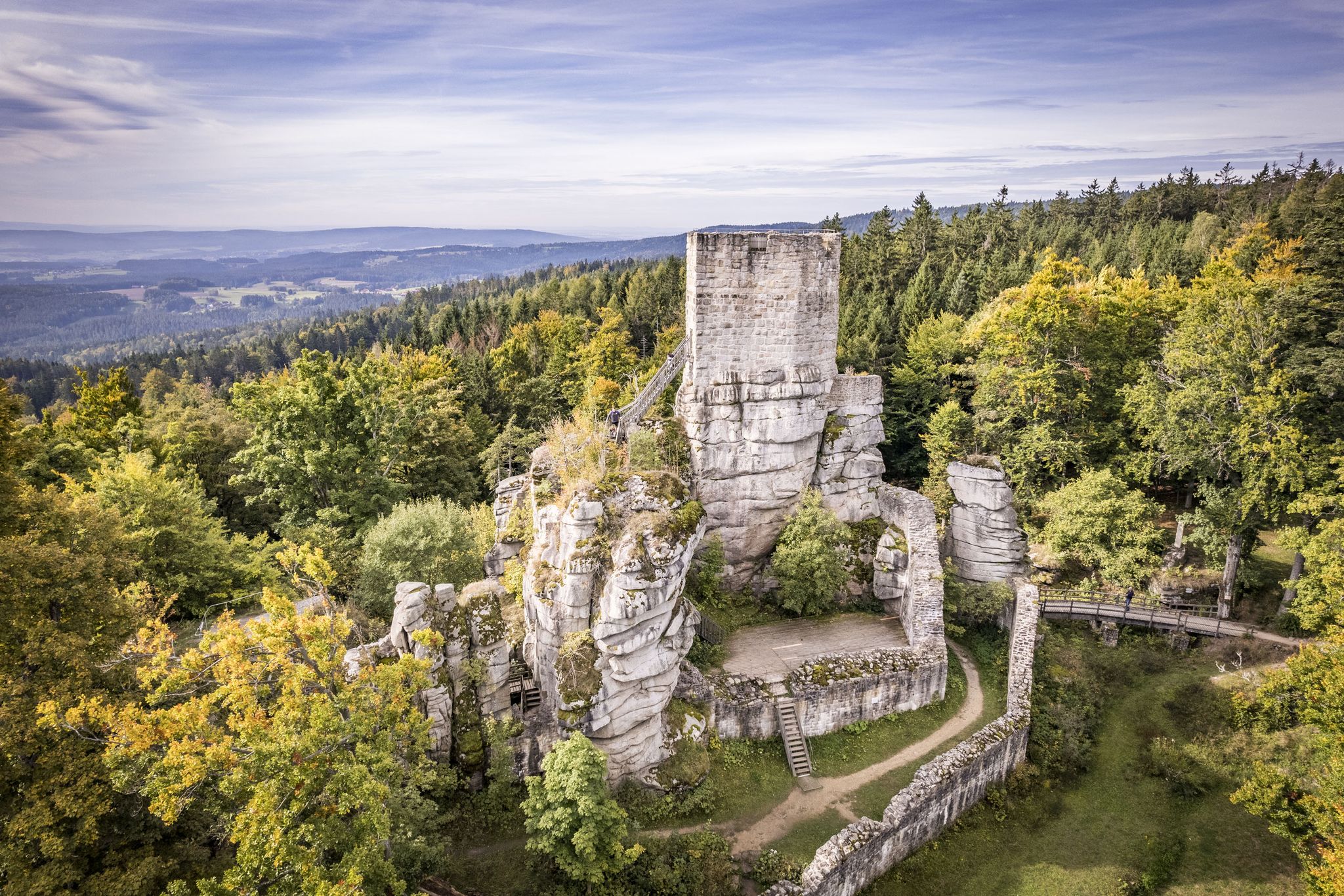
On the 'Kultouren' through the Upper Palatine Forest
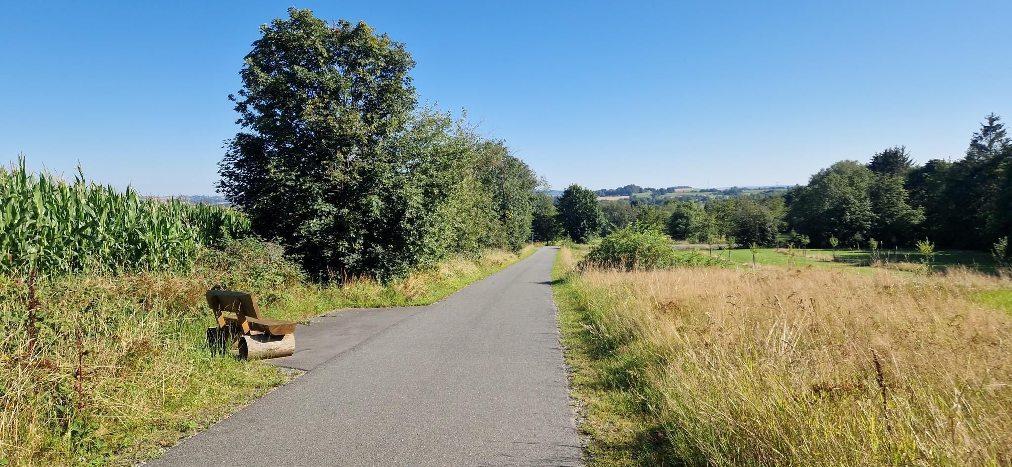
Entdecke die fränkische Vielfalt – Radregion Fichtelgebirge
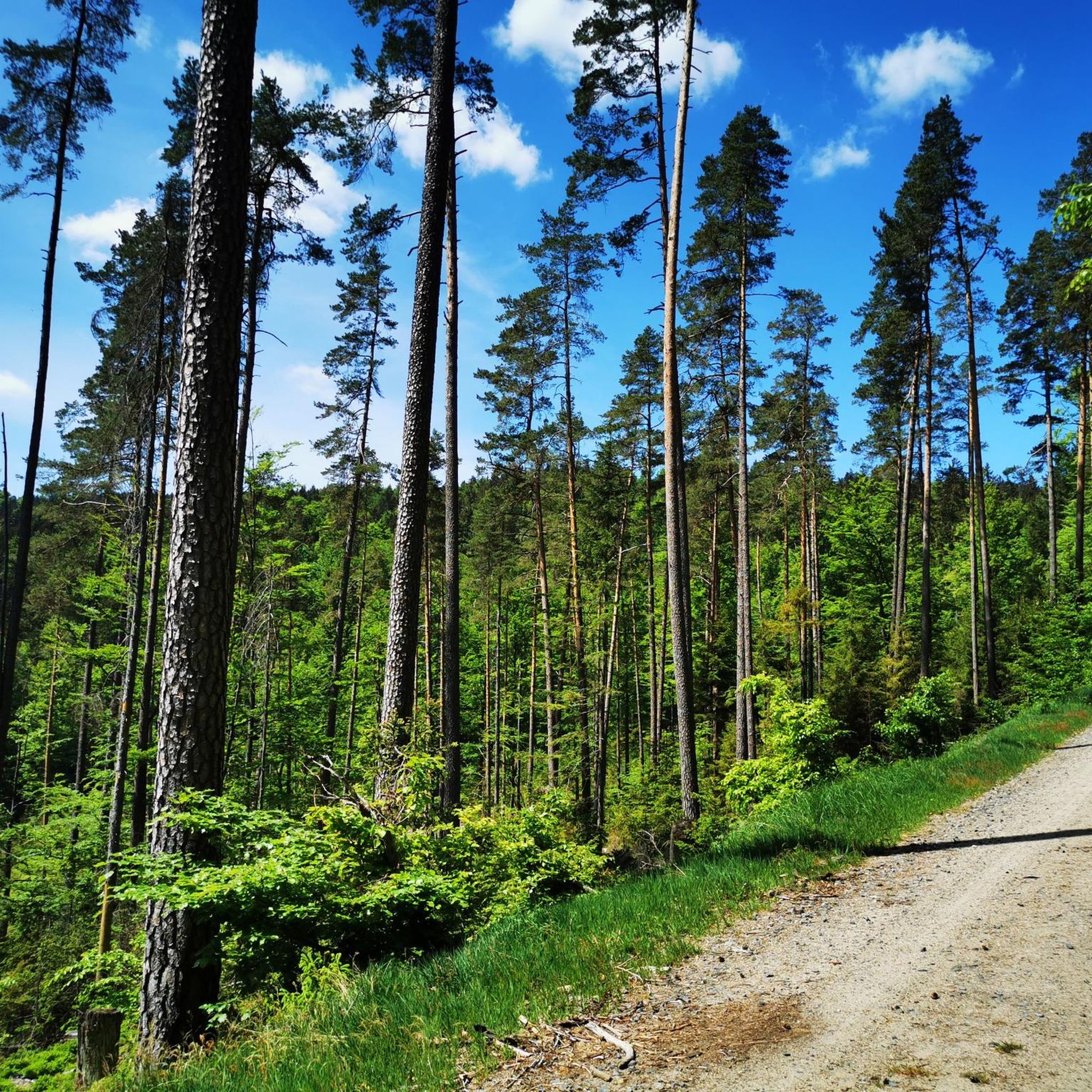
Hiking around Waldershof
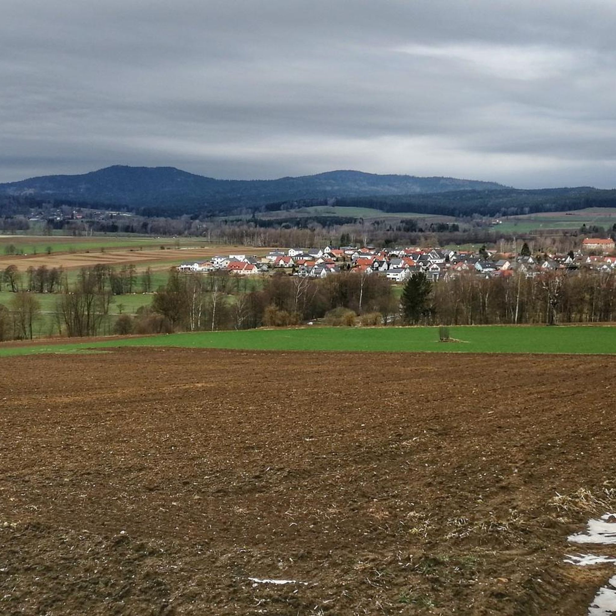
Cycling around Waldershof
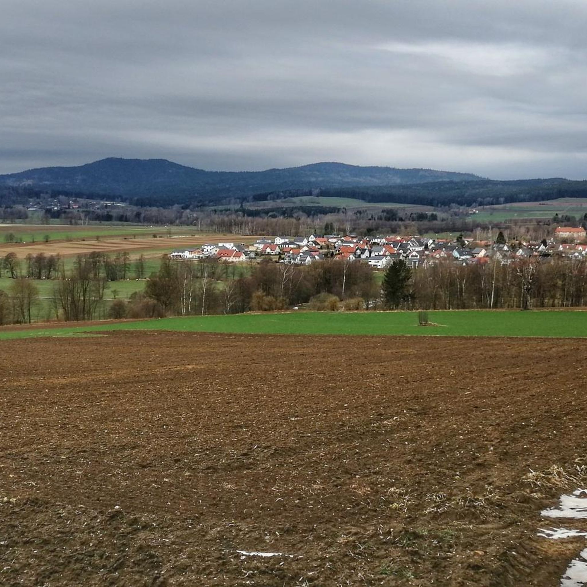
MTB Trails around Waldershof
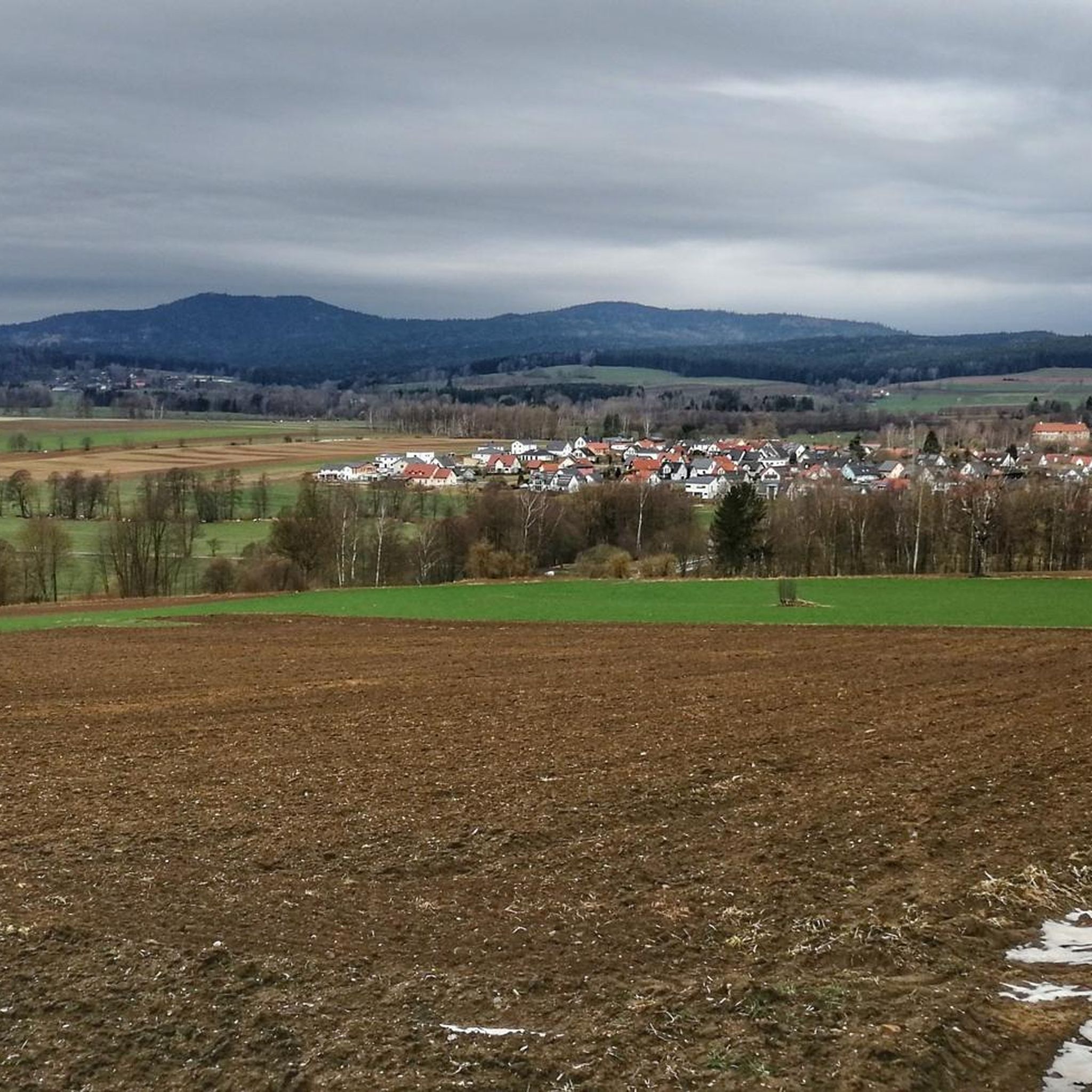
Road Cycling Routes around Waldershof
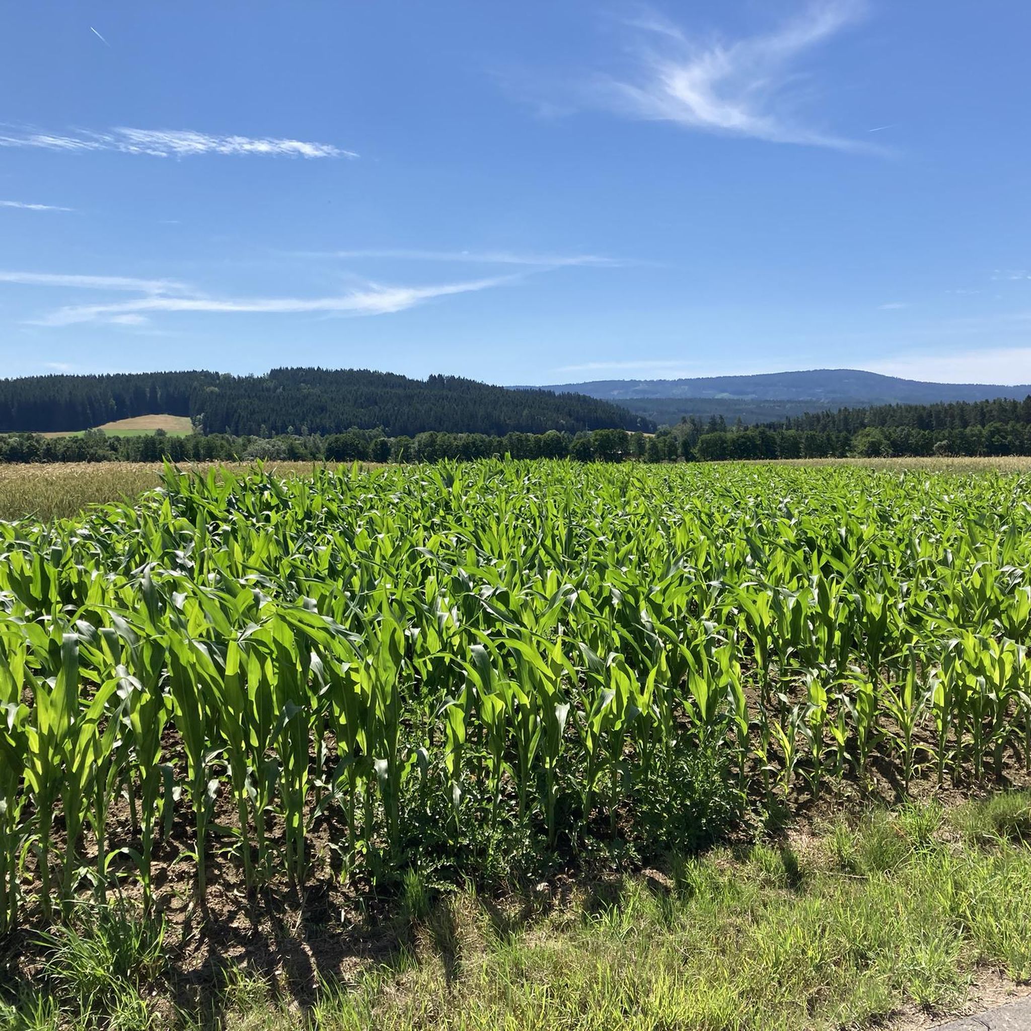
Running Trails around Waldershof

Gravel biking around Waldershof
Mountain Hikes around Waldershof
Other adventures around Waldershof


Tips from the Community

A small staircase with a wonderful view from the viewing platform 😍. On the south side of the large, isolated rock is the inscription: Kaiser-Wilhelms-Felsen 1797-1897
19
2

At 869 meters, the Burgstein rock group is the highest point in the Luisenburg. From here you have a beautiful view of Tröstau in the west, Wunsiedel in the north and east towards the Czech Republic.
18
0

A beautiful summit with a wonderful view 👍
9
0

Beautiful all-round view and in good weather you can see as far as the Fichtelberg and the Czech Republic, the Arber or the Rauhen Kulm.
7
0
Because of the clear, wide view in all directions (Bavarian Forest, Rhön, Thuringian Forest, Ore Mountains), the Kösseine was a popular destination from an early stage. The level of awareness was significantly increased in 1805 by visiting the then Prussian sovereignty. Opened to tourists since 1878, the mountain still attracts many hikers and cyclists today. There is no public road to the summit. The stone observation tower and the “Kösseinehaus” accommodation house of the Fichtelgebirge association invite you to take a look and stop for a bite to eat.
19
2

For an even better view, you just have to climb the Kaiserfelsen after the rock labyrinth!
8
1

Because of the free, wide view in all directions (Bavarian Forest, Rhön, Thuringian Forest, Ore Mountains), the mountain was a popular destination from an early stage, and the level of awareness was significantly increased in 1805 by a visit to the then Prussian sovereignty. Opened up for tourism from 1878, the mountain still attracts many hikers who have to climb it on foot because there is no public road to the summit. The stone observation tower and the “Kösseinehaus” accommodation house of the Fichtelgebirge association invite you to take a look and stop for a bite to eat. Source: http://www.bayern-fichtelgebirge.de/koesseine/0.htm
14
1
Professor Ludwig Hacker from Wunsiedel tells us in the “History of the Luisenburg” that this rock was consecrated in 1897, on the centenary of the birthday of Emperor Wilhelm I. The funds for “making it accessible” and everything else that was needed to organize the celebration were donated by Consul Ida Schmid from Hamburg. Mrs. Schmid came from a Wunsiedel family that had been very involved in the development of the Luisenburg facilities. The donor wrote at the time: “In grateful memory of what God gave us Germans through Emperor Wilhelm I. Incidentally: Wilhelm was a son of Queen Luise, after whom the Luxburg was renamed Luisenburg in 1805. Source: http://www.bayern-fichtelgebirge.de/luise/9.htm
10
1
Frequently Asked Questions
What are the highest mountain peaks around Waldershof?
The highest peak in the vicinity of Waldershof is the Platte, reaching 946 meters (3,104 feet) above sea level. It is the highest point in the Steinwald mountain range. Close behind is the Kösseine, standing at approximately 939 meters (3,081 feet), a prominent granite massif within the Fichtelgebirge.
What unique features does the Platte mountain offer?
The Platte is home to the Oberpfalzturm Observation Tower, a 35-meter-high wooden tower offering breathtaking panoramic views. From its summit, you can see across the Fichtelgebirge, Egerland, Stiftland, and the Oberpfälzer Wald. On clear days, views can extend to the Fichtelberg and Großer Arber. The area also features an Alpine-like climate with long, snowy winters.
What can I expect when visiting the Kösseine?
The Kösseine is known for its distinctive granite rock formations and the Kösseine Summit and Observation Tower. The stone tower provides magnificent views, with a plate inside to help identify visible mountains. At the summit, the traditional Kösseinehaus offers refreshments and, upon request, overnight accommodation, often hosting folk musicians. The area is also a protected nature reserve.
Are there family-friendly mountain trails around Waldershof?
Yes, the Kösseine peak, for example, is noted for its rock labyrinth, which is particularly fun for children to explore and climb. Many marked hiking trails of varying lengths lead to the summit from surrounding villages, making it accessible for families. The Oberpfalzturm Observation Tower on Platte is also considered family-friendly.
What is the best time to visit the mountain peaks near Waldershof?
The region experiences a unique Alpine-like climate. While hiking is popular in warmer months, the area is also known for long, snowy winters from October into May. This means the best time depends on your preferred activity: summer and autumn for hiking, and winter for snow-related activities, though some trails might be challenging due to snow.
What kind of hiking trails are available near Waldershof's peaks?
You'll find a variety of hiking trails, from moderate routes like the 'Weißenstein castle ruins and the Upper Palatinate Tower' to longer circuits. The Kösseine offers numerous marked trails from nearby villages, and even the smaller Mascher Berg can be part of longer hiking circuits. For more options, explore the Hiking around Waldershof guide.
Are there any historical sites or natural monuments to see on these peaks?
Yes, the Platte's hiking routes can pass by the Weißenstein castle ruins, combining natural beauty with historical interest. The Kösseine itself has historical importance as a former border point and surveying location, and its massive granite rock formations are a significant natural monument. The area around the Große Kösseine peak is a protected nature reserve.
What other outdoor activities can I do near the mountain peaks around Waldershof?
Beyond hiking, the region offers opportunities for road cycling and gravel biking. You can find various routes, such as the 'Friedenfels Lake Rest Area – Friedenfels Castle Brewery loop' for road cycling or the 'Princes' Rocks – Fichtel Lake loop' for gravel biking. Check out the Road Cycling Routes around Waldershof and Gravel biking around Waldershof guides for detailed routes.
Where can I find refreshments or accommodation on the mountain peaks?
On the summit of the Kösseine, you'll find the Kösseinehaus, a traditional mountain hut that offers refreshments and, upon request, overnight accommodation. It's a popular stop for hikers with indoor and outdoor seating.
What do visitors enjoy most about the mountain peaks around Waldershof?
Visitors highly appreciate the panoramic views from observation towers like the Oberpfalzturm on Platte and the Kösseineturm. The unique granite formations of the Kösseine and the welcoming atmosphere of the Kösseinehaus are also frequently praised. The diverse hiking opportunities and the natural beauty of the region receive many positive comments and photos from the komoot community.
Is the Mascher Berg worth visiting, compared to the higher peaks?
While the Mascher Berg, at 632 meters, doesn't offer the extensive panoramic views or distinct features of the Platte or Kösseine, it represents a more modest elevation within the local landscape. It can be a pleasant part of longer hiking circuits in the area, providing a different perspective of the region's natural beauty.
Most popular routes around Waldershof
Most popular attractions around Waldershof

Get inspired with the komoot mobile app


Explore more
See even more amazing summits around Waldershof with these guides:
