The best road cycling routes in Zinacantepec
4.9
(84)
49
riders
5
rides
Road cycling in Zinacantepec offers high-altitude routes and varied terrain, situated just west of Toluca in Mexico State. The region is characterized by its proximity to the Nevado de Toluca volcano, providing significant ascents and scenic landscapes. Cyclists encounter a mix of lush forests at lower elevations and more open, alpine-like areas as they climb. Paved roads lead towards the volcano, offering challenging climbs for endurance training.
Best road cycling routes in Zinacantepec
- The most popular road cycling route is…
Last updated: July 2, 2026
4.8
(79)
16
riders
53.3km
02:30
670m
670m
Moderate road ride. Good fitness required. Mostly well-paved surfaces and easy to ride.
15
riders
128km
07:38
2,980m
2,980m
Hard road ride. Very good fitness required. Mostly well-paved surfaces and easy to ride.

Sign up for free
5.0
(1)
9
riders
44.4km
01:57
330m
330m
Moderate road ride. Good fitness required. Mostly well-paved surfaces and easy to ride.
4
riders
96.2km
04:36
990m
990m
Hard road ride. Very good fitness required. Mostly well-paved surfaces and easy to ride.
5.0
(4)
4
riders
18.8km
00:45
80m
80m
Easy road ride. Great for any fitness level. Mostly well-paved surfaces and easy to ride.
1
riders
31.1km
01:19
130m
130m
Moderate road ride. Great for any fitness level. Some segments of this route may be unpaved and difficult to ride.
Our route recommendations are based on thousands of hikes, rides, and runs completed by other people on komoot.
Start today with a free account
Your next adventure awaits.
Login or Signup
Popular around Zinacantepec
Tips from the Community

A cycling classic! Getting here requires effort and enjoyment due to its mountainous landscapes and long, steep climbs. No matter where you arrive, you'll have to climb. There's food outside and even an ancestral spirit (pulque), so there's plenty of supplies for all visitors. The place is wonderful to explore; it has a museum, ceremonies, picnic areas, and just exploring the area is fascinating.
1
0


Frequently Asked Questions
What kind of road cycling routes can I find in Zinacantepec?
Zinacantepec offers a diverse range of road cycling routes, from easy loops to challenging high-altitude ascents. The region is known for its proximity to the Nevado de Toluca volcano, providing significant climbs and scenic landscapes. You'll find routes that traverse lush forests at lower elevations and more open, alpine-like areas as you gain altitude.
Are there road cycling routes suitable for beginners in Zinacantepec?
Yes, Zinacantepec has options for beginner road cyclists. For instance, the Roadbike loop from Toluca is an easy 11.7-mile (18.8 km) trail that can be completed in about 45 minutes, offering a shorter option for a quick ride with minimal elevation gain.
What are some challenging road cycling routes for experienced riders?
Experienced road cyclists looking for a challenge will find several demanding routes. The El Mapa loop from San Juan de las Huertas is a difficult 79.8-mile (128.4 km) path with substantial elevation changes. Another challenging option is the Joquicingo de León Guzmán – Maguey Hill loop from Toluca Centro, which covers 95.5 miles (153.6 km) with significant climbing.
When is the best time of year for road cycling in Zinacantepec?
The best time for road cycling in Zinacantepec is generally during the dry season, which runs from November to April. During these months, temperatures are mild and skies are typically clear, providing ideal conditions for riding. The region experiences temperate subhumid climate with summer rains, so the dry season avoids the wetter periods.
What unique natural features can I experience while road cycling in Zinacantepec?
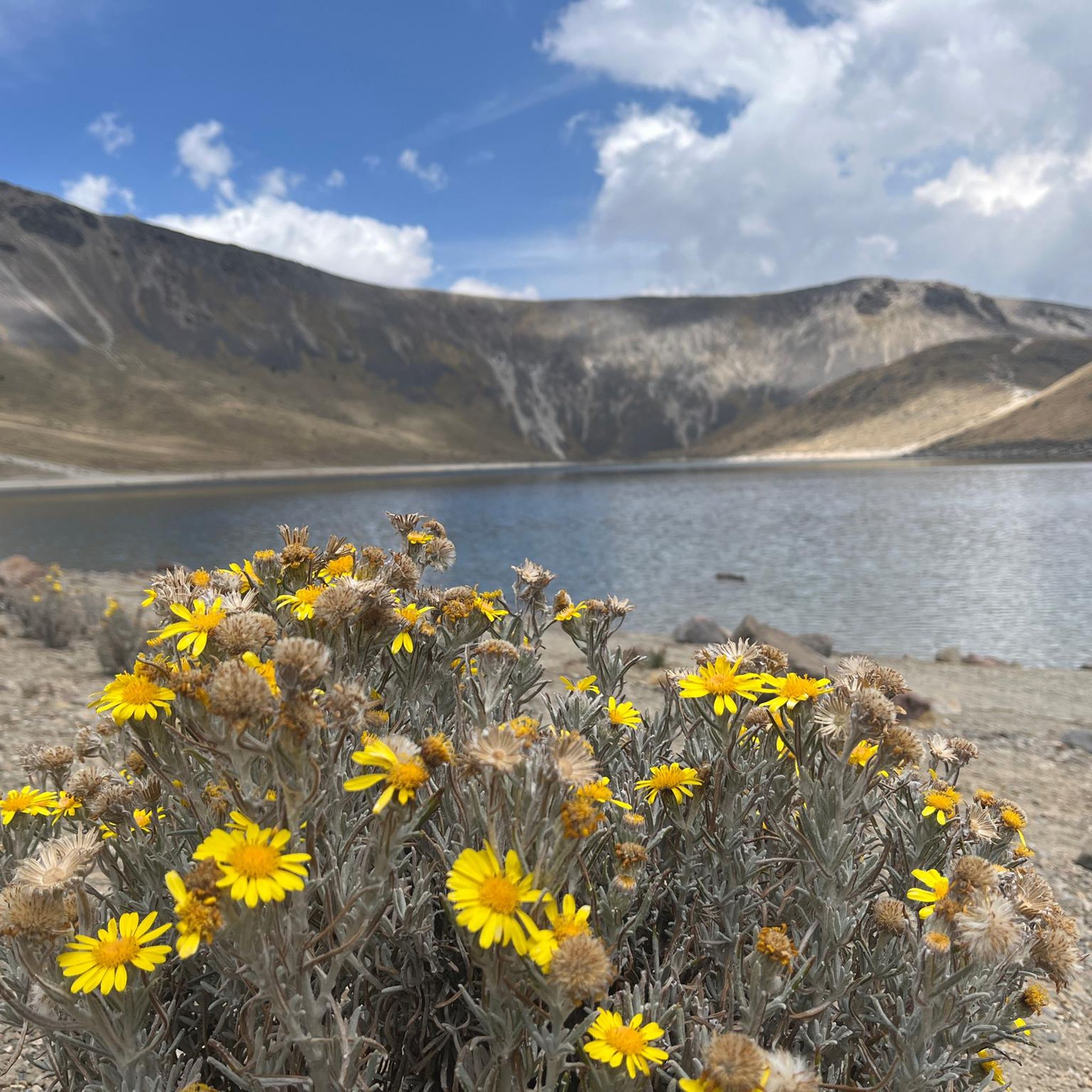
Road cycling in Zinacantepec offers access to the stunning landscapes of the Nevado de Toluca National Park. As you ascend towards the volcano, you'll experience a dramatic change in scenery, from lush pine and fir forests to alpine meadows and rocky terrain. The paved road leading up the volcano provides a challenging climb with breathtaking views of this dormant volcano.
Are there any cultural or historical landmarks I can see along road cycling routes?
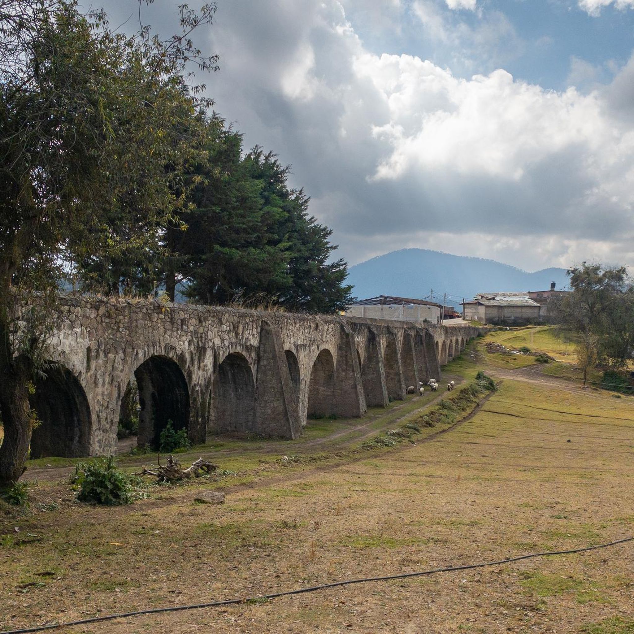
Yes, some regional routes may pass through areas with cultural heritage. Zinacantepec itself is recognized as a 'Pueblo con Encanto' (Charming Town) and features a Viceregal Museum and historic haciendas that can be incorporated into rides, offering a mix of natural beauty and cultural exploration.
What do other road cyclists enjoy most about road cycling in Zinacantepec?
The road cycling routes in Zinacantepec are highly rated by the komoot community, with an average score of 4.9 stars from over 80 reviews. Cyclists often praise the challenging high-altitude ascents, the dramatic volcanic landscapes, and the varied terrain that includes both forested sections and open areas.
Are there any loop road cycling routes available in Zinacantepec?
Yes, many road cycling routes in Zinacantepec are designed as loops, allowing you to start and finish at the same point. Examples include the Otomí Ceremonial Center – Cerro Melesio loop from San Andres Coexcotitlan and the Maguey Hill – Montoneras Donas Calimaya loop from Toluca Centro, offering convenient circular options.
What should I consider regarding altitude when cycling in Zinacantepec?
Zinacantepec and the surrounding Toluca area are at high altitudes (Toluca is at 2600 meters above sea level), with routes ascending even higher towards Nevado de Toluca. This provides excellent opportunities for altitude training, but cyclists should be prepared for the physical demands of riding at elevation. It's advisable to acclimatize if you are not used to high-altitude exercise.
How many road cycling routes are available in the Zinacantepec area?
There are over 5 road cycling routes available in the Zinacantepec area, catering to various skill levels from easy to difficult. These routes offer diverse experiences across the region's unique high-altitude landscape.
Are there any moderate difficulty road cycling routes in Zinacantepec?
Yes, there are several moderate road cycling routes. The Otomí Ceremonial Center – Cerro Melesio loop from San Andres Coexcotitlan is a popular moderate 33.1-mile (53.3 km) trail with notable elevation gain. Another moderate option is the Lago el Serratón loop from San Pablo Autopan, covering 19.3 miles (31.1 km).

Get inspired with the komoot mobile app


Explore more
Browse the best Road cycling routes in other regions.
