The best walks and hikes in Xalatlaco
4.8
(250)
1,472
hikers
34
hikes
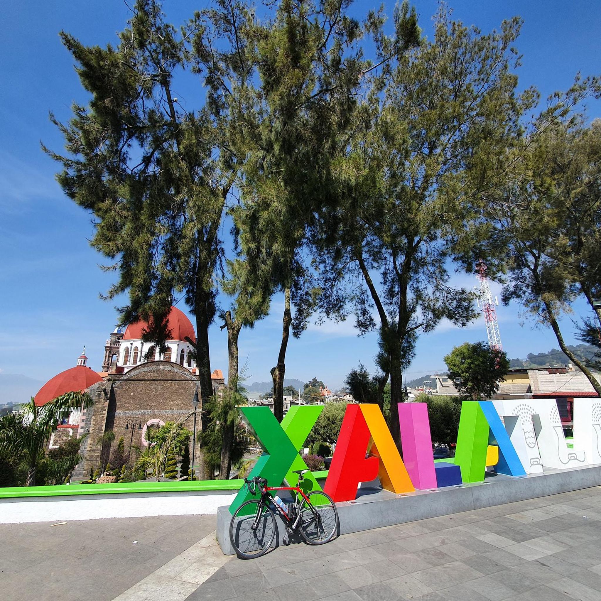
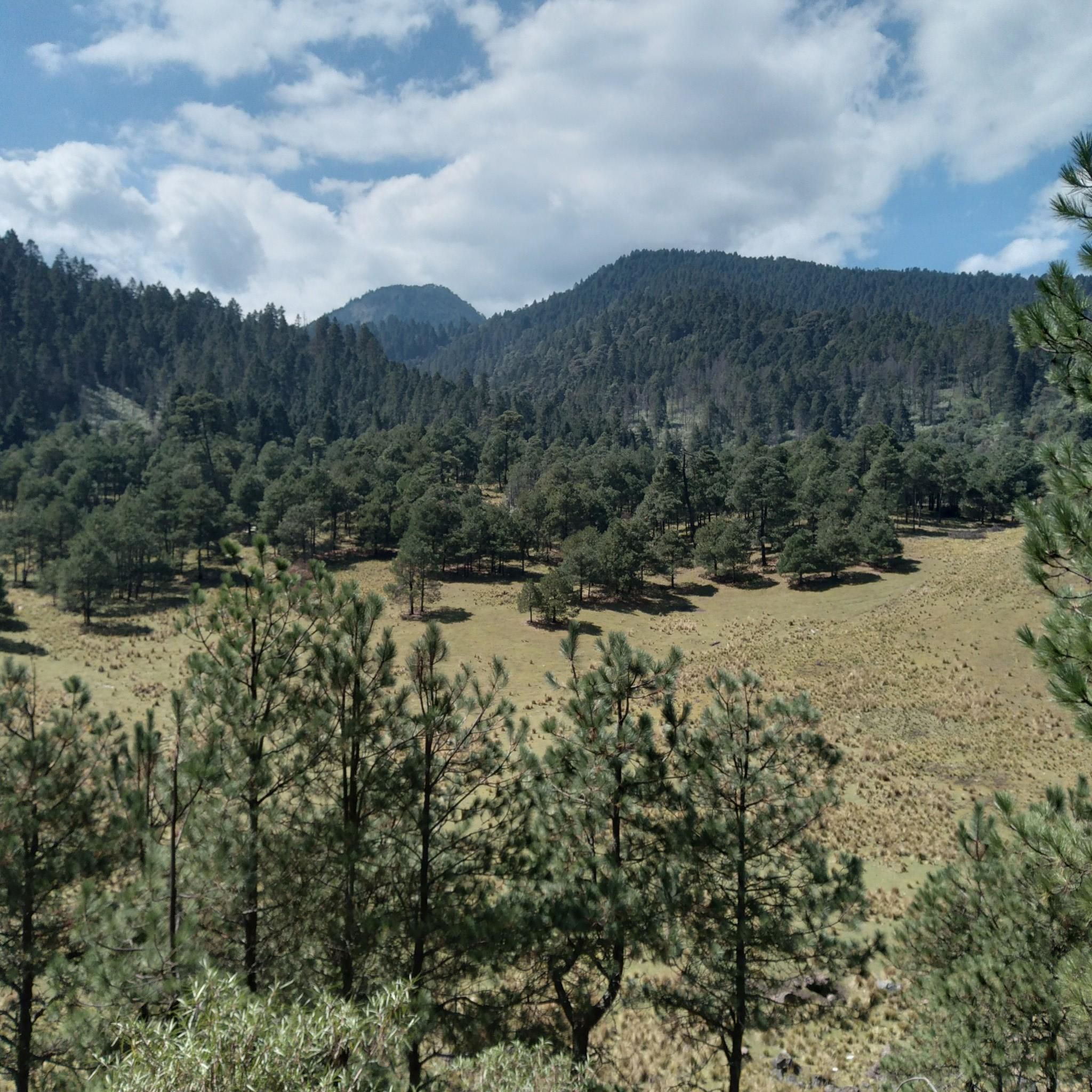
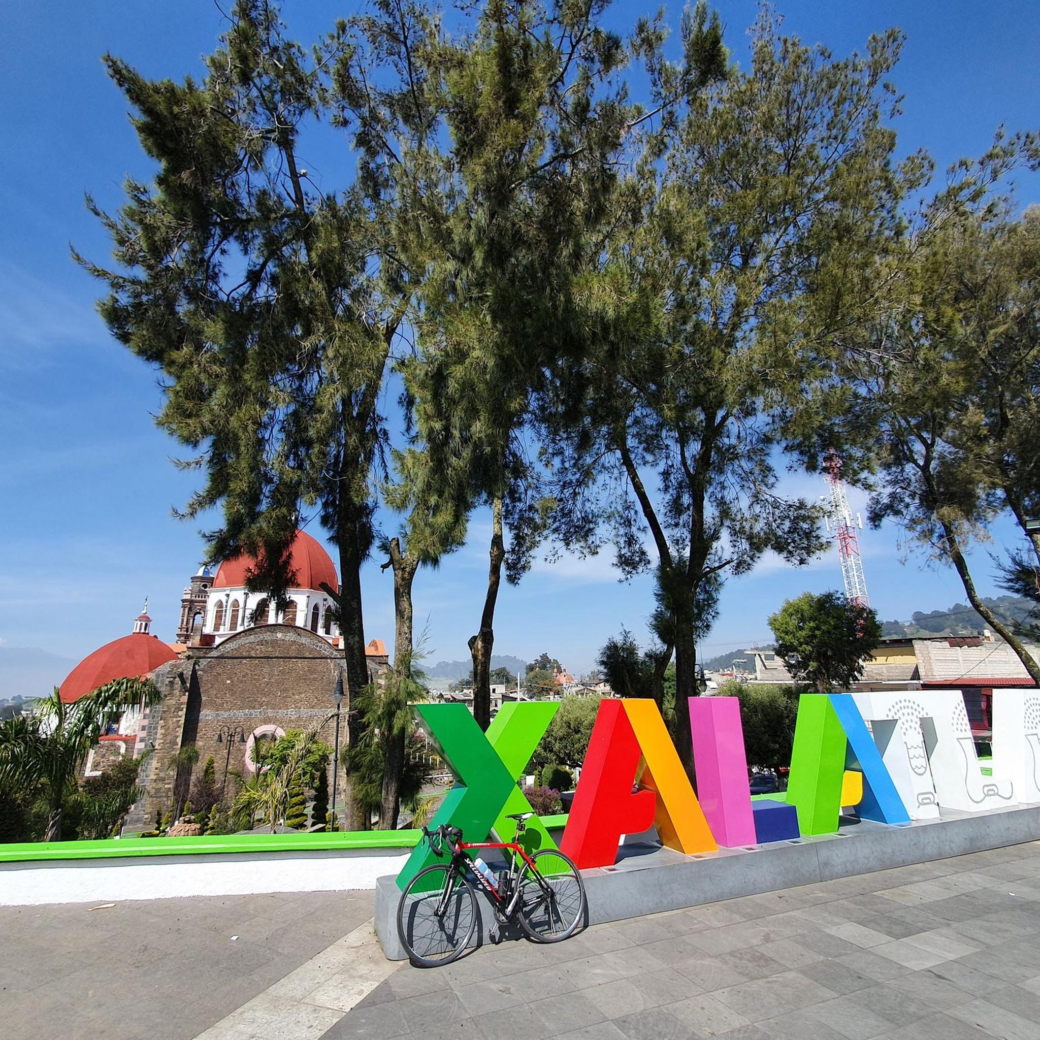
Hiking in Xalatlaco offers opportunities to explore the natural landscapes of this region in the State of Mexico. The area features trails surrounded by nature, hinting at a landscape composed of forests and potentially mountainous terrain. While specific, well-documented hiking infrastructure within Xalatlaco itself is limited, the broader region provides varied terrain suitable for outdoor activities.
Best hiking trails in Xalatlaco
- The most popular hiking route is Pico del Águila – Cruz del Marqués loop from Albergue Alpino Ajusco,…
Last updated: July 1, 2026
4.8
(20)
160
hikers
Moderate hike. Good fitness required. Easily-accessible paths. Suitable for all skill levels.
4.9
(50)
196
hikers
6.40km
02:53
620m
620m
Moderate hike. Good fitness required. Easily-accessible paths. Suitable for all skill levels.

Sign up for free
5.0
(2)
27
hikers
4.66km
02:04
430m
430m
Moderate hike. Good fitness required. Easily-accessible paths. Suitable for all skill levels.
5.0
(2)
26
hikers
6.71km
02:38
480m
480m
Moderate hike. Good fitness required. Easily-accessible paths. Suitable for all skill levels.
2
hikers
8.35km
03:21
620m
620m
Moderate hike. Good fitness required. Easily-accessible paths. Suitable for all skill levels.
Get access to more routes and recommendations from other explorers.
Sign up for free
Already have an account?
Our route recommendations are based on thousands of hikes, rides, and runs completed by other people on komoot.
Start today with a free account
Your next adventure awaits.
Login or Signup

Tips from the Community

Challenging, great views, easy to navigate.
0
0

Very safe to walk at 2 in the morning.
0
0

The highest point in Mexico City! A beautiful panoramic view that you simply must experience. Remember to bring enough supplies, no matter which route you take, and don't leave any trash behind. Remember to respect the mountains, and you should be prepared for any eventuality, always alert and enjoying yourself, taking care, and breathing fresh air. Enjoy! ⛰️
0
0

Don't leave your trash up here.
0
0
Your trash goes back with you.
1
0

on the way to Pico Aguilar a viewpoint towards Mexico City
1
0

Amazing place to welcome the day full of fresh air and beautiful views at the top.
3
0
Frequently Asked Questions
How many hiking trails are available in Xalatlaco, and what are their difficulty levels?
Xalatlaco offers over 30 hiking routes. The majority, 31 routes, are rated as moderate, providing a good challenge for most hikers. There is 1 easy route and 2 difficult routes for those seeking a more intense experience.
Are there many circular hiking routes in Xalatlaco?
Yes, many of the trails in Xalatlaco are circular, allowing you to start and end your hike at the same point. Examples include the Pico del Águila – Cruz del Marqués loop from Albergue Alpino Ajusco and the Ajusco Full Loop – View of Pico del Águila loop from Abrevadero.
Can I find waterfalls or other natural features on hikes in Xalatlaco?
Yes, the region's natural landscapes include areas with notable features. For instance, the Waterfall – Ruins of an Old Stone Building loop from Cuarto Dinamo guides hikers past a waterfall and historical ruins.
What landmarks or viewpoints can I discover while hiking in Xalatlaco?
While exploring the trails, you can find several interesting points. Highlights include the Final Climb to the State of Mexico–CDMX Border Marker, the View of the Volcanoes from Reserva Ecológica Comunitaria San Miguel Ajusco, and the scenic Tezontle Curves and Valley (Ajusco-Xalatlaco).
Are there family-friendly hiking options in Xalatlaco?
While most routes are moderate, there is 1 easy trail available. Many moderate routes, like the Pico del Águila – Cruz del Marqués loop from Ajusco, might be suitable for active families, depending on their experience and the specific trail conditions.
What do other hikers enjoy the most about hiking in Xalatlaco?
The area is highly rated by the komoot community, with an average score of 4.8 stars from over 260 reviews. Hikers often praise the natural surroundings, varied elevation, and the opportunities to explore forested areas and scenic viewpoints.
Are dogs allowed on hiking trails in Xalatlaco?
The general natural trails in Xalatlaco are often suitable for dogs, but it's always recommended to keep them on a leash and check for specific regulations if entering protected areas or private land. Always ensure your dog is well-behaved and that you clean up after them.
What is the best time of year to go hiking in Xalatlaco?
Xalatlaco's natural landscapes can be enjoyed year-round. However, the dry season (roughly November to May) typically offers more predictable weather and clearer trails. During the rainy season (June to October), trails might be muddy, but the vegetation is often lush and green.
Are there any longer or more challenging routes for experienced hikers?
Yes, for experienced hikers seeking a greater challenge, there are 2 difficult routes available. Additionally, some moderate trails, such as the Cruz del Marqués – Pico del Águila loop from Albergue Alpino Ajusco, feature significant elevation gain and cover longer distances, providing a strenuous workout.
Can I find trails that offer views of the broader region?
Absolutely. Many trails in Xalatlaco provide expansive views of the surrounding State of Mexico landscape. The Cruz del Marqués – Pico del Águila loop from Abrevadero is one such route that offers panoramic vistas as you ascend.
Are there any trails that pass through unique natural areas or forests?
The hiking experience in Xalatlaco is characterized by natural trails and forested areas. Routes like the Waterfall – Puerta del Cielo loop from Cerro de Coconetla immerse you in the region's green landscapes and offer a chance to experience its natural beauty.
What kind of terrain can I expect on Xalatlaco's hiking trails?
The terrain in Xalatlaco is varied, ranging from natural dirt paths to potentially rocky sections, often with significant elevation changes. Hikers should be prepared for ascents and descents through forested and open areas, reflecting the region's mountainous characteristics.
Most popular attractions in Xalatlaco

Get inspired with the komoot mobile app


Explore more
Browse the best Hikes in other regions.
