The best road cycling routes in Toluca
4.9
(98)
148
riders
13
rides
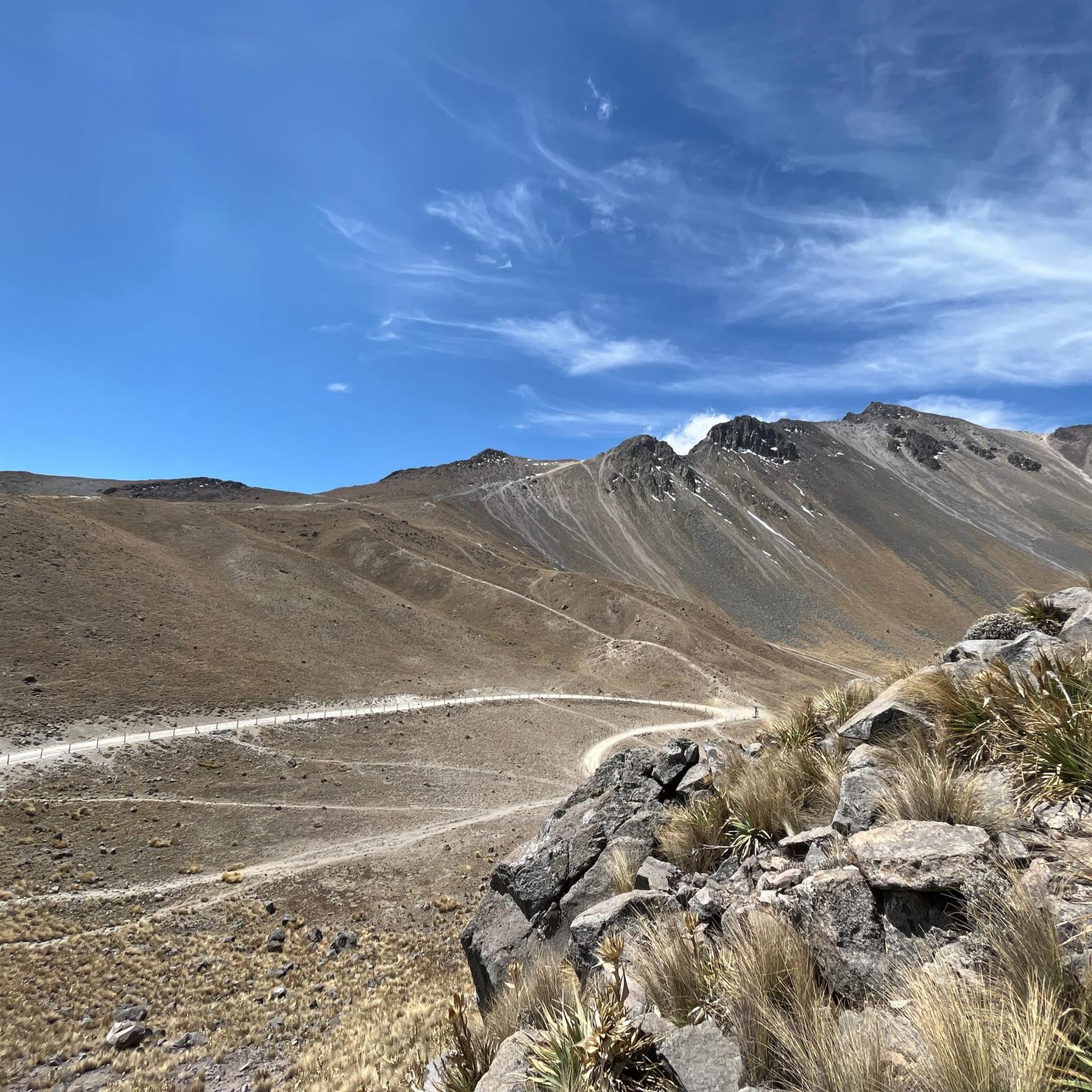
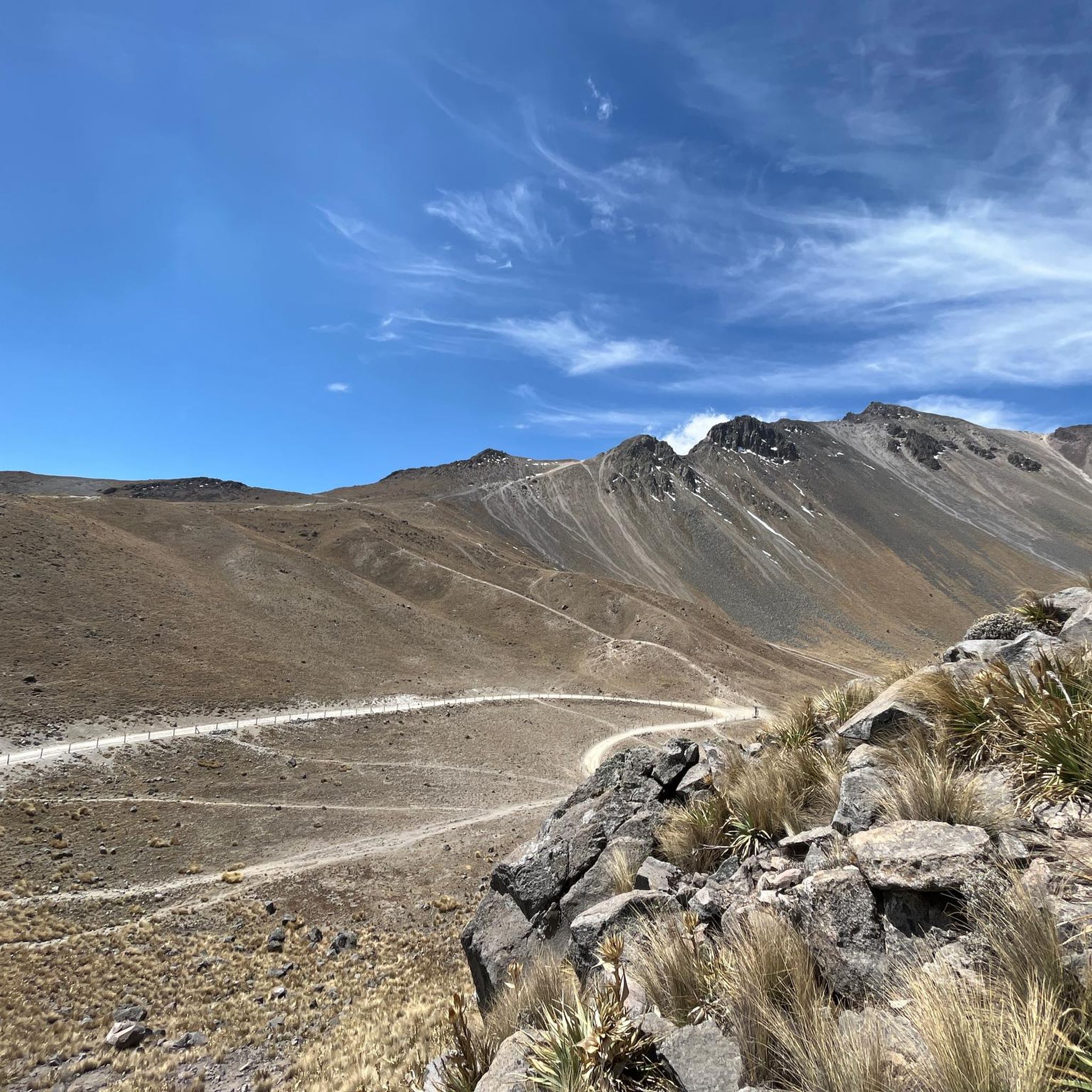
Road cycling in Toluca is characterized by its high-altitude terrain and the prominent Nevado de Toluca National Park, home to the Xinantécatl volcano. The region features diverse landscapes, transitioning from lush forests at lower elevations to alpine meadows and barren, rocky areas above the tree line. Cyclists encounter significant elevation changes and sustained climbs, making it a challenging destination for road biking.
Best road cycling routes in Toluca
- The most popular road cycling route is Calzada Flotante Chapultepec – Petroleum…
Last updated: July 1, 2026
5.0
(1)
68
riders
145km
07:41
2,570m
2,570m
Hard road ride. Very good fitness required. Mostly well-paved surfaces and easy to ride.
4.8
(79)
16
riders
53.3km
02:30
670m
670m
Moderate road ride. Good fitness required. Mostly well-paved surfaces and easy to ride.

Sign up for free
15
riders
128km
07:38
2,980m
2,980m
Hard road ride. Very good fitness required. Mostly well-paved surfaces and easy to ride.
5.0
(5)
13
riders
40.1km
01:46
370m
370m
Moderate road ride. Good fitness required. Mostly well-paved surfaces and easy to ride.
5.0
(1)
9
riders
44.4km
01:57
330m
330m
Moderate road ride. Good fitness required. Mostly well-paved surfaces and easy to ride.
4
riders
96.2km
04:36
990m
990m
Hard road ride. Very good fitness required. Mostly well-paved surfaces and easy to ride.
1
riders
60.7km
03:29
1,260m
1,260m
Hard road ride. Very good fitness required. Mostly well-paved surfaces and easy to ride.
1
riders
78.5km
03:47
800m
790m
Moderate road ride. Good fitness required. Some segments of this route may be unpaved and difficult to ride.
Get access to more routes and recommendations from other explorers.
Sign up for free
Already have an account?
Our route recommendations are based on thousands of hikes, rides, and runs completed by other people on komoot.
Start today with a free account
Your next adventure awaits.
Login or Signup
Tips from the Community

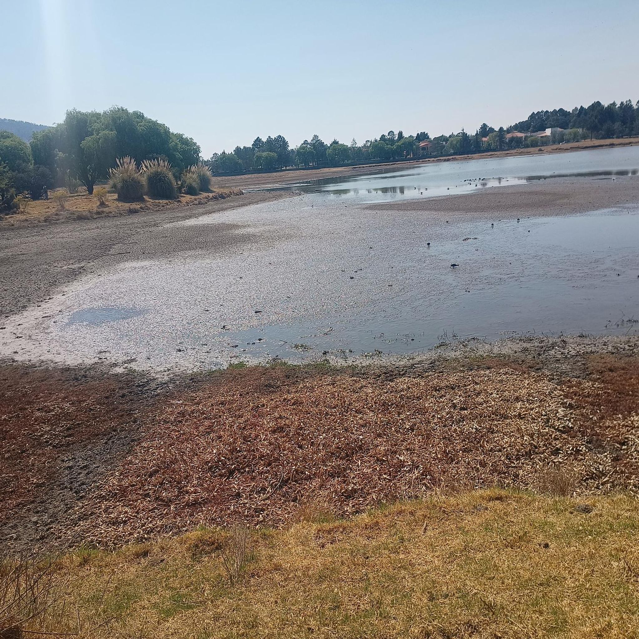
A cycling classic! Getting here requires effort and enjoyment due to its mountainous landscapes and long, steep climbs. No matter where you arrive, you'll have to climb. There's food outside and even an ancestral spirit (pulque), so there's plenty of supplies for all visitors. The place is wonderful to explore; it has a museum, ceremonies, picnic areas, and just exploring the area is fascinating.
1
0
A gentle gravel road for those who are just starting out on their dirt bike, it doesn't require great technique and there are even sections that a road bike can handle without any problems.
3
0


Nice way to cross the highway (periferico) from Chapultepec to Los Pinos
1
0
Just before reaching the famous "Y" of the Ajusco. The most panoramic and close view of the mountain with its well-known Pico del Águila. A path that has changed a lot over the years due to construction and now 2 stops on the road. The only thing that remains beautiful is the mountainous view and the feeling of having managed to reach this point by bike.
5
0
It is the section before the famous "Y" of the Ajusco circuit where you can enjoy a panoramic view of the mountain, the Pico del Águila in the distance, from there you will already have an idea of the weather that awaits you on the road to the heights . Over the years the panorama has changed due to the buildings and bars, but it is still beautiful.
3
0
Excellent area to train within the city, whether you go by bike, rollerblades or running you will find good slopes with enough incline to sweat and suffer when you go in mood training. There are parts with little traffic at some times of the day, as long as it is before or after the departure of people to their destinations. Another advantage is that there are good trees that provide shade and a cooler environment than many roads or paths. Enjoy your effort!
3
0
The Valley of the Pigeons where there are no pigeons, only Cows! Obliged to reach the Otomí Ceremonial Center (CCO) or Jiquipilco. Be prepared for the wind either head or cross. There are almost always puddles of water and it is usually cold. Surrounded by green mountains, an area to eat and rest to continue with the descent or the return. Enjoy your way.
1
0
Frequently Asked Questions
How many road cycling routes are available in Toluca?
Toluca offers a diverse network of 13 road cycling routes, catering to various skill levels. These include 3 easy, 6 moderate, and 4 difficult routes, all set against the backdrop of the region's unique high-altitude terrain.
What is the overall difficulty level of road cycling in Toluca?
Road cycling in Toluca is generally challenging due to its significant altitude, with the city itself at 2667 meters and routes ascending towards the Nevado de Toluca. While gradients might not always be extreme, the high elevation intensifies the physical demands. The region offers a mix of 3 easy, 6 moderate, and 4 difficult routes, providing options for different experience levels.
Are there any circular road cycling routes in Toluca?
Yes, many of Toluca's road cycling routes are designed as loops, allowing you to start and finish in the same location. For example, the Maguey Hill – Calvary of Metepec loop from Metepec is a moderate 40 km ride, and the more challenging Joquicingo de León Guzmán – Maguey Hill loop from Toluca Centro covers over 95 km with substantial elevation gain.
What kind of landscapes can I expect to see while road cycling in Toluca?
Toluca's road cycling routes traverse varied landscapes, from lush forests at lower altitudes to expansive alpine meadows and the barren, rocky terrain found above the tree line, especially as you approach the Nevado de Toluca. You'll encounter significant elevation changes and panoramic vistas across the Valley of Toluca.
What are some notable natural attractions or viewpoints along the road cycling routes?
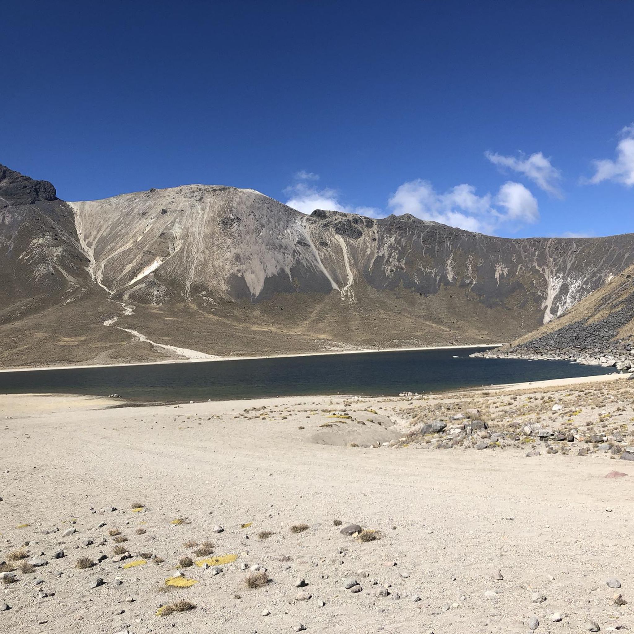
The most prominent natural attraction is the Nevado de Toluca National Park, home to the Xinantécatl volcano. Cyclists can experience breathtaking views, especially from the crater rim, which cradles the stunning Laguna del Sol and Laguna de la Luna. The Nevado de Toluca Summit offers unparalleled panoramic vistas.
What do other road cyclists say about the routes in Toluca?
The komoot community highly rates the routes in Toluca, with an average score of 4.9 stars from over 95 reviews. Many of the 140+ cyclists who have explored the area praise the challenging high-altitude climbs, diverse landscapes, and the rewarding views, particularly those leading towards the Nevado de Toluca.
Are there any beginner-friendly road cycling routes in Toluca?
Yes, Toluca offers 3 easy road cycling routes suitable for beginners or those looking for a less strenuous ride. These routes typically feature less elevation gain and shorter distances, allowing new cyclists to enjoy the scenery without excessive challenge. For example, the Maguey Hill – Montoneras Donas Calimaya loop from Toluca Centro is a moderate 44 km route with manageable elevation, which can be a good step up from easy routes.
What is the best time of year for road biking in Toluca?
The best time for road biking in Toluca generally aligns with the dry season, typically from November to May, when weather conditions are more stable and clear. However, due to the high altitude, temperatures can vary significantly, and it's always advisable to check local weather forecasts, especially when planning rides into the Nevado de Toluca National Park.
Are there any long-distance road cycling routes in Toluca?
Yes, Toluca features several long-distance road cycling routes for endurance enthusiasts. The Calzada Flotante Chapultepec – Petroleum Fountain loop from Lerma is a challenging 145 km route, and the El Mapa loop from San Juan de las Huertas spans nearly 128 km, both offering significant elevation gain and requiring considerable stamina.
Can I find cafes or places to stop for refreshments along the road cycling routes?
While specific cafes are not highlighted for every route, many routes pass through or near towns and villages where you can find local eateries and shops for refreshments. It's always a good idea to carry sufficient water and snacks, especially on longer or more remote sections, as services may be sparse in higher altitude or less populated areas.
What are the most challenging road cycling routes in Toluca?
Toluca is known for its challenging high-altitude cycling. Among the most difficult routes are the Calzada Flotante Chapultepec – Petroleum Fountain loop from Lerma (145 km with over 2500m elevation gain) and the El Mapa loop from San Juan de las Huertas (128 km with almost 3000m elevation gain). These routes demand excellent physical condition and experience with sustained climbs at high altitudes.
Are there any road cycling routes that offer views of other volcanoes?
On clear days, the panoramic vistas from the Nevado de Toluca National Park extend across the Valley of Toluca, offering glimpses of other significant volcanoes such as Popocatépetl and Iztaccíhuatl. Routes that ascend into the Nevado de Toluca area, like the Otomí Ceremonial Center – Valle de las Palomas loop from Villa Cuauhtémoc, are more likely to provide these distant views.
Most popular attractions in Toluca

Get inspired with the komoot mobile app


Didn’t find what you were looking for?
Check out more Road cycling routes throughout Toluca below and find the perfect route in your destination.
Explore more
Browse the best Road cycling routes in other regions.
