The best road cycling routes in Ocoyoacac
4.8
(50)
961
riders
9
rides
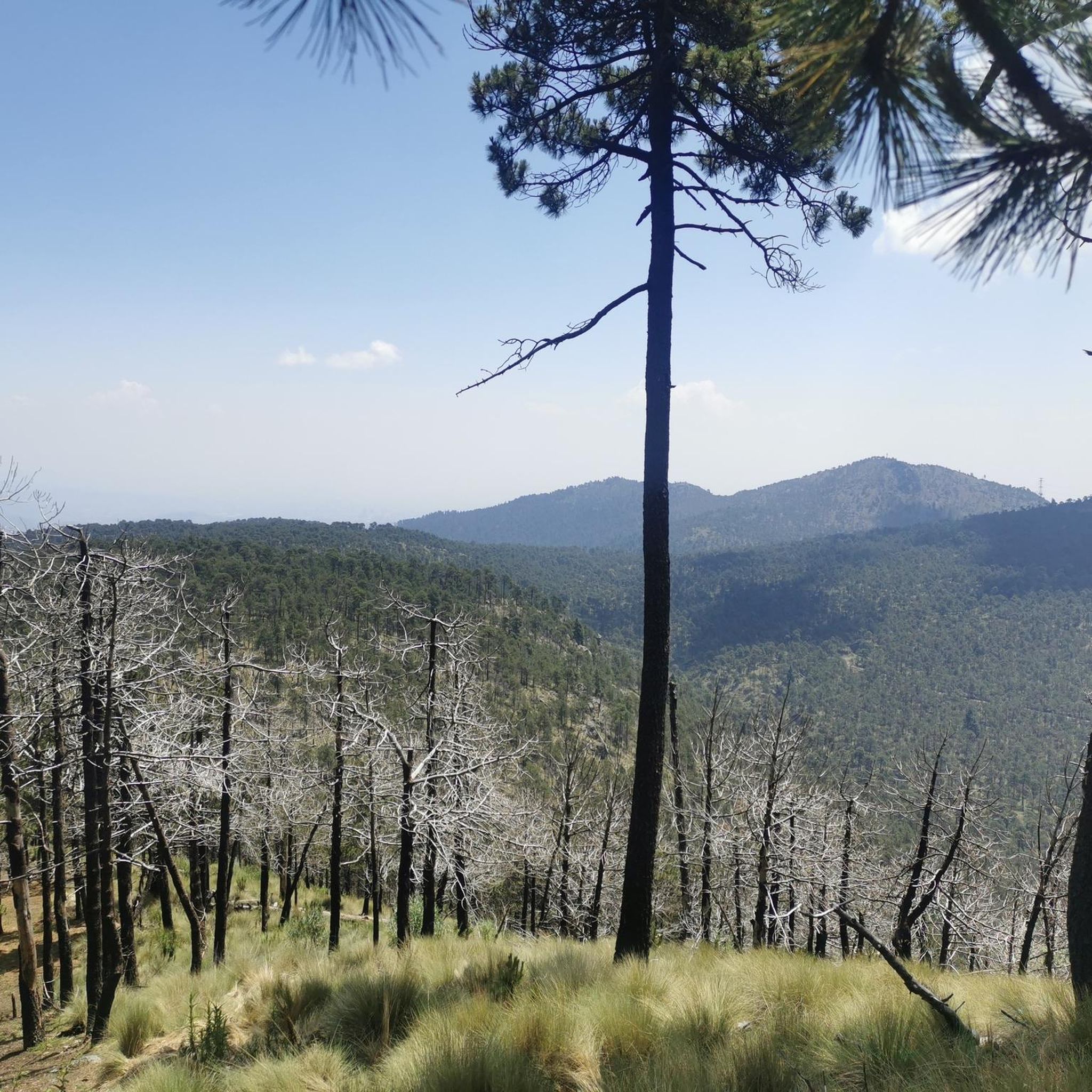
Road cycling routes in Ocoyoacac traverse diverse landscapes, from expansive forests and valleys to challenging volcanic terrain. The region, situated between Mexico City and Toluca, features an average elevation of around 9,531 feet, with routes offering significant climbs and descents. Cyclists can expect varied inclines and scenic backdrops, including views of green landscapes and winding paths through wooded areas. This environment provides opportunities for both leisurely rides and more strenuous training.
Best road cycling routes in Ocoyoacac
- The most popular…
Last updated: July 1, 2026
4.4
(5)
380
riders
48.9km
02:42
890m
890m
Moderate road ride. Good fitness required. Mostly well-paved surfaces and easy to ride.
150
riders
83.3km
04:46
1,760m
1,760m
Hard road ride. Very good fitness required. Mostly well-paved surfaces and easy to ride.

Sign up for free
5.0
(10)
157
riders
34.4km
02:13
780m
780m
Moderate road ride. Good fitness required. Mostly well-paved surfaces and easy to ride.
5.0
(1)
68
riders
145km
07:41
2,570m
2,570m
Hard road ride. Very good fitness required. Mostly well-paved surfaces and easy to ride.
61
riders
25.9km
01:33
590m
590m
Moderate road ride. Good fitness required. Mostly well-paved surfaces and easy to ride.
5.0
(1)
57
riders
Moderate road ride. Good fitness required. Mostly well-paved surfaces and easy to ride.
5.0
(2)
8
riders
26.5km
01:28
560m
560m
Moderate road ride. Good fitness required. Mostly well-paved surfaces and easy to ride.
4
riders
59.8km
03:18
1,160m
1,150m
Hard road ride. Very good fitness required. Mostly well-paved surfaces and easy to ride.
6
riders
63.9km
05:44
1,450m
1,450m
Hard road ride. Very good fitness required. Some segments of this route may be unpaved and difficult to ride.
Our route recommendations are based on thousands of hikes, rides, and runs completed by other people on komoot.
Start today with a free account
Your next adventure awaits.
Login or Signup

Tips from the Community

La Mexicana Park is a modern facility that has become a green oasis for athletes among the tall buildings.
0
0

Beside the road stands a small image of Our Lady of Guadalupe, watched over with devotion by passersby. Many people stop for a few minutes to leave flowers, candles, or other offerings, giving thanks for favors received or asking for protection on their journey. It's a simple spot, but full of faith and meaning.
0
0

Here's a mural of two of the best players in history. A photo never hurts.
2
0

This interesting convent, built in the 17th century by Carmelite monks, later converted into a military barracks and which holds many "paranormal" stories, is now open to visitors and serves as a base for numerous walks in the area.
0
0

The route is shared with cyclists in some sections.
0
0

It's a pleasant route and suitable for all cyclists...
0
0

The Holtz House, also known as the residence of engineer Ignacio Holtz, is an Art Nouveau house located in Lomas de Chapultepec, Mexico City. Considered the largest Art Nouveau building in the world, it measures 2,300 square meters and is spread over four floors.
0
0

Just before the Xalatlaco highway crossing, before the Cantimplora Valley, is the abandoned cabin where food was prepared many years ago. Now it's roofless, and only the remains of the fireplace, tables, and walls with their windows remain. Once, it served as a shelter in bad weather when everything was closed, but now, without a roof, all that remains is a memory of what once was.
2
0
Frequently Asked Questions
How many road cycling routes are available in Ocoyoacac?
There are 10 road cycling routes in Ocoyoacac, offering a variety of experiences for different skill levels. These routes traverse diverse landscapes, from forests and valleys to challenging volcanic terrain.
What kind of terrain will I encounter on road cycling routes in Ocoyoacac?
Ocoyoacac's road cycling routes feature diverse terrain, including winding paths through forests, valleys, and challenging volcanic areas. You can expect significant climbs and descents, as the region has an average elevation of around 9,531 feet, with some points reaching up to 12,618 feet. The roads offer varying inclines, suitable for both leisurely rides and strenuous training.
What is the best time of year for road cycling in Ocoyoacac?
The most favorable time for road cycling in Ocoyoacac is from late March to early June, with a peak in the second week of May. During this period, the climate is comfortable, with temperatures typically ranging between 33°F and 74°F, and you can expect clear, rainless days, making for ideal riding conditions.
Are there any easy road cycling routes for beginners in Ocoyoacac?
Yes, there is one easy road cycling route suitable for beginners. The Mobile food stand loop from San Lorenzo Acopilco is a shorter option, perfect for those new to road cycling or looking for a more relaxed ride.
Which routes offer a significant challenge for experienced road cyclists?
For experienced road cyclists seeking a challenge, Ocoyoacac offers several difficult routes. Consider the Petroleum Fountain – Desierto de los Leones Viewpoint loop from Huixquilucan de Degollado, which is 51.6 miles (83.1 km) with substantial elevation gain. Another demanding option is the Calzada Flotante Chapultepec – Petroleum Fountain loop from Lerma, spanning 90.3 miles (145.4 km) with over 2,500 meters of ascent.
Are there any circular road cycling routes in Ocoyoacac?
Yes, all 10 road cycling routes in Ocoyoacac are designed as loops. This allows cyclists to start and finish at the same point, making logistics easier. Examples include the Ahuehuetes Sur – Petroleum Fountain loop from San Lorenzo Acopilco and the Parque La Mexicana loop from San Lorenzo Acopilco.
What interesting landmarks or attractions can I see along the road cycling routes?
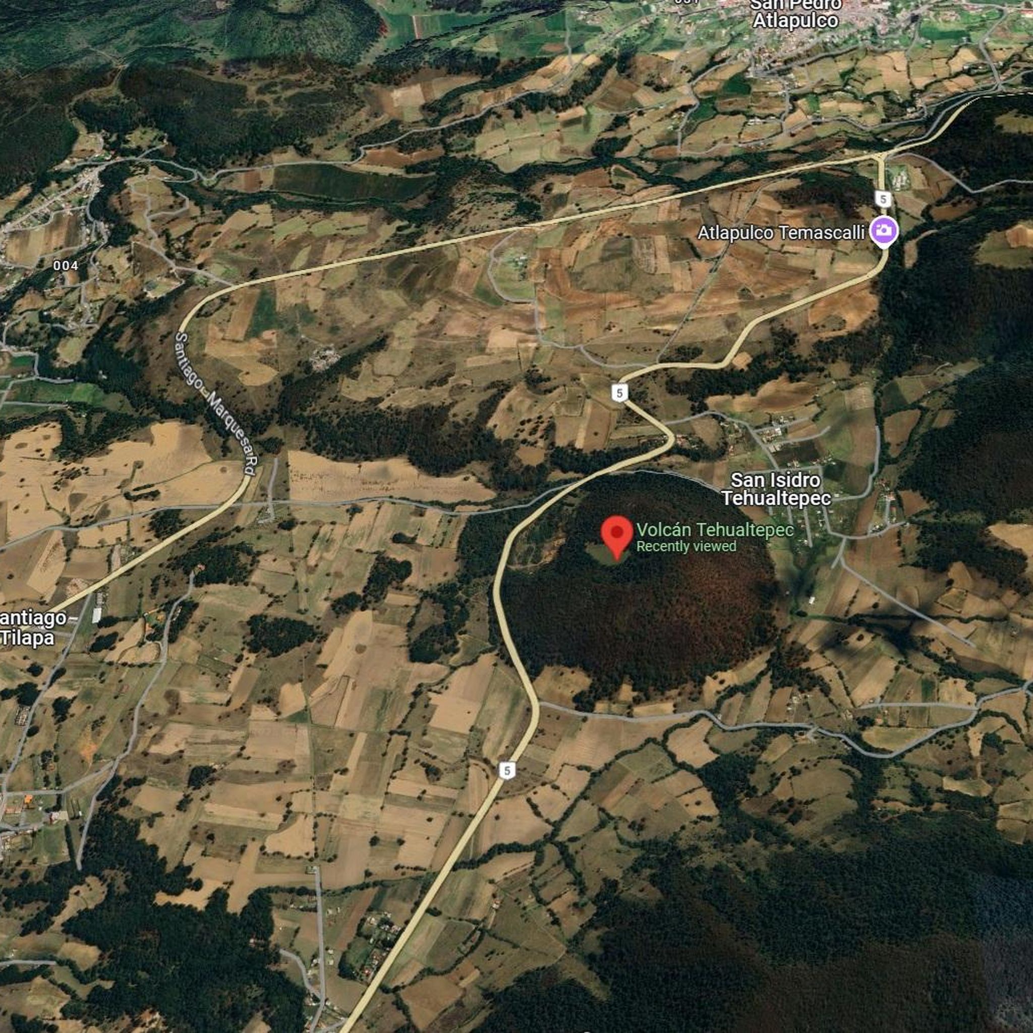
Along the road cycling routes in Ocoyoacac, you can discover several notable attractions. The region features volcanic terrain, including the Tehualtepec Volcano Route. You might also encounter the Trail to the Ajolotes Spring or the Muro de Ocoyoacac, which is a climbing spot. These points of interest add to the scenic beauty and cultural experience of your ride.
What do other road cyclists enjoy most about cycling in Ocoyoacac?
The road cycling routes in Ocoyoacac are highly rated by the komoot community, with an average score of 4.8 stars from over 40 reviews. Cyclists often praise the diverse landscapes, including winding paths through forests and green, flowery scenery, especially during the rainy season. The varied inclines also provide excellent opportunities for both leisurely rides and more strenuous training.
Are there any family-friendly road cycling options in Ocoyoacac?
While most road cycling routes in Ocoyoacac involve significant elevation changes and distances, the Mobile food stand loop from San Lorenzo Acopilco is an easy route that could be suitable for families with older children who are comfortable with road cycling. For younger children, it's advisable to consider the difficulty and traffic conditions of specific sections.
Is Ocoyoacac suitable for road cycling with dogs?
Road cycling, particularly on the routes in Ocoyoacac which often involve significant distances, elevation changes, and public roads, is generally not recommended for cycling with dogs. The terrain and pace are typically not suitable for pets, and it can pose safety risks for both the dog and the cyclist. It's best to leave your canine companions at home for these types of rides.
Are there places to eat or get refreshments near the road cycling routes?
Ocoyoacac offers a rustic charm, and while specific cafes or restaurants directly on every route might vary, the area is known for its local amenities. You can often find places to eat in the towns and villages along or near the routes. For example, the Mobile food stand loop from San Lorenzo Acopilco even hints at local food options.
What are the typical weather conditions for road cycling in Ocoyoacac?
Ocoyoacac generally experiences a comfortable year-round climate, with temperatures typically varying between 33°F and 74°F. The best conditions for cycling are usually from late March to early June, offering pleasant temperatures and clear, rainless days. However, given the region's elevation, weather can change, so it's always wise to check the forecast and prepare for varying conditions, especially at higher altitudes.
Most popular attractions in Ocoyoacac

Get inspired with the komoot mobile app


Didn’t find what you were looking for?
Check out more Road cycling routes throughout Ocoyoacac below and find the perfect route in your destination.
Explore more
Browse the best Road cycling routes in other regions.
