The best road cycling routes in Nezahualcóyotl
5.0
(34)
697
riders
7
rides
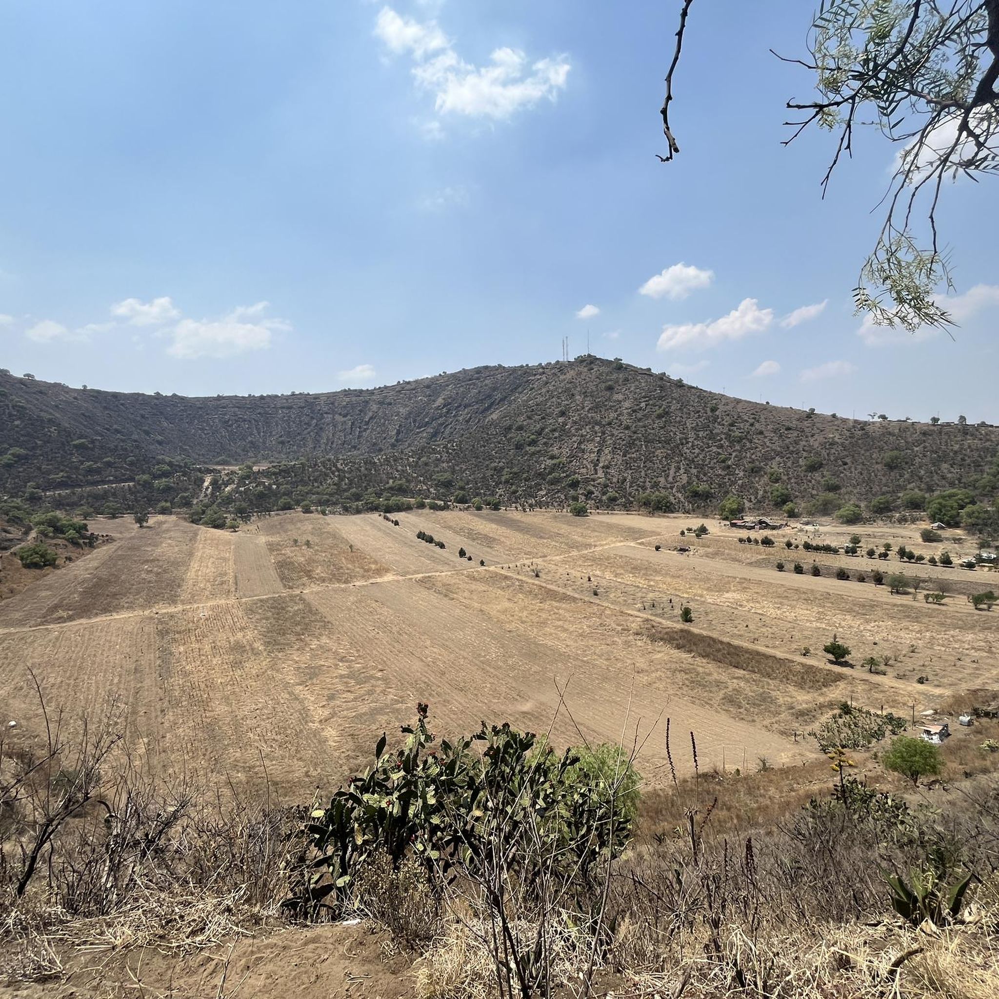
Road cycling routes in Nezahualcóyotl offer diverse terrain with varying elevation gains. The region features ascents and descents, providing engaging road cycling experiences. Cyclists can encounter routes with elevation gains ranging from under 1,000 feet to over 3,000 feet, suggesting a varied topography. Many routes provide panoramic views, including distant volcanoes, and incorporate tree-lined sections.
Best road cycling routes in Nezahualcóyotl
- The most popular road cycling route is Diana the Huntress Fountain – Reforma — Bicycle Dismount Zone loop from…
Last updated: July 10, 2026
5.0
(7)
13
riders
Easy road ride. Great for any fitness level. Mostly well-paved surfaces and easy to ride.
12
riders
Moderate road ride. Good fitness required. Mostly well-paved surfaces and easy to ride.

Sign up for free
6
riders
46.8km
01:51
70m
70m
Moderate road ride. Great for any fitness level. Some segments of this route may be unpaved and difficult to ride.
7
riders
16.9km
00:43
30m
30m
Easy road ride. Great for any fitness level. Mostly well-paved surfaces and easy to ride.
5.0
(5)
6
riders
21.3km
01:11
200m
200m
Easy road ride. Great for any fitness level. Mostly well-paved surfaces and easy to ride.
5.0
(1)
4
riders
27.6km
01:10
70m
70m
Easy road ride. Great for any fitness level. Mostly well-paved surfaces and easy to ride.
Our route recommendations are based on thousands of hikes, rides, and runs completed by other people on komoot.
Start today with a free account
Your next adventure awaits.
Login or Signup
Popular around Nezahualcóyotl

Tips from the Community

This is a spectacular bronze statue representing the Roman goddess of the hunt. It was unveiled in 1942.
0
0
This is one of the city's most iconic landmarks. The column and statue together reach almost 50 meters in height. It symbolizes the freedom of the Mexican people from Spanish rule.
0
0

The Holtz House, also known as the residence of engineer Ignacio Holtz, is an Art Nouveau house located in Lomas de Chapultepec, Mexico City. Considered the largest Art Nouveau building in the world, it measures 2,300 square meters and is spread over four floors.
0
0

It's a good place for beginners
1
0

Every Sunday at the Reforma (8am-2pm)
1
0

Is better to come here with a big group ride since cars on the high go too fast
1
0
Nice place to ride, specially in the mornings during the weekend where no cars are around. The earlier the better. If cycling during the week be careful with the traffic.
0
0

If you are on a bike, it's best to see it on a Sunday, when you can bike on Reforma. Every Sunday except the last of Sunday of the month, for more info in Spanish see the site below: https://www.semovi.cdmx.gob.mx/tramites-y-servicios/mi-bici/muevete-en-bici Alternatively, Reforma has bike paths (ciclo-pistas) on the by-street.
0
0
Frequently Asked Questions
What kind of terrain can I expect on road cycling routes in Nezahualcóyotl?
Nezahualcóyotl offers a varied topography for road cycling, with routes featuring both ascents and descents. You can find rides with elevation gains ranging from under 1,000 feet for easier routes to over 3,000 feet for more challenging journeys, providing engaging experiences for different skill levels.
Are there road cycling routes with panoramic views in the Nezahualcóyotl area?
Yes, many routes in the region offer breathtaking panoramic views. For instance, the La Loma Viewpoint is a classic cycling spot where you can enjoy sweeping vistas. On clear days, it's even possible to see distant volcanoes, adding a spectacular natural backdrop to your ride. Another route, Estación Contreras Museum – View of Mexico City loop from Nativitas, specifically highlights views of Mexico City.
What are some notable landmarks I can see while road cycling in Nezahualcóyotl?
Road cycling in the Nezahualcóyotl area can incorporate significant urban landmarks. Routes often pass by iconic spots such as the Diana the Huntress Fountain, the Angel of Independence, and the Calzada Flotante Chapultepec, allowing for a blend of scenic and cultural exploration. For example, the Diana the Huntress Fountain – Reforma — Bicycle Dismount Zone loop from Clínica 76 is an easy route featuring urban landmarks.
Are there any easy road cycling routes suitable for beginners in Nezahualcóyotl?
Yes, Nezahualcóyotl offers several easy road cycling routes. The region has 5 easy routes, perfect for those new to road cycling or looking for a more relaxed ride. An example is the Diana the Huntress Fountain – Reforma — Bicycle Dismount Zone loop from Clínica 76, which is 22.6 miles (36.3 km) long and takes about 1 hour 34 minutes to complete.
What do other road cyclists say about the routes in Nezahualcóyotl?
The road cycling routes in Nezahualcóyotl are highly regarded by the komoot community, holding an average rating of 5.0 stars from more than 20 reviews. Over 600 road cyclists have used komoot to explore the region's varied terrain, often praising the diverse topography and panoramic viewpoints.
Are there any tree-lined road cycling routes for a more shaded experience?
Yes, you can find routes that incorporate scenic, shaded sections. The Tree-Lined Road in Mexico – View of Pico del Águila loop from Nativitas is a notable example, offering a pleasant aesthetic and more comfortable ride, especially on sunny days.
How many road cycling routes are available in Nezahualcóyotl?
There are 7 road cycling routes available in Nezahualcóyotl, catering to various skill levels from easy to difficult. This network provides a good selection for different preferences and fitness levels.
Are there any challenging road cycling routes for experienced cyclists?
Absolutely. Nezahualcóyotl offers routes with significant elevation gains, ideal for experienced cyclists seeking a challenge. For example, the Calzada Flotante Chapultepec – Petroleum Fountain loop from Nativitas is a difficult route covering 83.7 miles (134.6 km) with substantial climbs.
Can I find circular road cycling routes in Nezahualcóyotl?
Yes, many of the road cycling routes in Nezahualcóyotl are designed as loops, allowing you to start and end your ride in the same location. Examples include the Angel of Independence – Diana the Huntress Fountain loop from Bellas Artes and the La Loma Viewpoint – San Lorenzo Viewpoint loop from Mexicaltzingo.
Are there places to stop for refreshments or food along the cycling routes?
Yes, some popular cycling spots, like the La Loma Viewpoint, are known to have food stalls offering refreshments such as quesadillas, coffee, beer, and pulque. Additionally, the presence of establishments like 'Rutas Café Ciclista' in the broader region indicates a supportive community and infrastructure for cyclists, suggesting places to refuel and relax.
What is the typical duration for road cycling routes in Nezahualcóyotl?
The duration of road cycling routes in Nezahualcóyotl varies significantly based on distance and difficulty. Easy routes, like the Diana the Huntress Fountain – Reforma — Bicycle Dismount Zone loop from Clínica 76, can take around 1 hour 34 minutes, while more extensive routes such as the Tree-Lined Road in Mexico – View of Pico del Águila loop from Nativitas might take about 4 hours 30 minutes.
Most popular routes in Nezahualcóyotl

Get inspired with the komoot mobile app


Explore more
Browse the best Road cycling routes in other regions.
