The best walks and hikes in Naucalpan De Juárez
4.7
(20)
709
hikers
52
hikes
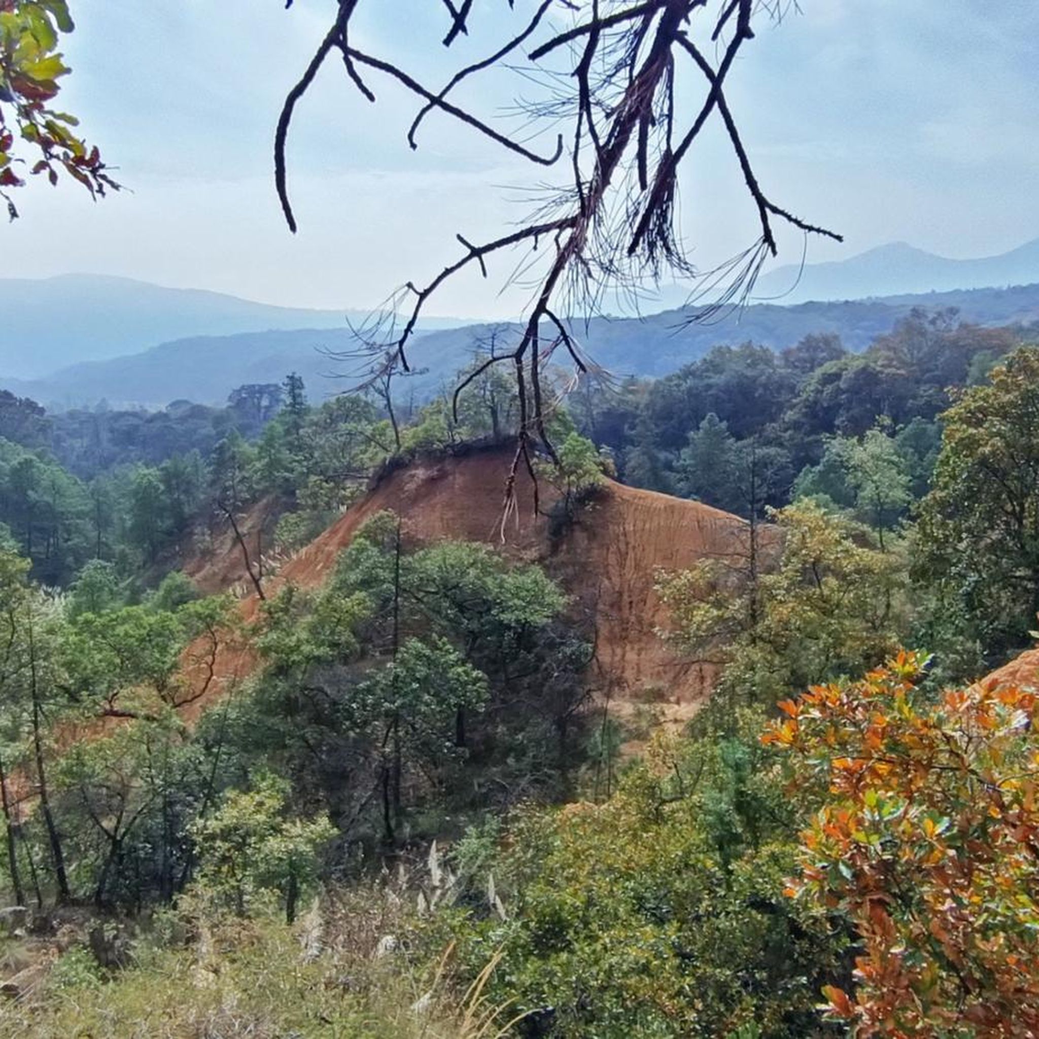
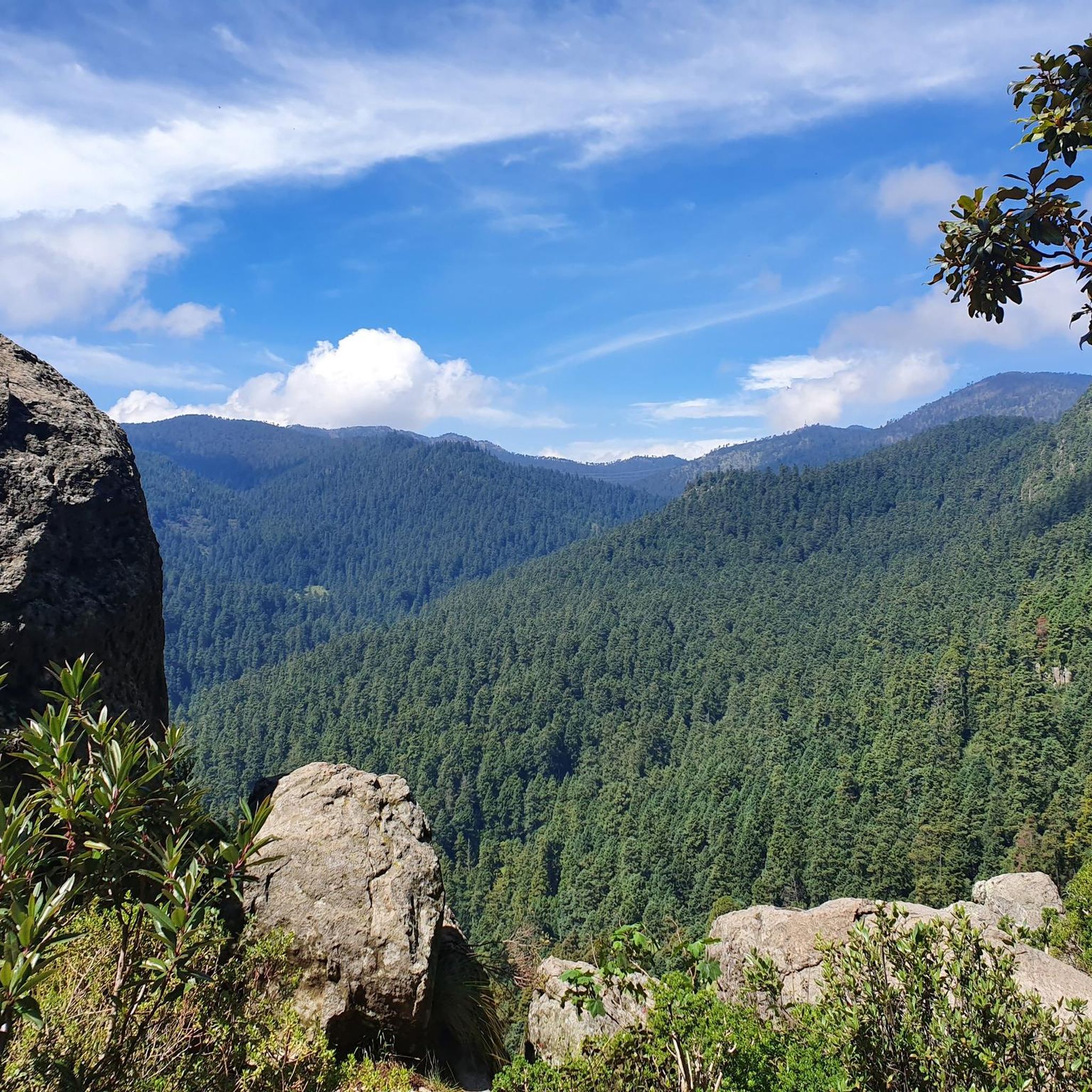
Hiking in Naucalpan De Juárez offers opportunities to explore natural and historical features within its vicinity. While largely industrialized, the municipality borders areas that provide diverse terrain for outdoor activities. The region around Los Remedios, including the Acueducto de Los Remedios, is a notable area for exploration, featuring landscapes suitable for various trekking experiences.
Best hiking trails in Naucalpan De Juárez
- The most popular hiking route is Paseo de la Reforma hasta la Alameda — Ida y vuelta, a 9.0 miles (14.5 km) trail that takes 3 hours 43 minutes to complete. This route offers an urban exploration experience.
- Another top favourite among local hikers is Lago Mayor Circuit, an easy 3.2 miles (5.2 km) path. This circuit provides a pleasant walk around the lake.
- Local hikers also love the Tour Chapultepec — Ciudad de Mexico, a 5.7 miles (9.2 km) trail leading through urban parks and cityscapes, often completed in about 2 hours 24 minutes.
- Hiking in Naucalpan De Juárez is defined by urban park trails, historical aqueducts, and varied cityscapes. The network offers options for different ability levels, from easy strolls to more moderate hikes.
- The routes in Naucalpan De Juárez are highly rated by the komoot community with an average score of 4.8 stars from over 15 reviews. More than 700 hikers have used komoot to explore Naucalpan De Juárez's varied terrain.
Last updated: July 1, 2026
5.0
(1)
55
hikers
14.5km
03:43
70m
70m
Moderate hike. Good fitness required. Easily-accessible paths. Suitable for all skill levels.
4.0
(1)
47
hikers
5.15km
01:21
50m
40m
Easy hike. Great for any fitness level. Easily-accessible paths. Suitable for all skill levels.

Sign up for free
9.16km
02:25
80m
80m
Moderate hike. Good fitness required. Easily-accessible paths. Suitable for all skill levels.
2.81km
00:44
20m
30m
Easy hike. Great for any fitness level. Easily-accessible paths. Suitable for all skill levels.
5.0
(1)
64
hikers
Easy hike. Great for any fitness level. Easily-accessible paths. Suitable for all skill levels.
13
hikers
6.93km
01:46
30m
30m
Easy hike. Great for any fitness level. Easily-accessible paths. Suitable for all skill levels.
13
hikers
Easy hike. Great for any fitness level. Easily-accessible paths. Suitable for all skill levels.
12
hikers
Moderate hike. Good fitness required. Easily-accessible paths. Suitable for all skill levels.
10
hikers
Easy hike. Great for any fitness level. Easily-accessible paths. Suitable for all skill levels.
5.0
(1)
6
hikers
Moderate hike. Good fitness required. Easily-accessible paths. Suitable for all skill levels.
Get access to more routes and recommendations from other explorers.
Sign up for free
Already have an account?
Our route recommendations are based on thousands of hikes, rides, and runs completed by other people on komoot.
Start today with a free account
Your next adventure awaits.
Login or Signup



Tips from the Community

And much more. Be sure to read up on the history beforehand.
0
0

Only on car-free Sundays can you stop in front of the Angel of Peace and view it "from close range".
0
0

The National Museum of Anthropology blends seamlessly into Chapultepec Forest with its open courtyards and the monumental Tláloc fountain that flows outwards. Its architecture, designed by Ramírez Vázquez, engages in a dialogue with nature, evoking pre-Hispanic rituals. It is recognized worldwide as one of the finest anthropological museums for its iconic collection and innovative design.
0
0

This is a spectacular bronze statue representing the Roman goddess of the hunt. It was unveiled in 1942.
0
0

The First Section of Chapultepec Forest is the most historic and popular part of this large urban park, home to Chapultepec Castle, several museums, the zoo, and lakes surrounded by green spaces. It's a perfect place to combine a cultural outing with time spent outdoors, whether walking, running, or cycling along its tree-lined avenues. It's best to avoid the hottest hours and busiest weekends if you're looking for a more peaceful atmosphere.
0
0

It is a historic temple located in the heart of the city. Its architecture combines colonial elements with baroque details, highlighting its ornate facade and solemn interior.
0
0

One of the most beautiful green spaces in Mexico City, it is particularly worth visiting, especially in springtime when everything is in bloom.
0
0
The Paseo de los Compositores (Walk of the Composers), located in the Jardín de la Tercera Edad (Garden of the Third Age), pays homage to great figures of Mexican music with bronze busts created by sculptor Octavio Ponzanelli. Among them are Agustín Lara, María Grever, Silvestre Revueltas, and Juventino Rosas, composer of the famous waltz "Over the Waves." It is a peaceful and shaded promenade, ideal for relaxing and enjoying the cultural surroundings. In the same area, a fountain featuring the figure of "Cri-Cri" commemorates the beloved character created by Francisco Gabilondo Soler.
1
0
Frequently Asked Questions
What kind of terrain can I expect when hiking in Naucalpan De Juárez?
Hiking in Naucalpan De Juárez primarily features urban park trails, historical aqueducts, and varied cityscapes. The region around Los Remedios, including the Acueducto de Los Remedios, offers notable landscapes for exploration. While largely industrialized, the municipality borders areas that provide diverse terrain suitable for various trekking experiences.
Are there many easy hiking options available in Naucalpan De Juárez?
Yes, Naucalpan De Juárez offers a good selection of easy hikes. Out of 55 total routes, 40 are classified as easy. An example of an easy and pleasant walk is the Lago Mayor Circuit, which is 3.2 miles (5.2 km) long.
What are some notable landmarks or natural features to look out for on the trails?
A significant natural and historical landmark in Naucalpan De Juárez is the Acueducto de Los Remedios. Many routes also lead through urban parks and offer views of cityscapes. For instance, the Tour Chapultepec — Ciudad de Mexico takes you through prominent urban green spaces.
How long do hikes in Naucalpan De Juárez typically take?
Hike durations vary depending on the route and your pace. For example, the Paseo de la Reforma hasta la Alameda — Ida y vuelta is a longer route at 9.0 miles (14.5 km) and typically takes around 3 hours 43 minutes. Shorter options like the El Sope Circuit are about 1.7 miles (2.8 km) and can be completed in under an hour.
Are there any circular hiking routes in the area?
Yes, there are several circular routes available. The Lago Mayor Circuit is a popular easy loop. Another option is the El Sope Circuit, which also offers a pleasant circular walk.
What do other hikers say about the trails in Naucalpan De Juárez?
The routes in Naucalpan De Juárez are highly rated by the komoot community, with an average score of 4.8 stars from over 15 reviews. Hikers often praise the varied terrain that blends natural beauty with urban exploration, and the accessibility of trails for different ability levels.
How many hiking trails are there in Naucalpan De Juárez?
There are over 50 hiking and walking routes available in Naucalpan De Juárez, offering a wide variety of experiences from easy strolls to more moderate hikes.
Are there any family-friendly hiking trails?
Many of the easy routes are suitable for families. The Lago Mayor Circuit, for example, is an easy 3.2-mile path that provides a pleasant walk around the lake, ideal for families.
Can I bring my dog on the hiking trails?
While specific regulations for each trail regarding dogs are not provided, many urban parks and natural areas in Mexico are generally dog-friendly, especially if dogs are kept on a leash. It's always recommended to check local signage or specific park rules before heading out with your pet.
What is the best time of year to go hiking in Naucalpan De Juárez?
Naucalpan De Juárez generally has a temperate climate. The dry season, typically from November to April, offers more predictable weather conditions with less rain, making it an ideal time for hiking. However, trails can be enjoyed year-round, with the rainy season bringing lush greenery.
Are there any longer, more challenging hikes for experienced hikers?
While there are no routes classified as 'difficult' in the immediate area, more experienced hikers can combine routes or tackle longer moderate trails. The Paseo de la Reforma hasta la Alameda — Ida y vuelta, at 9.0 miles (14.5 km), offers a substantial urban exploration experience for those looking for a longer outing.
Is public transport available to reach hiking trailheads?
Naucalpan De Juárez is part of the greater Mexico City metropolitan area, which has an extensive public transport network. Many urban parks and landmarks that serve as trailheads are accessible via buses, metro, or other local transport options. It's advisable to check specific routes and connections for your chosen trailhead.
Most popular routes in Naucalpan De Juárez

Get inspired with the komoot mobile app


Didn’t find what you were looking for?
Check out more Hikes throughout Naucalpan De Juárez below and find the perfect route in your destination.
Explore more
Browse the best Hikes in other regions.
