The best walks and hikes in Atlautla
4.9
(54)
380
hikers
10
hikes
Hiking in Atlautla offers access to a mountainous landscape within the State of Mexico, characterized by high-altitude environments and diverse natural features. The region is home to 14 named mountains, including the prominent Popocatépetl, providing varied terrain for outdoor activities. Hikers can explore routes that traverse significant elevations and offer views of the surrounding natural attractions.
Best hiking trails in Atlautla
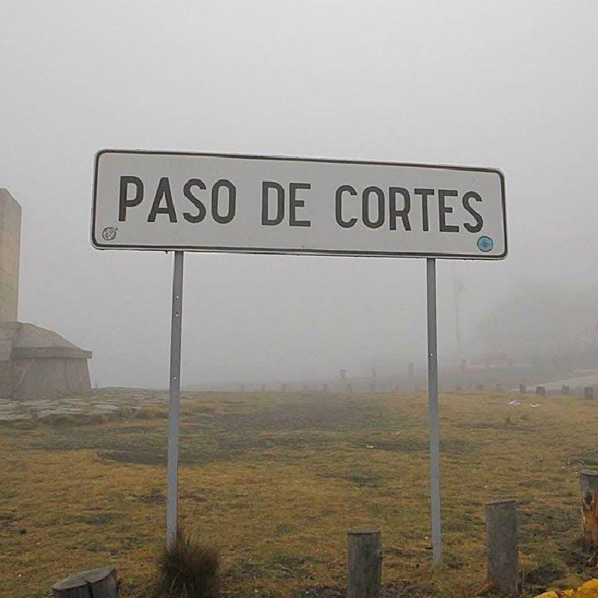
- The most popular hiking route is Apatlaco River Waterfall – Paso de Cortés loop from Paso de Cortés,…
Last updated: July 1, 2026
4.7
(22)
162
hikers
13.1km
04:47
410m
410m
Hard hike. Good fitness required. Sure-footedness, sturdy shoes and alpine experience required.
5.0
(1)
9
hikers
15.6km
04:46
400m
400m
Moderate hike. Good fitness required. Mostly accessible paths. Sure-footedness required.

Sign up for free
4.9
(16)
50
hikers
7.35km
02:24
340m
340m
Moderate hike. Good fitness required. Easily-accessible paths. Suitable for all skill levels.
4.7
(7)
50
hikers
4.44km
02:28
390m
390m
Hard hike. Good fitness required. Sure-footedness, sturdy shoes and alpine experience required.
30
hikers
10.1km
04:40
990m
980m
Hard hike. Very good fitness required. Sure-footedness, sturdy shoes and alpine experience required.
5.0
(2)
29
hikers
6.52km
03:12
420m
420m
Hard hike. Good fitness required. Sure-footedness, sturdy shoes and alpine experience required.
5.0
(3)
14
hikers
Moderate hike. Good fitness required. Easily-accessible paths. Suitable for all skill levels.
5.0
(2)
7
hikers
4.71km
01:36
100m
100m
Moderate hike. Great for any fitness level. Mostly accessible paths. Sure-footedness required.
Get access to more routes and recommendations from other explorers.
Sign up for free
Already have an account?
Our route recommendations are based on thousands of hikes, rides, and runs completed by other people on komoot.
Start today with a free account
Your next adventure awaits.
Login or Signup
Popular around Atlautla
Tips from the Community

It is not such a perfect area for resting, due to the amount of people, but it is worth visiting if you are on a basic training plan
0
0

Shelter for overnight stays before climbing to the summit of Iztaccíhuatl via Ayoloco.
0
0
An iconic rock for its shark shape, it is a reference point for the route to the Otis McAllister refuge.
0
0

Walking toward La Burbuja waterfall, you'll find this rest stop, an open space with a flat area, food, a restroom, a swing, and several log benches. It's located between the river and the forest, offering a delightfully cool and relaxing experience for having fun or just lying in the grass to recharge your batteries.
2
0

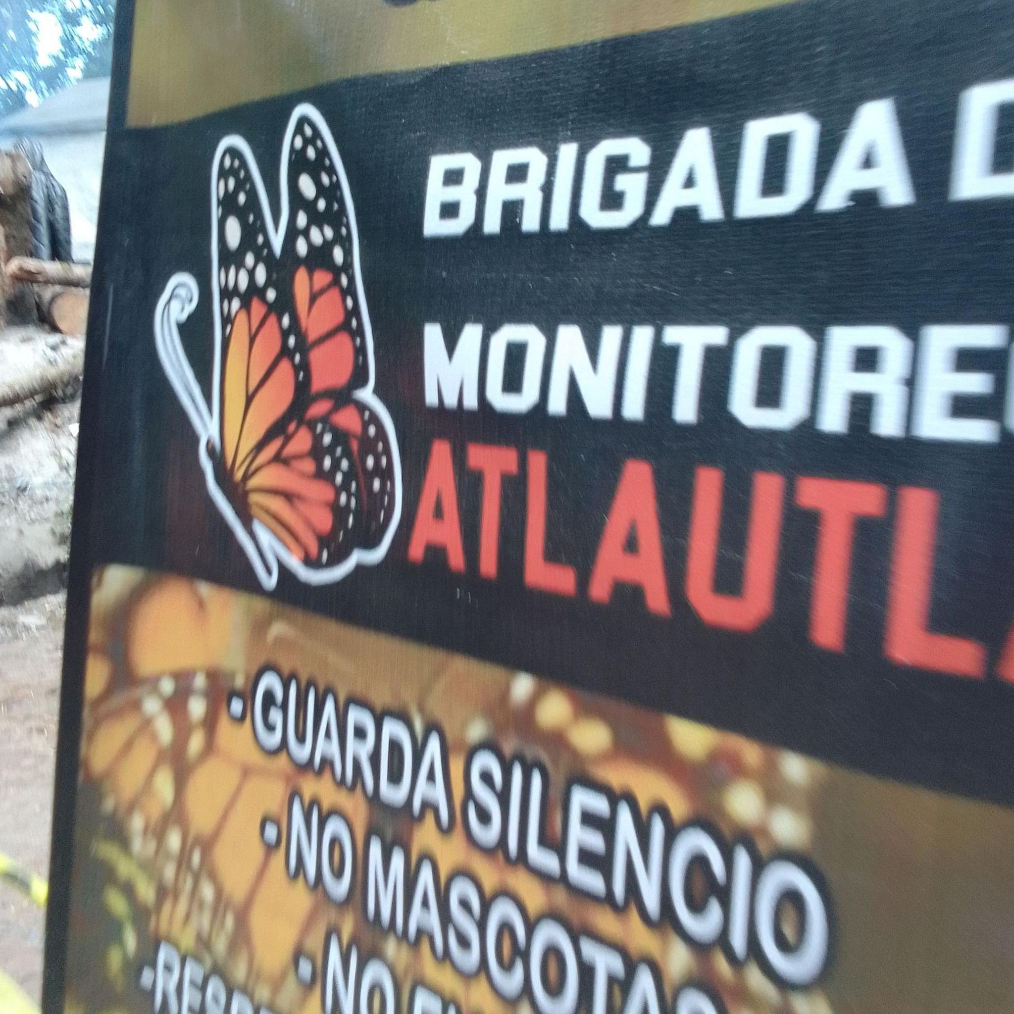
Important: It is highly recommended to book your hiking trip in advance (free of costs). There are only limited spaces in each time slot and especially in high season it can happen that all slots are full. We almost could not hike in low season (January). In the information centre you have to fill out a formular with your booked slot and information about your group, which has to be handed out at the start of your hike at the small wooden cabin.
0
0
Nice spot for having a rest with an impressive view to both sides of the mountain. Last stop before you have to climb up.
0
0


Really nice waterfall - the last kilometer is a bit tricky to walk, but easy to do
0
0
Frequently Asked Questions
How many hiking trails are available in Atlautla?
Atlautla offers a diverse network of over 10 hiking trails, catering to various skill levels. These routes traverse the region's mountainous terrain, providing opportunities to explore high-altitude environments and natural features.
Are there any circular hiking routes in Atlautla?
Yes, Atlautla features several excellent circular routes. For example, the Apatlaco River Waterfall – Paso de Cortés loop from Paso de Cortés is a moderate 15.6 km trail that includes a river waterfall. Another option is the Paso de Cortés loop from Paso de Cortés, which is 8 km long.
Are there any trails that feature waterfalls in Atlautla?
Absolutely. The region is known for its waterfalls. You can explore the La Burbuja Waterfall – Place to relax loop from IVN1, a moderate 7.3 km path leading to La Burbuja Waterfall. Another route, the Apatlaco River Waterfall – Paso de Cortés loop from Paso de Cortés, also features a river waterfall.
What is the best season for hiking in Atlautla?
Given Atlautla's mountainous landscape and high-altitude environments, the dry season, typically from November to May, is generally the most favorable for hiking. During these months, you can expect clearer skies and more stable weather conditions, which are ideal for exploring the trails and enjoying panoramic views of peaks like Popocatépetl.
Are there challenging hikes for experienced hikers in Atlautla?
Yes, Atlautla offers several difficult routes for experienced hikers. The Best located campsite – Shark Head Rock loop from Eje Neovolcánico is a challenging 10.1 km trail with significant elevation gain. Another demanding option is the Best located campsite – Alpinists' Cross loop from Refugio Altzomoni, covering 6.5 km with considerable ascent.
What kind of views can I expect on Atlautla's hiking trails?
Hikers in Atlautla can expect stunning panoramic views, especially from higher elevations. The region is dominated by mountains, including the majestic Popocatépetl, and other notable peaks like El Fraile and Ventorrillo. Trails often offer vistas of these volcanic landscapes and the surrounding natural beauty of the State of Mexico.
Are there any family-friendly hiking options in Atlautla?
While many trails in Atlautla involve mountainous terrain, some routes are more accessible. For a moderate option that can be enjoyed by families, consider the Pico de Orizaba Visitor Center – Paso de Cortés loop from Paso de Cortés, a 4.7 km trail with less elevation gain, offering a pleasant walk.
Is public transport available to reach hiking trailheads in Atlautla?
Information on specific public transport routes directly to all trailheads in Atlautla is limited. It is generally recommended to research local bus services or consider private transportation options to reach the more remote starting points for hiking, especially those closer to the higher mountain areas.
What do other hikers say about the trails in Atlautla?
The hiking routes in Atlautla are highly regarded by the komoot community, holding an impressive average rating of 4.9 stars from over 50 reviews. Hikers frequently praise the diverse terrain, the stunning natural features like waterfalls, and the challenging yet rewarding high-altitude experiences.
Are there any permits required for hiking in Atlautla, especially near Popocatépetl?
Hiking near active volcanoes like Popocatépetl often involves specific regulations and potential access restrictions due to safety concerns. While general hiking in Atlautla may not require permits, it is crucial to check the current status and any permit requirements for trails within or near the Popocatépetl-Iztaccíhuatl National Park before planning your trip.
Are there any places to stay or eat near the hiking areas in Atlautla?
Atlautla and its surrounding areas are developing their tourism potential, offering opportunities to experience authentic community life. While specific cafes or accommodations directly at trailheads might be scarce, you can find options within Atlautla municipality or nearby towns. It's advisable to check local listings for guesthouses or eateries before your visit.

Get inspired with the komoot mobile app


Explore more
Browse the best Hikes in other regions.
