The best walks and hikes in Gustavo A. Madero
4.6
(49)
756
hikers
60
hikes
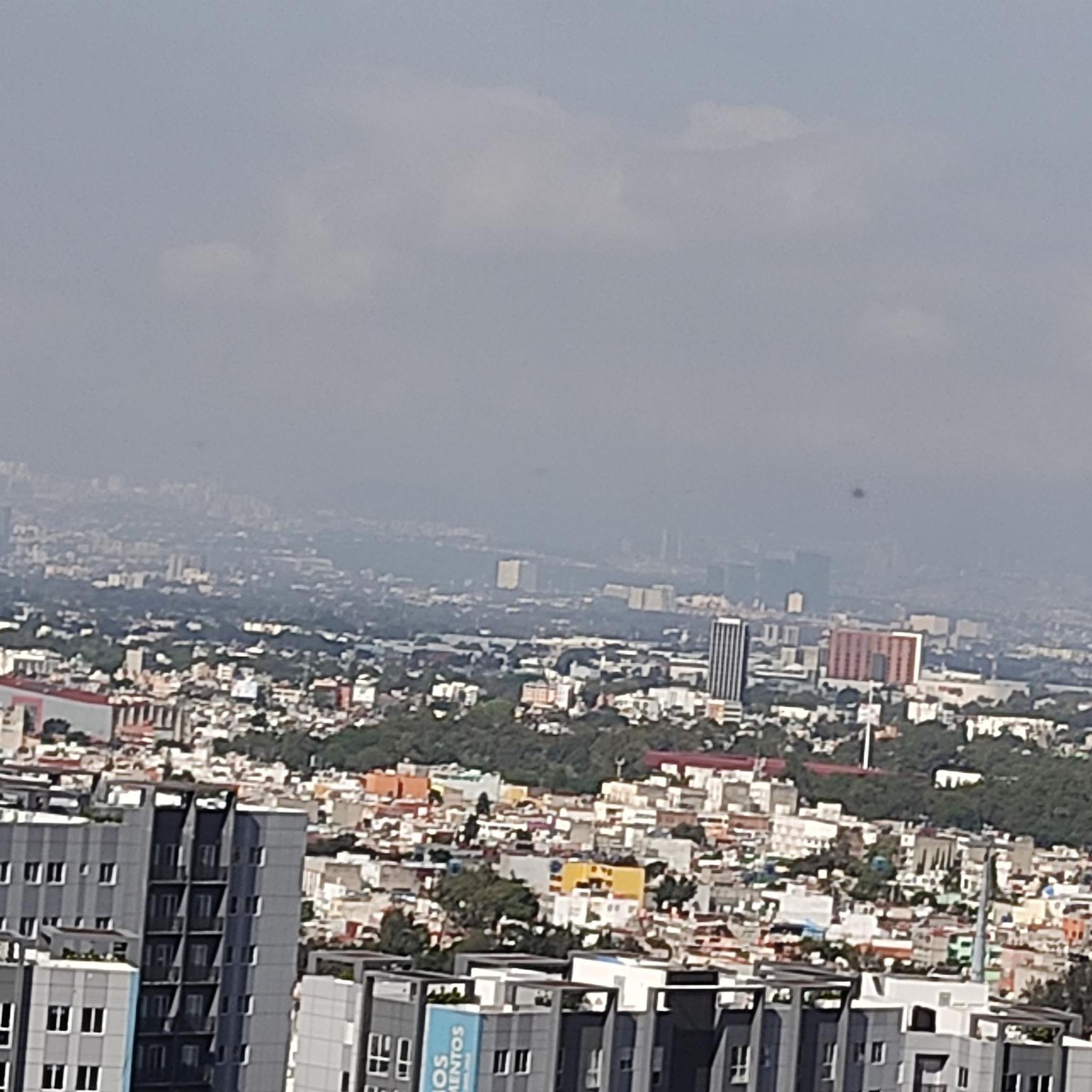
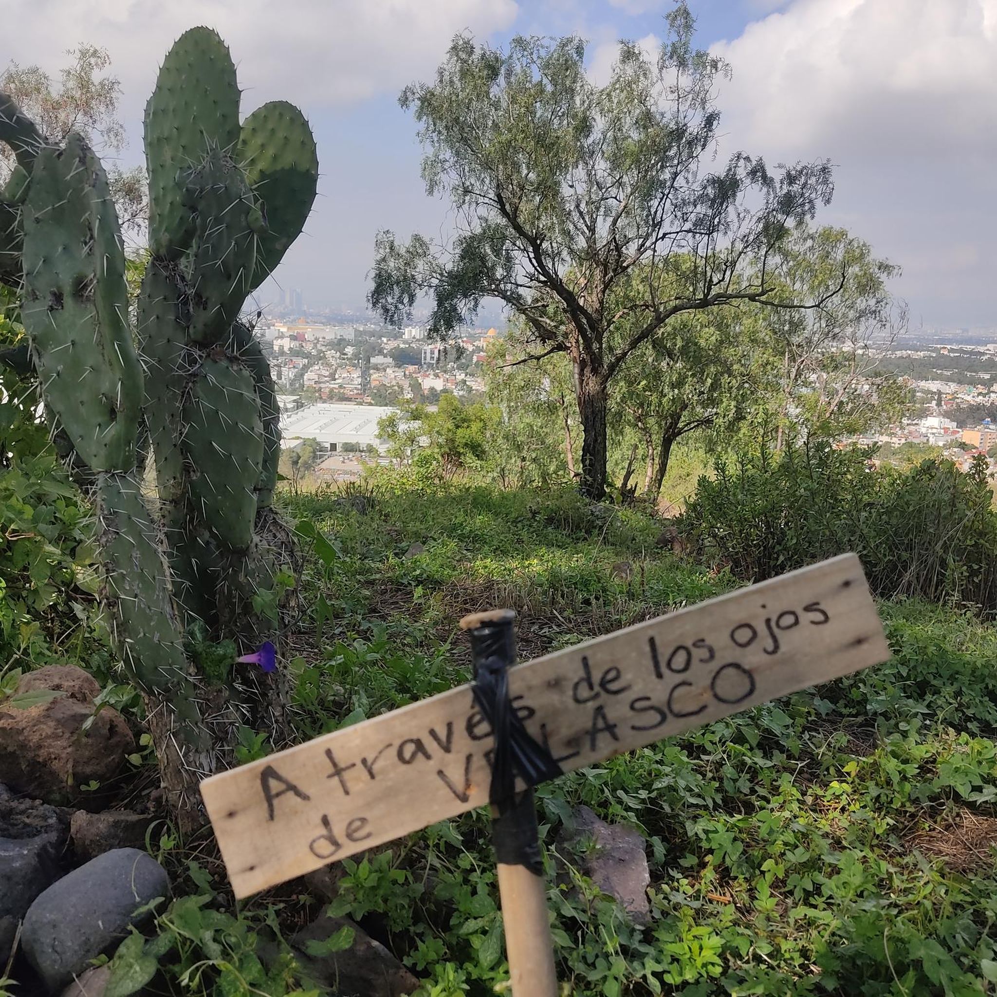
Hiking in Gustavo A. Madero, a borough in northern Mexico City, offers a mix of urban green spaces and access to more challenging outdoor pursuits. The area features significant natural elements like Parque Nacional El Tepeyac and Cerro del Tepeyac, providing opportunities for exploration and light hiking. While the borough itself has accessible paths, its location allows for convenient access to a wider array of trails in surrounding natural areas of Mexico City. These include urban walks, park trails, and…
Last updated: July 1, 2026
5.0
(3)
39
hikers
9.76km
02:33
70m
70m
Moderate hike. Good fitness required. Easily-accessible paths. Suitable for all skill levels.
3.3
(16)
17
hikers
5.28km
01:20
10m
10m
Easy hike. Great for any fitness level. Easily-accessible paths. Suitable for all skill levels.

Sign up for free
23
hikers
7.68km
01:59
40m
40m
Easy hike. Great for any fitness level. Easily-accessible paths. Suitable for all skill levels.
5.0
(1)
22
hikers
10.7km
02:44
40m
40m
Moderate hike. Good fitness required. Easily-accessible paths. Suitable for all skill levels.
4.8
(5)
11
hikers
11.7km
04:09
690m
690m
Moderate hike. Good fitness required. Easily-accessible paths. Suitable for all skill levels.
8
hikers
24.4km
06:16
100m
100m
Hard hike. Very good fitness required. Easily-accessible paths. Suitable for all skill levels.
5.0
(2)
2
hikers
11.8km
04:31
820m
810m
Moderate hike. Good fitness required. Easily-accessible paths. Suitable for all skill levels.
5.0
(1)
3
hikers
4.15km
01:19
150m
150m
Easy hike. Great for any fitness level. Easily-accessible paths. Suitable for all skill levels.
3.0
(1)
5
hikers
Moderate hike. Good fitness required. Easily-accessible paths. Suitable for all skill levels.
Get access to more routes and recommendations from other explorers.
Sign up for free
Already have an account?
Our route recommendations are based on thousands of hikes, rides, and runs completed by other people on komoot.
Start today with a free account
Your next adventure awaits.
Login or Signup

Tips from the Community

It's one of Mexico City's most important green spaces. Its paths, lakes, and museums invite you to stroll at a leisurely pace, discover vibrant corners, and enjoy a respite in the heart of the city.
0
0

One of the most beautiful green spaces in Mexico City, it is particularly worth visiting, especially in springtime when everything is in bloom.
0
0

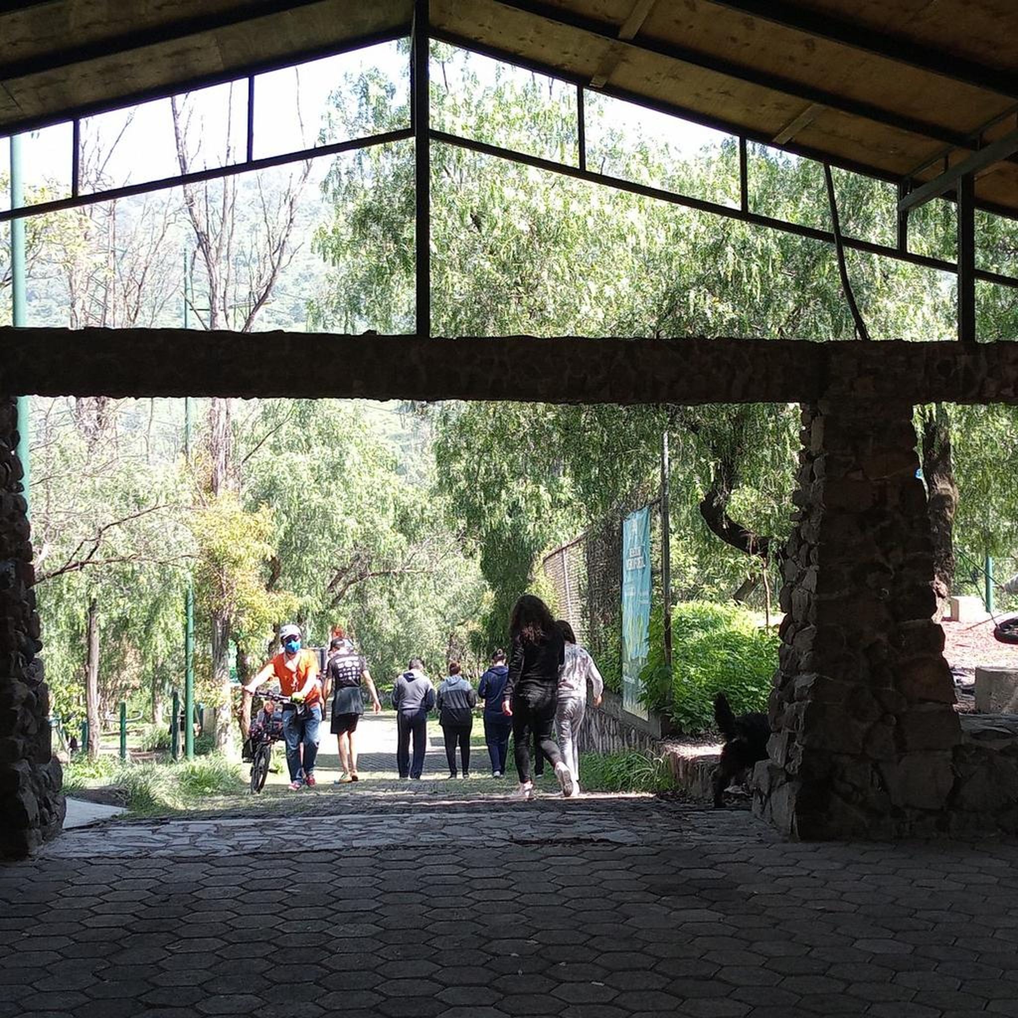
The San Juan de Aragón Forest in Mexico City is one of the city's main green spaces, boasting expansive green areas, a lake, an open-air theater, and sports facilities. Inaugurated in 1964, it combines natural spaces with cultural and recreational activities, and is home to over 100 species of birds, as well as squirrels and butterflies. Its 5-kilometer circuit is ideal for running or walking among eucalyptus and casuarina trees, and it offers amenities and security, making it a perfect place to spend the day enjoying nature within the city.
0
0

beginning of the Camino Tierra Adentro
0
0

This is a very pretty square, although it is now neglected and the area is somewhat unsafe. Nevertheless, it is worth visiting. You will find the fountain dedicated to Josefa Ortiz de Dominguez (known as "La Corregidora") and several buildings of historical and cultural interest nearby.
0
0

historic building, it's a sambors at least a coffee with warm bread
0
0
Since they are around there, we must go in,
0
0
Frequently Asked Questions
How many hiking trails are available in Gustavo A. Madero?
Gustavo A. Madero offers a wide selection of routes, with over 60 hiking trails available. These range from easy urban walks to more challenging paths accessible from the borough.
What kind of terrain can I expect on hikes in Gustavo A. Madero?
Hikes in Gustavo A. Madero feature a mix of urban green spaces, accessible parks, and hills that provide city viewpoints. While many routes are relatively flat, some offer up to 1,000 feet of elevation gain within the borough. For more challenging terrain, trails with up to 3,000 feet of elevation gain are accessible in the broader Mexico City area.
Are there easy hiking trails suitable for beginners in Gustavo A. Madero?
Yes, Gustavo A. Madero has plenty of options for beginners, with over 40 easy trails. An excellent example is Vuelta por el Bosque de San Juan de Aragón en México, an easy 3.3-mile path through a large urban forest.
Are there challenging hikes near Gustavo A. Madero for experienced hikers?
While Gustavo A. Madero itself offers accessible paths, its location provides convenient access to more challenging trails in surrounding natural areas of Mexico City. These can involve significant elevation gains and require good fitness, such as the Ajusco Summit Trails or routes leading to the Iztaccíhuatl volcano.
What are some notable landmarks or natural features to explore while hiking?
Gustavo A. Madero is home to significant natural features like Parque Nacional El Tepeyac and Cerro del Tepeyac, which offer opportunities for exploration and light hiking with viewpoints. The Bosque de San Juan de Aragón is another large area for outdoor activities. For a unique perspective, the Cablebús Line 1 offers panoramic views of the city.
Are there any circular hiking routes in Gustavo A. Madero?
Yes, there are several circular routes available. For instance, the Palace of Fine Arts – Casa de los Azulejos loop from Lagunilla is a 6.6-mile trail leading through historical city landmarks. Another option is the Viewpoint loop from Explanada Xolo, which is an easy 2.6-mile loop.
What do other hikers enjoy most about the trails in Gustavo A. Madero?
The trails in Gustavo A. Madero are highly rated by the komoot community, with an average score of 4.6 stars from over 40 reviews. Hikers often praise the accessibility of green spaces within the urban environment and the variety of routes available, from leisurely park walks to more engaging urban explorations.
Is public transport available to reach hiking trails in Gustavo A. Madero?
Yes, Gustavo A. Madero is well-integrated into Mexico City's public transport network. Many parks and urban trails, such as those in Bosque de San Juan de Aragón, are accessible via public transport. The Cablebús Line 1 also provides a unique way to access certain areas and enjoy scenic views.
Are there any family-friendly hiking options in the area?
Absolutely. Many of the accessible paths and urban green spaces in Gustavo A. Madero are suitable for families. Parks like Parque Nacional El Tepeyac and Bosque de San Juan de Aragón offer open spaces and easy walks perfect for all ages.
What is the best time of year to go hiking in Gustavo A. Madero?
Mexico City generally enjoys a temperate climate. The dry season, from November to April, typically offers pleasant weather for hiking with less chance of rain. However, even during the rainy season (May to October), mornings are often clear, making it possible to enjoy the trails.
Are there any dog-friendly hiking trails in Gustavo A. Madero?
Many of the urban parks and green spaces in Gustavo A. Madero, such as Bosque de San Juan de Aragón, are popular spots for dog walking. It's always recommended to keep dogs on a leash and check specific park regulations regarding pets.
Do I need a permit to hike in Gustavo A. Madero?
Generally, permits are not required for hiking on the accessible paths and in the urban parks within Gustavo A. Madero, such as Parque Nacional El Tepeyac or Bosque de San Juan de Aragón. For more remote or challenging trails outside the immediate borough, it's advisable to check specific regulations for those areas.
Most popular routes in Gustavo A. Madero

Get inspired with the komoot mobile app


Didn’t find what you were looking for?
Check out more Hikes throughout Gustavo A. Madero below and find the perfect route in your destination.
Explore more
Browse the best Hikes in other regions.
