The best road cycling routes in Benito Juárez
4.6
(223)
3,930
riders
13
rides
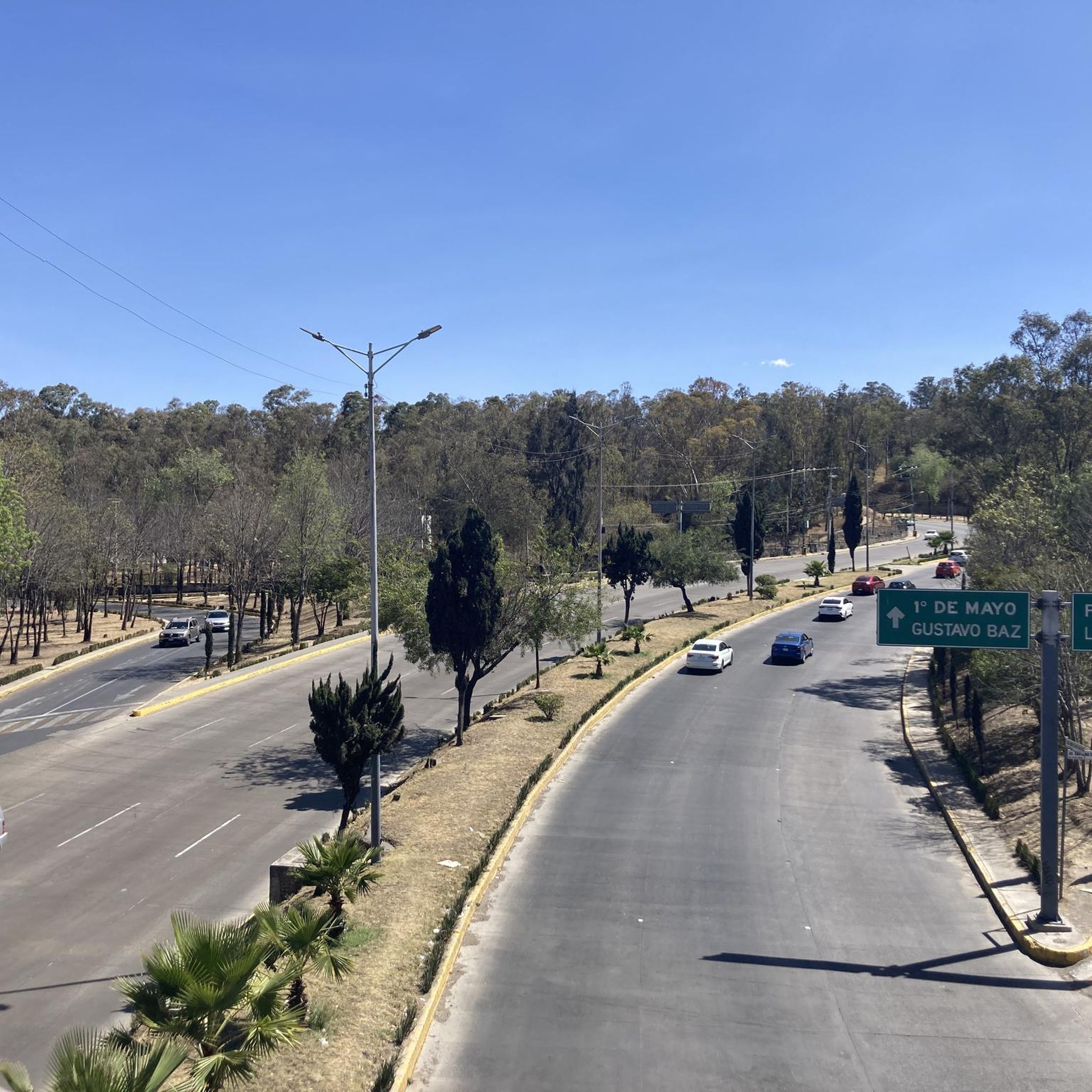
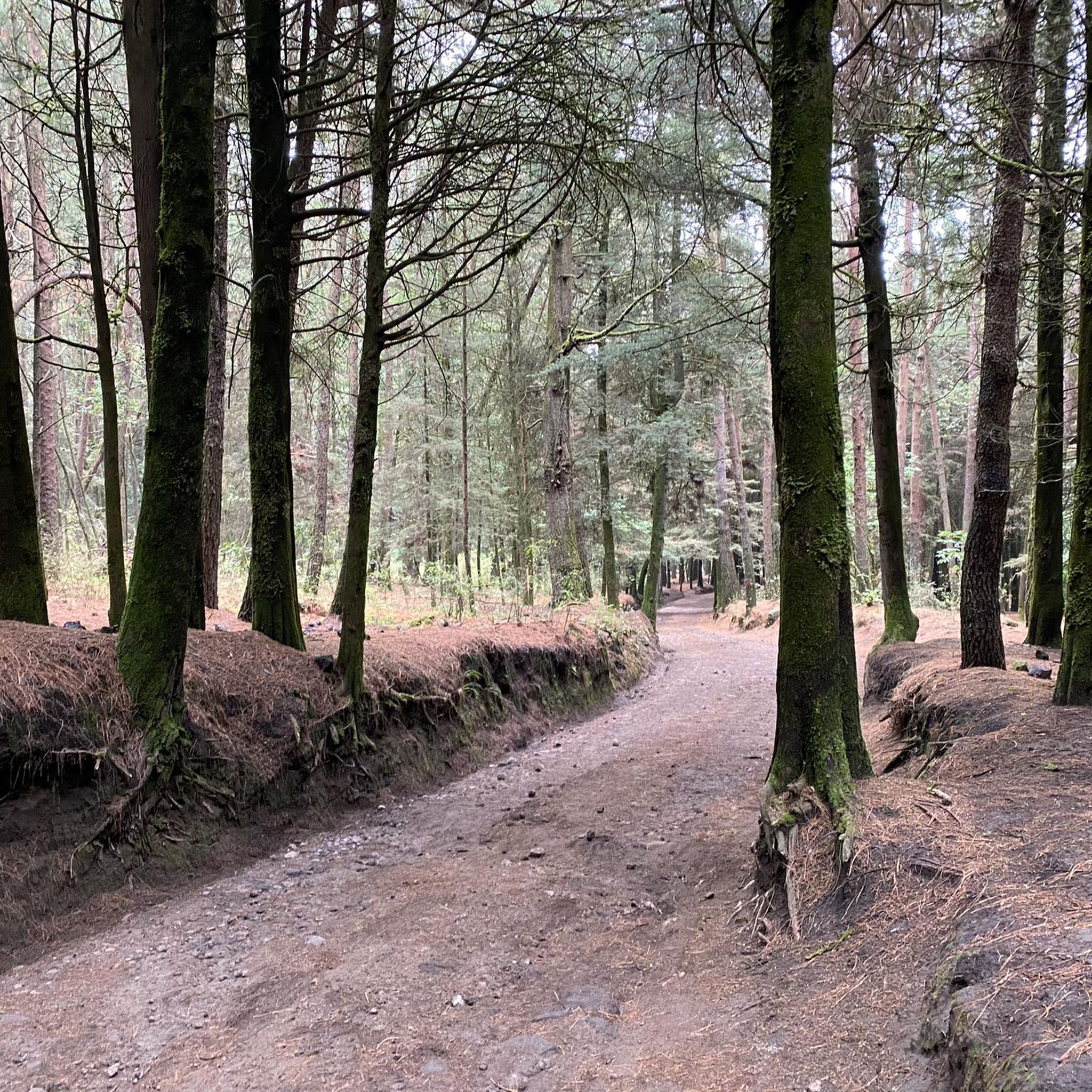
Road cycling routes in Benito Juárez, a borough within Mexico City, offer a mix of urban and peri-urban experiences. The area features well-paved, tree-lined avenues suitable for varied fitness levels. Cyclists can access routes that extend into surrounding regions, providing significant elevation gains and challenging climbs. The terrain transitions from urban settings to more natural landscapes, including areas like Desierto de los Leones.
Best road cycling routes in Benito Juárez
- The most popular road cycling route is Tree-Lined Road in…
Last updated: July 2, 2026
5.0
(18)
429
riders
91.5km
04:31
1,370m
1,370m
Hard road ride. Very good fitness required. Mostly well-paved surfaces and easy to ride.
4.7
(12)
227
riders
Hard road ride. Very good fitness required. Mostly well-paved surfaces and easy to ride.

Sign up for free
5.0
(1)
113
riders
Easy road ride. Great for any fitness level. Mostly well-paved surfaces and easy to ride.
4.2
(11)
167
riders
Moderate road ride. Good fitness required. Mostly well-paved surfaces and easy to ride.
4.7
(6)
134
riders
113km
05:41
1,720m
1,720m
Hard road ride. Very good fitness required. Mostly well-paved surfaces and easy to ride.
49
riders
135km
06:57
2,210m
2,210m
Hard road ride. Very good fitness required. Mostly well-paved surfaces and easy to ride.
4.2
(6)
22
riders
Easy road ride. Great for any fitness level. Mostly well-paved surfaces and easy to ride.
5.0
(1)
23
riders
68.4km
03:32
720m
720m
Moderate road ride. Good fitness required. Mostly well-paved surfaces and easy to ride.
19
riders
29.8km
01:13
40m
40m
Easy road ride. Great for any fitness level. Mostly well-paved surfaces and easy to ride.
9
riders
Hard road ride. Very good fitness required. Mostly well-paved surfaces and easy to ride.
Get access to more routes and recommendations from other explorers.
Sign up for free
Already have an account?
Our route recommendations are based on thousands of hikes, rides, and runs completed by other people on komoot.
Start today with a free account
Your next adventure awaits.
Login or Signup
Popular around Benito Juárez

Tips from the Community

The Hermanos Rodríguez racetrack is a historic monument to motorsports that still stands in Mexico City. It is located in the Magdalena Mixhuca Sports Complex and is surrounded by a wide variety of facilities. It is popular with the city's cyclists.
0
0

This is a spectacular bronze statue representing the Roman goddess of the hunt. It was unveiled in 1942.
0
0
This is one of the city's most iconic landmarks. The column and statue together reach almost 50 meters in height. It symbolizes the freedom of the Mexican people from Spanish rule.
0
0

Beside the road stands a small image of Our Lady of Guadalupe, watched over with devotion by passersby. Many people stop for a few minutes to leave flowers, candles, or other offerings, giving thanks for favors received or asking for protection on their journey. It's a simple spot, but full of faith and meaning.
0
0

It's a pleasant route and suitable for all cyclists...
0
0

Excellent vibe, very good rides and the food is quite delicious. Don't forget to try the sweet and savory toust.
0
0

Learning a little: the iconographic origin of "Saint Death," observed in esoteric shops, businesses, and family altars, is Jewish-Christian; this has nothing to do with the pre-Hispanic designs found in archaeological contexts or codices. Her current representation is the result of an interesting blend of ancient idiosyncrasies and modern definitions of faith; she is depicted as a human skeleton dressed in a tunic and cloak, thus expressing purity. She wears a halo over her skull, revealing her as a divine personality. In her right hand, she displays a scale, a symbol of justice, and a scythe, an emblem of time as well as the cessation of life. In her left hand, she holds the globe, which signifies the fragility of the world and is sometimes accompanied by an owl, an emblem of carnal appetite and heretical doctrines, as well as being synonymous with death. She may be standing or sitting, wearing or not wearing these attributes, and even accompanied by a dying person. The contemporary cult is of dubious origin: it is said to have appeared in Hidalgo in 1965. It is said that it was brought by the Cuban Santeria cult. Santa Muerte is said to have appeared to a shaman from Córdoba, Veracruz, whom she asked to spread her cult to help humanity. However, there are antecedents of this cult dating back to the Colonial period. If you'd like to read: https://revistas.inah.gob.mx/index.php/antropologia/issue/view/360/320
1
0
Seeing this "little house" means the tough climb is over! Whether you're heading to Tres Marías or Parres, there's no refreshment station here, just space to stop and rest or return safely because the space between the forest and the asphalt is wide. Located on the side of the road, you'll see this structure in the distance, where they worship Santa Muerte. Asking the locals, they say some motorcyclists bring her flowers and light candles.
3
0
Frequently Asked Questions
What kind of terrain can I expect on road cycling routes in Benito Juárez?
Road cycling in the Benito Juárez borough of Mexico City offers a diverse experience. You'll find pleasant cycling along tree-lined avenues within the urban area, suitable for peaceful rides. However, many routes extend into surrounding natural landscapes, featuring significant elevation gains and challenging climbs, particularly towards areas like Desierto de los Leones, Ajusco, and Tepotzotlán. The terrain transitions from well-paved city roads to more rugged, high-country ascents.
Are there any easy road cycling routes suitable for beginners or casual riders?
Yes, Benito Juárez offers several easier options. For a route great for all fitness levels, consider the Rutas Café Ciclista – Angel of Independence loop from Etiopía/Plaza de la Transparencia, which is 14.0 miles (22.5 km) and leads through city avenues. Another easy option is the Centro SCOP – Autódromo Hermanos Rodríguez loop from Parque de los Venados, which is 28.8 km and features minimal elevation gain.
Where can I find challenging road cycling routes for experienced riders?
Experienced cyclists seeking a challenge will find plenty of options. The Tree-Lined Road in Mexico – View of Pico del Águila loop from Nativitas is a difficult 56.8 miles (91.4 km) trail with substantial elevation gain. Another demanding route is the Coyoacán – Tree-Lined Road in Mexico loop from Etiopía/Plaza de la Transparencia, covering 112.5 km with over 1,700 meters of ascent. These routes often venture into the more mountainous areas surrounding the city.
What kind of landmarks or points of interest can I see along the routes?
While cycling in Benito Juárez, you can encounter a mix of urban and natural points of interest. Routes like the Petroleum Fountain – Calzada Flotante Chapultepec loop pass through urban green spaces and near significant city monuments. For cultural and historical sights, consider exploring highlights such as the Parish of the Most Pure Heart of Mary or the Leon Trotsky House Museum, which are accessible from various points in the borough.
Are there any circular road cycling routes available?
Yes, most of the road cycling routes in Benito Juárez are designed as loops, offering a convenient way to start and end your ride at the same point. Examples include the Cuarto Dínamo Ruins – 4th Dinamo Viewpoint loop from San Pedro de los Pinos and the Estación Contreras Museum – View of Mexico City loop from Nativitas. These circular routes allow you to experience diverse landscapes without retracing your path.
What do other road cyclists enjoy most about cycling in Benito Juárez?
The road cycling routes in Benito Juárez are highly rated by the komoot community, with an average score of 4.5 stars from over 70 reviews. Cyclists often praise the variety of experiences, from the peaceful tree-lined avenues within the city to the challenging climbs and scenic views found in the surrounding natural areas like Desierto de los Leones. The accessibility to both urban and peri-urban routes is a significant draw.
Are there options for longer road cycling tours in the area?
Yes, for those looking for longer rides, Benito Juárez serves as a starting point for extensive routes. The Calzada Flotante Chapultepec – Petroleum Fountain loop from Nativitas is a substantial 134.6 km route, offering a full day's ride with significant elevation. Another long option is the Desierto de los Leones Viewpoint – Petroleum Fountain loop from División del Norte, which spans 96.6 km.
What is the best time of year for road cycling in Benito Juárez?
The climate in Mexico City, where Benito Juárez is located, is generally mild year-round. However, the dry season from November to April typically offers the most pleasant conditions for road cycling, with less rain and comfortable temperatures. The rainy season, from May to October, can bring afternoon showers, which might affect road conditions, especially on routes extending into natural areas.
Are there places to stop for refreshments or coffee along the routes?
Given its urban setting, many routes in Benito Juárez pass through areas with access to cafes and other establishments. For example, the Rutas Café Ciclista – Angel of Independence loop explicitly mentions a cafe in its name, indicating cycling-friendly stops. You can also find various cafes like Mandrake Café and pubs like Pulquería La Paloma Azul within the borough, especially near popular cycling paths and urban centers.
How can I access the starting points of these road cycling routes?
Many routes in Benito Juárez start from easily accessible points within the borough or nearby, such as Nativitas, Etiopía/Plaza de la Transparencia, San Pedro de los Pinos, or Parque de los Venados. These locations are generally well-served by Mexico City's public transport network, including the metro and bus systems. Parking availability can vary, but urban areas typically have paid parking options. It's advisable to check specific starting points for the best access methods.
Are there any road cycling routes that offer views of Pico del Águila?
Yes, the Tree-Lined Road in Mexico – View of Pico del Águila loop from Nativitas is specifically highlighted for offering views of Pico del Águila. This route is a challenging ride that takes you through varied landscapes, providing rewarding vistas of this prominent feature.
Most popular routes in Benito Juárez
Most popular attractions in Benito Juárez

Get inspired with the komoot mobile app


Explore more
Browse the best Road cycling routes in other regions.
