The best road cycling routes in Totonicapán
5.0
(39)
90
riders
7
rides
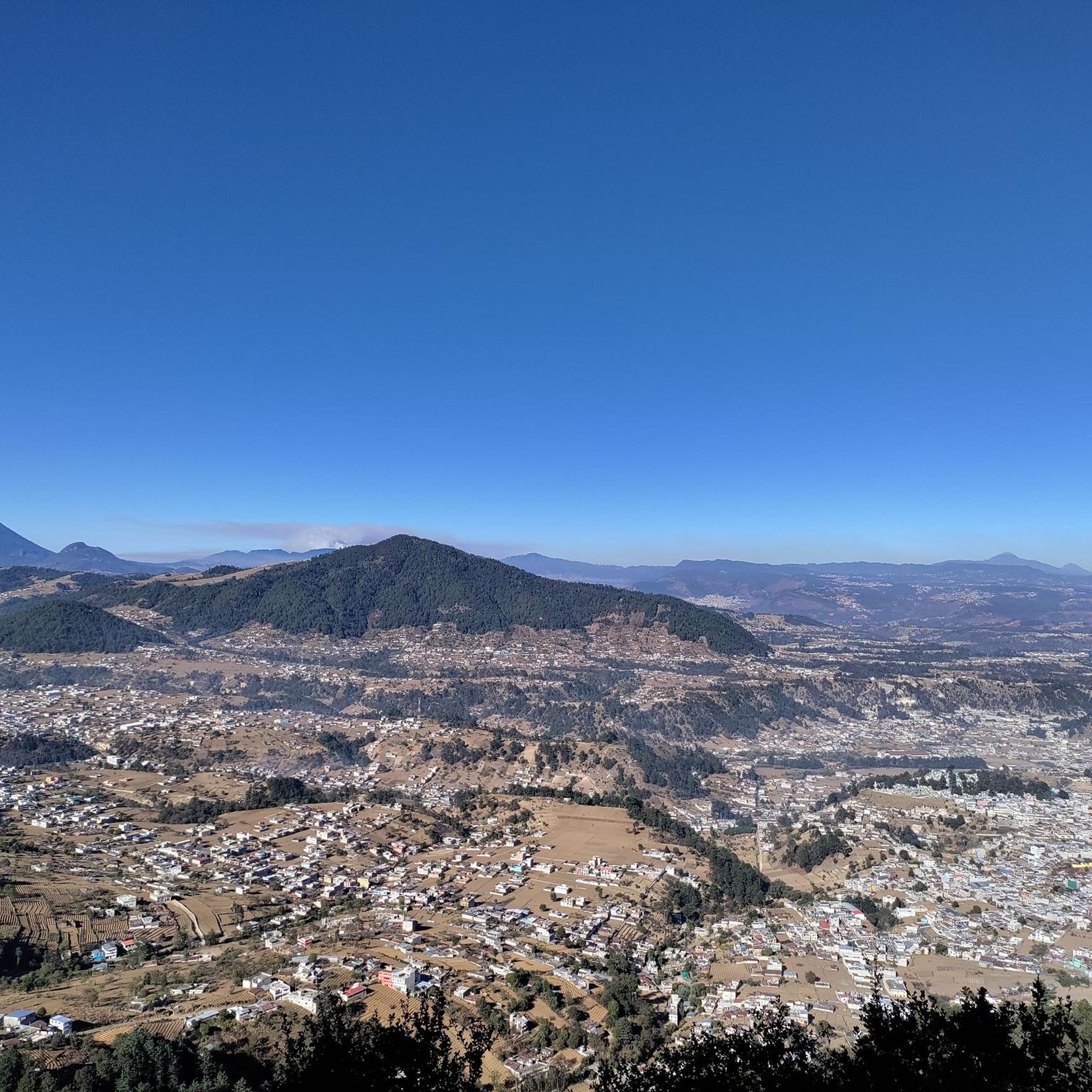
Road cycling routes in Totonicapán are characterized by significant elevation changes and mountainous terrain, offering challenging climbs and rewarding viewpoints. The region's landscape features prominent viewpoints such as Mirador El Carmen and Rudolf Walther Viewpoint, which are central to many routes. Road cyclists can expect varied gradients and extended ascents across the area. The topography of Totonicapán provides a demanding environment for road cycling, with routes often leading to high elevations.
Best road cycling routes in Totonicapán
- The most popular road cycling route is Mirador El Carmen – Rudolf Walther Viewpoint loop from Pahaj, a 73.5 miles (118.4 km) trail that takes 7 hours 5 minutes to complete. This difficult route features substantial elevation gain, leading to prominent viewpoints.
- Another top favourite among local road cyclists is Rudolf Walther Viewpoint loop from Zunil, a difficult 44.0 miles (70.9 km) path. This route includes considerable climbing through the region's elevated landscape.
- Local road cyclists also love the Rudolf Walther Viewpoint loop from Quetzaltenango, a 32.0 miles (51.5 km) trail leading through mountainous terrain, often completed in about 2 hours 51 minutes.
- Road cycling in Totonicapán is defined by challenging climbs, high-altitude viewpoints, and varied gradients. The network offers options for various ability levels, though most routes are difficult.
- The routes in Totonicapán are highly rated by the komoot community with an average score of 5.0 stars from over 30 reviews. More than 80 road cyclists have used komoot to explore Totonicapán's varied terrain.
Last updated: July 5, 2026
5.0
(4)
23
riders
118km
07:05
2,850m
2,840m
Hard road ride. Very good fitness required. Some segments of this route may be unpaved and difficult to ride.
5.0
(21)
25
riders
70.9km
03:44
1,060m
1,060m
Hard road ride. Very good fitness required. Mostly well-paved surfaces and easy to ride.

Sign up for free
5.0
(7)
15
riders
51.6km
02:51
910m
910m
Hard road ride. Very good fitness required. Mostly well-paved surfaces and easy to ride.
5.0
(4)
12
riders
116km
06:52
2,540m
2,540m
Hard road ride. Very good fitness required. Some segments of this route may be unpaved and difficult to ride.
7
riders
52.4km
02:59
1,060m
1,060m
Hard road ride. Very good fitness required. Some segments of this route may be unpaved and difficult to ride.
5.0
(2)
2
riders
63.5km
03:39
1,380m
1,380m
Hard road ride. Very good fitness required. Mostly well-paved surfaces and easy to ride.
Our route recommendations are based on thousands of hikes, rides, and runs completed by other people on komoot.
Start today with a free account
Your next adventure awaits.
Login or Signup
Popular around Totonicapán

Frequently Asked Questions
How many road cycling routes are available in Totonicapán?
Totonicapán offers a selection of 7 road cycling routes, primarily characterized by significant elevation changes and mountainous terrain. Most of these routes are considered difficult, providing a challenging experience for cyclists.
How challenging are road cycling routes in Totonicapán?
Road cycling in Totonicapán is generally quite challenging. The region's mountainous topography means most routes feature substantial elevation gains and varied gradients, making them suitable for experienced cyclists. Out of the 7 available routes, 6 are classified as difficult.
Are there any beginner-friendly road cycling routes in Totonicapán?
While most routes in Totonicapán are difficult, there is at least one route classified as easy. However, given the region's overall mountainous character, even 'easy' routes may still involve some climbing. It's always recommended to check the route details for specific elevation profiles before heading out.
What kind of distances and elevation gains can I expect on road cycling routes in Totonicapán?
Routes in Totonicapán vary significantly in length and elevation. For example, the Mirador El Carmen – Rudolf Walther Viewpoint loop from Pahaj covers 73.5 miles (118.4 km) with over 2,800 meters of elevation gain, while the Rudolf Walther Viewpoint loop from Quetzaltenango is 32.0 miles (51.5 km) with over 900 meters of climbing. Expect demanding rides with considerable ascents.
Are most road cycling routes in Totonicapán circular?
Yes, many of the prominent road cycling routes in Totonicapán are designed as loops. Examples include the Mirador El Carmen – Rudolf Walther Viewpoint loop from Pahaj, the Rudolf Walther Viewpoint loop from Zunil, and the Cumbre de Olintepeque loop from Quetzaltenango, allowing you to start and finish at the same point.
What makes road cycling in Totonicapán unique?
Road cycling in Totonicapán is defined by its challenging climbs, high-altitude viewpoints, and varied gradients across mountainous terrain. The region offers rewarding views, such as those from Mirador El Carmen and Rudolf Walther Viewpoint, making for a demanding yet scenic experience.
What do other road cyclists say about the routes in Totonicapán?
The road cycling routes in Totonicapán are highly rated by the komoot community, with an average score of 5.0 stars from over 30 reviews. Cyclists often praise the challenging nature of the climbs and the rewarding panoramic views from the high-altitude viewpoints.
Are there scenic viewpoints along the road cycling routes in Totonicapán?
Absolutely. The routes in Totonicapán are known for leading to prominent viewpoints such as Mirador El Carmen and Rudolf Walther Viewpoint. These locations offer breathtaking panoramic vistas, providing excellent spots to rest and enjoy the scenery after a challenging climb.
What is the best time of year for road cycling in Totonicapán?
Given the mountainous terrain and high elevations, the dry season (typically November to April) is generally the most favorable for road cycling in Totonicapán, offering clearer skies and more stable weather conditions. However, always check local forecasts before your ride.
What weather conditions should I prepare for when road cycling in Totonicapán?
Due to the high altitude and mountainous environment, weather in Totonicapán can be variable. Be prepared for cooler temperatures, especially at higher elevations or during descents, and potential for sudden changes. Layered clothing is advisable, and always carry rain gear, even during the dry season.
Is parking available near road cycling routes in Totonicapán?
While specific parking information for each route start point is not detailed, routes often begin from towns like Quetzaltenango or Zunil, where public parking options may be available. It's recommended to research parking facilities in your chosen starting town prior to your ride.
Are there family-friendly road cycling options in Totonicapán?
Given that most road cycling routes in Totonicapán are classified as difficult due to significant elevation changes and challenging terrain, they are generally not considered suitable for young children or casual family rides. These routes are better suited for experienced adult cyclists.
Most popular routes in Totonicapán

Get inspired with the komoot mobile app


Explore more
Browse the best Road cycling routes in other regions.
