The best walks and hikes in Lago De Atitlan
4.3
(220)
1,613
hikers
23
hikes
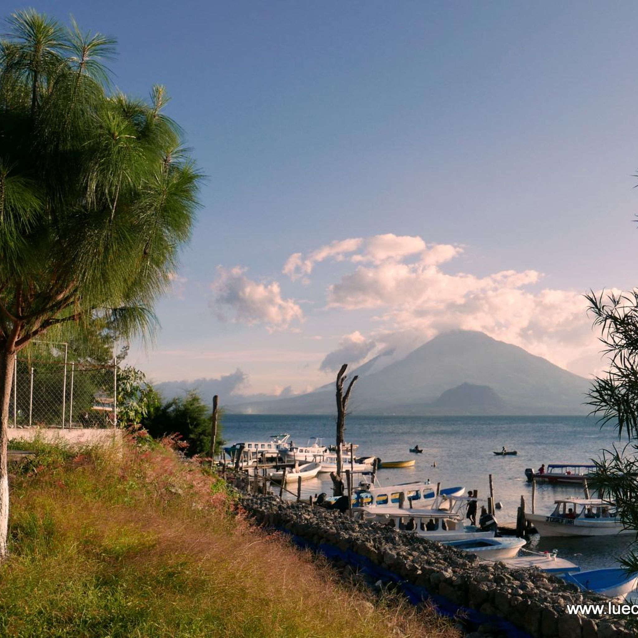
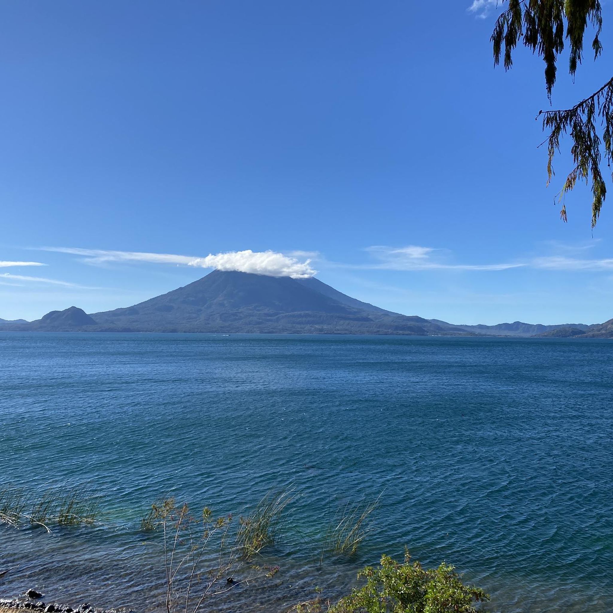
Hiking in Lago De Atitlan offers diverse trails set within a dramatic volcanic caldera, recognized as the deepest in Central America. The region is characterized by its impressive elevation of 1,500 meters above sea level, framed by three majestic volcanoes: San Pedro, Tolimán, and Atitlán. Hikers can explore dense cloud forests, ancient Mayan footpaths connecting indigenous villages, and fertile volcanic landscapes supporting coffee farms and varied flora.
Best hiking trails in Lago De Atitlan
- The most popular hiking route is San Pedro Volcano Trail – Summit of Volcán San Pedro loop from Sololá, a 7.1 miles (11.4 km) trail that takes 6 hours 54 minutes to complete. This challenging ascent leads through avocado and coffee farms into dense cloud forests.
- Another top favourite among local hikers is Cafe Tzunún loop from San Marcos La Laguna, a moderate 7.7 miles (12.4 km) path. This route offers views of the lake and surrounding villages, passing through local landscapes.
- Local hikers also love the San Marcos La Laguna – Tzununá on Lake Atitlán loop from San Marcos La Laguna, a 9.4 miles (15.1 km) trail leading through lakeside villages and natural scenery, often completed in about 4 hours 13 minutes.
- Hiking in Lago De Atitlan is defined by volcanic peaks, cloud forests, and ancient Mayan footpaths. The network offers options for different ability levels, from easy village-to-village walks to challenging volcano ascents.
- The routes in Lago De Atitlan are highly rated by the komoot community with an average score of 4.4 stars from more than 180 reviews. More than 1300 hikers have used komoot to explore Lago De Atitlan's varied terrain.
Last updated: July 1, 2026
4.8
(49)
335
hikers
11.3km
06:53
1,340m
1,340m
Hard hike. Very good fitness required. Mostly accessible paths. Sure-footedness required.
4.4
(39)
243
hikers
12.0km
03:29
300m
300m
Moderate hike. Good fitness required. Easily-accessible paths. Suitable for all skill levels.

Sign up for free
4.4
(36)
202
hikers
Moderate hike. Good fitness required. Easily-accessible paths. Suitable for all skill levels.
4.5
(17)
64
hikers
8.55km
03:26
630m
630m
Moderate hike. Good fitness required. Easily-accessible paths. Suitable for all skill levels.
4.3
(16)
109
hikers
Hard hike. Very good fitness required. Easily-accessible paths. Suitable for all skill levels.
4.2
(6)
48
hikers
6.81km
03:03
630m
630m
Moderate hike. Good fitness required. Easily-accessible paths. Suitable for all skill levels.
3.6
(8)
38
hikers
12.8km
04:25
610m
610m
Moderate hike. Good fitness required. Easily-accessible paths. Suitable for all skill levels.
4.5
(2)
27
hikers
3.94km
01:10
110m
110m
Easy hike. Great for any fitness level. Easily-accessible paths. Suitable for all skill levels.
4.2
(5)
12
hikers
Moderate hike. Good fitness required. Easily-accessible paths. Suitable for all skill levels.
4.5
(4)
32
hikers
7.83km
02:17
210m
200m
Moderate hike. Good fitness required. Easily-accessible paths. Suitable for all skill levels.
Get access to more routes and recommendations from other explorers.
Sign up for free
Already have an account?
Our route recommendations are based on thousands of hikes, rides, and runs completed by other people on komoot.
Start today with a free account
Your next adventure awaits.
Login or Signup
Popular around Lago De Atitlan
Tips from the Community

Great View and an Avocado Farm near by
0
0

A nice little café run by locals with very good, fresh burritos, smoothies, and coffee. Allow a little time, as everything is freshly prepared.
0
0

Currently the view is a bit overgrown, but nice.
0
0

if you make it up this high a swing is waiting for you
1
0

Watch out for farm dogs! Take a stick from near the rectangular reservoir at the start of the farm land or increase distance by descending via the trail to the road to Santa Clara and routing around the farm on the road. You can rejoin the trail on the other side of the farm. The farm owners/workers will call the dogs back but they will run up to you barking and snarling. We waved them off with our sticks, which was at the recommendation of a worker we ran into once we reached the edge of the farm land.
0
0

Catholic Church of San Juan de la Laguna, Lake Atitlan, Guatemala
0
0
Main street with shops and restaurants in San Juan de la a Laguna Lake Atitlan Guatemala
0
0
Frequently Asked Questions
How many hiking trails are available in Lago De Atitlan?
Lago De Atitlan offers a wide variety of hiking experiences, with over 20 routes documented on komoot. These range from easy strolls to challenging volcano ascents, ensuring options for different fitness levels.
What do other hikers enjoy most about hiking in Lago De Atitlan?
The hiking trails in Lago De Atitlan are highly rated by the komoot community, with an average score of 4.4 stars from over 180 reviews. Hikers frequently praise the dramatic volcanic landscapes, the serene lake views, and the unique cultural immersion offered by village-to-village trails.
What are the different difficulty levels of hikes in Lago De Atitlan?
The region caters to various abilities, featuring 9 easy routes perfect for a leisurely walk, 12 moderate trails for those seeking a bit more challenge, and 2 difficult ascents for experienced hikers looking for a rigorous adventure.
Are there hikes that feature waterfalls or nature reserves in Lago De Atitlan?
Yes, the Atitlán Nature Reserve near Panajachel offers lush trails with waterfalls and hanging bridges. Another option is the Cerro Tzankujil Nature Reserve in San Marcos La Laguna, which provides trails through tropical forests and opportunities for cliff jumping into the lake.
Can I find trails that offer views of the volcanoes in Lago De Atitlan?
Absolutely. Many trails provide stunning views of the three majestic volcanoes—San Pedro, Tolimán, and Atitlán—that frame the lake. For example, the Cerro Kaqasiiwaan Viewpoint – View of Lake Atitlán loop from Sololá offers excellent panoramic vistas. The challenging ascent of San Pedro Volcano also provides expansive, unrestricted views from its summit.
What kind of wildlife can I expect to see on the trails?
Lago De Atitlan's diverse ecosystems are home to various wildlife. The Atitlán Nature Reserve is a haven for rescued spider monkeys, coatís, and numerous bird species. The dense cloud forests are also known to host a wide array of flora and fauna, including the revered Resplendent Quetzal.
Are there family-friendly hiking options in Lago De Atitlan?
Yes, there are several easy routes suitable for families. These often include village-to-village walks or trails within nature reserves, offering gentle terrain and opportunities to observe local culture and nature. For example, the Hiking loop from Santa Cruz La Laguna is an easy option.
Are there circular hiking routes available in Lago De Atitlan?
Yes, many routes in Lago De Atitlan are designed as loops, allowing you to start and end in the same location. Examples include the Cafe Tzunún loop from San Marcos La Laguna and the San Marcos La Laguna – Tzununá on Lake Atitlán loop from San Marcos La Laguna.
What is the best time of year to go hiking in Lago De Atitlan?
The dry season, typically from November to April, is generally considered the best time for hiking in Lago De Atitlan. During these months, you can expect clearer skies, less rain, and more comfortable temperatures, making for ideal trail conditions and unobstructed views.
Do I need permits or guides for hiking in Lago De Atitlan?
For some of the more challenging volcano ascents, such as San Pedro Volcano or Indian Nose, it is highly recommended, and often required, to hire a local guide. These guides can help navigate the trails, ensure safety, and sometimes permits or entrance fees are collected by local communities at trailheads.
What are the options for public transport to trailheads around Lago De Atitlan?
Public transport around Lago De Atitlan primarily consists of 'lanchas' (small boats) that connect the various villages around the lake. These boats are a convenient way to reach different trailheads. Additionally, 'tuc-tucs' (auto rickshaws) and local buses operate within and between some of the larger towns.
Are there opportunities to experience local Mayan culture while hiking?
Definitely. The region is rich in indigenous Mayan culture. Many ancient Mayan footpaths connect the numerous villages dotted around the lake, offering a unique opportunity to immerse yourself in local life, explore vibrant markets, and observe traditional Mayan customs as you hike.
Most popular routes in Lago De Atitlan
Most popular attractions in Lago De Atitlan

Get inspired with the komoot mobile app


Didn’t find what you were looking for?
Check out more Hikes throughout Lago De Atitlan below and find the perfect route in your destination.
Explore more
Browse the best Hikes in other regions.
