The best running trails in Santiago Sacatepéquez
4.2
(15)
361
runners
25
runs
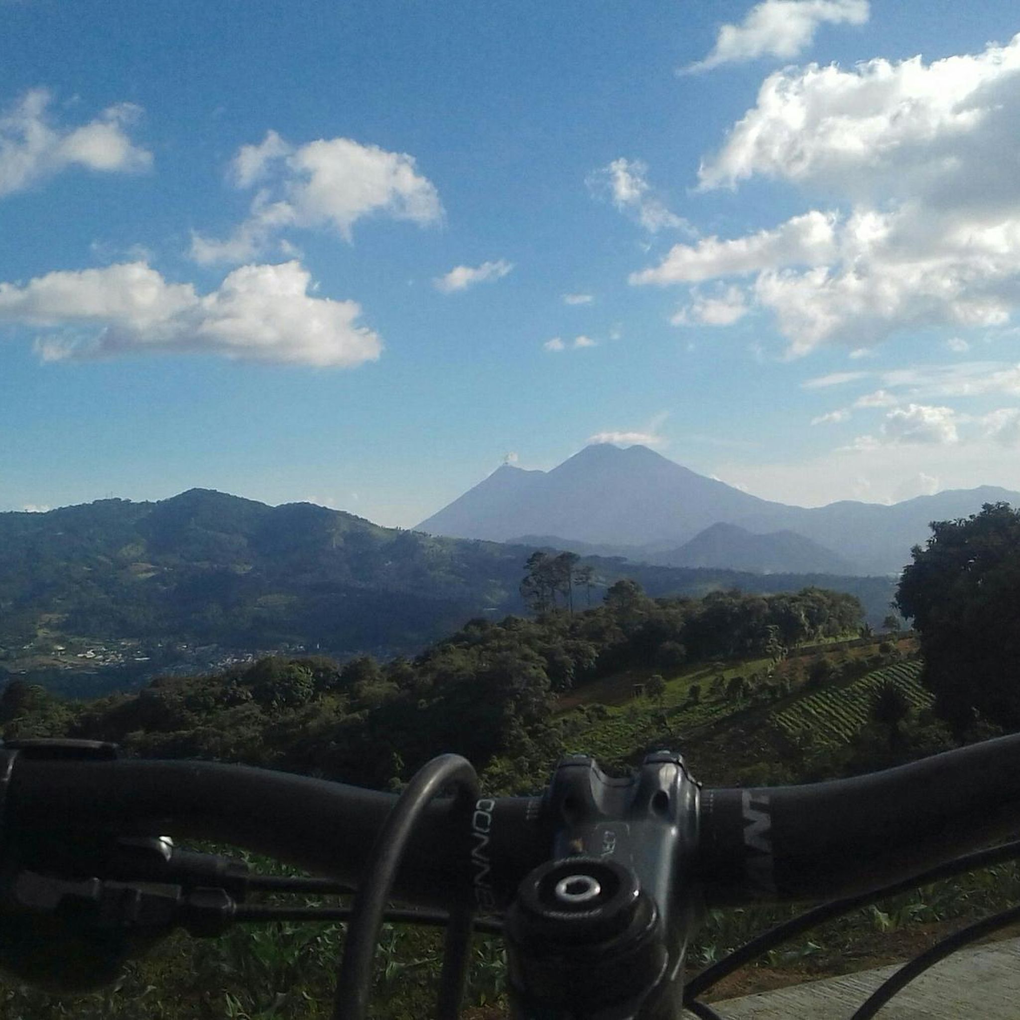
Jogging routes in Santiago Sacatepéquez traverse a landscape characterized by rolling hills and dramatic volcanic terrain, offering views of volcanoes Agua, Fuego, and Acatenango. The region sits at a high elevation, contributing to a refreshing atmosphere for outdoor activities. Its natural features include open grasslands and varied inclines, providing diverse running experiences. This high-altitude environment is ideal for runners seeking challenging and scenic routes.
Best jogging routes in Santiago Sacatepéquez
- The most popular jogging route is Running loop from Antigua…
Last updated: July 5, 2026
3.3
(3)
20
runners
5.40km
00:33
20m
20m
Moderate run. Good fitness required. Mostly paved surfaces. Suitable for all skill levels.
4.8
(4)
12
runners
6.69km
00:45
120m
120m
Moderate run. Good fitness required. Mostly paved surfaces. Suitable for all skill levels.

Sign up for free
20
runners
11.7km
01:12
40m
40m
Moderate run. Good fitness required. Mostly paved surfaces. Suitable for all skill levels.
9
runners
12.4km
01:29
330m
330m
Hard run. Very good fitness required. Mostly paved surfaces. Suitable for all skill levels.
8
runners
7.82km
00:55
170m
170m
Moderate run. Good fitness required. Mostly paved surfaces. Suitable for all skill levels.
3.0
(1)
2
runners
7.17km
00:45
20m
20m
Moderate run. Good fitness required. Mostly paved surfaces. Suitable for all skill levels.
19
runners
10.8km
01:07
70m
70m
Moderate run. Good fitness required. Mostly paved surfaces. Suitable for all skill levels.
Get access to more routes and recommendations from other explorers.
Sign up for free
Already have an account?
Our route recommendations are based on thousands of hikes, rides, and runs completed by other people on komoot.
Start today with a free account
Your next adventure awaits.
Login or Signup
Popular around Santiago Sacatepéquez



Tips from the Community

Right next to Plaza Central, a beautiful square with a park in the middle of the city
1
0
Located on the central square of Antigua in Guatemala. It serves as the headquarters of the Guatemalan Institute of Tourism, the Antigua Tourism Association, the National Police, and the Government of the Department of Sacatepquez. Wikipedia
2
0

The Palacio de los Capitanes Generales was the administrative headquarters of the Spanish colonial government. The building on the Parque Central was built in 1558, was damaged several times by earthquakes and is now a cultural center.
4
0

A wonderfully green park in the heart of the city. Sitting on one of the benches you can watch the hustle and bustle around you.
1
0
Frequently Asked Questions
How many running routes can I find in Santiago Sacatepéquez?
There are over 25 running routes available in Santiago Sacatepéquez, offering a variety of options for different skill levels and preferences. The komoot community has explored these trails over 280 times.
What is the typical terrain like for running in Santiago Sacatepéquez?
The terrain in Santiago Sacatepéquez is characterized by rolling hills and dramatic volcanic landscapes. You'll often encounter varied inclines and open grasslands, providing a refreshing and sometimes challenging experience. The region's high elevation also contributes to a unique atmosphere for outdoor activities.
Are there any easy running routes suitable for beginners?
While most routes in Santiago Sacatepéquez are rated as moderate or difficult, there are no routes specifically categorized as easy. However, many moderate routes can be adapted for beginners by adjusting pace and distance. For example, the Running loop from Antigua Guatemala is a moderate 3.4-mile (5.5 km) trail that offers a good introduction to the local area.
What kind of views or landmarks can I expect to see along the running trails?
Many running routes offer stunning views of the majestic volcanoes Agua, Fuego, and Acatenango. The region's elevated position provides panoramic vistas of the surrounding landscapes. While specific landmarks vary by route, you'll generally experience picturesque natural scenery and glimpses of local life.
What is the best time of year to go running in Santiago Sacatepéquez?
Santiago Sacatepéquez enjoys a temperate highland climate with mild temperatures year-round, making it suitable for running throughout much of the year. Daily temperatures typically range from 47°F to 74°F (8°C to 23°C). The best time for warm-weather activities is generally from early March to late April, during the dry season, which offers mostly clear skies.
Are there any circular running routes in the area?
Yes, many of the running routes in Santiago Sacatepéquez are circular, allowing you to start and end at the same point. A popular option is the Cerro de la Cruz loop from Antigua Guatemala, a moderate 4.2-mile (6.7 km) path that provides scenic views and a good workout.
What do other runners say about the trails in Santiago Sacatepéquez?
The running routes in Santiago Sacatepéquez are highly rated by the komoot community, with an average score of 4.2 out of 5 stars from over 10 reviews. Runners often praise the scenic volcanic landscapes, the refreshing high-altitude atmosphere, and the variety of moderate to difficult trails available.
Are there any longer running routes for experienced runners?
Yes, for more experienced runners seeking a longer challenge, the Parroquia San Sebastián – Compañía de Jesús loop from Antigua Guatemala is a moderate 7.3-mile (11.8 km) route. This trail offers a substantial distance and varied terrain for a rewarding run.
Are the running routes in Santiago Sacatepéquez suitable for families?
While there are no routes specifically designated as 'easy' for very young children, many moderate routes can be enjoyed by active families. The varied terrain and elevation might be challenging for strollers, so routes are generally better suited for families with older children who are comfortable with longer walks or runs. Always check the route details for distance and elevation before heading out.
Is there public transport available to reach the running trailheads?
Information on specific public transport options directly to every trailhead is not readily available. However, Santiago Sacatepéquez is accessible by local buses (known as 'chicken buses') from nearby towns like Antigua Guatemala. It's advisable to research local transport schedules and routes to your chosen starting point before your run.
Are there any routes that offer a good mix of distance and elevation gain?
For a route that combines a good distance with noticeable elevation changes, consider the Cerro de la Cruz – Trail Run Ridge loop from Antigua Guatemala. This moderate 4.8-mile (7.8 km) trail features an elevation gain of approximately 165 meters, providing a solid workout amidst scenic surroundings.
Can I find running routes that start from Hacienda de las Flores?
Yes, there are several running routes that start from Hacienda de las Flores. One such option is the Iglesia San Agustín loop from Hacienda de las Flores, a moderate 4.4-mile (7.2 km) route that takes you through the local area.
Most popular routes in Santiago Sacatepéquez

Get inspired with the komoot mobile app


Explore more
Browse the best Running Trails & Routes in other regions.
