The best MTB trails in San Antonio Aguas Calientes
4.7
(10)
143
riders
23
rides
Mountain biking in San Antonio Aguas Calientes offers a diverse landscape characterized by rolling hills, agricultural lands, and paths leading to various viewpoints. The region is nestled in the highlands of Guatemala, featuring varied terrain ideal for mountain biking, including challenging climbs and descents on paths that traverse volcanic soil. Riders can explore a mix of environments, from rocky paths and forested singletrack to trails winding through lush coffee plantations.
Best mountain bike trails in San Antonio Aguas Calientes
- The…
Last updated: October 18, 2026
12
riders
34.0km
03:26
1,140m
1,140m
Hard mountain bike ride. Very good fitness required. Suitable for all skill levels.
9
riders
35.5km
02:45
710m
710m
Moderate mountain bike ride. Good fitness required. Suitable for all skill levels.

9
riders
25.9km
02:16
590m
590m
Moderate mountain bike ride. Good fitness required. Suitable for all skill levels.
5
riders
16.4km
01:47
710m
710m
Moderate mountain bike ride. Good fitness required. Suitable for all skill levels.
6
riders
37.8km
02:49
640m
640m
Moderate mountain bike ride. Good fitness required. Suitable for all skill levels.
5
riders
18.7km
01:22
260m
260m
Easy mountain bike ride. Great for any fitness level. Suitable for all skill levels.
Get access to more routes and recommendations from other explorers.
Already have an account?
Our route recommendations are based on thousands of hikes, rides, and runs completed by other people on komoot.
Start today with a free account
Your next adventure awaits.
Popular around San Antonio Aguas Calientes

Tips from the Community

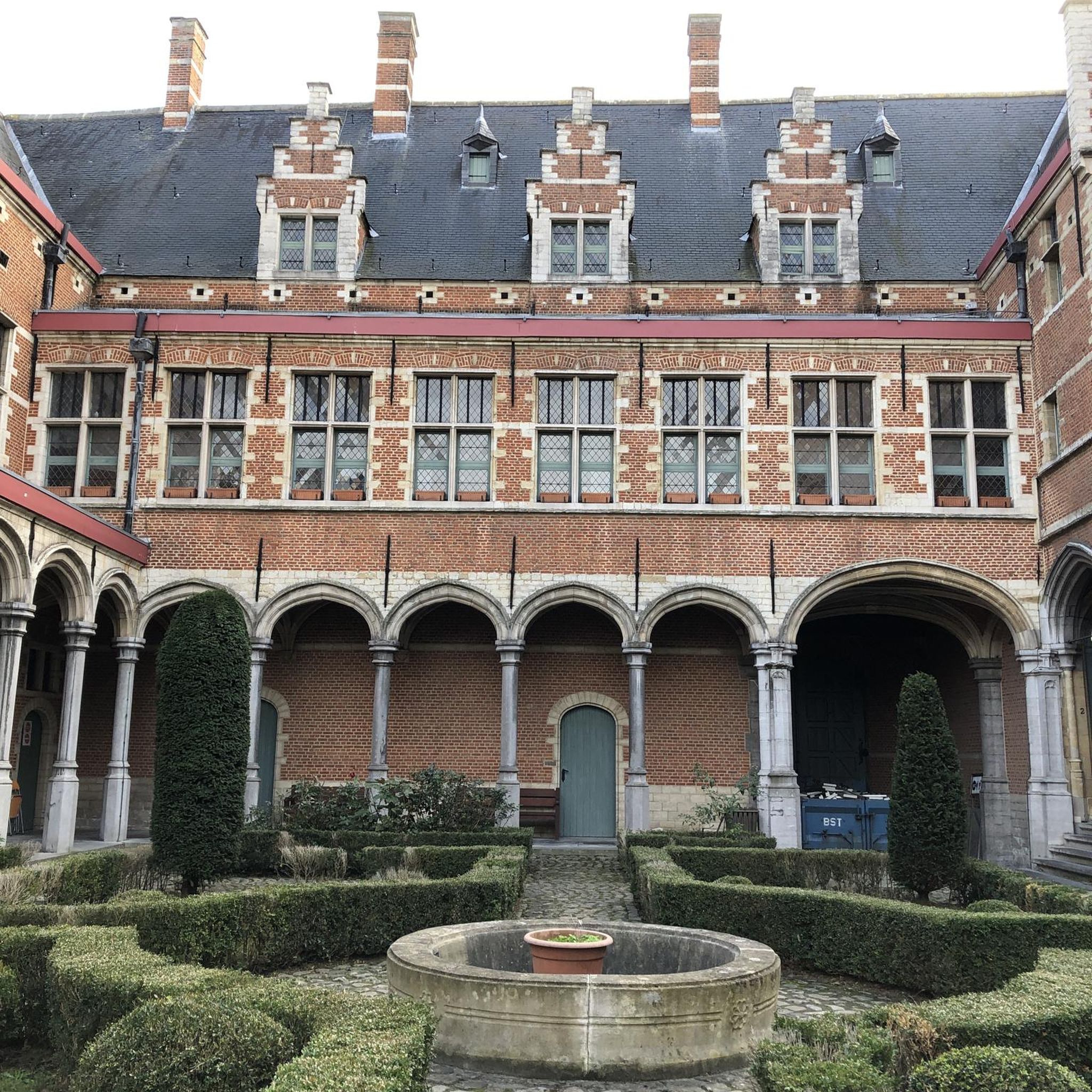
Right next to Plaza Central, a beautiful square with a park in the middle of the city
1
0
Is the best preserved baroque building in the old capital of the country. The Mercedarian Order was founded in 1218 by Peter Nolascus in the Kingdom of Aragon. De.m.wikipedia.org
0
0
Located on the central square of Antigua in Guatemala. It serves as the headquarters of the Guatemalan Institute of Tourism, the Antigua Tourism Association, the National Police, and the Government of the Department of Sacatepquez. Wikipedia
2
0
With the permission of the first bishop of Guatemala, Francisco Marroquin, the Mercedians, who were mainly active in Peru, attempted to build a church and monastery in Antigua with great difficulty. It is thanks to the construction instructions of the architect Juan de Dios Estrada from 1749 that La Merced survived the 1773 earthquake relatively well. (Travel guide Reise Know how Guatemala)
1
0

The Palacio de los Capitanes Generales was the administrative headquarters of the Spanish colonial government. The building on the Parque Central was built in 1558, was damaged several times by earthquakes and is now a cultural center.
4
0


A wonderfully green park in the heart of the city. Sitting on one of the benches you can watch the hustle and bustle around you.
1
0

Frequently Asked Questions
How many mountain bike trails are available in San Antonio Aguas Calientes?
There are 24 mountain bike trails in San Antonio Aguas Calientes. These routes offer a mix of easy, moderate, and difficult options, catering to various skill levels.
Are there easy mountain bike trails suitable for beginners in San Antonio Aguas Calientes?
Yes, San Antonio Aguas Calientes offers 4 easy mountain bike trails. These routes are generally shorter and have less elevation gain, making them suitable for beginners or those looking for a relaxed ride. An example is the Mountainbike loop from Antigua Guatemala, which is 18.6 km long.
What kind of terrain can I expect on mountain bike trails in San Antonio Aguas Calientes?
The terrain in San Antonio Aguas Calientes is characterized by rolling hills, agricultural lands, and paths leading to various viewpoints. You'll find a mix of open countryside and more secluded areas, with routes often including significant climbs and descents.
Are there challenging mountain bike trails for experienced riders?
Yes, there are 7 difficult mountain bike trails for experienced riders seeking a challenge. These routes feature substantial elevation changes and longer distances. For instance, the Santa María de Jesús loop from Santa Catarina Barahona is a difficult 33.6 km trail with over 1100 meters of elevation gain.
Are there mountain bike trails that offer scenic views?
Many mountain bike trails in San Antonio Aguas Calientes pass through rural areas and lead to scenic viewpoints. The region's hilly terrain provides opportunities for panoramic vistas of the surrounding landscape. Consider the Alta Mira Viewpoint loop from Antigua Guatemala for a route known for its views.
Are there mountain bike loop trails in San Antonio Aguas Calientes?
Yes, the majority of mountain bike routes in San Antonio Aguas Calientes are designed as loops, allowing you to start and finish at the same point. Examples include the Parroquia San Sebastián loop from Fuentes del Valle San Miguel and the The Tree House loop from Antigua Guatemala.
What is the average length of mountain bike trails in this region?
The mountain bike trails in San Antonio Aguas Calientes vary significantly in length. While some easy routes are around 18-20 km, many moderate and difficult trails range from 25 km to over 70 km, offering options for rides of different durations.
What do other mountain bikers enjoy most about mountain biking in San Antonio Aguas Calientes?
The mountain bike routes in San Antonio Aguas Calientes are highly rated by the komoot community, with an average score of 4.7 stars. Reviewers often praise the diverse landscape, the mix of open countryside and secluded paths, and the challenging climbs and rewarding descents.
Are there mountain bike trails connecting to nearby towns or points of interest?
Yes, the network of trails in San Antonio Aguas Calientes includes routes that connect to nearby towns and various viewpoints. This allows riders to explore the broader region and experience the local culture and scenery. For example, several routes start from or pass through Antigua Guatemala.
What is the typical elevation gain on mountain bike trails in San Antonio Aguas Calientes?
Elevation gain varies significantly depending on the trail's difficulty. Easy routes might have a few hundred meters of ascent, while difficult trails can feature over 1000 meters of climbing. The most challenging routes, like the The Tree House loop from Hacienda de las Flores, can have over 2200 meters of elevation gain.
How long does it typically take to complete a mountain bike trail here?
The duration of a mountain bike trail depends on its length and difficulty. Easy routes might take around 1.5 to 2 hours, while moderate trails can range from 2.5 to 4 hours. Difficult and longer routes can take 6 hours or more to complete, such as the 71.4 km The Tree House loop from Hacienda de las Flores.
Most popular routes in San Antonio Aguas Calientes

Get inspired with the komoot mobile app


Explore more
Browse the best MTB trails in other regions.
