The best running trails in Alotenango
4.1
(17)
415
runners
6
runs
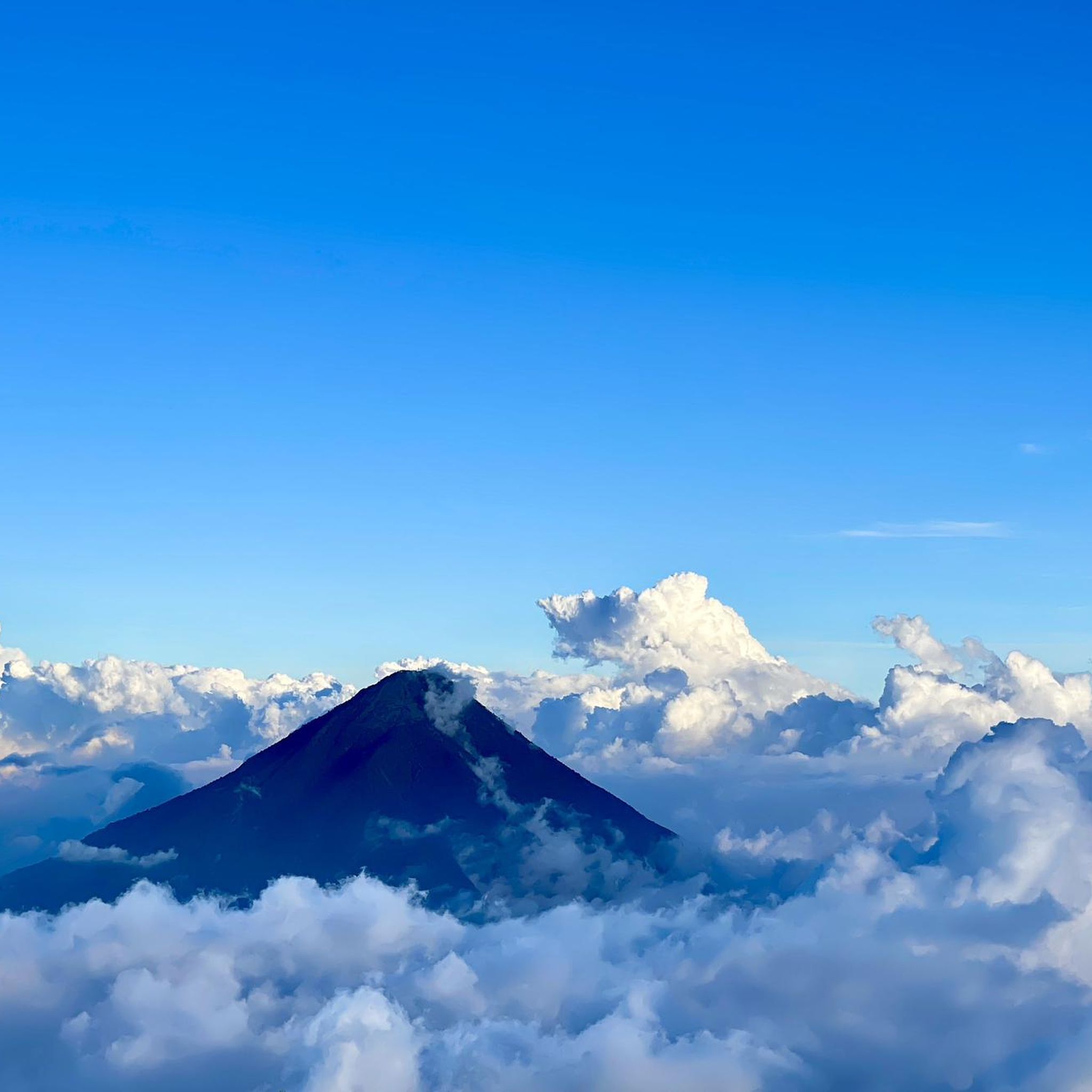
Jogging routes in Alotenango are set amidst dramatic volcanic landscapes, sprawling coffee plantations, and diverse trail systems. The region is characterized by the presence of Volcán de Fuego, Volcán Acatenango, and Volcán de Agua, with their lower slopes offering varied terrain for running. Joggers can explore paths through lush coffee fields and more rugged trails, often with panoramic views of these majestic peaks. The valley location also provides opportunities for running along rural roads with scenic countryside views.
Best jogging…
Last updated: October 8, 2026
3.5
(2)
47
runners
14.3km
01:45
440m
440m
Hard run. Very good fitness required. Mostly paved surfaces. Suitable for all skill levels.
36
runners
13.6km
03:28
1,470m
1,470m
Hard run. Very good fitness required. Sure-footedness, sturdy shoes and alpine experience required.

5.0
(1)
7
runners
5.18km
00:32
10m
10m
Moderate run. Good fitness required. Mostly paved surfaces. Suitable for all skill levels.
5
runners
7.77km
00:49
50m
50m
Moderate run. Good fitness required. Mostly paved surfaces. Suitable for all skill levels.
3
runners
6.19km
00:39
30m
30m
Moderate run. Good fitness required. Mostly paved surfaces. Suitable for all skill levels.
Our route recommendations are based on thousands of hikes, rides, and runs completed by other people on komoot.

Tips from the Community


hike without any difficulty, just a little more elevation after a big climb before but worth the detour
0
0

Hi David, did you climb the volcano yourself? Wonder if the trails are well marked, and you can do it without a tour guide :)
2
1

We had a great two day trip up Acatenango and Fuego. After a six hour ascent of Acatenango and we overnighted in a tent in the crater before tackling Fuego in the morning and watching it spit its fire. A great couple of days.
8
0
Frequently Asked Questions
What kind of terrain can I expect on the running routes in Alotenango?
The running routes in Alotenango offer diverse terrain, ranging from relatively flat, paved sections suitable for all skill levels to more rugged, challenging paths. You'll find trails weaving through lush coffee plantations, rural roads with scenic countryside views, and paths on the lower slopes of volcanoes like Volcán de Agua, which can involve significant elevation changes and require sure-footedness.
What natural features or landmarks can I see while running in Alotenango?
Alotenango's running routes are set against a dramatic backdrop of volcanic landscapes, offering panoramic views of Volcán de Fuego, Volcán Acatenango, and Volcán de Agua. Many trails also pass through extensive coffee plantations, providing a picturesque environment and a glimpse into the local agricultural heritage. While specific attractions are not listed for these routes, the natural beauty of the volcanoes and coffee fields are the main draw.
Are there any easy running routes for beginners in Alotenango?
While many routes in the Alotenango area are rated moderate to difficult, there are options that cater to different fitness levels. For instance, the Running loop from Antigua Guatemala is a moderate 3.2-mile (5.2 km) trail with minimal elevation gain, making it a good choice for those looking for a less strenuous run. Another moderate option is the Running loop from Ciudad Vieja, which covers 4.8 miles (7.7 km).
What are the typical distances of running routes in the Alotenango region?
The running routes in the Alotenango area vary in length. You can find shorter runs like the Running loop from Antigua Guatemala at 3.2 miles (5.2 km), up to longer and more challenging trails such as the IGSS Descent loop from Antigua Guatemala, which is 8.9 miles (14.3 km) long, or the Running loop from la Soledad at 8.5 miles (13.6 km).
What is the best time of year to go running in Alotenango?
Alotenango generally experiences a mild climate. The dry season, which typically runs from November to April, is often considered the best time for outdoor activities like running. During this period, you can expect clearer skies and more favorable trail conditions, making for a more enjoyable experience.
Are there any circular running routes available in Alotenango?
Yes, many of the running routes in the Alotenango area are designed as loops, allowing you to start and finish at the same point. Examples include the IGSS Descent loop from Antigua Guatemala, the Running loop from la Soledad, and the Running loop from Antigua Guatemala.
What do other runners enjoy most about jogging in Alotenango?
The running routes in Alotenango are highly rated by the komoot community, with an average score of 4.2 stars from over 15 reviews. Runners often praise the dramatic volcanic vistas, the unique experience of running through coffee plantations, and the variety of terrain that caters to different fitness levels.
Are there any family-friendly running routes in Alotenango?
For families looking for a less strenuous run, routes with moderate difficulty and paved sections are available. While specific 'family-friendly' designations aren't provided, options like the Running loop from Antigua Guatemala (3.2 miles, moderate) or the Running loop from Ciudad Vieja (4.8 miles, moderate) could be suitable, depending on the family's fitness level and the children's age.
Are dogs allowed on the running trails in Alotenango?
While the guide does not specify official rules regarding dogs on all trails, it's generally advisable to check local regulations or specific trail signage before bringing your dog. When permitted, ensure your dog is on a leash and that you clean up after them to maintain the natural environment for everyone.
Do I need any special permits for running on the volcano trails near Alotenango?
While the lower slopes and surrounding areas of the volcanoes offer running opportunities, ascents of the prominent volcanoes like Volcán de Fuego, Volcán Acatenango, and Volcán de Agua are often challenging hikes that may require permits or local guides due to their difficulty and potential safety considerations. For general running on established trails, permits are typically not required, but it's always wise to be informed about specific areas, especially if venturing onto less-traveled paths.
How many running routes are listed on komoot for the Alotenango area?
Komoot currently lists 6 distinct running routes in the Alotenango area, providing a range of options for runners to explore the region's diverse landscapes.
What are some of the more challenging running routes in Alotenango?
For experienced runners seeking a vigorous workout, Alotenango offers challenging routes with significant elevation gains. The Running loop from la Soledad is a difficult 8.5-mile (13.6 km) path known for its substantial elevation gain. Another demanding option is the IGSS Descent loop from Antigua Guatemala, an 8.9-mile (14.3 km) difficult trail with notable elevation changes.

Get inspired with the komoot mobile app


Didn’t find what you were looking for?
Check out more Running Trails & Routes throughout Alotenango below and find the perfect route in your destination.
Explore more
Browse the best Running Trails & Routes in other regions.
